10 Common Everest Base Camp Trek Mistakes First-Time Trekkers Make (And How to Avoid Them)
28 Jul 2026
Avoid the 10 most common Everest Base Camp Trek mistakes and prepare with expert tips for a safer, more enjoyable Himalayan adventure.

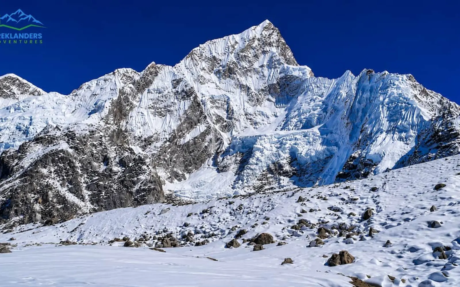
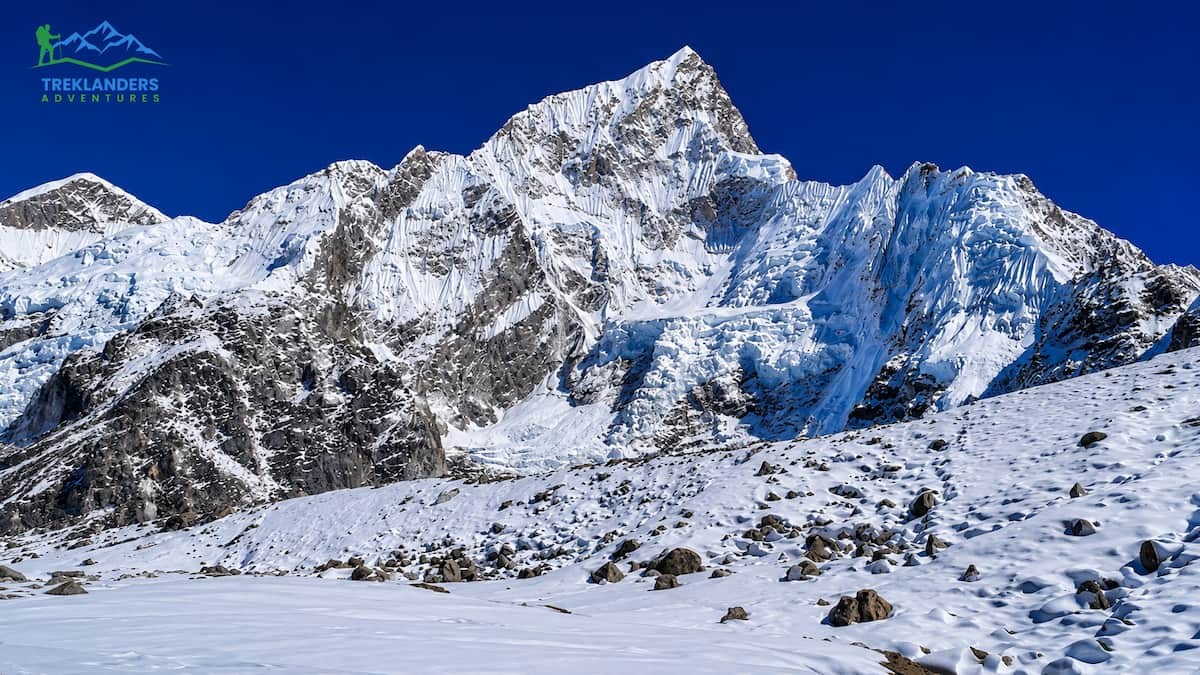
September changes Nepal overnight. The monsoon clouds break, the trails dry out, and the mountains show up in full color after months of hiding behind rain and haze. This is the first month of autumn, and for trekkers, it's the moment the country opens back up.
If you've been watching the weather reports and wondering when to book your flight, September answers that question. Rice fields turn gold in the lower valleys. Rhododendron forests hold onto their green before the October crowds arrive. And the peaks, Everest, Annapurna, Manaslu, Langtang, stand out against skies that have been washed clean by the last of the rain.
This guide covers ten treks that work best in September, from short valley walks to high alpine crossings. Each one handles the tail end of the monsoon differently, and each reward you with something the other seasons can't quite match.
Some of these routes sit close to Kathmandu and Pokhara and suit trekkers with a week to spare. Others push into restricted areas near the Tibetan border and demand two or three weeks of commitment. Read through all ten before you book anything. The right trek for September depends less on which mountain looks best in photos and more on how much time you have and how your body handles altitude.
Late August and early September still carry some monsoon leftovers. You'll get afternoon showers, especially in the first two weeks, and trails in the lower hills can be muddy and leech prone. But the payoff starts early: humidity drops, the air clears, and visibility improves fast as the month goes on.
By mid-September, most of Nepal's trekking regions have dried out enough for comfortable walking. Waterfalls run full from the recent rain. Terraced fields glow green and gold depending on the harvest cycle. And because peak season hasn't fully hit yet, teahouses have space and trails feel less crowded than they will in October.
Higher-altitude routes above 4,000 meters clear up faster than lower forest trails, since rain lingers longer in the valleys. If you're chasing mountain views specifically, the second half of September gives you some of the best clarity of the entire year, before the dust and haze of late autumn and winter set in.
Pack for both worlds. You'll want a light rain shell for the early part of the month and warm layers for camp above 4,000 meters. Trekking poles help on the slick sections, and quick-dry clothing beats cotton every time in this kind of transitional weather.
Bring a proper rain cover for your pack even if the forecast looks clean. Mountain weather in Nepal shifts fast, and a clear morning can turn into a wet afternoon within an hour, especially in the first half of the month. A separate dry bag for electronics and documents is worth the extra weight. Sturdy, broken-in boots matter more here than in drier months, since wet stone steps and muddy switchbacks punish new footwear fast.
Leech socks are worth carrying if your route passes through lower forest below 2,500 meters, particularly on Annapurna Base Camp, Manaslu, and the lower stretches of Kanchenjunga. They're a minor nuisance rather than a real danger, but nobody enjoys pulling one off their ankle mid-trail.
Flight delays into mountain airstrips like Lukla remain the biggest logistical risk in the first half of September. Cloud tends to build over the runway by mid-morning, so early flights have a better success rate than later ones and building a spare day or two into your schedule before you fly home protects you against a string of delayed departures. Trekking agencies based in Kathmandu and Pokhara track these patterns closely and can advise on realistic buffer days for whichever route you choose, since the risk varies by airstrip and by how far into the month you're traveling.
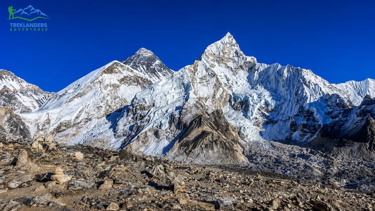
Everest Base Camp Trek in September gives you something the peak autumn months don't: room to breathe. The trail through the Khumbu is still finding its rhythm after monsoon, and while October and November pack the lodges tight, September lets you walk at your own pace and actually get a table by the fire when you want one.
The flight into Lukla can be temperamental in the first half of the month, since morning cloud cover sometimes delays departures. Once you're on the ground, though, the trail from Lukla to Namche Bazaar moves through a forest that's never looked better. The monsoon rain has pushed everything into full bloom, and the rivers running alongside the trail are loud and fast.
Namche Bazaar sits at 3,440 meters and gives you your first real look at Everest and Lhotse on a clear day. From there, the trail climbs through Tengboche, home to the region's most famous monastery, and into the drier upper valley around Dingboche and Pheriche. This is where September really pays off. Khumbu's high peaks, Ama Dablam in particular, tend to clear up beautifully in the late afternoon light this time of year.
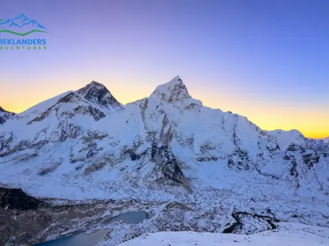
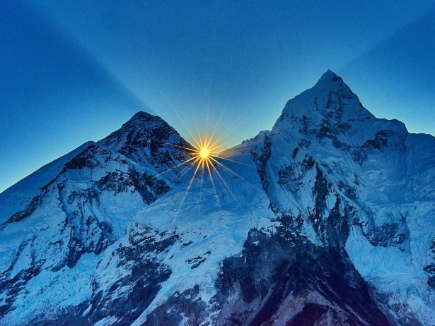
Everest Base Camp itself sits at 5,364 meters, a full day walk from Gorak Shep. You won't see the summit of Everest from Base Camp itself; that view is reserved for Kala Patthar, a short, steep climb above Gorak Shep that gives you the classic postcard shot of Everest's south face at sunrise.
Altitude is the real challenge on this route, not the terrain. Give yourself two acclimatization days, one in Namche and one in Dingboche, and drink more water than feels necessary. The trek typically runs 12 to 14 days round trip from Lukla, and September's shorter crowds mean you'll get better rooms and quicker service at teahouses that fill up fast come October.
Sherpa culture shapes this trail as much as the mountains do. Prayer flags line every ridge; mani walls run along the path in Khumjung and Khunde, and the monastery at Tengboche holds a puja ceremony most mornings that trekkers are welcome to sit in on. Namche's Saturday market still draws traders up from lower villages the way it has for generations, and stopping there for a rest day gives you a look at daily Khumbu life beyond the trekking trail. Wildlife sightings pick up in September too, with mountain goats and Himalayan tahr more visible on the drier upper slopes than during the wetter months.
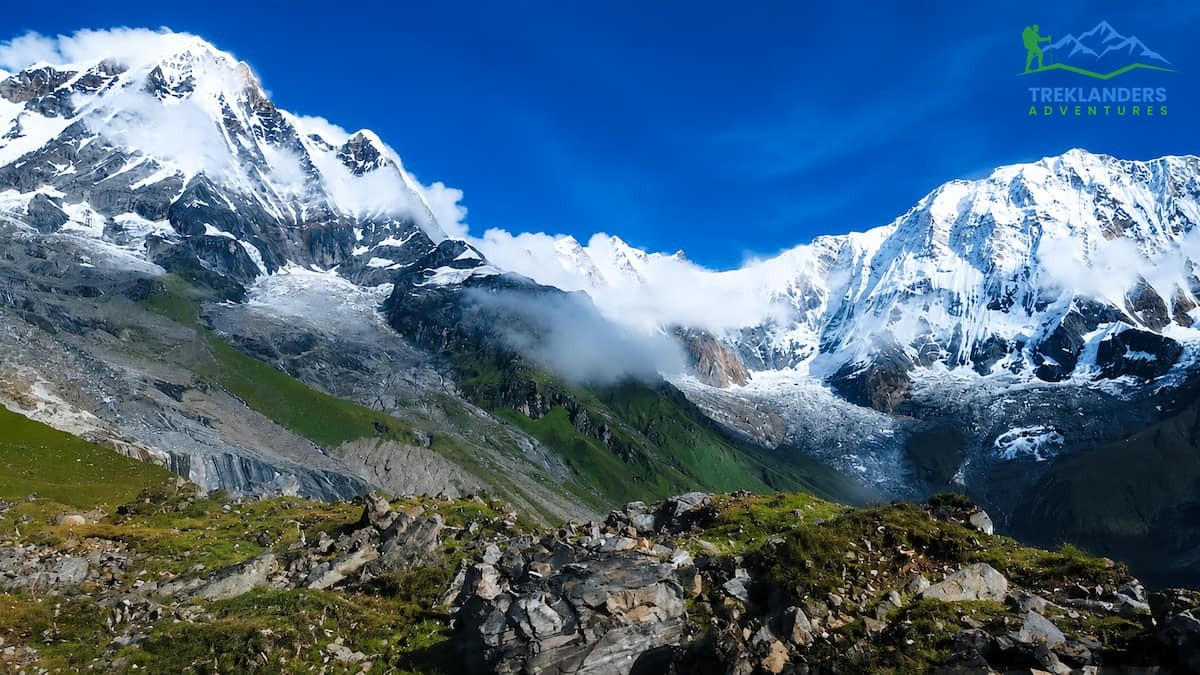
Annapurna Base Camp Trek trades the long approach of Everest for a shorter, steeper, and arguably more dramatic finish. You walk into a natural amphitheater surrounded by Annapurna I, Machhapuchhre, Hiunchuli, and Annapurna South, all rising directly above your tent. Few treks in the world put you this close to peaks this tall this fast.
September starts the trek in full monsoon recovery mode. The lower trail, through Ghandruk and Chhomrong, runs through rice terraces and rhododendron forest that are still holding their monsoon green. Waterfalls cascade off the ridgelines in every direction, and the Modi Khola river roars below the trail for most of the route.
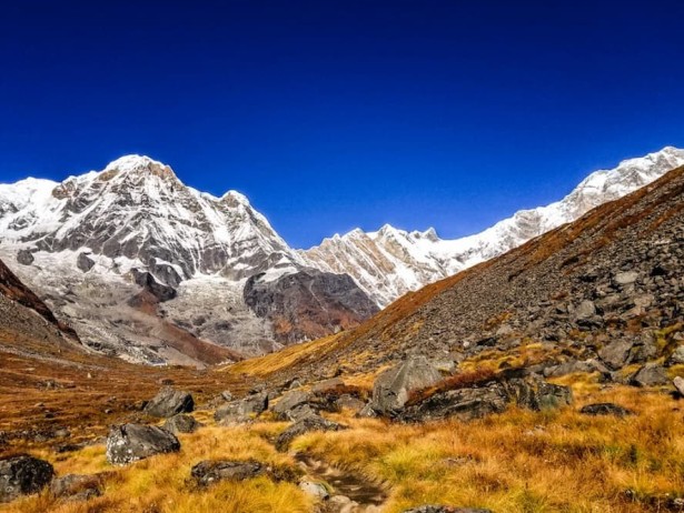
The path steepens noticeably after Chhomrong, dropping into a valley and climbing back out through Bamboo, Dovan, and Himalaya, all named for what surrounds them. This section can still be wet in the first half of September, and the stone steps get slippery, so trekking poles and grippy boots matter here more than almost anywhere else in Nepal.
Machhapuchhre Base Camp, the last stop before ABC itself, opens up the view for the first time. From there, it's a short climb into the Sanctuary, a glacial basin ringed by peaks on all sides. Reaching Annapurna Base Camp at sunrise, when the light hits Annapurna I first and works its way around the amphitheater, is one of the most photographed moments in Nepali trekking for good reason.
This route runs 7 to 12 days depending on your starting point and pace, making it one of the more accessible high-altitude treks in the country. Altitude tops out around 4,130 meters, low enough that most trekkers handle it without serious acclimatization concerns, though the elevation gain per day still deserves respect.
The villages along the way tell their own story. Ghandruk is one of the largest Gurung settlements in Nepal, with stone houses stacked up the hillside and a small museum dedicated to Gurkha regimental history. Chhomrong marks the last permanent village before the trail climbs into wilder terrain, and its terraced fields give you one of the last good looks at cultivated farmland before the forest and rock take over. September's rivers run loud through this whole stretch, swollen from the recent rain, and the sound of moving water follows you for most of the trek up to Machhapuchhre Base Camp.
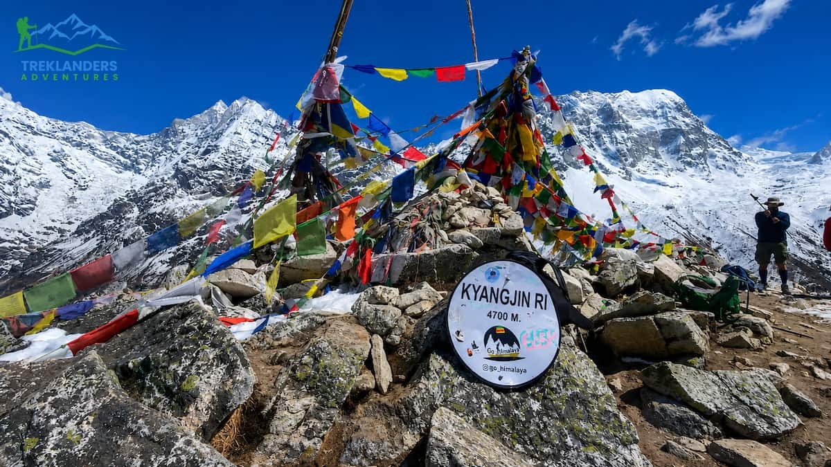
Langtang Trekking region is closer to Kathmandu than any other major trekking region in Nepal, which makes it the easiest of the big valleys to reach and one of the least crowded. September brings the valley back to life after monsoon, with glacier-fed rivers running high and forests thick with moss and rhododendron.
The trek starts in Syabrubesi, a drive of roughly seven to eight hours from Kathmandu and follows the Langtang Khola upstream through forest that shelters red pandas and langur monkeys, even if you won't always spot them. The trail climbs steadily through Lama Hotel and into the upper valley, where the trees thin out and the peaks of Langtang Lirung and the surrounding ridgeline start to dominate the skyline.
Langtang village itself was destroyed in the 2015 earthquake and has been rebuilt by the local community, largely from the tourism that treks like this one brings back. Staying here connects you to that rebuilding in a way that's hard to describe until you've walked through it yourself.

From Langtang village, the trail continues to Kyanjin Gompa, a small settlement at 3,870 meters with a working monastery and a cheese factory that's been operating since the 1950s. From Kyanjin, you can climb Tserko Ri or Kyanjin Ri for panoramic views of Langtang Lirung and the surrounding glaciated peaks, both achievable as day hikes without technical climbing gear.
Langtang trek runs 7 to 10 days round trip and works well for trekkers who want high mountain scenery without the logistics of a flight into a remote airstrip. September's clearer skies make the upper valley view's especially sharp, and the relative quiet compared to Everest or Annapurna gives the trek a different, more contemplative feel.
The cheese factory at Kyanjin Gompa still produces yak cheese using methods introduced by a Swiss dairy project decades ago, and you can watch the process and buy a wheel to take with you. The valley's forests, thick with hemlock, fir, and rhododendron, hold some of the best birdwatching in the region, with sightings of blood pheasant and various species of Himalayan finch reported regularly by local guides. This trek also pairs well with a side trip to Gosaikunda, a set of sacred alpine lakes reachable by a separate high pass route for trekkers with extra days and a taste for a longer, harder itinerary.
Manaslu Circuit Trek has built a reputation as the trek that feels like Annapurna Circuit did twenty years ago: remote, culturally rich, and largely free of crowds even during peak months. Circling the eighth-highest mountain in the world, this route requires a restricted area permit and typically a licensed guide, which keeps numbers low, and the trail experience raw.
The trek follows the Budhi Gandaki River from the lowlands near Soti Khola up into high alpine terrain near the Tibetan border. September's early weeks can still bring rain to the lower gorge sections, where the trail cuts through dense forest and crosses the river on suspension bridges repeatedly. By the time you reach Samagaon, a large Tibetan Buddhist village at around 3,530 meters, the terrain opens into wide valleys with direct views of Manaslu itself.
Samagaon and the nearby village of Samdo give you two full acclimatization days if you take them, both worth spending on side trips. A hike to Manaslu Base Camp or Birendra Lake from Samagaon offers close-up views of the mountain glaciers without adding trekking days to your main route.
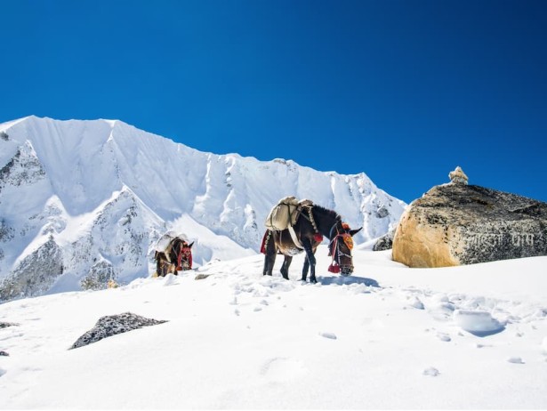
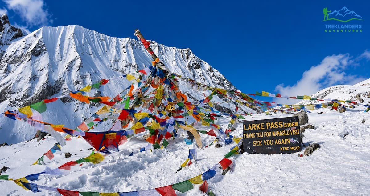
The trek's high point is the Larkya La pass, crossed at 5,106 meters. This is a serious mountain pass, cold, exposed, and long, typically requiring a pre-dawn start to cross before afternoon wind picks up. The descent on the far side drops into the Marsyangdi valley near Bimthang, with views back toward Manaslu and forward toward Annapurna II and Himlung Himal.
Manaslu Circuit Trek runs 14 to 18 days depending on your itinerary and acclimatization schedule. It demands more preparation than Everest or Annapurna, both in permits and in physical conditioning for the pass crossing, but it delivers a trek that still feels genuinely remote.
Villages along the upper trail, particularly Samagaon and Samdo, follow customs closer to Tibetan tradition than lowland Nepali culture, shaped by centuries of trade across the nearby border. Chortens and mani walls mark the trail entrance to most settlements, and local guides will often explain the correct way to pass them, keeping the structure on your right. Because the region only opened to foreign trekkers in the early 1990s, the trail infrastructure feels newer and less developed than Everest or Annapurna, with fewer lodges and simpler meals, which is exactly what draws experienced trekkers back to it.
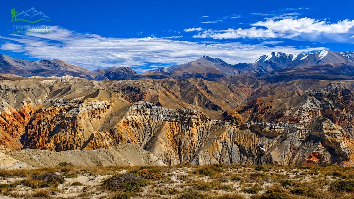
Upper Mustang sits in Nepal's rain shadow, tucked behind the Annapurna and Dhaulagiri ranges, which means it barely gets touched by monsoon at all. This makes September a particularly good window: you get the tail end of green in the lower approach trail and the desert-like clarity of Mustang's high plateau without the extreme cold of winter.
The landscape here looks nothing like the rest of Nepal. Instead of forest and rice terraces, you walk through eroded canyons, wind-carved cliffs, and stark ochre and red rock formations that resemble parts of Tibet more than the rest of the Himalaya. Mustang was an independent kingdom until relatively recently, and its Tibetan Buddhist culture remains largely intact, shaped by centuries of trade along the old salt route between Tibet and India.
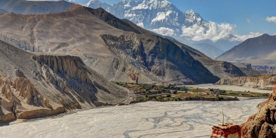
The trek usually starts with a flight or drive to Jomsom, followed by a walk north through Kagbeni, the gateway to Upper Mustang, and on to Lo Manthang, the walled former capital of the kingdom. Lo Manthang holds centuries-old monasteries with murals that predate much of what survives in Tibet itself, since Mustang avoided the destruction that hit religious sites during China's Cultural Revolution.
Wind is the defining challenge here, not altitude or rain. Mustang's valleys funnel strong afternoon winds that pick up by late morning and continue into the evening, so most trekking days start early to cover ground before the wind hits its peak. September's weather tends to be more stable than the winter months, without the bitter cold that makes Mustang's high plateau punishing between December and February.
This trek runs 10 to 14 days depending on whether you fly or drive to Jomsom and how many side trips you add around Lo Manthang. Because it requires a restricted area permit, group sizes stay small, and the trail rarely feels crowded even during busier months.
Cave dwellings dot the cliffs above several villages along the route, some dating back over two thousand years and still being studied by archaeologists for their painted murals and preserved manuscripts. Local festivals, particularly the Tiji festival held in Lo Manthang, draw on stories of demons and protective deities acted out over three days of masked dance, though its exact dates shift year to year and rarely fall in September. Horseback riding remains a practical way to cover ground here too, and several villages still keep horses for exactly that purpose. A nod to Mustang's history as a trade corridor long before trekking tourism arrived.
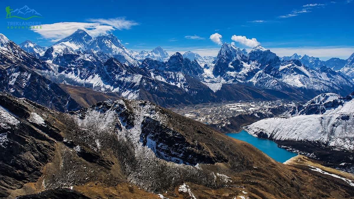
Gokyo Lake Trek offers an alternative to the standard Everest Base Camp route, trading the crowded Base Camp trail for a quieter valley and a view many trekkers consider superior. The trek follows the same path as EBC through Namche Bazaar before branching west toward the Gokyo valley and its chain of turquoise glacial lakes.
September's clearer skies matter enormously here, since the entire point of this trek is visibility. The trail climbs alongside the Ngozumpa Glacier, Nepal's longest, through Machhermo and into Gokyo village at 4,790 meters, set beside the third of six sacred lakes in the valley. The lakes themselves shift color depending on light and season, running from deep blue to pale green depending on glacial silt levels.
Gokyo Ri, a peak rising above the village to 5,357 meters, delivers the trek's signature view. From the summit at sunrise, you see four of the world's six highest peaks in a single frame: Everest, Lhotse, Makalu, and Cho Oyu, along with the full sweep of the Ngozumpa Glacier below. Many trekkers who've done both Kala Patthar and Gokyo Ri rate this summit as the better of the two.
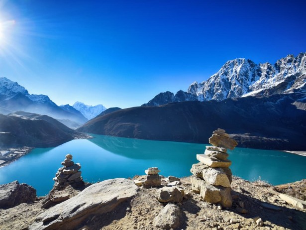
The trek can be extended over the Cho La pass at 5,420 meters to connect with the standard EBC trail, forming a loop that combines both major viewpoints into one longer itinerary. This crossing requires some scrambling over loose rock and occasional snow, and it adds real difficulty compared to the standard out-and-back Gokyo route.
A straightforward round trip to Gokyo and back runs 10 to 12 days from Lukla. Adding the Cho La crossing and continuing to Everest Base Camp extends the trip to around 16 to 18 days. Either way, September's stable weather window gives you a much better shot at that four-peak view from Gokyo Ri than the cloudier months surrounding it.
The Ngozumpa Glacier itself is worth slowing down for. Covered in rock and debris rather than exposed ice, it looks more like a moving boulder field than a glacier from a distance, and a short walk onto its lateral moraine gives you a sense of scale that photos don't capture. The lakes hold religious significance for both Hindus and Buddhists, and you'll often see prayer flags strung along their shores. Trekkers who prefer a quieter alternative to the Everest Base Camp crowds tend to remember Gokyo as the better trip precisely because of how few people share the trail with them, even in a good weather window.
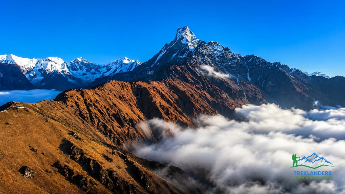
Mardi Himal Trek is one of the shorter treks on this list, and one of the most accessible for trekkers without much high-altitude experience. Tucked into the Annapurna region but separate from the main Annapurna Base Camp trail, Mardi Himal has grown quickly in popularity over the last decade thanks to its ridge-top views and manageable length.
The trail starts near Kande, a short drive from Pokhara, and climbs through rhododendron and oak forest before breaking above the tree line onto an open ridge. September's forest sections still hold monsoon moisture, so expect some mud on the lower trail, but the payoff comes fast once you clear the trees.
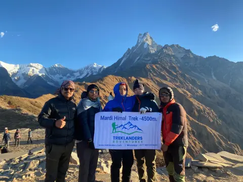
High Camp, at around 3,700 meters, sits below the final push to Mardi Himal Base Camp. From here, Machhapuchhre dominates the skyline at close range, close enough that the mountain's distinctive fishtail shape fills most of your view. Annapurna South and Hiunchuli round out the panorama, and on a clear September morning, the whole ridge lights up in direct sunrise light with almost nothing blocking the view. Mardi Base Camp itself sits at roughly 4,500 meters, reached via a narrow ridge trail with steep drops on either side in places. This isn't a technical climb, but the exposure and thin trail width mean it's not the trek for anyone uncomfortable with heights.
Mardi Himal Trek typically runs 5 to 7 days round trip, making it one of the fastest ways to get serious mountain views in Nepal without committing to a two-week itinerary. It also connects well with a few extra days in Pokhara before or after, for trekkers building a shorter overall Nepal itinerary.
Because the trail sits close to Pokhara and requires no restricted area permit, it works well as a spontaneous add-on for trekkers already in the region for Annapurna Base Camp or Poon Hill. Teahouses along the route are simple compared to the established lodges on the main Annapurna trails, since the route only opened to trekkers in the early 2010s. That newer infrastructure means smaller rooms and shorter menus, but also a trail that hasn't been shaped by decades of mass tourism the way some of Nepal's older routes have.
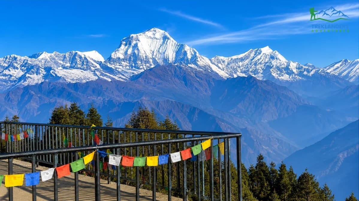
Poon Hill is the trek most people recommend to first timers, and September gives it one of its best possible versions. Short, well-established, and dotted with comfortable teahouses along the entire route, this trek delivers a genuine Himalayan sunrise view without demanding much in the way of altitude or fitness.
The trail begins near Nayapul, a short drive from Pokhara, and climbs through Tikhedhunga and Ulleri via a long stone staircase that tests your legs early. From there, the route continues through Ghorepani, a village perched at 2,860 meters surrounded by rhododendron forest that turns the hillsides red and pink when it blooms in spring.
Poon Hill itself, at 3,210 meters, sits a short pre-dawn walk above Ghorepani. The climb takes under an hour, but arriving before sunrise means walking by headlamp through cold, still air. The view from the top makes it worth the early start: Dhaulagiri, Annapurna South, Annapurna I, Machhapuchhre, and Nilgiri all line up across the horizon, catching first light in a wide, uninterrupted sweep.

September's clearer skies improve this view noticeably compared to the humid haze of summer. The rhododendron blooms peak in spring rather than autumn, so you won't get the famous red forest this time of year, but the mountain visibility more than compensates. This trek runs just 4 to 5 days round trip, making it one of the shortest routes with a genuine high-altitude payoff. It suits trekkers short on time, families with older children, or anyone looking for a manageable introduction to Himalayan trekking before committing to a longer route.
Ghorepani and the surrounding villages belong mainly to the Magar and Gurung communities, and the teahouses here rank among the most comfortable on any short trek in Nepal, a result of decades of steady foot traffic. Side trips from Ghorepani, including a longer loop through Tadapani and back down through Ghandruk, let you extend the trek by a few extra days without repeating the same trail twice. For trekkers unsure whether high-altitude walking suits them, Poon Hill remains the lowest-risk way to test that question before booking something longer and more demanding.
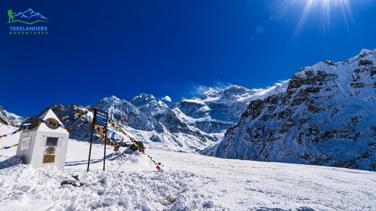
Kanchenjunga Trek region lies in Nepal's far eastern corner, bordering Sikkim, and remains one of the least-visited trekking regions in the entire country. The third-highest mountain on Earth anchors this route, and the remoteness that keeps trekker numbers low is exactly what makes the trek worth the extra travel.
Reaching the trailhead takes real commitment. A flight to Bhadrapur followed by a long drive gets you to Taplejung, where the trek begins. September's early weeks can still bring rain to this eastern region, since it sits closer to the monsoon's retreating edge than the rest of Nepal, but the trail dries out through the month as the weather stabilizes.
The route runs through some of the most biodiverse forest in Nepal, home to red pandas, snow leopards, and dense stands of rhododendron and oak, before climbing into high alpine terrain near the Kanchenjunga massif. Most itineraries visit both North and South Base Camps, connected by a high pass crossing that adds several days but rewards you with a full circuit around the mountain rather than a simple out-and-back.
Kanchenjunga North Base Camp, known locally as Pangpema, sits at around 5,140 meters with direct views of Kanchenjunga's north face. South Base Camp, at Oktang, offers a different angle on the massif and its neighboring peaks. Few trekkers in Nepal ever see either view in person, which gives this trek a genuine sense of discovery that's harder to find on the more established routes.
The full circuit typically runs 20 to 24 days, making Kanchenjunga one of the longest treks in this guide. It requires a restricted area permit, a licensed guide, and a real commitment to logistics and time, but for trekkers who've done Everest or Annapurna and want something further off the map, this is where that search leads.
Villages along the lower trail belong to Limbu and Rai communities, distinct from the Sherpa and Gurung culture found on Nepal's more visited routes, and local guides here often come from these communities themselves. Teahouse infrastructure remains basic compared to Everest or Annapurna, and some sections still rely on camping rather than lodges, so trekkers should come prepared for a more self-sufficient style of travel. The reward for that extra effort is a trail where you might go entire days without meeting another trekking group, something that's become nearly impossible on Nepal's more established routes.
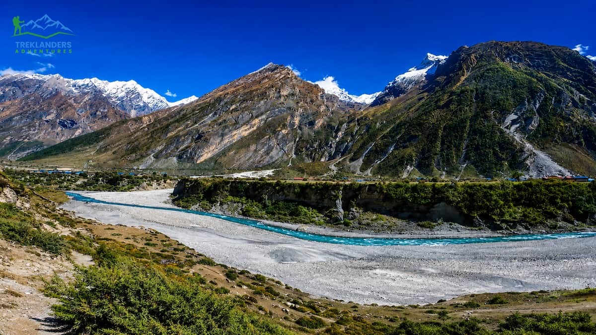
Tsum Valley sits just north of the Manaslu region, hidden behind a ridge that historically kept it isolated from trade routes and outside influence. Known locally as a "hidden valley," Tsum was closed to outsiders until 2008, and its Tibetan Buddhist culture remains some of the most intact in Nepal.
The trek shares its early trail with Manaslu Circuit, following the Budhi Gandaki River before branching north into the Tsum Valley itself. September's weather here mirrors the wider Manaslu region, wetter in the lower gorge sections early in the month and clearer as you gain altitude and the month progresses.
Chumling and Chhokangparo mark the entrance to the valley proper, where stone houses, chortens, and mani walls line the trail in a style closer to traditional Tibet than anywhere else easily accessible in Nepal. Monasteries at Rachen and Mu Gompa anchor the upper valley, both still active and both open to visiting trekkers who take the time to sit with the resident monks and nuns.
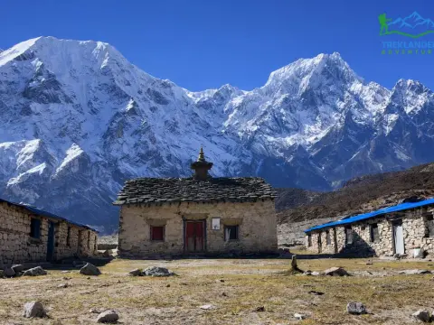
Mu Gompa, the highest point most itineraries reach, sits at around 3,700 meters with views toward the Tibetan border and the peaks separating Tsum from Manaslu proper. Unlike the high passes on nearby routes, this trek doesn't demand serious altitude tolerance, making it accessible to trekkers who want cultural depth without the physical demands of a pass crossing.
Because Tsum Valley requires a restricted area permit and sees a fraction of the traffic that passes through Manaslu Circuit, teahouses here stay quiet even during busier months. Many trekkers combine Tsum Valley with the full Manaslu Circuit for a longer, richer itinerary, though it also works as a standalone trek of around 12 to 15 days for those specifically drawn to its culture and isolation.
Local customs in Tsum still follow practices rooted in centuries of Tibetan Buddhist tradition, including a longstanding local ban on hunting and animal slaughter within the valley, which residents credit with the relatively healthy wildlife populations still found in the surrounding forest. Nuns and monks at Rachen and Mu Gompa welcome visiting trekkers, and many itineraries build in time to sit with them and learn about daily monastic life. September's improving weather through the month makes the upper valley increasingly accessible, though the lower gorge sections shared with Manaslu Circuit still carry some of the same early-month mud and rain.
Your fitness level, time available, and tolerance for altitude should drive this decision more than anything else. Poon Hill and Mardi Himal suit trekkers with a week or less and no serious high-altitude experience. Annapurna Base Camp and Langtang Valley sit in the middle, offering real mountain scenery without extreme elevation or pass crossings.
Everest Base Camp and Gokyo Ri demand more time and better acclimatization planning, but reward you with some of the most recognized mountain views on the planet. Manaslu Circuit and Upper Mustang ask for restricted area permits and more logistical planning, delivering remoteness and cultural depth in exchange. Kanchenjunga and Tsum Valley sit furthest from the standard trekking circuit, built for trekkers who've done the classics and want something genuinely off the beaten path.
Weather timing within September also matters. If you can shift your trip toward the last two weeks of the month, you'll trade some of the lingering monsoon risk for clearer skies and drier trails almost everywhere on this list. Trekkers with flexible dates should lean toward late September, while those locked into early-month travel should build in a buffer day or two in case rain delays a flight or forces a slower pace on a muddy stretch of trail.
Whichever route you pick, September rewards early planning. Flights to Lukla fill up fast once the weather clears, and permits for restricted areas like Upper Mustang, Manaslu, and Kanchenjunga take time to process. Book your trek, break in your boots, and get ready for a month that shows Nepal's mountains at their best.
Talk to a local trekking agency before you commit to a route, especially if this is your first time in Nepal. They know which trails have dried out fastest in a given year, which lodges have space, and which permits need to be filed weeks in advance. September moves fast once the skies clear, and the trekkers who plan early are the ones who get the best rooms, the clearest views, and the smoothest start to their trek.
Nepal's mountains don't wait for anyone's schedule, but September gives you a rare stretch where the weather, the trails, and the light all line up at once. Pick your route, book it early, and let the month do the rest of the work for you. Whether you're chasing a sunrise from Kala Patthar or a quiet monastery in Tsum Valley, September is the month that makes it possible.
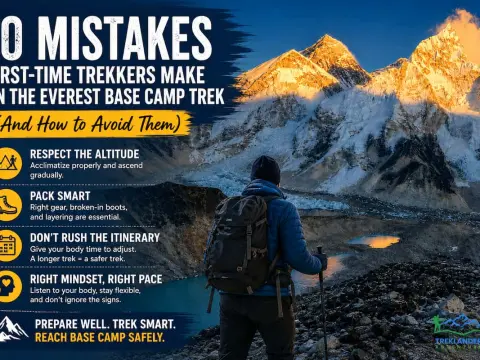
Avoid the 10 most common Everest Base Camp Trek mistakes and prepare with expert tips for a safer, more enjoyable Himalayan adventure.
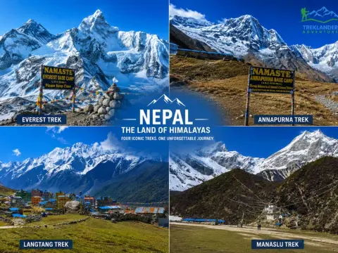
Compare the Everest, Annapurna, Langtang, and Manaslu treks to choose the perfect trekking adventure in Nepal.
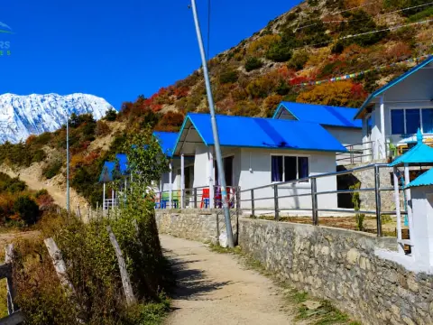
Discover Shree Kharka, the scenic gateway to Tilicho Lake and one of the Annapurna Circuit's most rewarding high-altitude stops.



