
Why the Manaslu Circuit Is Quieter Than Everest Base Camp
28 Oct 2026
Discover why the Manaslu Circuit Trek offers a quieter, less crowded Himalayan adventure than Everest Base Camp.

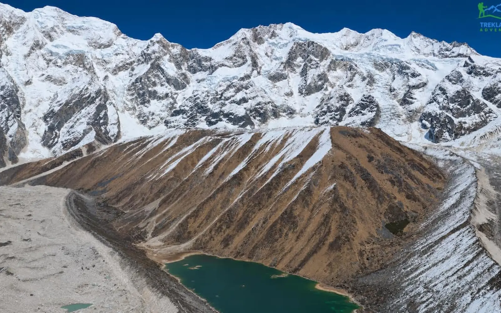
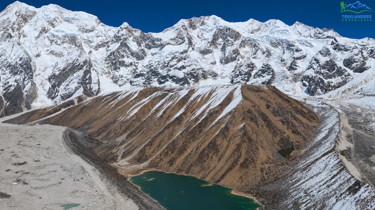
The 12-day Manaslu Circuit Trek appeals to trekkers who want to cross Larkya La Pass but cannot spend two and a half weeks in Nepal. The route is the same loop around Mount Manaslu (8,163 m) that longer plans follow. The schedule is tighter, and that raises a fair safety question. This guide answers it with elevations, walking hours, and checks you can apply to any operator's plan.
The Manaslu Circuit Trek runs through the Gorkha and Manang districts and is a restricted-area route. You start at Machha Khola, follow the Budhi Gandaki River north, reach Sama Gaon at 3,500 m, cross Larkya La at 5,106 m, and finish at Dharapani. Treklanders Adventures operates the route as a 13-day Manaslu Circuit trek with a rest day at Sama Gaon. The 12-day plan in this article keeps that rest day and merges the final two descent days into one.
Below you will find the day-by-day route, the sleeping altitude for every night, the pass-day timing, the warning signs of altitude illness, and the cases where a longer plan is the better choice. Read the numbers first. They tell you more than the day count on a brochure.
Verdict: A 12-day Manaslu Circuit Trek is safe for fit, experienced trekkers when it preserves the acclimatization plan and compresses only the final descent. It is not suitable for first-time high-altitude trekkers, people with prior altitude illness, or travelers with inflexible flights.
The time saving in this plan comes from the descent, not the ascent. After Larkya La, you lose about 1,500 m of elevation in one day, and altitude stops being the main risk. Fatigue, knee strain, and road conditions take over. A plan that removes days from the ascent is a different product, and you should reject it.
If a plan passes all five checks, the day count is not the problem. Your fitness, your sleep, your hydration, and the weather decide the outcome. The sections below explain each factor.
| Day | Route | Sleeping altitude | Walking time | Key note |
|---|---|---|---|---|
| 1 | Kathmandu to Machha Khola | 900 m | 7 to 8 hr. drive | Long approach drive |
| 2 | Machha Khola to Jagat | 1,340 m | 6 to 7 hr. | Permit checkpoint at Jagat |
| 3 | Jagat to Deng | 1,860 m | 5 to 6 hr. | Enters restricted area |
| 4 | Deng to Namrung | 2,660 m | 5 to 6 hr. | Biggest sleeping altitude gain |
| 5 | Namrung to Lho Gaon | 3,180 m | 4 to 5 hr. | First night above 3,000 m |
| 6 | Lho Gaon to Sama Gaon | 3,500 m | 5 to 6 hr. | Main high-valley village |
| 7 | Sama Gaon acclimatization day | 3,500 m | Optional hike | Do not skip |
| 8 | Sama Gaon to Samdo | 3,875 m | 4 to 5 hr. | Short altitude gain day |
| 9 | Samdo to Dharmasala | 4,450 m | 4 to 5 hr. | Highest sleeping point |
| 10 | Dharmasala to Bimthang via Larkya La | 3,590 m | 8 to 10 hr. | Pass at 5,106 m |
| 11 | Bimthang to Dharapani | 1,820 m | 7 to 8 hr. | Compressed descent day |
| 12 | Dharapani to Kathmandu | 1,365 m | 8 to 10 hr. drive | Do not book an evening flight |
The 13-day Manaslu Circuit trekking program from Treklanders follows the same route as the table above, then adds a night at Gho and a separate drive from Besisahar to Kathmandu. That plan uses 12 nights.
The 12-day plan removes the overnight at Gho. You walk from Bimthang to Dharapani in one day and sleep in Dharapani. The ascent, the rest day, and the pass day stay unchanged. You save a day without touching the part of the route where altitude illness develops.
The 14-day Manaslu Circuit trek gives you more time on the same route. The 18-day Manaslu Circuit Trek and the 20-day Manaslu Circuit with Tsum Valley trek spread the walk over even more days, and the 20-day plan adds Tsum Valley. These longer plans suit trekkers who want more margin or more terrain.
| Itinerary | What changes | Best for | Main trade-off |
|---|---|---|---|
| 12 days | Merges Bimthang, Gho, and Dharapani into one long descent day | Fit, experienced trekkers with limited time | Less recovery and weather margin |
| 13 days | Keeps an extra night at Gho | Trekkers wanting a safer final day | One extra day required |
| 14 days | Gives more time for rest, weather, or a slower pace | First-time high-pass trekkers | Longer holiday |
Walking times below follow the Treklanders route notes. Your pace, the season, and trail conditions will change them. The Manaslu region offers few shortcuts, so plan each day as listed.
The drive covers 160 km and takes about seven hours. After you leave the main highway, the road turns into a winding hill track, and progress slows. Leave Kathmandu at first light so you reach Machha Khola, a farm village in Gorkha, by late afternoon. The lodge is simple. Eat a full dinner, drink water, and sleep early. Motion sickness is common on this road, so sit near the front and ask for breaks. A morning in the capital is not possible on this plan, so schedule sightseeing before the trek. The Kathmandu full-day sightseeing tour and the Patan and Bhaktapur tour fit that gap.
You walk about seven hours via Dovan (1,070 m). The trail follows the Budhi Gandaki through farmland and forests of pine and sal. You pass Tatopani, a village with a natural hot spring, and stop for lunch at Khorla Besi. The afternoon climb leaves the river behind and ends at Jagat, the entrance to Upper Manaslu, where officials check your permits. Your sleeping altitude rises by 440 m. This is the longest walking day of the lower valley, so drink regularly even though the air feels warm.
You walk about six hours via Philim. The path enters the restricted area and crosses several streams on bridges, with repeated short climbs and descents. You pass Salleri and Sirdibas, cross a bridge over Gatte Khola, and climb to Philim, a spread-out Gurung farm village where you stop for lunch. After lunch the trail follows a gradual path past Ekle Bhatti and ends with a short climb to Deng. Your sleeping altitude rises by 520 m. From Deng onward, villages follow Tibetan Buddhist customs. Pass mani walls clockwise, keeping them on your right.
You walk about six hours. The trail crosses the Budhi Gandaki on a bridge, climbs to Bhi, and continues through rhododendron and pine forest to Prok. Buddhist monuments line the way, and Namrung offers views of the north face of Manaslu. The sleeping altitude rises by 800 m, the largest single gain of the trek, but it happens below 3,000 m where altitude sickness is less common. Note your sleep quality, appetite, and resting heart rate tonight. You will compare them over the next four nights.
You walk about five hours. Views of Siringi Himal, Ganesh Himal, and Himal Chuli open along the morning trail. The path climbs through dense forest to Lihi, where Buddhist stupas line the route, then passes Sho and ends at Lho Gaon beneath the north face of Manaslu. This is your first night above 3,000 m, with a sleeping altitude gain of 520 m. If you have energy in the afternoon, a short walk to Ribung Monastery is possible.
You walk about six hours. After a short climb the trail descends to Shyala, a village with views of snow peaks, and continues to Sama Gaon, the main village of the upper valley. From the lodge you can see Manaslu, Himal Chuli, and Peak 29 (Ngadi Chuli). The sleeping altitude gain is 320 m, which is gentle for this elevation. Spend the evening resting, eating, and drinking. Tomorrow is your rest day, and you should arrive in good condition for it.
The rest day is the core of this plan's safety. Do not skip it, and do not fill it with a hard walk. Options include a hike to Pungyen Gompa or a walk toward Birendra Lake, which lies on the trail to Manaslu Base Camp. Climb a few hundred meters, then return to sleep at 3,500 m. Wilderness medicine guidelines call this pattern climb high, sleep low. If you feel a headache or nausea, stay at the lodge, drink fluids, and tell your guide. A second night at the same elevation does the work, and a long hike far above it works against the purpose.
You walk about five hours. The terrain turns dry and open, and the climb is gradual until a short steep section into Samdo, the last permanent village before the Tibet border route and the pass. The sleeping altitude gain is 375 m, which keeps you inside the guideline. Expect a colder night and a smaller appetite. Eat even when you do not feel hungry, because low appetite is an early sign of altitude effects.
You walk about four hours, following the riverbed and crossing the Salka Khola several times. The landscape dries out as you gain height, and you reach the foot of Larkya La by lunch. The sleeping altitude gain is 575 m, the largest above 3,000 m and over the 500 m guideline. The short walking day offsets it. Lodges at Dharmasala are basic and have few rooms, and in busy periods trekkers sleep in dormitories or tents. Treklanders notes that meals here need ordering about an hour ahead, so tell your guide early. Eat, drink, and go to bed soon after sunset. Your wake-up call comes in the dark.
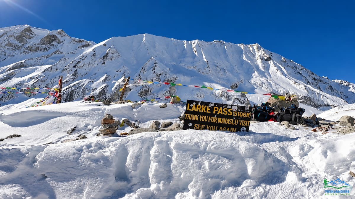
This is the hardest day. You leave early after breakfast and a hot drink, carry a packed lunch, climb a rocky path past Cheo Danda and Larke Peak, reach the pass at 5,106 m, and descend about 1,500 m to Bimthang (3,590 m). The total time is about eight hours. The timing and the risks appear in their own section below. Pack your daypack the night before, and place your warm layers, snacks, water, headlamp, and gloves where you can reach them in the dark. Check the spare batteries at dinner, not at 4 am.
Treklanders lists Bimthang to Gho as a four-hour walk, and the trail continues through Tilje to Dharapani, a large village on the Annapurna Circuit route. Expect seven to eight hours in total. This is the day the 12-day plan compresses. You descend about 1,770 m through rhododendron and pine forest into farmland. Altitude no longer matters, but your legs will be tired from the pass. Use trekking poles on the steep sections and shorten your stride to protect your knees.
You drive through Tal, Chamje, and Syange to Besisahar, then join the highway through Dumre and Mugling and follow the Trishuli River to the Kathmandu valley. The Besisahar to Kathmandu section alone takes about five hours, so the whole day is long. Leave at first light. Do not book an international flight for the evening of this day.
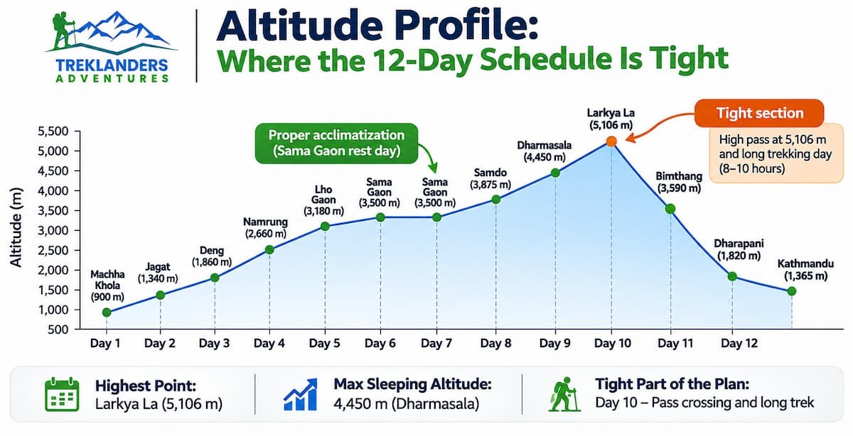
The sleeping altitude for each night tells you more about risk than the number of days. Here are the figures for the 12-day plan:
Standard guidance for trekkers above 3,000 m is to raise the sleeping altitude by no more than about 500 m per night and to take a rest day every three to four nights or every 1,000 m. This plan follows that guidance closely. From Namrung at 2,660 m to Dharmasala at 4,450 m you gain 1,790 m over five nights, an average of 358 m per night. Two nights exceed 500 m, Lho Gaon by 20 m and Dharmasala by 75 m. The rest day at Sama Gaon sits in the middle of that stretch.
The second feature is the gap between the highest sleeping point and the highest walking point. You sleep at 4,450 m and cross at 5,106 m, a difference of 656 m. That is a manageable day gain, and the descent to 3,590 m the same night puts you 860 m lower than where you slept before.
Compare this with other high crossings. The Annapurna Circuit crosses Thorong La at 5,416 m, which is higher than Larkya La. The 13-day Annapurna Circuit trek and the Nar Phu Valley trek with Thorong La pace similar climbs on that side of the Himalaya. Manaslu has fewer lodges and rescue options, so the margin for error is smaller. Read the Manaslu Circuit difficulty comparison for more.
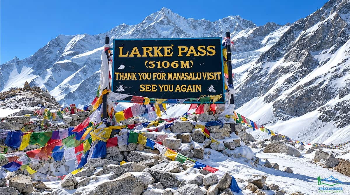
The pass day decides whether the 12-day plan works. Everything before it prepares you for this walk, and everything after it is descent.
You start in the dark after breakfast and a hot drink. Early starts matter because wind builds on the pass later in the morning and the cold is harder to manage once you stop moving. The first section is a slow climb on a rocky path with views of Cheo Danda and Larke Peak. After a steady steep climb you reach the top, where thousands of prayer flags mark the pass. From the top you see Manaslu, Damodar, Annapurna, Himlung Himal, and Ganesh Himal.
The descent is long. The trail drops to a small ridge near Cheo Danda and Larcia, then falls to the base of the pass on the western side. From there a gentle walk leads into rhododendron and pine forest and across a wide grassy field to Bimthang.
Safety rules for the day:
Stay with your group and your guide. Visibility can fall quickly in cloud, and the trail across the snow can disappear. If the weather turns bad on the morning of the crossing, your guide may delay the start by a day. A 12-day plan with no spare day makes that decision harder, which is why a flexible return flight matters. The winter Larkya La blog explains what snow does to the crossing.
Mornings usually start at about 6:00 am with tea and breakfast. You walk by 7:00 am and cover the longest section before lunch, which tea houses serve around midday. The afternoon walk is shorter. You reach the next lodge by mid-afternoon, wash, change into dry clothes, and drink fluids beside the dining room stove. Dinner comes early, usually before 7:00 pm. Your guide checks symptoms, reviews tomorrow's route, and sets the wake-up time. You are in bed by 8:30 pm. This rhythm protects your sleep, which affects acclimatization more than most trekkers expect. The 12-day plan leaves no room to loosen the schedule, so protect it.
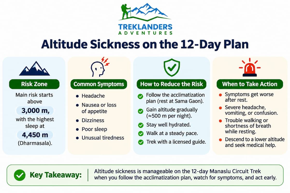
Altitude illness is the main medical risk on the Manaslu Circuit. It affects trekkers regardless of age or fitness. The schedule lowers the risk, and it does not remove it.
Acute mountain sickness (AMS) appears as a headache with at least one other symptom: nausea, dizziness, fatigue, or poor sleep. Mild AMS improves with rest at the same altitude. Do not climb higher until the symptoms clear.
Two severe forms require immediate descent:
Descent is the treatment for all three conditions. A drop of 300 to 500 m often brings relief. Medication such as acetazolamide is a decision for you and your doctor before the trip. The Treklanders packing list says to carry it only when a doctor advises.
Daily habits that help:
A resting pulse oximeter reading in the high 80s at Sama Gaon is common in healthy trekkers. Your guide looks at the trend across days and at how you look and feel, not at a single number. Health posts at Sama Gaon and Samdo offer limited services, and serious cases move to Kathmandu. That is why you need insurance that covers high-altitude trekking and emergency evacuation. You can meet the guides on the Treklanders team page and read about the company on the about page.
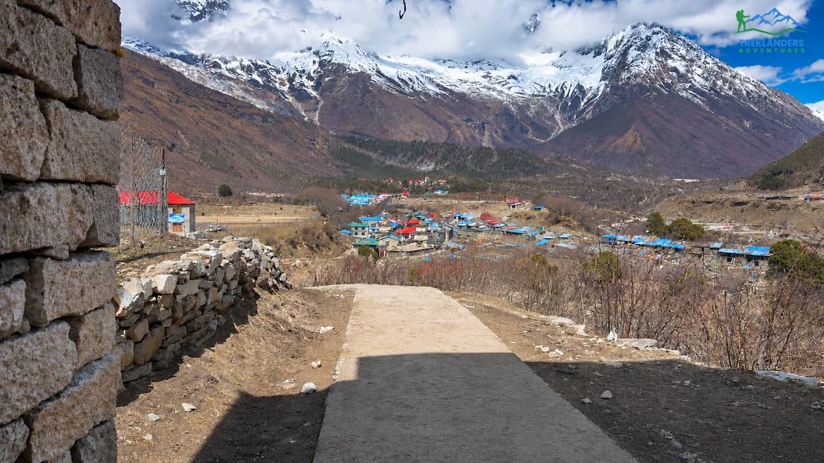
A tight schedule needs stable weather. Treklanders lists March to May and September to November as the best seasons for the Manaslu Circuit.
Spring runs from early March to May. Mornings are bright from about 6:30 am, afternoons can turn cloudy with light snow, and nights are cold above 3,000 m. Rhododendrons bloom at lower elevations. Autumn runs from September to November, with clear days and cold mornings, evenings, and nights. The air after the monsoon is clean, and mountain views are at their best. October and April bring the most trekkers, so lodges fill early.
Winter, from December to February, can close Larkya La under snow. The Manaslu in winter guide covers the conditions, and a 12-day plan has too little margin for that season. The monsoon, from June to August, brings slippery trails, leeches at low elevations, and landslides on the access roads, even though the high valley sits partly in a rain shadow.
For the 12-day plan, choose October or the April to May window, build in one spare day, and watch the forecast from Samdo onward. The best-time guide for the Khumbu region covers the same two seasons.
Altitude gets the attention, but several other risks affect a short itinerary.
The shorter plan suits a specific kind of trekker. Choose it if most of these statements describe you:
Choose a longer plan if any of these apply:
First-time Himalayan trekkers often start with a shorter route and return for Manaslu later. Good starting points include the Langtang Valley trek, the Ghorepani Poonhill trek, the 9-day Mardi Himal trek, and the 11-day Annapurna Base Camp trek. The quieter than Everest Base Camp guide explains why many trekkers then choose Manaslu as their next route.
Small decisions before and during the trek reduce risk more than any piece of gear.
Manaslu remains a restricted-area route. A registered trekking agency must arrange the permits, and a licensed guide must accompany trekkers. Since 2026, solo trekkers may be able to obtain the restricted-area permit without a second trekker, but the guide requirement remains. Confirm current rules with your operator before booking.
| Requirement | Needed? | Notes |
|---|---|---|
| Manaslu Restricted Area Permit | Yes | Issued through a registered agency |
| Manaslu Conservation Area Permit | Yes | Required for the conservation area |
| Annapurna Conservation Area Permit | Yes | Needed for the Dharapani exit side |
| Licensed guide | Yes | Mandatory for the restricted-area route |
| TIMS card | Usually no | Restricted Area Permit replaces it for this route |
| Insurance | Strongly recommended | Must cover high-altitude trekking and helicopter evacuation |
Checkpoints appear at Jagat, Philim, and Samagaon. Carry printed copies of your permits and your passport. To apply, you need a valid passport, a Nepal visa, passport photos, and your insurance details. The agency handles the paperwork once you send those documents. You can see how the Treklanders team works and read feedback from past groups on the reviews page. A look at the photo gallery gives a realistic picture of lodges, trails, and passes.
A licensed guide does more than meet the legal requirement. The guide sets the pace, reads altitude symptoms, handles lodging, and makes the call on the pass. Treklanders states that its guides hold government licenses and first-aid training. When you compare operators, ask for the guide's altitude training, the ratio of guides to trekkers, and the communication plan above Sama Gaon.
Treklanders recommends training six to eight weeks before departure. A shorter schedule leaves less room for recovery, so fitness matters more on a 12-day plan than on a 14-day plan.
A practical weekly routine:
Wear your trekking boots on the long hikes. Break them in before you arrive in Nepal. Practice walking downhill, because the final two days of this plan include 1,770 m of descent.
If you are already in Nepal, use the one-day hiking options. The Chisapani, Nagarkot, and Dhulikhel hiking route and the 4-day trekking adventure near Kathmandu offer more time on trails. The Pikey Peak trek reaches higher elevations and works as a warm-up for the Everest region, the Annapurna region, and the Langtang region. For a first high-altitude test, the Gosainkunda Lake trek and the Helambu trek climb into the same range as the upper Manaslu Valley.

The Treklanders packing list is long, and a few items matter most for a short plan with a high crossing.
You can rent sleeping bags, down jackets, poles, and packs in Kathmandu if you prefer not to buy them. Treklanders will help you with rental or purchase.
If the numbers above make you hesitate, you have several options on the same route.
If the Manaslu permit rules do not fit your group, look at other trekking in Nepal options:
If your time is short and you want to see the Himalaya from the air, the Everest mountain flight and the heli tours give you a close view in a single day. For more cultural time in Kathmandu before or after your trek, try the seven UNESCO heritage sites tour or the Namobuddha day tour. Browse all tours in Nepal and the Nepal destination page for more ideas.
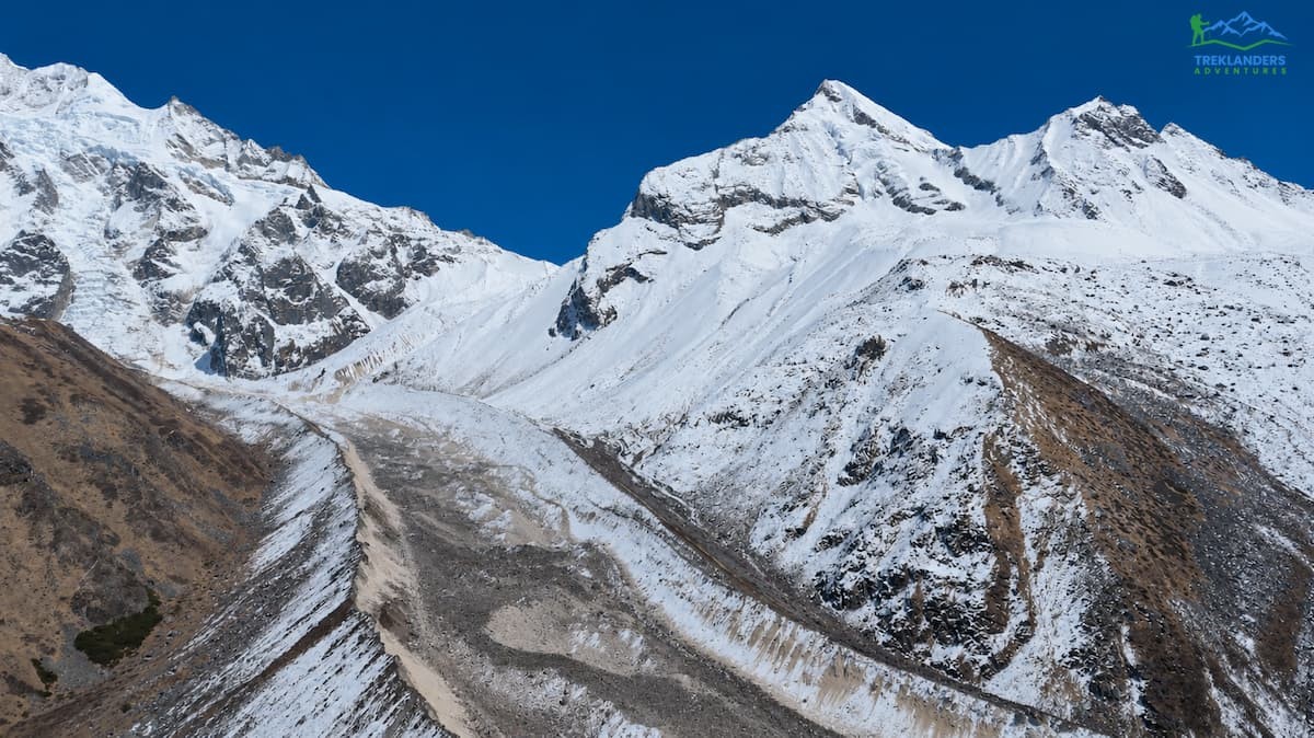
The 12-day Manaslu Circuit Trek is a reasonable plan when it keeps the rest day at Sama Gaon, stages the nights at Samdo and Dharmasala, and compresses only the descent. It is a poor plan when it removes acclimatization nights, skips Dharmasala, or leaves no day for weather.
Whichever plan you choose, ask your operator for the sleeping altitudes, the rest-day location, the pass-day timing, the guide's training, and the delay policy. Operators who answer in detail run safer trips. You can compare plans on the Manaslu region page, join an existing group departure, or build a custom schedule with the trip planner. The 13-day trip planner lets you adjust the route directly. For questions about permits, dates, or fitness, use the contact page or read more on the Treklanders blog before you decide.
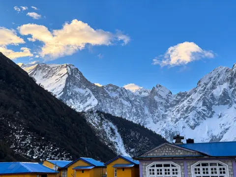
Discover why the Manaslu Circuit Trek offers a quieter, less crowded Himalayan adventure than Everest Base Camp.
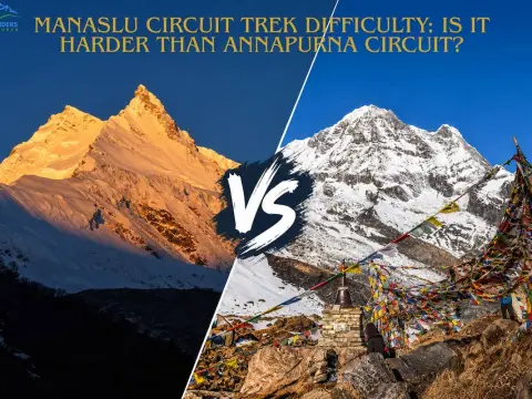
Discover whether the Manaslu Circuit Trek is harder than the Annapurna Circuit, comparing altitude, terrain, walking hours, and overall difficulty.
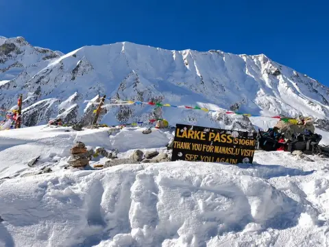
Can you cross Larkya La Pass in winter? Explore Manaslu Circuit Trek weather, snow conditions, safety tips, and essential winter trekking gear.



