
Is the Manaslu Trek Closed? Critical Flash Flood and Route Updates
8 Sep 2026
Get the latest Manaslu Circuit Trek closure updates, trail conditions, reopening status, and alternative treks after the September 2026 flood.

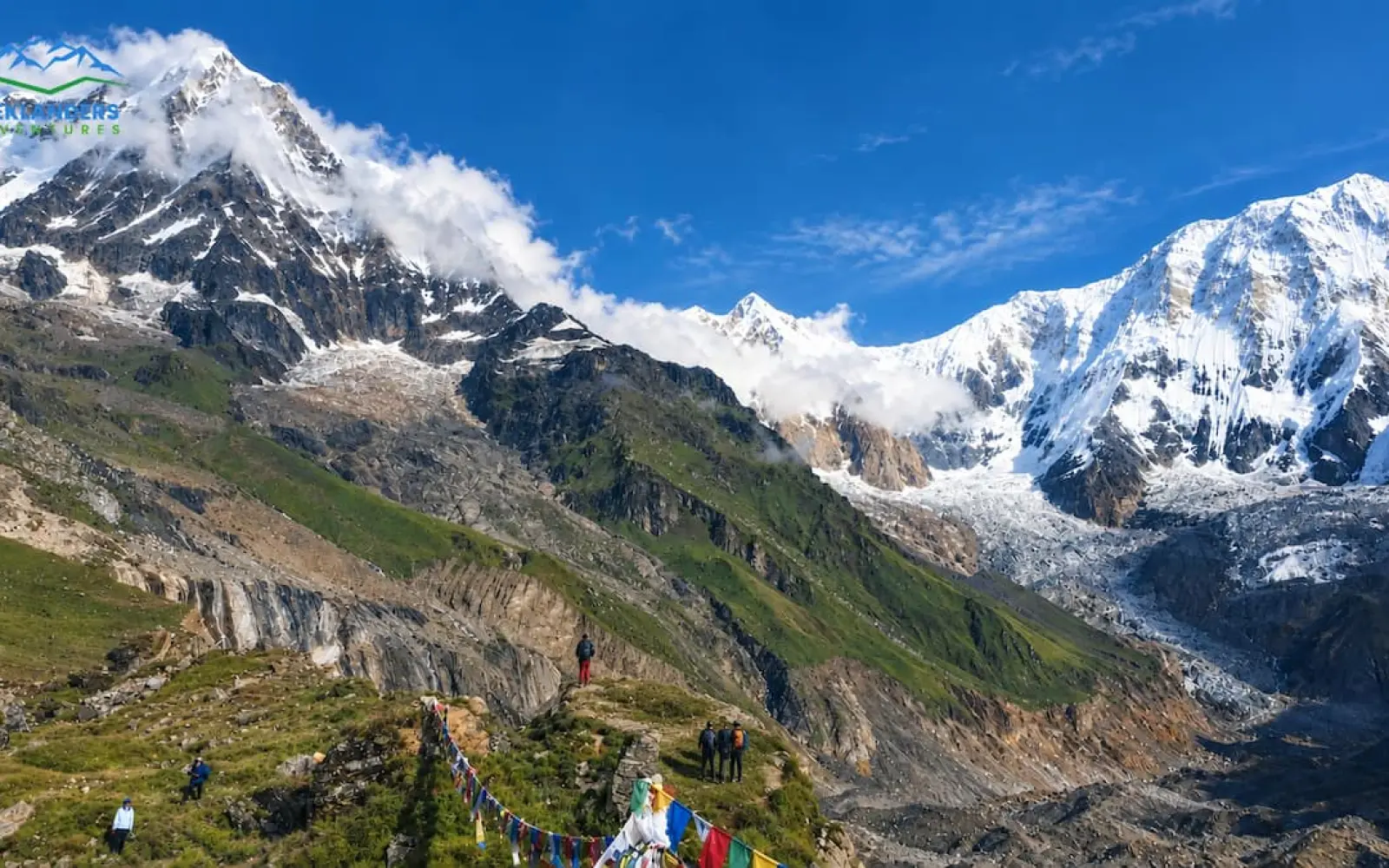
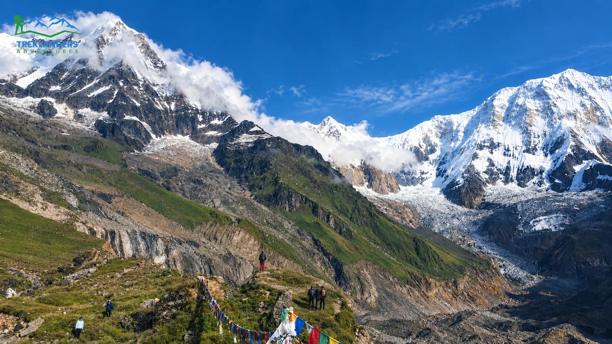
Annapurna Base Camp sits at 4,130 meters, ringed by Annapurna I, Annapurna South, Gangapurna, and the sharp fishtail summit of Machhapuchhre. You do not view this amphitheater from a distant ridge the way you do on many other treks in Nepal. You walk directly into it, and the peaks close in around you on every side. If you are planning a 2027 trip to the Annapurna region, here is what the route, the seasons, and the daily rhythm of the trail actually look like.
Annapurna I stands at 8,091 meters, the tenth-highest mountain on earth. A French team reached its summit in 1950, three years before Tenzing Norgay and Edmund Hillary stood on Everest. That climb was the first successful ascent of any peak above 8,000 meters in history. Standing at its base, watching more than 4,000 vertical meters of rock and ice rise straight above you, gives you a sense of scale that photographs never quite capture.
The trek sits inside the Annapurna Conservation Area, the largest protected area in Nepal. Thousands of people farm and run lodges within its boundaries, so you are not walking through empty wilderness. You pass through working villages with terraced fields, grazing livestock, and mountain scenery all sharing the same ground. That mix of scenery and daily village life is part of what sets this route apart from a pure wilderness trek.
For trekkers planning ahead for 2027, Annapurna Base Camp remains one of the most accessible ways to reach a genuine high-altitude Himalayan destination without needing three or four weeks off work. You can complete it in as little as a week from Pokhara, or extend it to ten to twelve days if you want a slower pace with rest days and side trips built in.
The standard approach starts in Pokhara and follows the Modi River upstream to its glacial source at the Annapurna Sanctuary. A shorter itinerary runs through Jhinu Danda, Chhomrong, Bamboo, Dovan, Machhapuchhre Base Camp, and finally Annapurna Base Camp, before retracing the same route back down. An alternative approach through Ghandruk adds a Gurung village stop early in the trek and a slightly longer walk on the first day, though it rejoins the main trail at Chhomrong.
Road access has changed the shape of this trek over the years. Before roads reached Jhinu Danda, most trekkers started walking from Nayapul, adding an extra day or two of lower-altitude trekking before the climb properly began. The Annapurna Conservation Area Permit checkpoint still sits at Birethanti, so vehicles stop there for permit checks before continuing up to Jhinu. That shift in road access is the main reason shorter itineraries exist now. What used to take ten or eleven days from Nayapul can now be compressed into six or seven days from Jhinu Danda, without missing the Sanctuary itself.
Whichever starting point you choose, the destination and the core walking days look the same. You gain roughly 2,500 meters of net elevation between Jhinu Danda and Annapurna Base Camp, spread across four days of climbing, then descend the same distance over two or three days on the way back.
If you have extra days available in 2027, a few extensions turn this trek into a longer, richer trip without changing the core destination. Starting through Ghandruk instead of Jhinu Danda adds a full day of walking through one of the largest Gurung settlements in the region, with stone-paved streets, traditional slate-roof houses, and views of Annapurna South and Machhapuchhre from the village itself. The Ghandruk route rejoins the main trail at Chhomrong, so you still follow the same path through Bamboo, Dovan, and Machhapuchhre Base Camp to reach the Sanctuary.
Combining Annapurna Base Camp with a Ghorepani Poon Hill side trip is another common option. This route joins the main Annapurna Base Camp trail at Chhomrong as well, adding a sunrise viewpoint hike at Poon Hill before you continue up toward the Sanctuary. Poon Hill offers one of the widest mountain panoramas in the region, taking in Dhaulagiri, Annapurna South, and Machhapuchhre in a single sweep, and it works well as a warm-up for the altitude gain that follows on the main trek.
Trekkers who have already completed a longer Annapurna itinerary sometimes choose the shorter Jhinu-to-Jhinu route specifically to revisit the Sanctuary without repeating the full circuit. If you already have trekking experience elsewhere in Nepal but limited time this trip, this is a practical way back without spending ten or twelve days doing it again.
None of these extensions change the physical demands of the final push toward Annapurna Base Camp. The climb between Dovan and the Sanctuary stays just as steep regardless of approach, so plan your training the same way whether you add a day at Ghandruk or Poon Hill or stick with the direct route from Jhinu Danda.
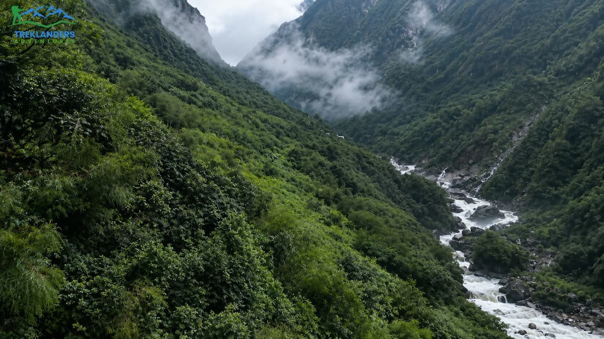
Few short treks in Nepal pack in as much climate variation per kilometer as this one. You start in subtropical farmland around 1,000 to 1,200 meters, pass through temperate hill villages, climb into rhododendron and pine forest, and finish in an alpine zone above 4,000 meters. All of that happens within four days of walking.
Below 1,800 meters, you walk through terraced farmland with banana and citrus trees still visible near Jhinu. Between 1,800 and 2,800 meters, broadleaf and rhododendron forest takes over, thickest around Sinuwa and Bamboo. Rhododendrons bloom here in spring, turning entire hillsides shades of white, pink, and deep red depending on elevation and species. Above 3,000 meters, the forest thins into dwarf rhododendron and juniper scrub, then gives way to bare rock and alpine grass as you approach Machhapuchhre Base Camp and the Sanctuary itself.
The trail crosses several suspension bridges over the Modi River and its tributaries, including a long one near Jhinu that marks the start of the climb toward Chhomrong. A natural hot spring sits on the riverbank at Jhinu, roughly a thirty to forty minute walk from the village lodges. Most trekkers save this for the return trip, when six days of walking make a hot soak worth the short detour.
Chhomrong is the last permanent village before the trail enters the Sanctuary. Past this point, the villages become smaller and simpler, built specifically to house trekkers rather than serve as year-round settlements.
Your first day of trekking usually starts with a drive from Pokhara toward Jhinu village at 1,700 meters, following the Pokhara-Baglung highway before turning off toward the Modi River valley. From the trailhead, you cross a long suspension bridge into Jhinu, then climb a ridge before descending slightly into Chhomrong at 2,170 meters. Chhomrong is a Gurung village with the best facilities you will find anywhere on this route, some lodges even have attached bathrooms, and it marks your last night in a full-sized permanent settlement.
Leaving Chhomrong, the trail drops down to a river crossing, then climbs a set of stone steps for close to an hour up to Sinuwa Danda. From there, you enter dense rhododendron and pine forest, descending briefly to the small settlement of Bamboo on the Modi River gorge before a slow afternoon climb through forest shade to Dovan, sitting at 2,505 meters above the river.
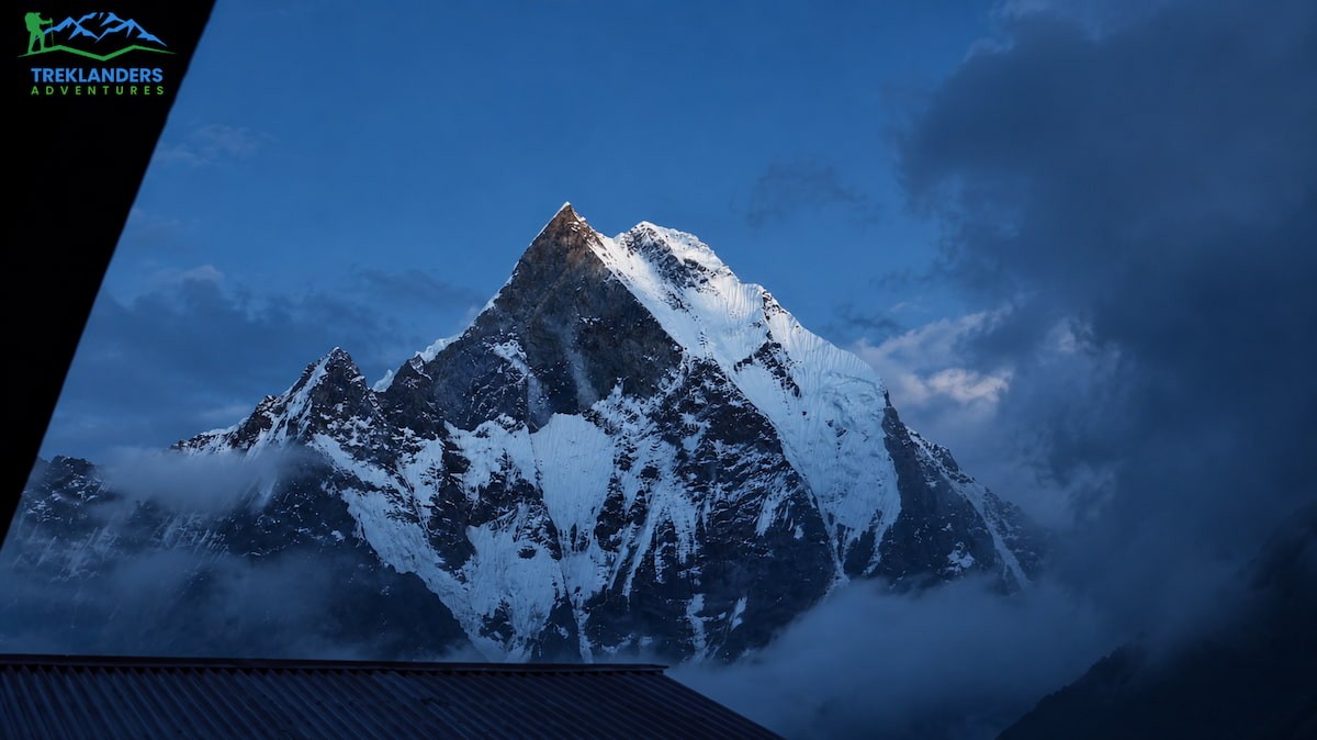
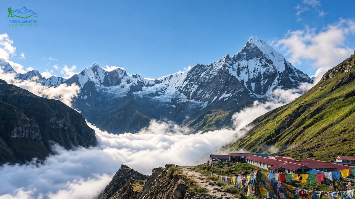
The third day is the longest stretch of climbing on the route. From Dovan, the trail winds through dense forest to Hinko Cave, a large overhang used as a rest stop, then continues past Himalaya Hotel, a small settlement facing Annapurna South and Hiunchuli. A short descent to the river is followed by a climb to Deurali, a good lunch stop with several lodges, before the trail narrows through bamboo stands and climbs steeply for the final hour into Machhapuchhre Base Camp at 3,700 meters. MBC sits on an open ridge directly beneath the Fishtail peak, with unobstructed views of Annapurna I, Annapurna South, and Hiunchuli from the lodge windows.
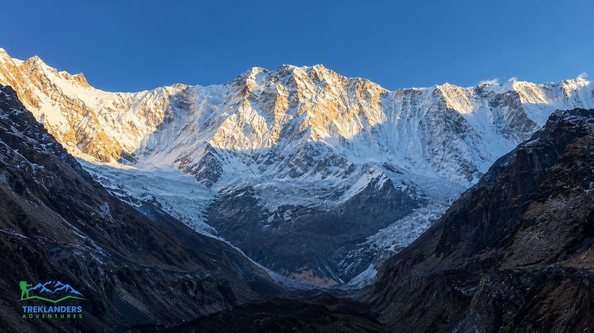
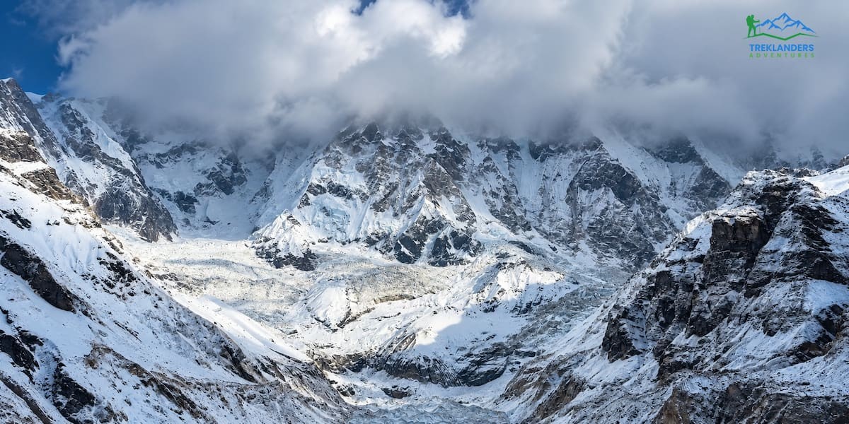
The push to Annapurna Base Camp itself is short, usually under three hours, but it is the most anticipated stretch of the whole trek. The trail climbs onto the plateau of the Sanctuary, surrounded by a natural amphitheater of snow peaks, before arriving at the base camp lodges at 4,130 meters in time for lunch. The afternoon is yours to explore the immediate area, with views in every direction: Annapurna I to the north, Annapurna South and Hiunchuli to the southwest, and Machhapuchhre rising directly above. Many trekkers set an early alarm the next morning to watch sunrise light hit Annapurna I from directly below the summit.
The descent covers the same ground in reverse but moves faster, since going downhill uses less energy and your body has already adjusted to the altitude. From Annapurna Base Camp, most itineraries drop back down to Bamboo or Dovan in a single long day, retracing the trail past MBC and Deurali. From there, a further descent through Sinuwa and a river crossing brings you back to Chhomrong for a lunch stop, then on to Jhinu Danda for your final night on the trail, where the hot spring waits at the bottom of a short walk from the lodges. The last day is a short walk back across the suspension bridge to the roadhead, followed by a drive back through Nayapul and Birethanti to Pokhara.
Spring and autumn remain the two reliable windows for this trek, and that will not change in 2027. Spring runs from early March through May. Mornings are typically clear, with clouds building through the afternoon and occasionally bringing brief snow at higher elevations. Rhododendron forests bloom during this stretch, adding color to the middle sections of the trail that you will not see at other times of year.
Autumn runs from September through November and tends to bring the most stable weather of the year. Skies stay clear for longer stretches, and mountain visibility is generally at its best. Nights get colder as the season progresses, and the chance of snow at altitude increases toward late November.
Both seasons sit between Nepal's monsoon and its coldest winter months. Monsoon runs roughly June through August, bringing daily rain, leeches on the lower trail sections, and clouds that block most mountain views. Winter, December through February, offers clear skies and a much quieter trail, but nights at Annapurna Base Camp regularly drop below freezing, and heavy snow can close the final approach altogether.
During spring and autumn, daytime temperatures in the lower villages like Jhinu and Chhomrong typically sit between 15 and 20 degrees Celsius. At Machhapuchhre Base Camp and Annapurna Base Camp, nighttime lows can fall to around minus 5 degrees Celsius. Sunrise and sunset both fall close to 6 am and 6 pm during these seasons, giving you a full day of daylight to walk without rushing.
If your schedule allows some flexibility for 2027, aim for late September through mid-November, or March through early May. These windows consistently deliver the best combination of trail conditions, mountain visibility, and manageable temperatures for a route that puts you above 3,500 meters for two consecutive nights.
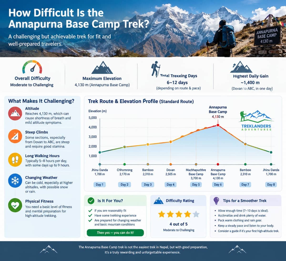
This trek sits in the moderate to adventurous range. The difficulty comes from altitude and the number of hours you walk each day, not from any technical climbing. You will not need ropes, crampons, or mountaineering experience anywhere on this route. What you do need is the stamina to walk six to seven hours a day for four consecutive days, including one day with a genuinely steep climb.
The hardest stretch falls on the days between Dovan and Annapurna Base Camp, where you gain more than 1,400 meters over roughly nine hours of walking. Most of that climb happens on a steady uphill gradient, with a few short, steep sections around Hinko Cave and the final approach into the Sanctuary. The descent covers similar distance but puts more strain on your knees than your lungs.
Trekking poles make a real difference on the way down. Hours of stepping down stone stairs put repeated pressure on your knees and ankles, and poles shift some of that load into your arms and shoulders. If you have had knee problems before, build some downhill practice into your training, not just uphill work.
Give yourself at least a month of preparation if you already exercise regularly, and longer if you are starting from a lower baseline. Build cardio through hill walks, stair climbing, or a stationary bike three to four times a week. Add a weekend hike with a loaded daypack so your legs and shoulders adjust to carrying weight for several hours at a stretch, and include some direct strength work for your quads and calves.
A simple weekly plan works well for most people heading into this trek: two cardio sessions of 30 to 45 minutes, one strength session for legs and core, one longer hike of two to three hours with a loaded pack on the weekend, and at least one full rest day. Four to six weeks of that pattern should give you enough base fitness to keep walking steadily without your legs giving out by day three.
This route covers less total distance and lower maximum altitude than Everest Base Camp, but it compresses a similar amount of elevation gain into far fewer days. Everest Base Camp itineraries typically spread their climbing across ten to fourteen days. This route gains nearly 2,500 meters in four. That difference makes daily endurance more important here than altitude tolerance on its own, since you are covering longer hours with less recovery time between climbing days.
Pace matters more than raw fitness on this trek. Guides deliberately slow the group down on the climbs past Dovan, because moving too quickly at altitude causes more problems than a slower, steadier pace ever will. Arrive reasonably fit and willing to follow your guide's pace, and you should get through this trek without major issues.
Guides and porters make a real difference on this route, even for experienced trekkers. A licensed guide reads trail conditions, sets a pace suited to altitude, and handles permit checks at Birethanti and along the way so you are not stopping to sort paperwork mid-walk. Porters carry the bulk of your load above what fits in a daypack, which matters more on this trek than it might seem, since the steep sections between Dovan and Annapurna Base Camp are hard enough without a full pack on your back. Group sizes on this route range from solo trekkers to parties of thirty, and guides adjust pace and rest stops to fit whoever is walking that week, whether that means a single traveler moving at their own speed or a larger group with a mix of fitness levels.
The standard ten to twelve day version of this trek usually includes a rest day at Chhomrong or Sinuwa. Shorter itineraries skip that rest day entirely, which means you gain altitude faster: from 1,700 meters at Jhinu to 4,130 meters at Annapurna Base Camp in four days, including two consecutive nights above 3,500 meters.
That pace is manageable, but it leaves less room for error. The route is still structured to ascend in reasonable stages, with overnight stops at Chhomrong, Dovan, and Machhapuchhre Base Camp before the final push to Annapurna Base Camp. Each stop gives your body one night to adjust before the next gain in elevation. Even so, you are moving through the altitude range where acute mountain sickness becomes more likely, generally above 2,500 to 3,000 meters, without a dedicated buffer day.
Above 3,000 meters, a general guideline suggests keeping your net sleeping elevation gain to 300 to 500 meters per day, since sleeping lower after spending daytime hours higher helps your body adjust faster than sleeping at a new altitude every single night. This route follows that pattern loosely between Dovan and Machhapuchhre Base Camp, but the final climb from MBC to Annapurna Base Camp gains over 400 meters in a single morning, right at the upper edge of what is generally considered safe without an extra buffer day built in.
Watch for headaches, nausea, loss of appetite, and unusual fatigue once you pass Dovan. These symptoms are common at this altitude and usually mild on their own. They become a real concern if they worsen instead of improving, or if you develop confusion, shortness of breath at rest, or a loss of coordination. Tell your guide immediately if any of these appear. The standard response is straightforward: stop climbing, rest, drink water, and descend if things do not improve within a day.
Once you pass 2,500 meters, aim to drink three to four liters of water daily. Keep eating even if your appetite drops, since your body needs more fuel at altitude than it does at sea level. Skip alcohol and sleeping pills during the nights you spend above 2,000 meters, since both interfere with your breathing reflex during sleep. If you have had altitude sickness before, or you have any existing heart or lung condition, talk to a doctor before booking this shorter version. A longer itinerary with a built-in rest day gives your body more room to adjust safely.
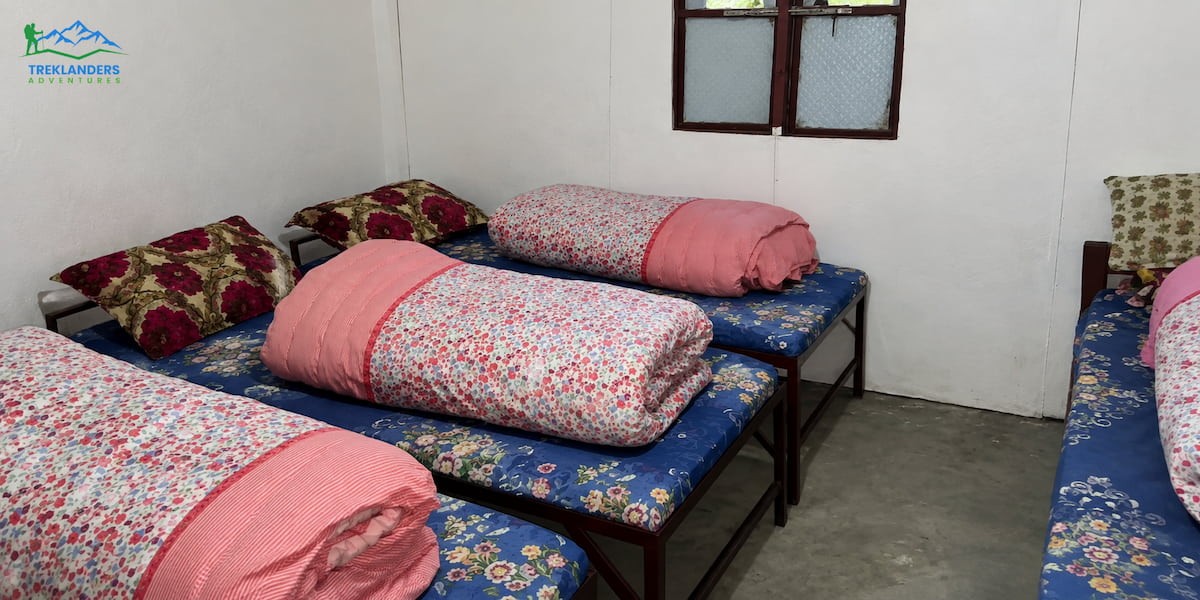
You stay in tea house lodges every night on this route, though the quality shifts noticeably as you gain altitude. Chhomrong offers the best facilities on the trail: some rooms come with attached bathrooms, a few lodges run small bakeries, and the food menu is more varied than what you will find higher up. Past Chhomrong, rooms get simpler and bathrooms are shared, built for trekkers passing through rather than long-term residents.
Hot showers are usually available at most stops, but past Chhomrong they typically cost extra, since pipes freeze overnight and water has to be heated separately at altitude. Dining rooms double as the social center of each lodge, usually built around a wood stove or fireplace where you eat, talk with other trekkers, and warm up after a cold day outside.
Rooms are typically shared between two people, with simple beds, a basic mattress, and a blanket. Insulation gets thinner as you climb, so the warm layers you packed for the trail also earn their keep inside the lodge at night. Most dining rooms offer device charging, usually powered by solar or small hydro systems, though some lodges from Dovan onward charge a small fee per device.
Food on this trek is more varied than most people expect. Breakfasts typically include porridge, eggs, pancakes, and bread with jam or honey, alongside tea, coffee, and hot chocolate. Lunch and dinner menus mix Nepali, Indian, Chinese, and Tibetan dishes with simpler continental options like pasta or fried rice. Dal bhat, the Nepali staple of lentils, rice, and vegetable curry, appears on every menu and usually comes with a free second helping, which makes it a solid choice before a long walking day. Wi-Fi is common but inconsistent, with speed and reliability shifting based on weather and how many people are using it at once. If you are trekking as a group of three or more, ordering the same dish speeds up kitchen service and reduces the fuel burned cooking several separate meals, which matters in a region where firewood and gas supplies are limited.
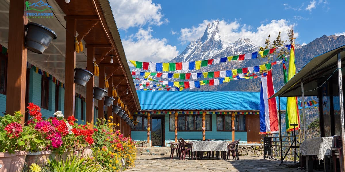
The southern Annapurna hills are home to the Gurung people, one of Nepal's well-known mountain communities and historically a major source of soldiers for Gurkha regiments in the British and Indian armies. This trek passes several Gurung settlements, with Chhomrong standing out as the largest and the last permanent village before the trail enters the Sanctuary.
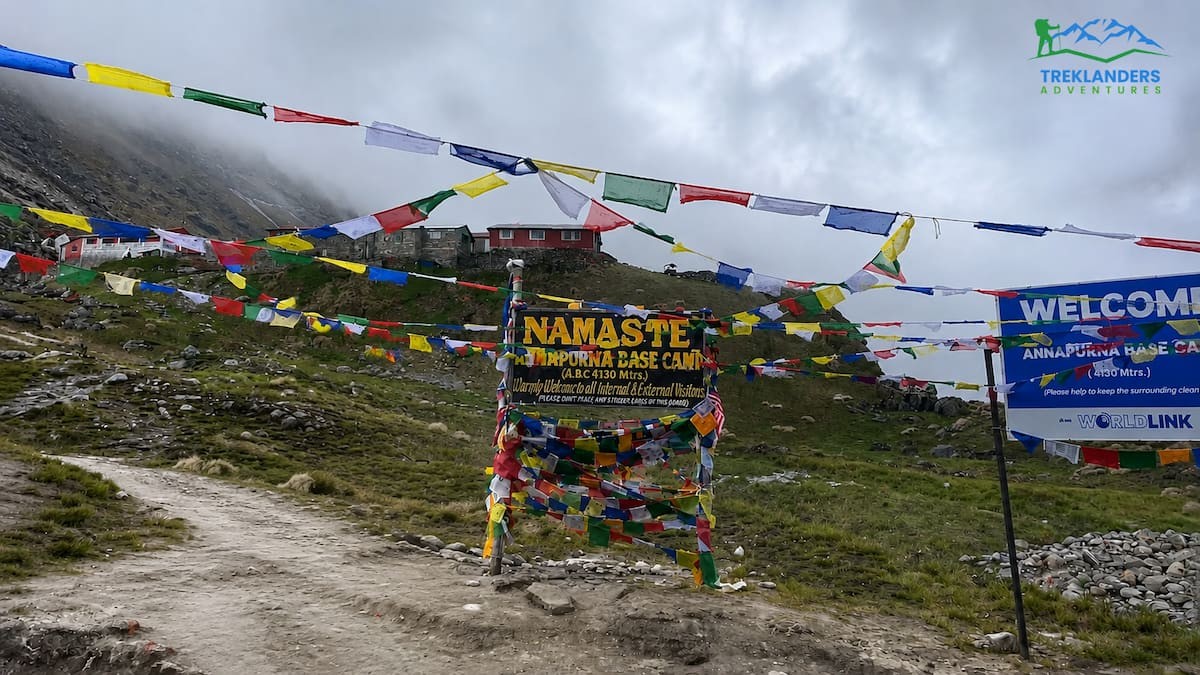
Gurung communities here practice a mix of Tibetan Buddhism and the older Bon tradition that predates it, alongside elements of shamanism that remain part of daily village life. You will notice this most clearly in the prayer flags strung across nearly every house and lodge, lines of blue, white, red, green, and yellow representing sky, air, fire, water, and earth respectively.
Village life along the trail still runs on a mix of farming and tourism. You will see terraced fields cut into the hillsides below Chhomrong, livestock grazing near the path, and lodge owners often running the same property their parents or grandparents built decades earlier. Many guides and lodge staff along this route are Gurung themselves, which gives you a direct way to ask questions about local culture rather than relying on general guidebook summaries. Retirement income from Gurkha service helped build some of the nicer guesthouses you will pass, alongside more recent income from trekking tourism, and that mix of history and present-day economy shapes much of what you see along the trail.
A few points of basic etiquette go a long way here. Remove your shoes before entering a prayer room or temple. Ask before photographing people you meet along the trail. Walk past religious structures like mani walls and chortens keeping them on your left, following the traditional clockwise direction. None of this requires special preparation, just attention once you are on the trail.
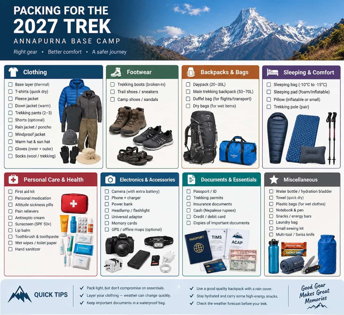
Since you start in subtropical conditions and end with freezing nights at Annapurna Base Camp, layering is the single most important part of your packing list. Bring two to three moisture-wicking base layers, a fleece or light insulated mid-layer, and a waterproof shell for both your top and bottom.
A down jacket rated for cold conditions is worth the pack space, given you will spend two nights sleeping above 3,500 meters. Footwear matters just as much: bring waterproof trekking boots that are already broken in and offer solid ankle support. Do not test new boots on this trail for the first time. Pack two to three pairs of trekking socks plus one thick pair for the cold nights at Machhapuchhre Base Camp and Annapurna Base Camp, along with a light pair of camp shoes to change into each evening.
For accessories, bring trekking poles, a daypack in the 30 to 35 liter range, a headlamp with spare batteries, a reusable water bottle or hydration bladder, and a warm hat or buff for wind protection above the tree line. Sunglasses rated for high-altitude UV exposure are essential. At 4,000 meters, sunlight reflecting off snow can cause snow blindness within a few hours if your eye protection is not up to the job.
For electronics, carry a power bank in the 10,000 to 20,000 mAh range, since charging opportunities become limited and often come with a fee past Chhomrong. Bring your charging cables and a plug adapter, and keep your phone or camera in an inner jacket pocket overnight rather than in your pack, since cold temperatures drain batteries faster and unheated rooms can damage device screens.
Keep toiletries minimal: travel-size biodegradable soap and shampoo, a quick-dry towel, wet wipes, hand sanitizer, SPF 50 or higher sunscreen, and a lip balm with SPF, since sun exposure at altitude is more intense than it feels. Toilet paper is not guaranteed at every lodge, so bring your own supply.
Pack a basic health kit with blister treatment, pain relievers, water purification tablets or a filter, and any prescription medication you take regularly, kept in its original packaging. Only bring Diamox for altitude sickness if a doctor has approved it for you, and treat it as a backup, not a substitute for proper acclimatization. Keep your travel documents, trekking permits, and proof of travel insurance in a waterproof pouch you can access quickly at checkpoints.
The entire route sits inside the Annapurna Conservation Area, so you need an Annapurna Conservation Area Permit before you start. This permit funds conservation work and community projects in the region and gets checked at entry points along the trail, including the checkpoint near Birethanti. Treklanders Adventures arranges this permit as part of your trek package, along with any other required government paperwork.
Revenue from this permit supports forest conservation, trail maintenance, and community development projects inside the conservation area, including drinking water systems and educational support for villages along the route. Your permit gets checked first at Birethanti and again at a secondary checkpoint further along the trail, so keep it somewhere accessible rather than buried in your main duffel bag.
The Trekkers' Information Management System permit, once required for nearly every trekking route in Nepal including this one, has since been discontinued. You no longer need to apply for it. What you do need is a valid passport with enough remaining validity for your full trip, along with a Nepal visa, which most travelers obtain on arrival at Tribhuvan International Airport. The on-arrival process requires a passport photo, a completed application form, and a payment at the airport kiosk before you go through immigration. Processing generally takes 20 to 30 minutes depending on arrival timing and how many other passengers are in line, so build some buffer time into your onward travel plans if you are catching an immediate flight or bus to Pokhara.
Travel insurance deserves the same attention as your permits, arguably more. Helicopter rescue above 3,500 meters is a routine response to serious altitude sickness, and those costs are not covered unless your policy specifically includes them. Confirm your insurance covers trekking up to at least 4,500 meters and includes emergency evacuation, not just standard travel medical care, before you leave home.
Mornings on this trek start early. Breakfast is usually served between 6:30 and 7:00 am, since the trail is easier to walk before afternoon clouds roll in and morning light gives you the best early views. Your guide checks route conditions and the day's destination with you before you set out, and most groups start walking within 30 to 45 minutes of finishing breakfast.
The walking pace stays steady and unhurried, especially on the climbing days above Dovan, where your guide deliberately slows the group to help everyone adjust to the altitude gain. Short breaks for water and rest come more frequently as the air thins, and a longer lunch stop, usually at a lodge or teahouse along the way, happens somewhere between four and six hours into the day's walk.
The trail itself changes character as you climb. Below Chhomrong, you walk on stone steps and dirt paths through farmland and forest, crossing suspension bridges over the Modi River at regular intervals. Above Dovan, the path narrows and the terrain turns rockier, with sections that call for careful footing rather than any technical skill. Porters move along the same trail at their own pace, often carrying loads ahead of or behind your group, and you will pass other trekking parties heading in both directions throughout the day.
The descent from Annapurna Base Camp covers the same ground but moves faster, since going downhill burns less energy and your body has already adjusted to the thinner air. The return days often cover more ground than the climbing days did, retracing the route back through Dovan and Bamboo toward Jhinu, where the hot spring waits at the end of the final descent.
Evenings settle into a consistent rhythm that becomes part of the trek itself. After dinner, your guide walks the group through the next day's distance, elevation change, and any conditions worth expecting, whether that is a steep climb, a long descent, or a river crossing. This is also when you tend to meet other trekking groups staying at the same lodge, since most itineraries converge on the same handful of overnight stops, and conversation over dal bhat often turns into informal trail reports from people coming the other way.
Most days end with arrival at the next lodge between 2:00 and 4:00 pm, leaving time to rest, wash up, and look around before dinner. A warm dining room, a hot meal, conversation with your guide and fellow trekkers, and an early night follow, since most lodges quiet down by 9:00 pm and the next day starts the same way the last one did. By the time you reach Annapurna Base Camp, that rhythm feels familiar, which is part of why the final arrival at the Sanctuary carries more weight than it would on a trek where every day looked completely different.
If you are mapping out a 2027 trekking season in Nepal, Annapurna Base Camp remains one of the most direct ways to reach a genuine high-altitude Himalayan destination without committing several weeks to the trip. Book your preferred season early, since spring and autumn slots at the better-located lodges fill up during peak weeks in April and October. Start your physical preparation at least a month out, longer if you are coming from a lower fitness baseline, and confirm your travel insurance covers high-altitude evacuation before you commit to dates.
Whether you choose the shorter route through Jhinu Danda or a longer itinerary with a built-in rest day, the destination stays the same: a plateau ringed by some of the highest peaks on earth, reached on foot, one valley and one ridge at a time.
Talk to a guide about your fitness level, your available days, and your preferred season before locking in dates, since small adjustments to pace or route can make a real difference in comfort without changing what you see at the top. The Sanctuary rewards patience going up and steady footing coming down, and 2027 gives you a fresh window to plan around either the spring bloom or the clear autumn skies.
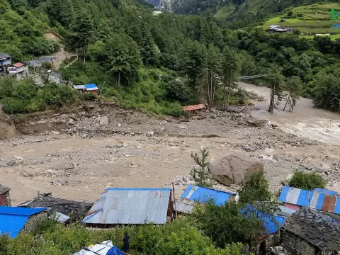
Get the latest Manaslu Circuit Trek closure updates, trail conditions, reopening status, and alternative treks after the September 2026 flood.
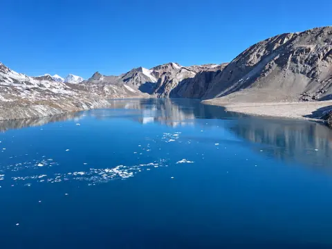
Discover the Tilicho Lake Base Camp Trek in Nepal, featuring stunning Himalayan scenery, remote Manang trails, and the iconic Thorong La Pass.
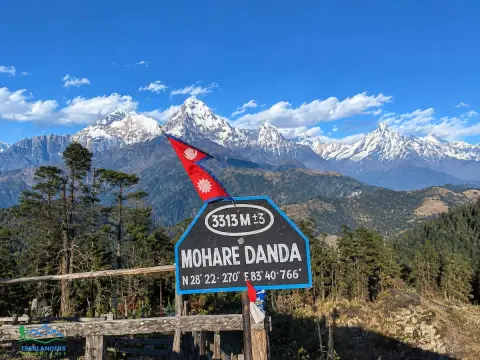
Explore Mohare Danda; peaceful trails, stunning Himalayan views, and authentic Magar culture in the Annapurna region.



