
Tsum Valley Trek: A Complete Guide to Nepal's Hidden Buddhist Valley
6 Sep 2026
Explore Tsum Valley’s ancient monasteries, remote villages, Tibetan culture, and breathtaking Himalayan landscapes.

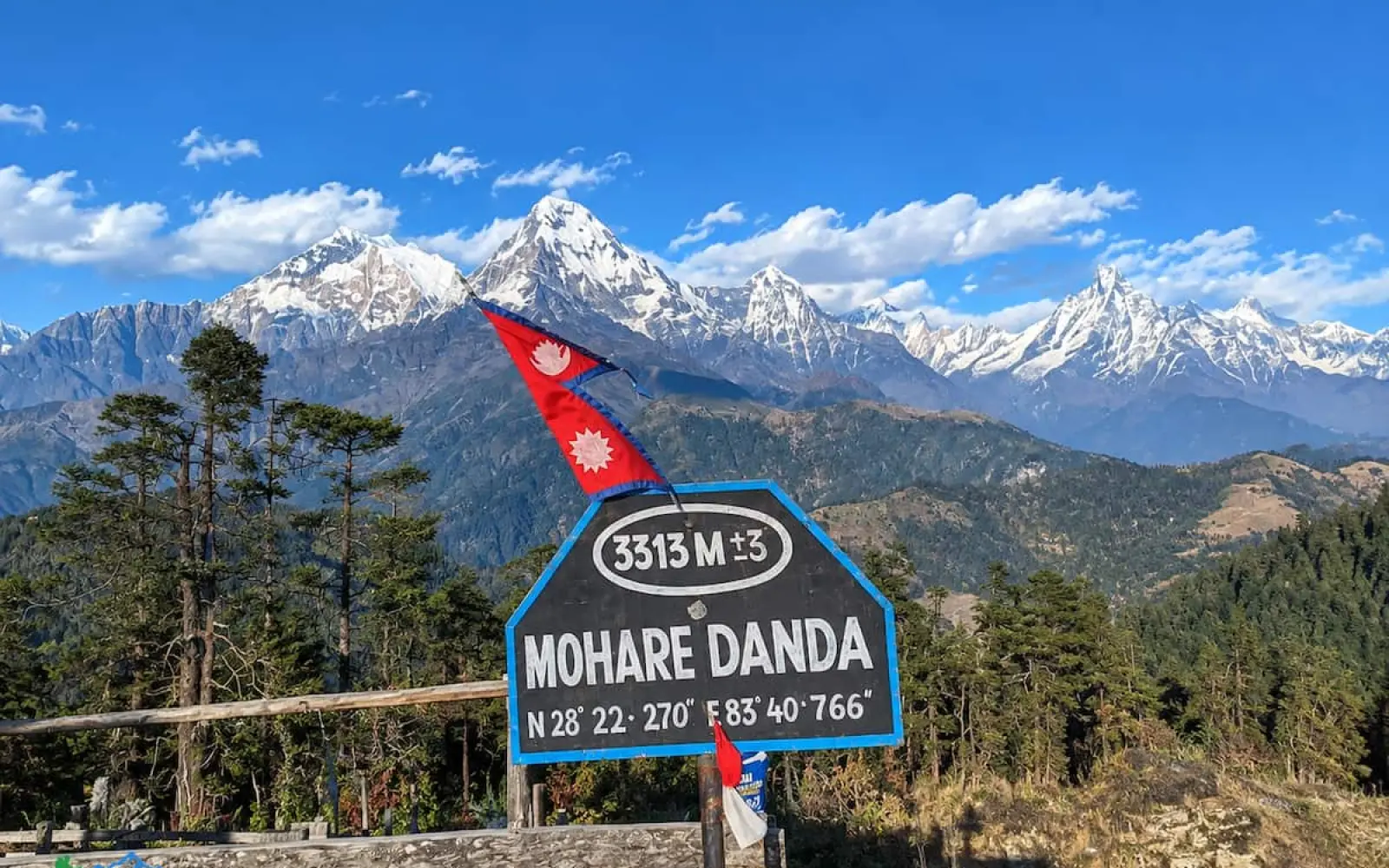
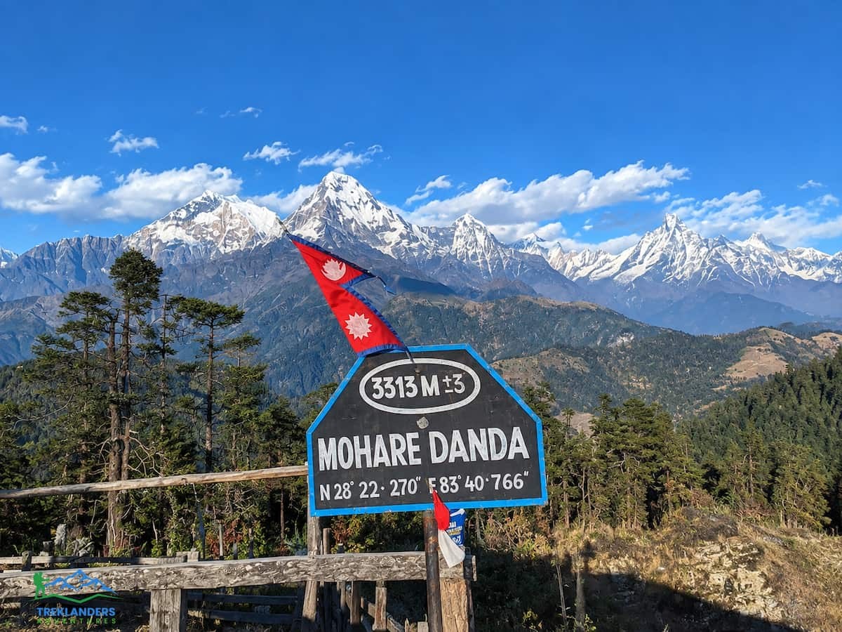
Mohare Danda sits on a ridge between the Annapurna and Dhaulagiri ranges, at 3,313 meters, and it stays quiet even during peak trekking months. Most trekkers heading into the Annapurna region funnel toward Ghorepani and Poon Hill, a trail that gets crowded by October. Mohare Danda runs a few valleys west of that route, through the same mountain views, without the same foot traffic.
This guide breaks down the route step by step, lists the exact permits you need, and lays out the distances and altitude changes for every stage of the trek. If you're deciding whether Mohare Danda fits your trip, this covers what you'll actually walk through, how the days stack up, and what paperwork gets you onto the trail legally.
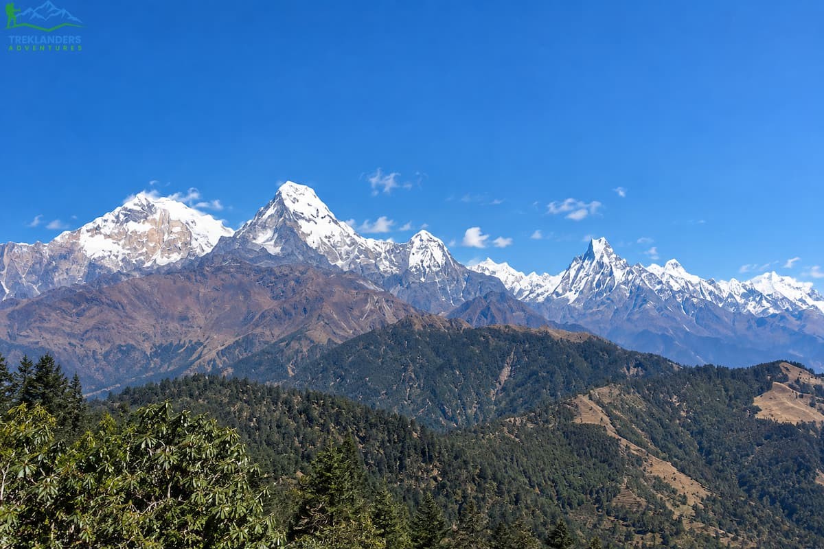
Poon Hill and Mohare Danda sit close enough on the map that guidebooks often mention them in the same paragraph. The mountain views are comparable. Both look out over Dhaulagiri, Annapurna South, Nilgiri, and Machhapuchhre. The difference is what happens around you while you're taking in that view.
Poon Hill draws large numbers of trekkers to a single viewpoint before sunrise, and lodges along that trail fill up fast in high season. Mohare Danda gets a fraction of that traffic. The lodges you'll stay in in Bhaisekharka, Nangi, Khibang, and Tikot are run by Magar families as home-stay style tea houses, and you'll often have the dining room mostly to yourself.
The trail itself has a different character too. Poon Hill sees a lot of two-way traffic, day-trippers included. Mohare Danda's approach through Galeshwor and up into the rhododendron and oak forest around Nangi feels more like walking into a working village than into a trekking corridor. You pass working farms, an organic vegetable garden in Nangi that's used for local education projects, and small shrines that mark the blend of Hindu and Buddhist practice common to the Magar hill communities.
Poon Hill is shorter and needs less driving to reach. But if you want a trail without heavy crowds, Mohare Danda solves that problem directly.
Mohare Danda is a ridge, not a village, and it belongs to the southern edge of the Annapurna Conservation Area in Myagdi district. The route to reach it starts from Pokhara, runs west through Baglung and Beni, and then turns north off the main highway into the hills above the Kali Gandaki River.
The full route reads: Kathmandu, Pokhara, Galeshwor village, Bhaisekharka, Nangi, Mohare Danda, Khibang, Tikot, Tiplyang, back to Pokhara, and on to Kathmandu. That's the loop most trekking companies, including Treklanders, run. You start and end in Pokhara, with a different village on the way out than the one you exit through, so you see two separate valleys rather than retracing the same path twice.
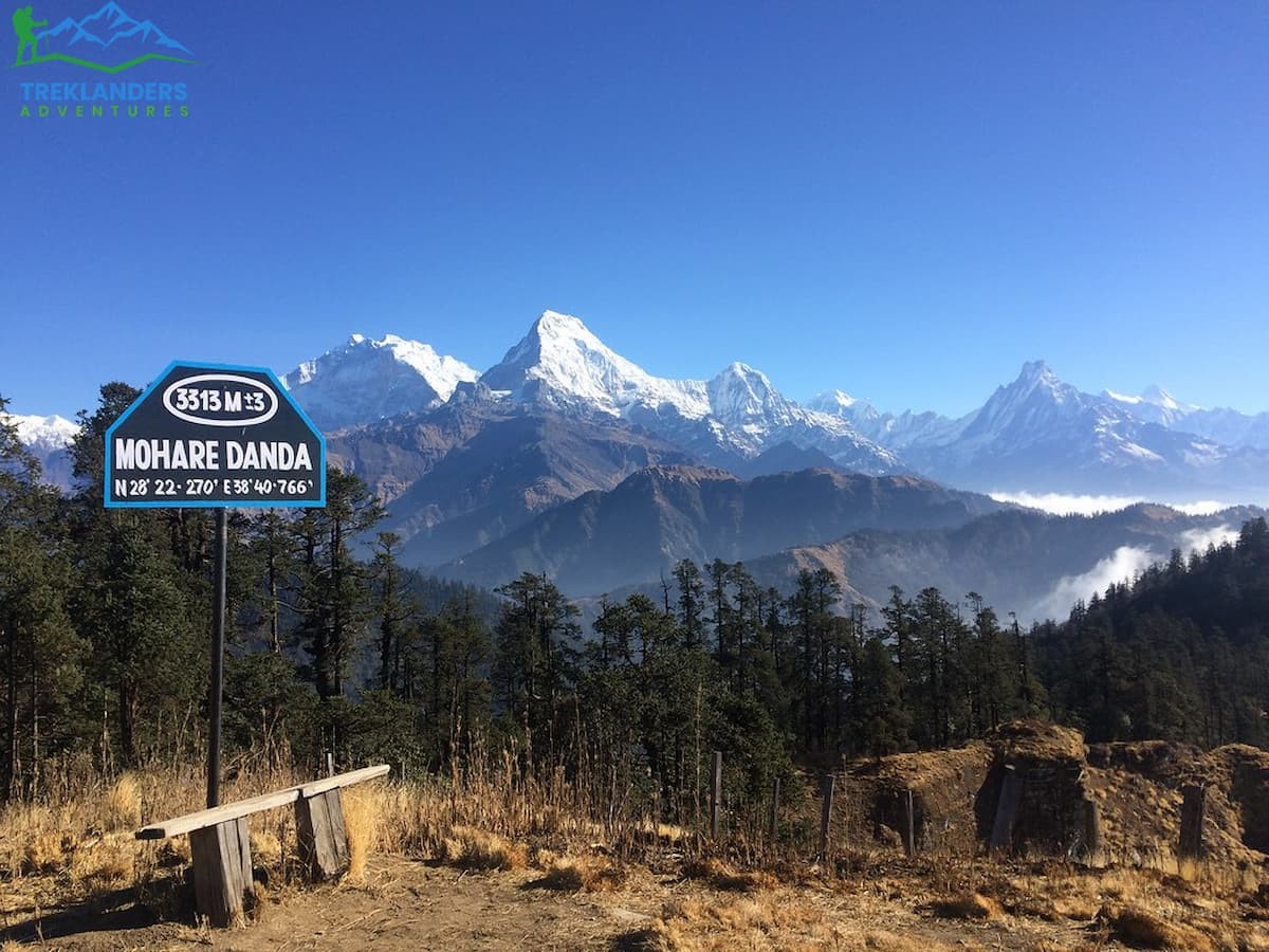
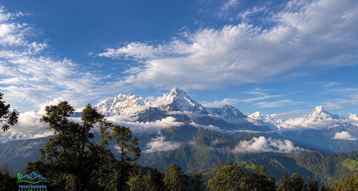
Mohare Danda's summit ridge looks out over three separate mountain ranges from one spot: Dhaulagiri to the northwest, the Annapurna massif to the north and east, and on a clear day, Manaslu further east still. Machhapuchhre, the Fish Tail peak that dominates the Pokhara skyline, is visible from here too, seen from an angle most trekkers never get.
Here's the full route broken into its component legs, so you can see exactly what ground you cover and how you cover it.
Kathmandu to Pokhara. This leg runs by road, roughly six hours along the Prithvi Highway, following the Trisuli River for a stretch before cutting west toward Pokhara. You can also fly this leg in about 25 minutes if you'd rather save the driving time.
Pokhara to Galeshwor. This is a drive, not a walk, and it's where the trek actually starts to feel remote. The road runs through Baglung and then Beni, the headquarters town of Myagdi district, before continuing to Galeshwor village on the bank of the Kali Gandaki River. Expect this drive to take several hours depending on road conditions.
Galeshwor to Bhaisekharka. This is your first walking day. The trail climbs steadily out of Galeshwor through terraced farmland and small hamlets, gaining roughly 350 meters in elevation over the course of the walk. Bhaisekharka is a small settlement with basic home-stay lodges run by the local Magar community.
Bhaisekharka to Nangi. A longer trekking day, close to six hours, climbing through forest most of the way. Nangi sits at 2,320 meters and is a bigger settlement than Bhaisekharka, with an organic garden project that locals use for both farming income and education. Lodges here are simple stone or thatched-roof buildings run as home-stays.
Nangi to Mohare Danda. The shortest but steepest day of the trek, around five hours, gaining nearly a full kilometer of elevation as the trail climbs through rhododendron and pine forest to the summit ridge at 3,313 meters. This is the high point of the entire trip, both literally and in terms of what you came here to see.
Mohare Danda to Khibang. After sunrise views from the ridge, the trail turns downhill for a long descent to Khibang at 2,060 meters, roughly six hours of walking with a few short climbs mixed into an otherwise steady drop in elevation.
Khibang to Tikot. A shorter day, around four hours, continuing the descent through smaller farm villages before reaching Tikot at 2,210 meters for an overnight stop.
Tikot to Tiplyang, then drive to Pokhara. The final trekking day is short, about three hours down to the road-head at Tiplyang, a farming village on the Beni-Tatopani road at just over 1,000 meters. From there, you switch to a vehicle for the drive back to Pokhara.
Pokhara to Kathmandu. The return leg mirrors the outbound drive, roughly six hours by road, or a short flight if you'd prefer.
That's the skeleton of the trip. What follows walks through what each of those legs actually feels like on the ground.
The drive out of Pokhara toward Galeshwor gives you your last clear look at Machhapuchhre and the Annapurna range from the valley floor before the trail takes over. The road follows the Pokhara-Baglung-Beni highway, a route used by trekkers heading to several different regions, not just Mohare Danda. Beni itself is a working district headquarters, not a tourist town, and it's where you get your last real supply stop before the trail narrows into village territory.
From Beni, the drive continues a short distance further to Galeshwor, sitting on the bank of the Kali Gandaki. This is where the vehicle stops and the walking starts. Most groups take a lunch break here before shouldering packs for the first climb.
The trail out of Galeshwor doesn't waste time getting into the hills. It climbs from the first step, following a path used daily by local farmers moving between terraced fields. You'll pass through small hamlets where the pace of life hasn't changed much regardless of what's happening on the trekking routes further north.
The forest starts to close in as you gain elevation, and by the time you reach Bhaisekharka the terrain has shifted from open farmland to something closer to woodland. Bhaisekharka itself is small: a handful of home-stay lodges, simple but clean, managed by families from the Magar community that populates this entire stretch of the trail. The rooms are basic. The welcome tends not to be.
The walk from Bhaisekharka to Nangi is the longest single trekking day on the standard itinerary, and it's mostly forest. Rhododendron gives way to oak, then back to rhododendron, depending on elevation and aspect. Wildlife sightings aren't guaranteed, but the birdlife along this stretch is active, particularly in the early morning before the day's heat builds.
Nangi is a larger village than Bhaisekharka, and it has a project worth knowing about before you arrive: an organic vegetable garden maintained partly for education, partly for local income. It's part of a broader push in these Magar villages to build sustainable income sources that don't depend entirely on trekking traffic. Staying overnight here gives you a chance to walk through the garden and talk with locals about how it works, if your guide has the language to translate.
Accommodation in Nangi follows the same pattern as Bhaisekharka: home-stay lodges, stone or timber construction, corrugated or thatched roofing, and a communal dining space where meals are cooked fresh rather than reheated from a set menu.
This is the day the whole trip builds toward. From Nangi, the trail climbs into denser stands of rhododendron and pine, and the incline holds steady rather than easing off in sections the way some of the earlier days did. You're gaining almost a kilometer of elevation over the course of a single trekking day, so pace matters more here than on any other stage.
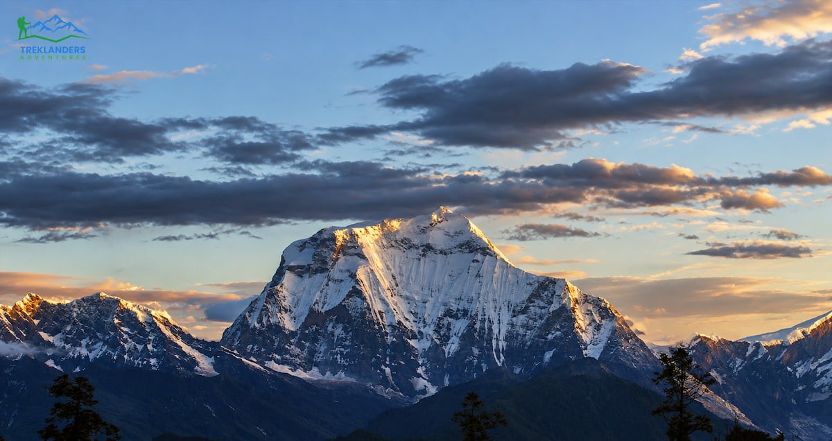
The payoff comes at the top. Mohare Danda's ridge gives you a panorama that includes Dhaulagiri, the Nilgiri range, the full spread of Annapurna peaks, and Machhapuchhre's distinctive fishtail summit, all visible without turning your head more than a few degrees. Sunset from here reflects off the snow on the western peaks, and it's worth the short additional walk many lodges offer to a slightly higher viewpoint for an unobstructed line of sight.
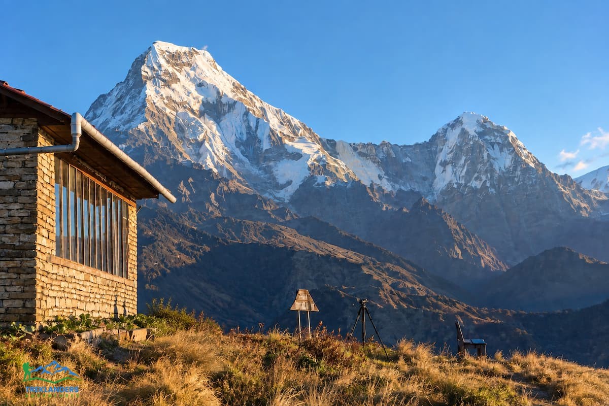
Overnight accommodation at Mohare Danda is run as an eco-community lodge, built and operated specifically to serve trekkers passing through on this route. It's more purpose-built than the home-stays lower down, though still simple by any standard outside the trekking world.
Most trekkers get up before dawn on this day specifically for the sunrise from the ridge, watching the light hit Dhaulagiri, Annapurna, and Manaslu in sequence as the sun clears the horizon. After breakfast at altitude, the trail turns downhill and stays that way for most of the day, with only a few short climbs breaking up an otherwise steady six-hour descent to Khibang.
Khibang sits at 2,060 meters, considerably lower than Mohare Danda, and the vegetation and climate shift accordingly as you drop. The village itself is small, another farm community with lodging managed by the local eco-community group rather than individual families, though the practical experience for a trekker doesn't differ much from the home-stays further up the trail.
The walk from Khibang to Tikot is shorter, around four hours, and continues the general downhill trend of the return leg. The trail passes through a series of smaller farm settlements before reaching Tikot at 2,210 meters, where the path opens into more level ground compared to the ridge-and-valley terrain further back.
Tikot has lodging managed jointly by Magar families and the same eco-community structure you'll have encountered at Khibang. Most trekkers treat this as a lighter day, arriving early enough to rest, take a short walk around the village, or simply sit and take in the surrounding hills before the final push out the following morning.
The last trekking day is the shortest of the trip, a descent of roughly three hours from Tikot down to Tiplyang, a farming village sitting at just over 1,000 meters on the road between Beni and Tatopani. This is where the trail effectively ends and the trip switches back to vehicle transport.
Tiplyang sits by the Kali Gandaki River, and its position on a road used by traffic heading toward Mustang gives it a slightly different feel than the more isolated villages higher up the trail. After a stop for lunch, the group loads into vehicles for the drive back to Pokhara, closing the loop that started at Galeshwor days earlier.
Arriving back in Pokhara after six days on the trail puts you back within reach of hot showers, varied food, and the lakeside strip along Phewa Lake. Many trekkers spend the afternoon simply resting, though Pokhara has enough adventure activities on offer, paragliding, zip-lining, and boating on the lake among them, that a free afternoon here doesn't have to mean sitting still.
The surface changes character several times over the six trekking days, and knowing what's coming helps you pick footwear and pace correctly. Between Galeshwor and Bhaisekharka, the trail runs mostly on packed earth and stone steps cut through terraced farmland, maintained by the villagers who use the same path daily to move between fields. Traction isn't usually a problem here except after heavy rain, when the clay-heavy soil in places turns slick.
Higher up, between Bhaisekharka and Nangi, the ground shifts to forest floor, roots, leaf litter, and the occasional stretch of exposed rock where the trail crosses a ridge or a stream. Trekking poles help here more than on the lower sections, since the terrain undulates rather than climbing at one steady grade.
The climb from Nangi to Mohare Danda is where the trail gets its most technical, though even here nothing requires ropes or scrambling. Stone steps built into the steeper pitches make the climb manageable, but the sustained grade means your legs will feel this section regardless of prior conditioning. Near the top, the trail breaks out of the tree line briefly, and wind exposure picks up noticeably compared to the sheltered forest below.
The descent side, Mohare Danda through Khibang and Tikot to Tiplyang, runs on a mix of dirt trail and stone paths through smaller settlements, with a gradual drop in elevation that puts less strain on your knees than a single steep descent would. Good ankle support in your boots matters more on this side of the loop, since uneven footing on a downhill stretch is where rolled ankles tend to happen.

The elevation range on this trek, from around 1,000 meters at Tiplyang up to 3,313 meters at Mohare Danda, means you'll want layering options rather than a single set of cold-weather gear. Mornings at Mohare Danda can run cold enough for a proper insulated jacket, while the walk down through Galeshwor's farmland stays warm enough for a base layer alone.
A few items matter more on this route than they might on flatter, lower treks. A headlamp is worth having charged and accessible, since the sunrise viewing at Mohare Danda often means leaving your room before first light. Trekking poles help substantially on both the steep climb to the summit ridge and the long descent afterward, reducing strain on your knees over consecutive days of elevation change. A basic water purification method, tablets or a filter bottle, covers you at lodges where boiled water isn't always guaranteed to be available immediately.
Footwear deserves particular attention given the mix of terrain. A broken-in pair of waterproof trekking boots with solid ankle support handles the stone steps, forest roots, and occasional muddy patches better than lighter trail runners would, especially if you're trekking outside the driest months of the year.
Sun protection matters even though the trail spends real time under forest canopy. The exposed ridge sections, particularly near Mohare Danda itself, get direct sun at altitude, and UV exposure at 3,300 meters is stronger than it would be at sea level even on a cool day.
Trekking this route with a licensed guide is standard practice, and it makes a real difference given how the trail winds through forest, small villages, and ridgelines where signage is minimal outside the main junctions. A guide handles route-finding, coordinates which lodge you stay at each night, and communicates with lodge owners and villagers in situations where language would otherwise be a barrier.
Porters are common on this route too, and hiring one changes the physical experience of the trek substantially. A porter typically carries the bulk of your gear, usually split between two trekkers per porter, leaving you with a daypack holding water, snacks, a layer or two, and anything else you want immediate access to during the day's walk. This matters most on the steeper days, particularly the climb to Mohare Danda, where carrying a full pack adds real strain that a lighter daypack avoids.
Group sizes on this route range widely, from solo trekkers paired with a private guide up to larger organized groups. The trail and lodge infrastructure handle both ends of that range without much strain, since the home-stay system along this route was built with flexible group sizes in mind from the start. Larger groups do mean coordinating logistics further in advance, since lodge capacity in the smaller villages, Bhaisekharka and Khibang in particular, isn't unlimited.
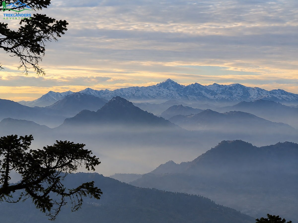
Reaching Galeshwor from Pokhara means driving west along the Pokhara-Baglung-Beni highway, a route that also serves trekkers heading to several other regions in the Annapurna foothills, so it's a well-traveled road rather than a rough, unmarked backcountry track. The drive passes through Baglung town before reaching Beni, the administrative center of Myagdi district, and continues a shorter distance further to Galeshwor itself.
This entire drive can also be done by public bus rather than private vehicle, though most organized treks use a private vehicle or jeep for both comfort and time. The road handles seasonal variation reasonably well, though monsoon rains can occasionally cause delays or require caution on certain stretches, one more reason the June through August window doesn't suit this trek particularly well.
The return journey from Tiplyang back to Pokhara follows a shorter drive than the outbound leg to Galeshwor, since Tiplyang sits closer to the main highway junction. From Tiplyang, the road runs down toward Beni before rejoining the same highway used on the way out, cutting the return drive time compared to the initial approach.
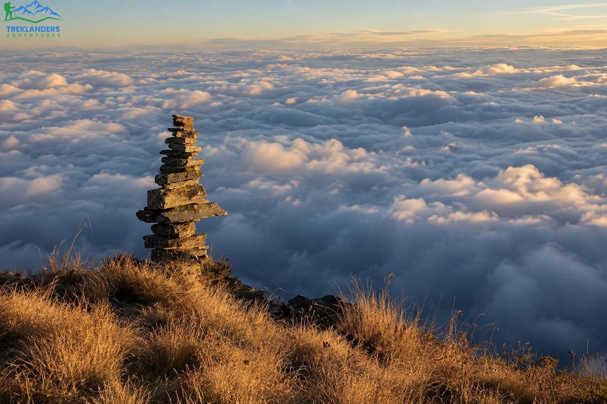
The core trekking portion of the Mohare Danda route runs six days, from the drive out to Galeshwor through to the drive back from Tiplyang. That's the part of the trip that involves walking with a pack and staying in trail lodges. Wrapped around that core, most itineraries add time in Kathmandu and Pokhara for arrival, sightseeing, and buffer days, which is why a full package often runs closer to 11 or 12 days door to door.
Daily walking time across the trek ranges from three to six hours, with the heaviest days falling in the middle of the trip: Bhaisekharka to Nangi and Mohare Danda to Khibang both run close to six hours. The climb from Nangi to Mohare Danda is shorter in time, around five hours, but carries the steepest sustained elevation gain of the trip.
Elevation across the route moves through a wide range. You start the walking portion at Galeshwor around 1,170 meters, climb steadily through Bhaisekharka at 1,526 meters and Nangi at 2,320 meters, then push up to the trek's high point at Mohare Danda, 3,313 meters. From there, the route drops back down through Khibang at 2,060 meters and Tikot at 2,210 meters, before descending to Tiplyang at just over 1,000 meters, the lowest point on the trekking portion of the route.
That range, from roughly 1,000 meters to 3,313 meters and back again, means you'll feel real temperature and vegetation shifts across the trip. Lower villages sit in warmer, more open farmland. The middle stretch through Nangi and the approach to Mohare Danda runs through cooler forest. The summit ridge itself sits above the tree line in places, exposed to wind and, depending on season, cold enough at night to need real insulation even though the altitude here is modest compared to treks like Everest Base Camp or Annapurna Base Camp.
Total walking distance across the six trekking days isn't a fixed number, since pace and exact route choices vary between groups and guides, but the daily hour ranges above give a reliable sense of what to expect. This isn't a trek that demands technical skill or exceptionally long days. It demands steady, consistent walking with a few genuinely tough climbs mixed in, particularly the push up to Mohare Danda itself.
Two permits cover this route, and both are standard requirements for trekking inside the Annapurna Conservation Area.
Annapurna Conservation Area Permit (ACAP). Mohare Danda falls inside the boundaries of the Annapurna Conservation Area, and this permit is required for any foreign trekker entering the zone. The fee goes toward conservation work, trail maintenance, and support for the local communities that live inside the protected area, including the Magar villages you'll be staying in along this route.
Trekkers' Information Management System (TIMS) Card. This card exists to help authorities track who's on the trail and where, primarily for safety and emergency response purposes. It's required alongside the ACAP for this route.
Both permits are available through the Tourism Office in Kathmandu or the equivalent office in Pokhara, and both typically process same-day. You'll need a passport copy, passport-sized photos, and basic trip details including your planned route and dates. If you're booking through a trekking agency, this paperwork is usually handled for you, and the physical permits travel with your guide rather than requiring you to carry or manage them yourself.
Trekking without these permits isn't just a minor bureaucratic risk you can shrug off. Checkpoints along Annapurna Conservation Area routes do verify permits, and moving through the region without them can mean turning back or facing delays that eat into your trip. Sorting this out before you leave Kathmandu or Pokhara removes one more variable from a trip that already has enough moving parts.
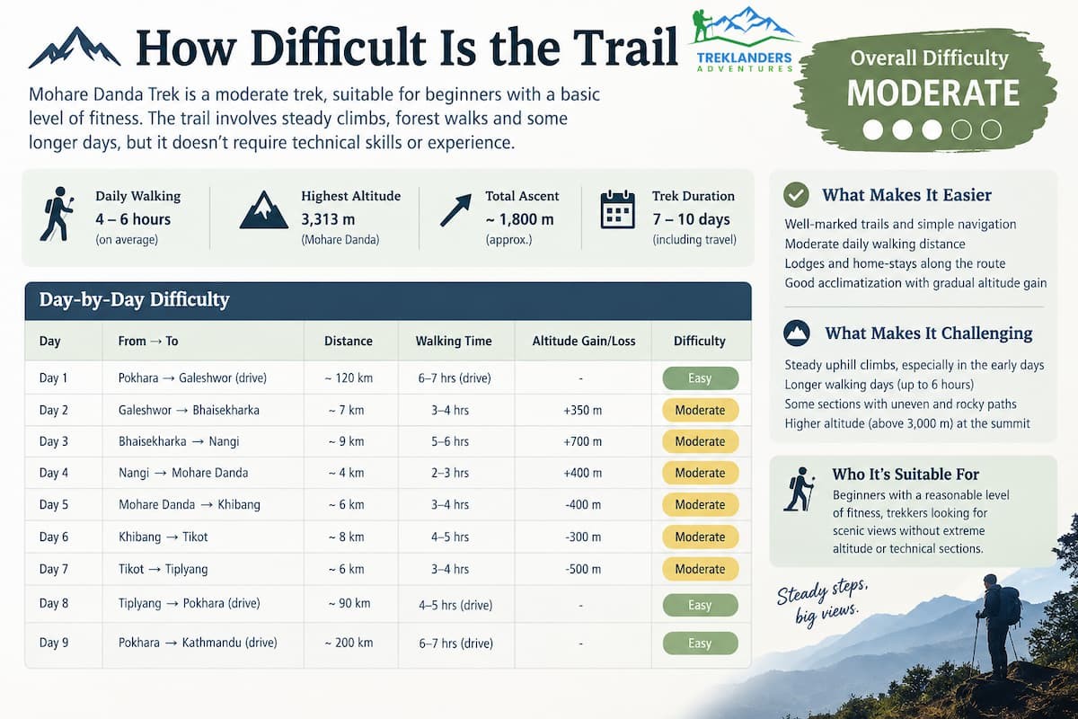
Mohare Danda sits in the moderate category, which in practical terms means it asks more of you than a flat valley walk but doesn't require technical mountaineering skill or previous high-altitude experience. Daily walking runs four to six hours, and the trail itself is well-marked and maintained by the communities that depend on it.
The steepest sections come on the two middle days: the long forested climb from Bhaisekharka to Nangi, and the final push from Nangi up to the Mohare Danda ridge. Neither involves technical terrain, no scrambling or exposed sections requiring gear, but both demand sustained uphill effort at a pace that suits your own fitness rather than rushing to match a group.
Altitude on this trek stays modest by Himalayan standards. The high point at 3,313 meters is well below the range where altitude sickness becomes a serious concern for most trekkers, though the itinerary still allows reasonable time for your body to adjust as you climb. Staying hydrated and pacing yourself on the uphill sections matters more here than worrying about acute mountain sickness protocols you'd need on a route like Everest Base Camp or the Annapurna Circuit's Thorong La crossing.
For someone with reasonable general fitness, walking or hiking regularly in the weeks before the trip goes a long way toward making the climbing days feel manageable rather than brutal. You don't need prior trekking experience specifically, but a baseline level of cardiovascular fitness and some comfort with sustained walking makes the difference between enjoying the views at Mohare Danda and simply surviving the climb to get there.
Spring, running from March through May, is one of the two strongest windows for this trek. Rhododendron forests along the route bloom heavily during these months, turning sections of the trail red, pink, and white depending on species and elevation. Days tend to run clear and warm, though afternoon cloud build-up is common, and temperatures drop noticeably once the sun goes down.
Autumn, from September through November, is the other prime season, and many trekkers rate the mountain visibility during these months even higher than spring. The air clears out after the monsoon, and the views from Mohare Danda's summit ridge, particularly the sunrise over Dhaulagiri and Annapurna, tend to be sharper and more reliably unobstructed than at other times of year.
Winter, December through February, remains an option for trekkers who don't mind cold mornings and nights. Daytime walking is still comfortable in most conditions, and the trail sees noticeably fewer people during these months if solitude ranks high on your priority list. Snowfall is possible at higher points along the route, including at Mohare Danda itself, so packing for genuine cold matters if you choose this window.
Monsoon season, mid-June through August, is the one stretch of the year worth avoiding. Heavy rain turns trail sections slippery, cloud cover blocks the mountain views that are a large part of why people come here in the first place, and leeches in the lower forest sections become a real nuisance. The trek remains technically possible during monsoon, but it trades away most of what makes Mohare Danda worth doing.
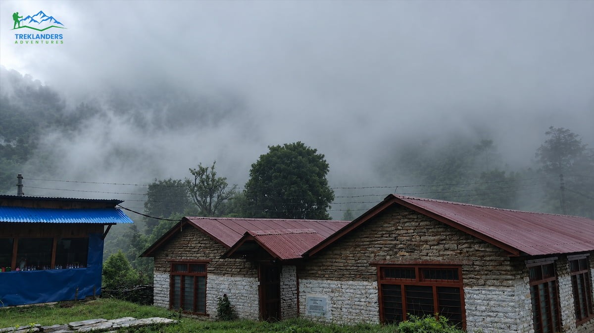
The Magar people are the dominant hill tribe across this stretch of the Annapurna foothills, and their villages, Galeshwor, Bhaisekharka, Nangi, and Tiplyang among them, form the backbone of the trekking infrastructure on this route. Traditionally farmers and livestock herders, Magar communities here have also built a long history of supplying soldiers to Gorkha regiments, a fact that comes up often in conversation with guides and lodge owners along the trail.
Religious practice in these villages blends Hindu and Buddhist tradition with older beliefs tied to nature and mountain spirits, visible in the small shrines scattered through the villages you'll pass. This isn't a region built around large monasteries. The religious presence here stays woven into daily village life rather than set apart from it.
Staying in home-stay lodges rather than larger commercial tea houses puts you in more direct contact with this culture than you'd get on more heavily trafficked routes. Meals are cooked by the families running the lodge, using ingredients grown or raised locally where possible, and conversations with hosts, filtered through your guide if you don't share a language, tend to cover everything from farming cycles to how the eco-community lodge system developed in villages like Khibang and Tikot.
Mohare Danda rewards trekkers who bring a camera, though the best shots on this route don't all come from the summit ridge. The terraced farmland between Galeshwor and Bhaisekharka photographs well in early morning light, when mist often sits in the valley below and the terraces catch low-angle sun. The forest sections through Bhaisekharka and Nangi offer close-up material, rhododendron blooms in spring, moss-covered trunks and filtered light year-round, that a wide summit panorama can't capture.
At Mohare Danda itself, sunrise is the obvious draw, and for good reason. The sequence of light hitting Dhaulagiri first, then working across to Annapurna and Manaslu, gives you a changing composition over roughly twenty to thirty minutes rather than a single fixed shot. Many lodges point out a slightly elevated spot a short walk from the main building that clears a few trees blocking the widest angle, worth asking your guide about on arrival rather than discovering it after sunrise has already started.
Village life along the descent, particularly in Khibang and Tikot, offers a different kind of material: working farms, home-stay kitchens, and daily routines that haven't been staged for trekkers. Asking permission before photographing people directly is standard courtesy here, and most hosts are open to it once asked.
Because this trek runs on the shorter end for the Annapurna region, six trekking days inside a loop that starts and ends in Pokhara, it fits naturally alongside other activities without demanding a full trip built around it alone. Trekkers often pair it with time in Kathmandu before or after, using the Kathmandu Valley's heritage sites to fill the arrival or departure days that bracket the trekking portion.
Pokhara itself offers enough on its own to justify extra time beyond what the standard itinerary allocates. Paragliding over Phewa Lake, short hikes to viewpoints like Sarangkot, and boating on the lake all sit within easy reach of where you'll already be staying before and after the trek. Trekkers with more time available sometimes extend into a longer Annapurna region itinerary, adding a few days in a neighboring area before or after the Mohare Danda loop, though this requires additional planning around permits and routing that goes beyond the standard package.
For trekkers deciding between Mohare Danda and a longer, higher-altitude route in the same region, the honest comparison is about what you're optimizing for. Mohare Danda trades altitude and distance for quiet trails and a shorter overall time commitment. Routes like the Annapurna Circuit or Annapurna Base Camp climb higher and cover more ground, but they also see considerably more trekking traffic during peak season.
Mohare Danda won't test your technical climbing skills, and it won't put you at altitudes where oxygen becomes a serious concern. What it delivers instead is a genuine look at rural life in the Annapurna foothills, mountain views that rival the region's more famous routes, and a trail quiet enough that you'll actually notice the birdsong and the wind through the rhododendron rather than the footsteps of the group ahead of you.
The route runs a clean loop from Pokhara through Galeshwor, up to the Mohare Danda ridge, and back down through Khibang, Tikot, and Tiplyang, covering close to a kilometer and a half of total elevation change across six trekking days. Permits are straightforward, just the ACAP and TIMS card, both processed quickly through the Tourism Office. Difficulty sits comfortably in moderate territory, manageable for reasonably fit trekkers without previous high-altitude experience.
If your priority is standing on a ridge with Dhaulagiri, Annapurna, and Machhapuchhre spread out in front of you, without sharing that view with fifty other people doing the exact same thing, Mohare Danda is built for that.
Explore Tsum Valley’s ancient monasteries, remote villages, Tibetan culture, and breathtaking Himalayan landscapes.
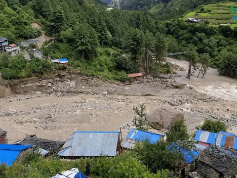
Get the latest Manaslu Circuit Trek closure updates, trail conditions, reopening status, and alternative treks after the September 2026 flood.
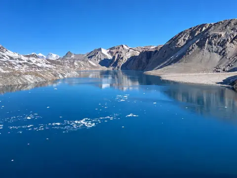
Discover the Tilicho Lake Base Camp Trek in Nepal, featuring stunning Himalayan scenery, remote Manang trails, and the iconic Thorong La Pass.



