
Top 10 Tour Destinations in Nepal (2027): The Complete Travel Guide
9 Oct 2026
Explore Nepal’s top 10 travel destinations for 2027, featuring breathtaking Himalayas, rich culture, wildlife, and unforgettable adventures.

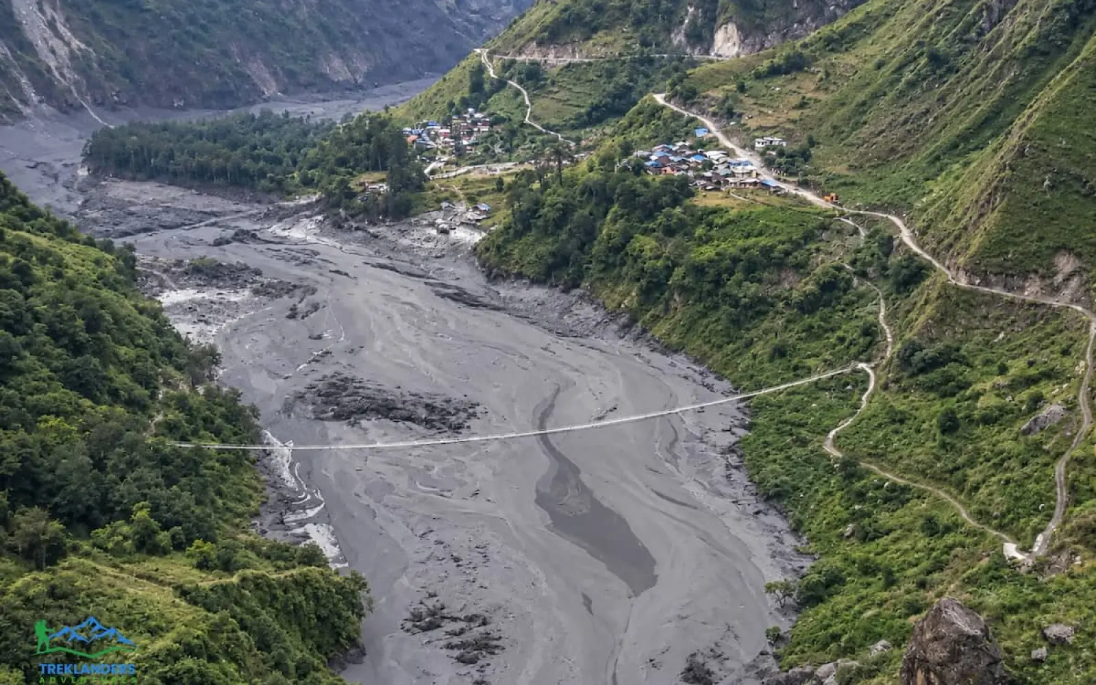
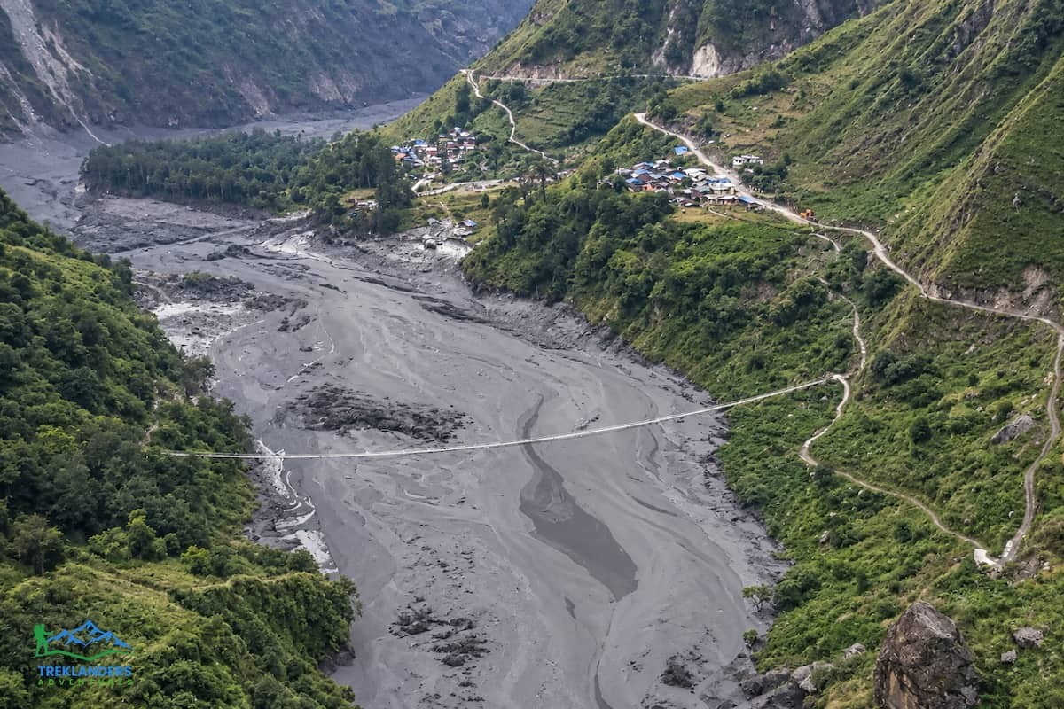
A flash flood tore through the Budhi Gandaki valley on October 11, 2026, and it has changed the trekking picture in the Manaslu region overnight. If you're planning a Manaslu Circuit trek, a Tsum Valley trip, or a combined route for the coming season, you need the real facts before you book anything or change existing plans. This update breaks down what happened, which sections of the trail are damaged, what's still open, and what you should actually do next.
A landslide near Chumchet in Gorkha district blocked a tributary of the Budhi Gandaki, and the blockage gave way early Sunday morning. When it did, a wall of water and debris came down the valley with almost no warning. It hit villages, bridges, and trail infrastructure that thousands of trekkers pass through every autumn on their way toward Larkya La Pass and the hidden monasteries of Tsum. This is the second major disruption to hit this corridor in just seven weeks, and it follows the catastrophic August 26 flood on the Bhotekoshi and Trishuli rivers in neighboring Rasuwa district, a disaster that killed more than 1,400 people. The Budhi Gandaki flood is a separate event in a separate river system, but the two disasters together have put Nepal's northern trekking districts under more scrutiny than they've seen in years.
For context, Nepal's northern trekking districts have now seen three significant flood events in under three months, a pace that even veteran guides in the region describe as unusual. Rivers that normally carry predictable, seasonal volumes have instead produced sudden, debris-laden surges with little or no warning, driven by a mix of landslide-dammed streams, unstable glacial terrain, and shifting monsoon patterns. None of that changes the practical question in front of you if you're holding a booking for this autumn or next spring, but it does explain why trekking agencies across the Manaslu region and beyond are being noticeably more cautious with departure dates this year than in a typical season.
Here's everything currently known, verified against multiple news sources and local reports as of October 13, 2026.
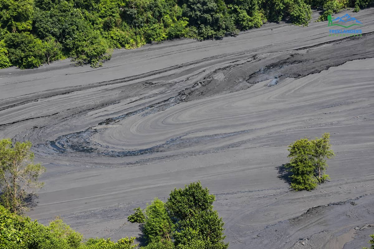
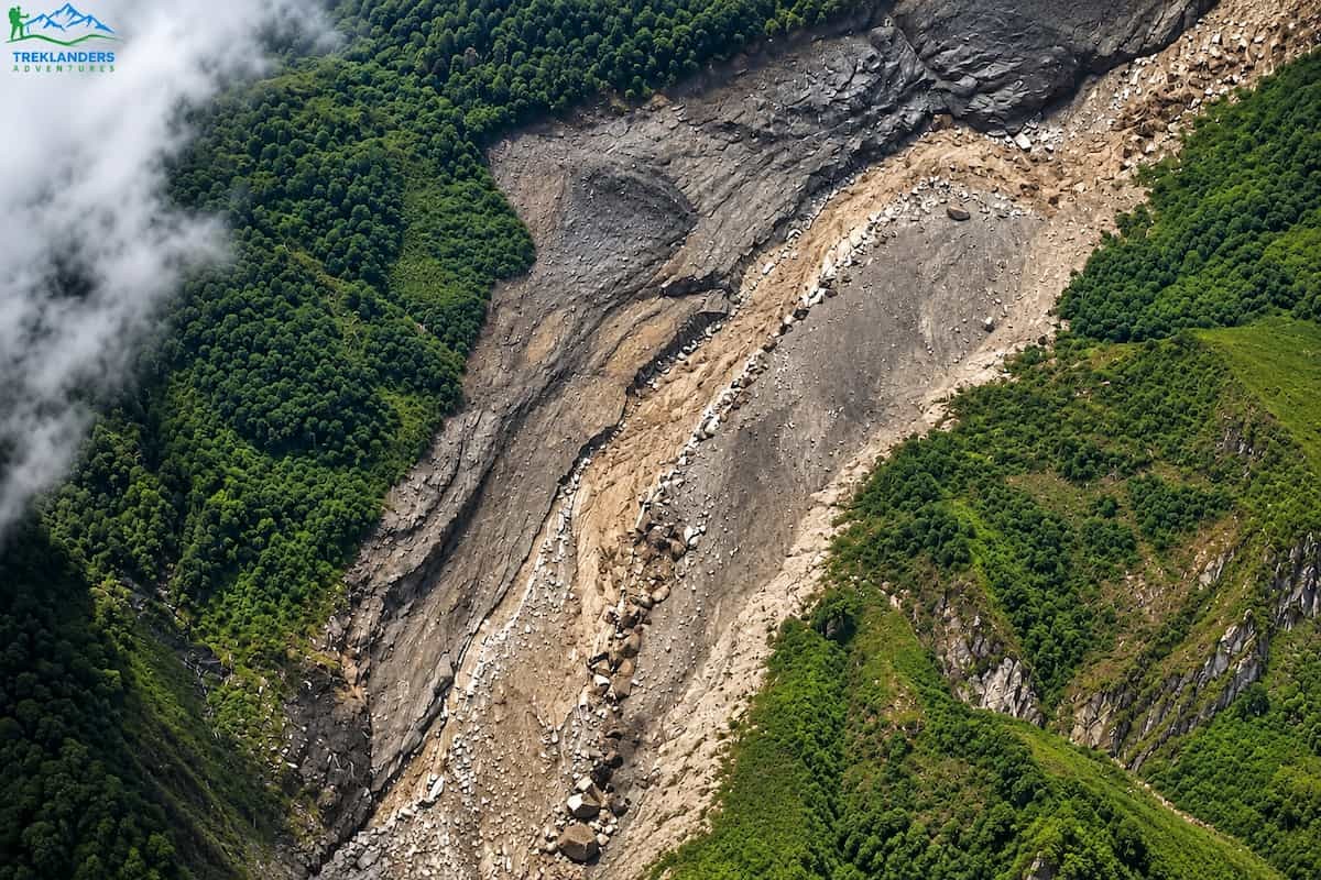
Around four in the morning on Sunday, October 11, a flood carrying mud, rocks, and debris hit the Chumnubri area of Gorkha district, roughly 100 kilometers west of Kathmandu. Satellite images show a large landslide near Chumchet that appears to have happened the day before. Officials suspect it blocked the Ungilung Khola, a tributary that flows through the Syar Khola into the Budhi Gandaki, and that the temporary dam burst. ICIMOD's preliminary assessment points the same way, to the failure of a landslide-dammed river. No unusual rainfall was recorded in the upper catchment, which puzzled hydrologists at first. Reports say water began flowing again around 6:15 a.m. and a second large surge followed. All of this remains preliminary, and authorities have not confirmed a single official cause. ICIMOD also notes that the same valley flooded in April 2024, when an ice avalanche from the Manaslu Glacier fell into Birendra Tal. That event was not a glacial lake outburst flood.
The flood hit hard. Nearly 35 to 40 houses were swept away in Painyu and Bagar. Six bridges were destroyed, including two motorable bridges and four suspension footbridges, among them the crossing connecting Nyakchet and Philim bazaar and a Bailey bridge linking wards in Dharche Rural Municipality. An under-construction powerhouse belonging to the 341-megawatt Budhi Gandaki hydropower project in Salleri was swept away along with equipment and a second nearby hydropower site. A landslide in Chumnubri also took out five cattle sheds.
Missing-person counts vary by source. Early wire reports said 10 people were unaccounted for. The Kathmandu Post and OnlineKhabar reported four to five people missing from a shed on the Ungilung riverbank in Chumchet. Close to 50 people were rescued by Nepali Army personnel, police, and four helicopters deployed to the area. No deaths had been confirmed as of Sunday, though search and rescue operations were still active into this week. Home Minister Sudan Gurung issued evacuation orders for residents in Sirdibas, Jagat, Salleri, Khorlabesi, Machhakhola, Soti, Arkhet, and Arughat, urging anyone living along the riverbank to move to higher ground immediately. Prime Minister Balen Shah confirmed that an Army contingent had been mobilized by both air and land. The Ministry of Health activated its Health Emergency Operations Centre to coordinate medical response, with a dedicated helpline for people needing assistance.
Tourists preparing for or already on the Manaslu trek were among those affected. Several groups were reported stranded when the flood washed out footpaths and bridges along the route, though officials confirmed those trekkers were safe at their lodges and not in immediate danger. That distinction matters: being stranded by a damaged trail is very different from being caught in the flood path itself, and so far there's no indication that any trekking group was directly endangered.
Local officials have drawn an explicit comparison to the August disaster. Chumnubri Rural Municipality's Deputy Chair described the scale and suddenness of this flood as reminiscent of the Bhotekoshi flood in Rasuwa, a comment that reflects just how forceful the October 11 surge was, even though the two events are hydrologically unrelated. The hydropower damage adds another layer to the story. The 341-megawatt Budhi Gandaki project under construction in Salleri is one of the larger energy infrastructure investments in this part of Gorkha, and losing its construction camp and equipment, even temporarily, is a setback that will take months to fully assess, separate from the trekking-route question.
If you've been following Nepal trekking news this year, you've probably seen three separate flood events mentioned together, and it's worth being precise about which is which, because they affect different routes in different ways.
The first was the catastrophic flood of August 26, 2026, caused by a glacial lake outburst on the Tibetan side of the border that sent a wall of water down the Bhotekoshi and Trishuli river system in Rasuwa district. That disaster killed more than 1,400 people and caused an estimated $4.7 billion in damage. It devastated the road to Syabrubesi and cut off the standard approach to Langtang Valley and the Gosainkunda route. It did not touch the Manaslu region at all, because the Budhi Gandaki and the Trishuli are entirely separate drainages that happen to converge much further downstream.
The second was a smaller flash flood on September 6, 2026, which hit the Budhi Gandaki and Therang Khola near Namrung, further up the valley than this latest event and beyond the Tsum turn-off at Lokpa. That flood damaged a suspension bridge and disrupted the Chaurikharka section of the trail toward Chhekampar, closing both the Manaslu Circuit and Tsum Valley routes. Operator reports differ on how long that closure lasted. Some say the route reopened within days, and others expected late September.
This third flood, on October 11, struck lower in the valley, closer to the trailhead, in the Chumnubri and Chumchet area around Lokpa, with damage extending down through Jagat, Salleri, and Machhakhola toward the road corridor. It's a fresh, distinct event, not an extension of the September damage, although the cumulative effect on anyone planning a Manaslu Circuit with Tsum Valley trek this autumn is obviously significant. Three disruptions in the Gorkha and Rasuwa corridor within two and a half months is unusual even by Himalayan standards, and it reflects a broader pattern of unstable river systems and glacial activity across Nepal's northern districts this year.
Be skeptical of any source that lumps all three floods together as one disaster. Each event has a distinct cause, a distinct location, and a distinct recovery timeline. The clearest way to think about it is geographically: Rasuwa and the Langtang approach road form one affected zone, the lower Budhi Gandaki near Lokpa and Machhakhola forms a second, and the Namrung area slightly further up the valley, now largely recovered from its September disruption, forms a third.
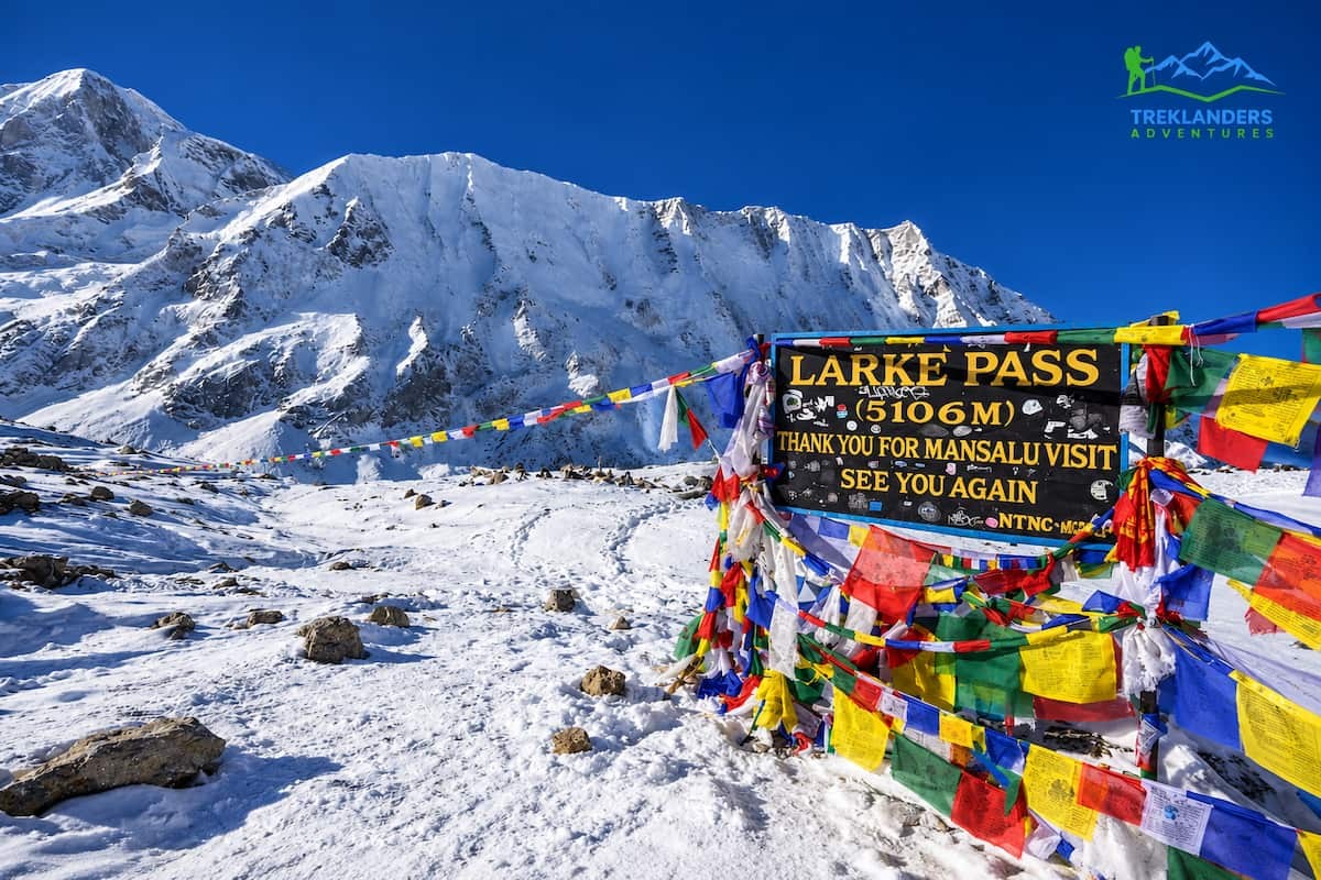
The lower section of the Manaslu Circuit, the part that follows the Budhi Gandaki River from the roadhead at Machhakhola up through Jagat and Lokpa, took the worst of the damage. This is the only way in. Every standard itinerary for the Manaslu Circuit Trek, whether you're doing the 13-day version or the longer 14-day route, walks this exact corridor to reach the high section of the trail and Larkya La Pass. With the Soti bridge and the Machhakhola footbridge both damaged, and with disaster authorities telling people to stay away from the riverbanks, there is currently no safe way to walk from the trailhead into the conservation area.
Here's the part that matters for anyone wondering whether the whole trek is wiped out: the upper Manaslu Circuit, from Nyak Phedi through Samagaun, Samdo, Dharmasala, and over Larkya La Pass at 5,106 meters, has not been physically damaged by this flood. Local sources confirm the high trail and the pass itself remain intact. The problem isn't the upper route. The problem is getting there, because the lower corridor that feeds into it is currently blocked and considered unsafe.
That's a meaningful distinction if you're trying to understand the real scope of the damage rather than assuming the entire 162-kilometer loop around Mount Manaslu is gone. It isn't. Access is the issue, not the mountain itself, and access problems get resolved on a very different timeline than structural trail rebuilding. Bridge replacement and trail clearing in this part of Nepal typically moves fast once the army and local construction crews are mobilized, but there is currently no official reopening date.
This also means the shorter 14-day Manaslu Circuit Trek and the 13-day Manaslu Circuit Trekking package, both of which skip the Tsum Valley detour and go straight up the main gorge, are affected in exactly the same way as the longer combined itinerary. The flood doesn't discriminate between trip lengths. Whether you booked a shorter circuit-only trip or the full combined route, the bottleneck is the same stretch of trail between Machhakhola and Lokpa, and every version of the itinerary has to cross it.
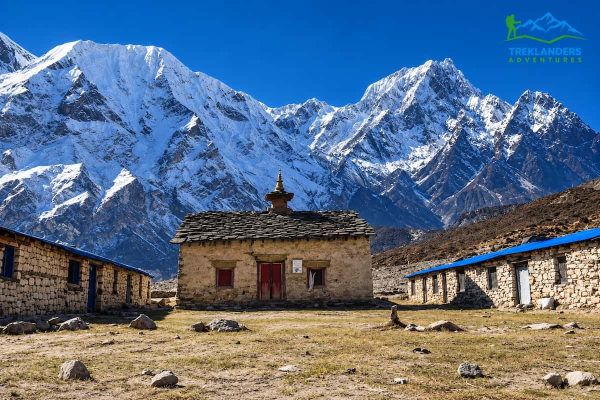
Tsum Valley branches off the main Manaslu trail at Lokpa, which places it directly inside the flood-affected zone. The origin point of this latest flood, the side stream in the Chumchet area, sits right where the trail splits toward Tsum Valley. That makes Tsum arguably the more exposed of the two routes right now, since the damage is concentrated almost exactly where trekkers would turn off toward Chumling, Lama Gaun, Chhekampar, and eventually Mu Gompa.
Operators running trips into the valley have paused departures. The sacred circuit through Rachen Gompa, Mu Gompa, and the lower Tsum villages, prized precisely because it sees so much less foot traffic than the main Manaslu trail, is inaccessible until the Lokpa junction and the trail beyond it are cleared and confirmed stable. If you had a Tsum-specific booking or a combined Manaslu and Tsum Valley itinerary planned for the next few weeks, plan on rerouting or postponing, even if the main Manaslu trail reopens first, since the two don't necessarily clear on the same timeline.
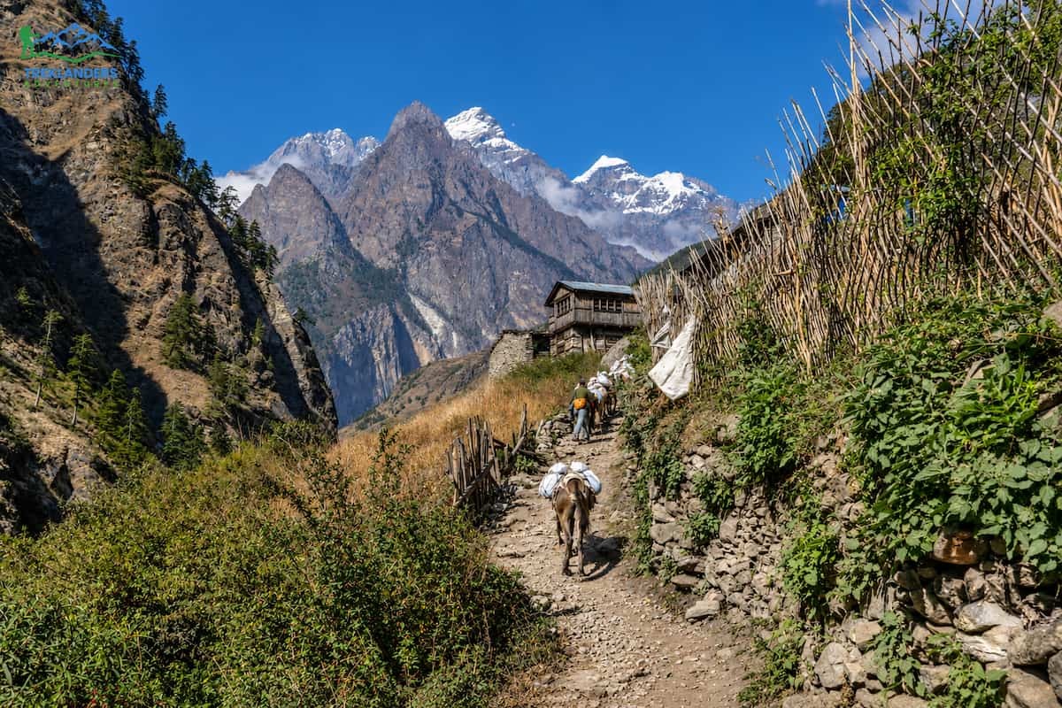
It helps to understand this route as a trail, not just a list of damage reports, because that's the only way to appreciate what's actually at stake here and what reopens when conditions improve. The full 20-day Manaslu Circuit with Tsum Valley itinerary traces a specific, well-established path, and almost every village named in the flood reports is a stop on that trail.
The journey starts in Kathmandu with a long drive, eight to nine hours, following the Trishuli and then the Budhi Gandaki rivers out to Machhakhola at 930 meters. This drive itself follows the lower river corridor, the same stretch disaster authorities are currently telling people to avoid. From Machhakhola, the trek proper begins with a six to seven hour walk along the Budhi Gandaki to Jagat, crossing suspension bridges and threading through narrow gorges and waterfalls before climbing into a traditional stone-paved village that serves as the entry checkpoint for the Manaslu Conservation Area. Jagat is named directly in the flood reports as one of the communities authorities urged to evacuate.
From Jagat, the trail continues to Lokpa at 2,240 meters, leaving the main valley floor and climbing through forest. This is the junction point. Trekkers heading into Tsum Valley branch off here, while those continuing on the standard Manaslu Circuit carry on up the main gorge. Lokpa sits right at the edge of where this flood originated, in the Chumchet and Chumnubri-6 area between Lokpa and Chumling.
For trekkers taking the Tsum detour, the trail from Lokpa leads to Chumling at 2,386 meters, a village of traditional stone houses and monasteries with views toward Ganesh Himal, then on to Lama Gaun at 3,030 meters, one of the main settlements of Upper Tsum. From there the trail climbs to Mu Gompa at 3,700 meters, the largest and highest monastery in the valley and the spiritual heart of the whole region, before the route reverses direction and descends back through Chhekampar and returns to Lokpa to rejoin the main trail. This entire loop, the reason people choose the longer combined Manaslu and Tsum itinerary over the standalone circuit, sits almost entirely within the zone currently flagged as unsafe.
Back on the main Manaslu trail past Lokpa, the route continues through Ghap at 2,160 meters, a quiet village marked by mani walls and prayer flags, then climbs more steadily to Lho Gaun at 3,180 meters, where trekkers get their first real close-up view of Mount Manaslu itself. From Lho Gaun it's a shorter push up to Samagaun at 3,530 meters, one of the largest villages in the region and the place where every sensible itinerary builds in an acclimatization day, with optional side hikes up to Manaslu Base Camp, Pungen Gompa, or the glacial lake at Birendra Tal.
After Samagaun, the trail pushes higher still, to Samdo at 3,875 meters, a windswept settlement that historically served as a trade point with Tibet, and then to Dharmasala, also called Larkya Phedi, at 4,460 meters, the final staging point before the pass. The crossing of Larkya La at 5,106 meters is the physical and emotional high point of the whole trek, an eight to nine hour day that starts before dawn and ends with a steep descent into the alpine meadows of Bhimtang at 3,720 meters. From Bhimtang, the trail descends through rhododendron forest and farmland to the Gurung village of Tilje, where the trek effectively ends and a jeep ride takes you down through Dharapani and Tal to Besisahar, closing the loop and connecting to the Annapurna road network.
None of the upper sections, from Lho Gaun through Samagaun, Samdo, Dharmasala, and over the pass to Bhimtang, have been reported damaged by this flood. The disruption is concentrated in the lower third of the route, between the roadhead at Machhakhola and the Lokpa junction, which happens to be the one stretch every single itinerary has to pass through to reach everything else. That's the real story here. It's not that Manaslu has collapsed as a destination. It's that the front door is currently blocked.
Both the Manaslu Circuit and Tsum Valley sit inside restricted areas that require special government permits, which adds a layer of regulatory complexity to the current situation beyond just physical trail damage. Trekkers need a Manaslu Restricted Area Permit and a separate Tsum Valley Restricted Area Permit, issued only through registered trekking agencies, along with the Manaslu Conservation Area Permit and, since the standard route finishes at Besisahar in Annapurna territory, the Annapurna Conservation Area Permit as well. None of this paperwork can be arranged independently. A licensed guide is mandatory in both restricted areas, and checkpoints at Jagat, Lokpa, Samagaun, and Besisahar verify documentation at multiple points along the trail.
This matters right now because permit issuance and checkpoint operations tend to track disaster authority guidance closely in restricted border areas. If the government maintains an active advisory against riverside travel in Gorkha, agencies are unlikely to be able to secure clearance for new departures into the Chumnubri area regardless of how motivated a trekking group might be. If you're working with a trekking operator in Nepal on a Manaslu or Tsum booking, this is exactly the kind of on-the-ground regulatory detail they should be tracking daily, since it often changes faster than news coverage does.
The permit system, as restrictive as it can feel when you're trying to plan a trip, is actually working in trekkers' favor during a situation like this. Because independent trekking isn't allowed in either the Manaslu or Tsum restricted areas, nobody can simply walk past the Jagat checkpoint on their own judgment and continue toward Lokpa against official guidance. Every group moving through this corridor is doing so with a licensed guide who is directly accountable to a registered agency and, by extension, to the checkpoint staff verifying permits at each stage. That structure is exactly what prevents a situation where individual trekkers make uninformed decisions about river crossings that disaster authorities have specifically flagged as dangerous.
A trustworthy operator isn't just waiting passively for news to trickle in. Agencies with an active presence in the Manaslu region are typically in direct phone or radio contact with lodge owners, guides, and porters currently stationed in villages like Jagat, Lokpa, and Machhakhola, which gives them a far more current picture than anything published online. They're also coordinating with the Trekking Agencies' Association of Nepal and local rural municipality offices, which are the two bodies most likely to issue an official reopening notice once the route is cleared and reassessed.
Good practice in a situation like this means holding all new Manaslu and Tsum Valley departures rather than pushing groups toward the trailhead on the assumption that conditions will have improved by their arrival date. It also means being upfront with clients who already have trips booked, rather than letting them discover the closure only after showing up in Kathmandu. If you're vetting a trekking agency in Nepal for a Manaslu or Tsum trip in the near future, ask directly how they're tracking this specific flood and what their internal threshold is for resuming departures. A vague answer is a red flag. A specific one, citing a named contact in Gorkha and a dated last-check, is what you want to hear.
As of this week, search and rescue remains the priority. Nepali Army helicopters are continuing operations to locate those still missing, alongside ground teams working through the debris in Painyu, Bagar, Jagat, Salleri, Dovan, and Ghattekhola. The National Disaster Risk Reduction and Management Authority has asked residents in vulnerable riverside areas across Gorkha, Tanahun, Chitwan, East Nawalparasi, and West Nawalparasi districts to stay alert, since floodwaters were expected to reach as far as the Trishuli confluence downstream.
Infrastructure recovery will follow a separate, slower track. Bridge replacement, trail clearing, and road repair in this part of Gorkha typically move quickly once the immediate rescue phase winds down, since the local economy depends heavily on the trekking season, and officials, lodge owners, and trekking agencies all have a direct interest in reopening the route before the window closes in late November. But nobody in a position of authority has published a reopening date yet, and claims from individual operators about specific reopening windows should be treated as optimistic estimates rather than confirmed facts until Nepal's Department of Tourism or the local rural municipality issues an official notice.
If you want a general sense of how this kind of recovery has gone in similar situations this year, the September 6 flood near Namrung closed the route for a period that operators describe differently, from a few days to several weeks, and operators stayed cautious about resuming full departures. A flood lower in the valley, closer to the main access road, could realistically move faster, since repair crews and materials have shorter supply lines, but it could just as easily take longer given the scale of bridge destruction reported this time. Six bridges down is a considerably larger rebuilding job than the single suspension bridge lost in September.
Temporary fixes are often the first step rather than full reconstruction. In similar situations elsewhere in Nepal, disaster response teams have installed interim wooden or Bailey-style crossings at damaged bridge sites within days, enough to restore foot traffic for relief operations and local residents, even while a permanent replacement bridge is still weeks or months away. If that pattern holds here, it's plausible that local villagers and essential supply porters regain basic access to Jagat and Lokpa well before trekking groups are formally cleared to use the same route, since the bar for reopening a trail to international tourism, with its attendant insurance, liability, and reputational considerations, is understandably higher than the bar for restoring local foot traffic.
Weather will also play a role in how fast this moves. The Manaslu region's best trekking windows fall in spring, March through May, and autumn, September through November, which means the current closure lands right in the middle of peak autumn season. That creates real pressure on local authorities and the tourism sector to assess and reopen the route as quickly as safety allows, since a prolonged closure through November would cost the Gorkha trekking economy a meaningful share of its annual income. At the same time, nobody involved, from the Department of Tourism down to individual lodge owners, has an incentive to reopen prematurely and risk a repeat incident, so expect a cautious, phased approach rather than a single dramatic reopening announcement.
If your departure falls within the next two to three weeks, assume the trail will not be ready and start a conversation with your operator now rather than waiting for a cancellation notice. A responsible trekking company in Nepal will not send a group into an area under an active disaster authority evacuation advisory, and any agency offering to push ahead with a Manaslu or Tsum departure right now without a clear, verifiable reopening notice from local authorities is not operating responsibly.
Ask your operator three direct questions. First, what is the current, dated status of the Soti bridge, the Machhakhola footbridge, and the Lokpa access trail, sourced from someone physically in the district rather than general news coverage. Second, what alternative route or destination can they offer if Manaslu doesn't reopen in time for your travel window. Third, what their rebooking and refund policy looks like for weather and disaster-related cancellations, since this is exactly the kind of situation that policy was written for.
Most reputable agencies offering Manaslu Circuit and Tsum Valley packages will have a flexible date change policy built into their standard booking terms precisely because mountain trekking in Nepal always carries some seasonal and geological risk. If you booked through a company offering free date changes before 30 days out, now is the time to use that flexibility rather than gambling on a trail that disaster authorities haven't cleared.
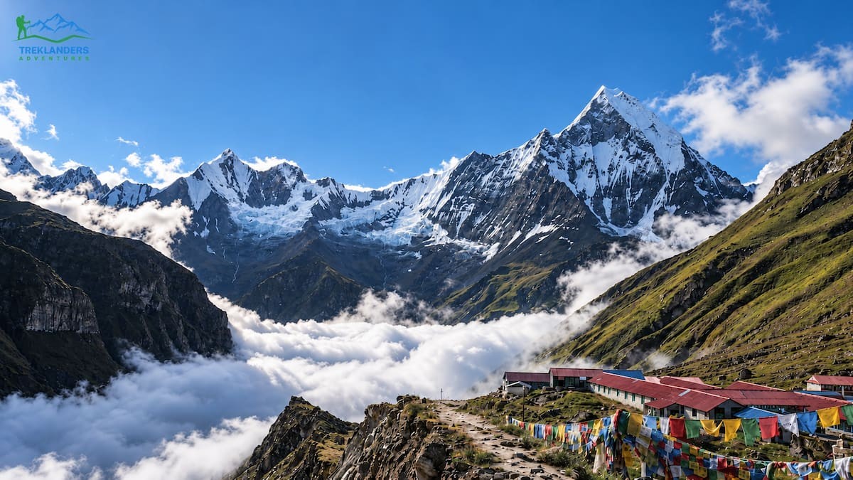
If your travel dates can't move and Manaslu isn't realistic for this trip, Nepal still has a wide range of trekking regions that this flood has not touched at all. The Everest region sits in a completely different river system and has seen no disruption from either the August or October floods, whether you're drawn to the classic Everest Base Camp Trek, a faster 12-day itinerary, or a route that returns by helicopter to save a few days on the way out.
The Annapurna region is similarly unaffected. The full Annapurna Circuit and its shorter 13-day version, along with the ever-popular Annapurna Base Camp Trek and its faster 7-day option from Pokhara, all run on road and trail networks well away from the Gorkha flood zone.
If a quieter, culturally rich alternative to Tsum Valley is what drew you to Manaslu in the first place, Upper Mustang in the Mustang region offers a comparable Tibetan Buddhist atmosphere, walled monasteries, and genuinely remote terrain, without any connection to the Budhi Gandaki watershed. Trekkers drawn to the Manaslu area specifically for its combination of high passes and restricted-area solitude might also look at the Nar-Phu Valley with Thorang-La Pass, which shares that same off-the-beaten-path character.
For those who'd rather avoid the Rasuwa corridor entirely given the August disaster there, note that even Langtang Valley trekking is being actively reorganized around alternative approach routes that bypass the damaged Syabrubesi road, and operators are closely tracking that recovery separately from this Manaslu situation. If distance from any flood-affected river system is your top priority this season, the far eastern Kanchenjunga Trek and the remote western Upper Dolpo Trek sit in entirely separate watersheds and have reported no weather or flood-related disruptions this year.
Shorter options exist too, if your trip window is tight. The Mardi Himal and 9-day Mardi Himal routes, the Ghorepani Poon Hill Trek, and the Mohare Danda Trek all deliver genuine Himalayan scenery in under two weeks, all well outside the current disaster zone. For something physically harder but logistically straightforward, Mera Peak and Island Peak climbing expeditions run through the Khumbu, again entirely unaffected.
If you're set on seeing the Manaslu massif this season no matter what, a helicopter tour is worth asking about once flight paths and weather stabilize, since it offers mountain views without requiring the ground route through the damaged corridor at all. It's not a substitute for walking the trail, but it's a genuine option if your schedule simply can't accommodate a delay. An Everest Heli Tour works on the same principle for travelers who'd rather see the Khumbu's giants from the air than commit to a multi-week ground itinerary this season.
Trekkers who were specifically chasing the high-pass, low-crowd combination that Manaslu and Tsum offer have a few more solid options worth comparing. The Everest Three Passes Trekking route crosses three separate high passes above 5,000 meters and sees a fraction of the traffic that the standard Everest Base Camp trail does. Gokyo Valley Trekking delivers a similar sense of alpine solitude around a chain of turquoise glacial lakes, with an 11-day version available for travelers on a tighter schedule. On the Annapurna side, the Tilicho Lake Base Camp Trek, which climbs to one of the highest lakes in the world, and the Khopra Ridge and Khair Lake Trekking route both offer genuine remoteness without the restricted-area permit complexity.
If culture and village life were the bigger draw for you than altitude, the Helambu Trek and the longer 15-day Langtang Gosaikunda Lake Helambu Trek combine Tamang and Sherpa village culture with manageable altitude gains, and both currently run on trail sections unaffected by either this flood or the August disaster further north. A good trekking operator should be able to walk you through which of these fits your original trip goals most closely rather than just offering the first available alternative on the shelf.
Don't treat any secondhand claim about Manaslu or Tsum Valley being "basically fine" at face value right now, no matter how confidently it's stated online. The facts, as of October 13, 2026: a dry landslide blocked the Budhi Gandaki on October 11, the resulting flood destroyed six bridges and dozens of houses in Chumnubri and Dharche, four to five people remain missing, and Nepal's disaster authority has told residents and by extension trekkers to stay away from the riverbank corridor between Machhakhola and Lokpa until conditions are reassessed. The upper Manaslu Circuit from Nyak Phedi to Larkya La has not been physically damaged, but it's currently unreachable because the access route is compromised.
This is a fluid situation, and the single most useful thing you can do is get your information from a source that's actually in contact with people on the ground in Gorkha, rather than relying on a blog post, however current, as your final word. A good trekking agency should be able to tell you, with a specific date attached, when they last confirmed conditions at Jagat, Lokpa, and the Soti and Machhakhola crossings. If they can't answer that question specifically, that's a signal worth paying attention to.
Keep an eye on a few concrete signals rather than general reassurance. A genuine reopening will come with a named date, a statement from either the Chumnubri Rural Municipality or Nepal's Department of Tourism, and confirmation that both the Soti and Machhakhola crossings have working replacement structures rather than informal workarounds. If a trekking company tells you the route is "probably fine" or "should be okay by your travel date" without pointing to any of those three things, treat that as a sales pitch rather than a safety assessment. The difference between those two kinds of answers is, quite literally, the difference between informed decision-making and guesswork.
Whichever route you end up choosing this season, whether that's waiting out the Manaslu and Tsum Valley closure, shifting to Everest or Annapurna for now, or exploring something further afield like Kanchenjunga or Upper Dolpo, the most important decision you'll make is choosing an operator who tells you the truth about current trail conditions instead of just telling you what you want to hear. Nepal's mountains aren't going anywhere. There's no version of this where waiting a season, or a month, or even just a couple of weeks for official confirmation costs you anything except a short delay. Rushing into a restricted river corridor that's still under an active evacuation advisory costs considerably more than that.

Explore Nepal’s top 10 travel destinations for 2027, featuring breathtaking Himalayas, rich culture, wildlife, and unforgettable adventures.
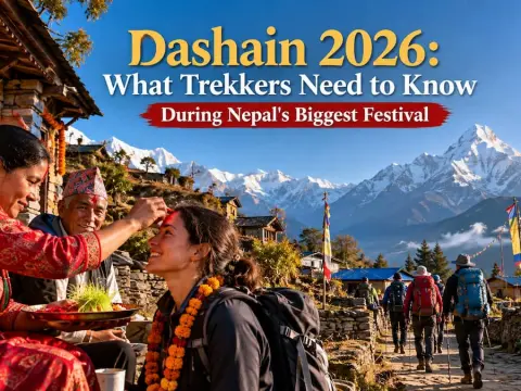
Trekking in Nepal during Dashain 2026? Explore essential travel tips, festival experiences, and Himalayan adventures.
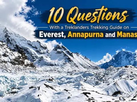
Discover insider tips from an experienced Treklanders guide on Everest, Annapurna, and Manaslu trekking, including safety, packing, and expert advice.



