10 Best Less Crowded Treks in Nepal: Hidden Himalayan Trails for 2026
18 May 2026
Discover Nepal’s best hidden treks with peaceful Himalayan trails, authentic culture, and breathtaking mountain views away from the crowds.

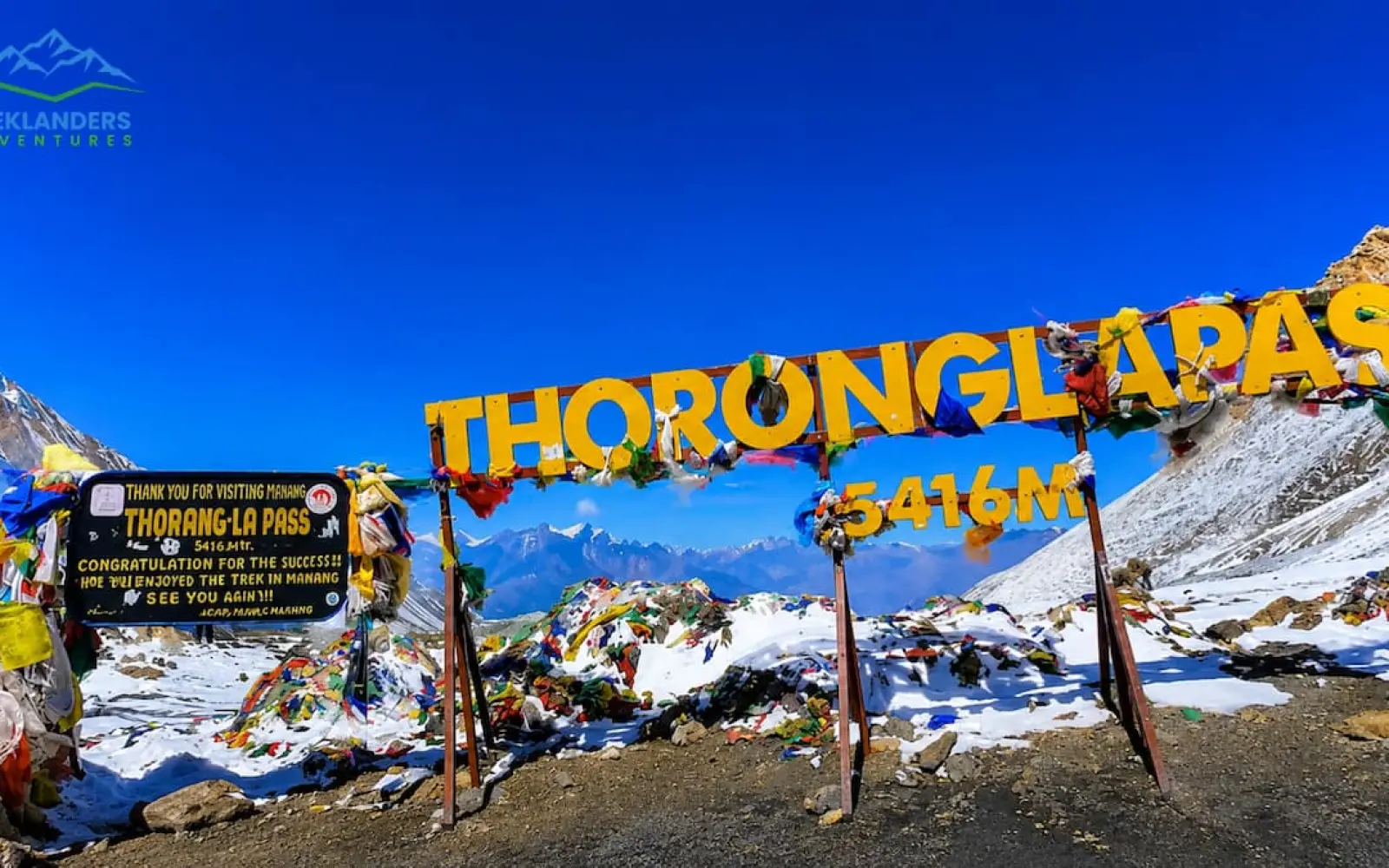
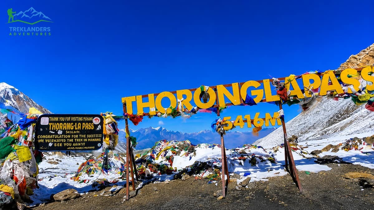
Thorong La Pass is 5,416 meters (17,769 feet) high on the Annapurna Circuit Trek in Nepal. It is the highest of the trekking routes and one of the most famous high passes. Thousands of trekkers take on it each year.
Not everyone makes it. All you need to know, covering the route, the risks, the kit, the strategy for acclimation, and the pragmatic decisions that separate a hit from a retreat. If you are planning to trek over Thorong La, read this first.
Thorong La Pass (also Thorung La) is located in the Mustang District of northern Nepal. The pass links the Manang Valley to the east with Muktinath to the west. Crossing the pass is the major challenge of the Annapurna Circuit Trek, which circumnavigates the whole Annapurna range.
The pass is not a technical climb, and you don't require ropes, crampons or mountaineering experience. Yet, the altitude is pretty serious: at 5416m, there's about half as much oxygen in the air as at sea level. And your body notices it in every step.
Most trekkers approach from the village of Manang (3,519m) after trekking for a few days up the Marsyangdi Valley. Stay overnight at Thorong Phedi (4,450m) or High Camp (4,850m) the night before and set off early in the morning, reaching the pass by mid-morning. Descend 1,600 meters to reach Muktinath (3,760m), a pilgrimage site for both Hindus and Buddhists.
The crossing itself usually takes 6 to 9 hours in total. It takes 2 to 4 hours to go from High Camp to the Thorong La pass, and 2 to 3 hours to go from the pass to Muktinath. How long it actually takes you depends on the weather and how well you have acclimatized.
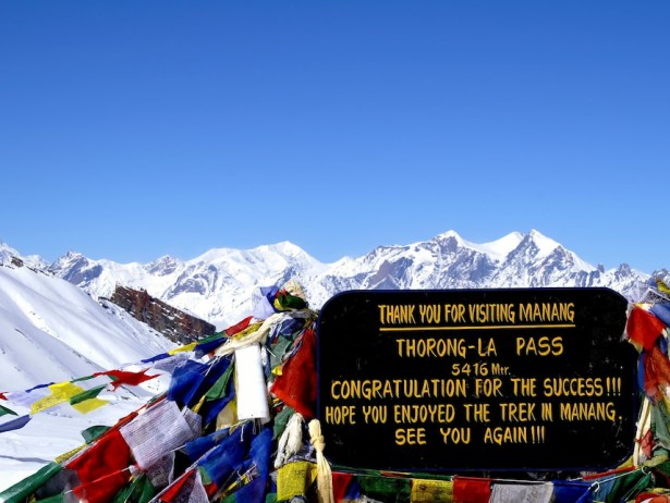
The pass is closed during thick snowfalls and reopened when conditions improve. The best trekking seasons are October-November and March-May, with October/November providing the best visibility and most settled conditions, and March-May being warmer, while occasionally being plagued by afternoon thunderstorms. Knowledge of what is required at Thorong La is the logical place to start.
Most trekkers are held back by altitude sickness, rather than distance. The Annapurna Circuit Trek is one of the most well-used multi-day walks in Nepal. It is approximately 160 to 230 km, given the exact route and cut edges taken along the way.
The Thorong La pass is situated right in the middle of the trek, at the identity crisis of the experience. Before it is a lesson, after it is an incentive. For comparison, Thorong La is higher than Everest Base Camp at 5,364 meters.
You're not climbing a technical peak, just trekking higher than one of the world's most famous trekking destinations. There is approximately 53% of the oxygen available at sea level in the air at the top of the pass. Your cardio-vascular system must work ten times harder just to keep you going, let alone shovel you uphill with a pack.
The Thorong La Pass trek, also known as the Annapurna Circuit, takes trekkers around the entire Annapurna massif, reaching the summit at Thorong La Pass, from where one can see the valley of upper Manang, home of Tibetan Buddhists, down to the Hindu pilgrimage site of Muktinath, and the Kali Gandaki Valley, the world's deepest river gorge, before heading to Pokhara. The standard route follows the Marsyangdi River valley from Besisahar, which is ideal for gradual acclimatization.
The journey begins with a scenic drive from Kathmandu to Besisahar, covering approximately 175 kilometers and taking around six to seven hours. Besisahar serves as the official gateway to the Annapurna Circuit, where trekking permits are checked before setting off into the hills.
From Besisahar, the trail follows the Marsyangdi River northward through lush subtropical landscapes, terraced farmlands, and traditional Gurung villages. The trail climbs steadily, offering the first glimpses of snow-capped peaks ahead.
The route continues from Dharapani to Chame at 2,650 meters, the district headquarters of Manang. Pine forests line up the trail, and the valley begins to narrow as the landscape transitions from green lowlands to alpine terrain.
The path from Chame to Upper Pisang provides views of Annapurna II and goes through apple orchards. The northern bank trail that passes through Ghyaru offers better mountain vistas, while the southern route via Hongde is easier.
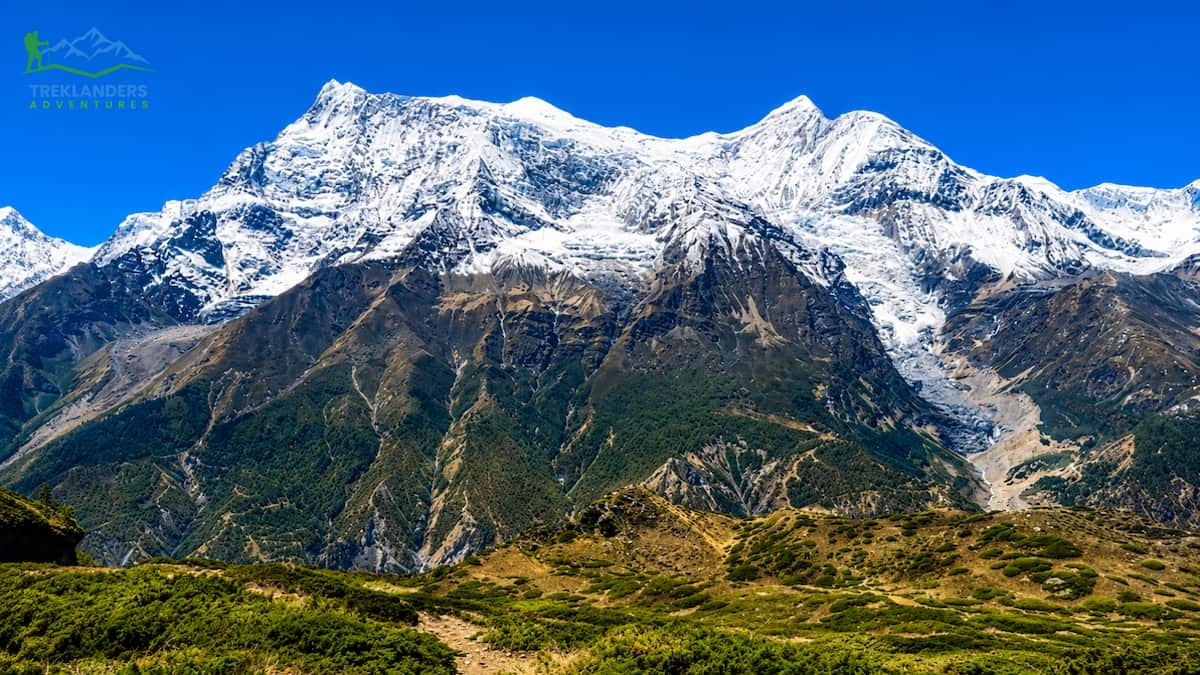
From Mungji, the trail proceeds past the charming yet somewhat concealed village of Braga (Bryanga) at 3,475m to the nearby Manang at 3,500m. Manang village serves as a cultural center where the Manangi people reside, recognized for their architecture influenced by Tibetan styles and their Buddhist monasteries.
When trekking above 3,500 meters, it's crucial to dedicate a day for acclimatization, engaging in short walks while enjoying the stunning views surrounding the village. This rest day is necessary for a safe passage across the high pass ahead.
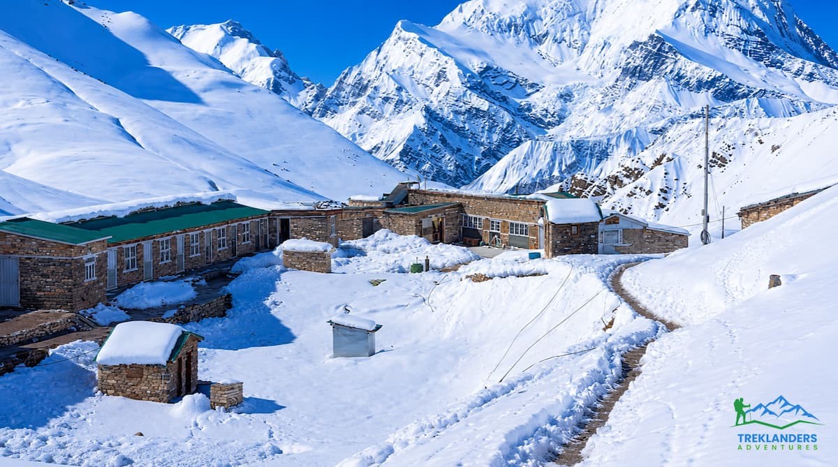
After a two-hour ascent, the path descends to cross the river before rising again to reach Thorong Phedi, which takes around five hours in total. Trekkers will spend the night at a guesthouse in Thorong Phedi to recuperate.
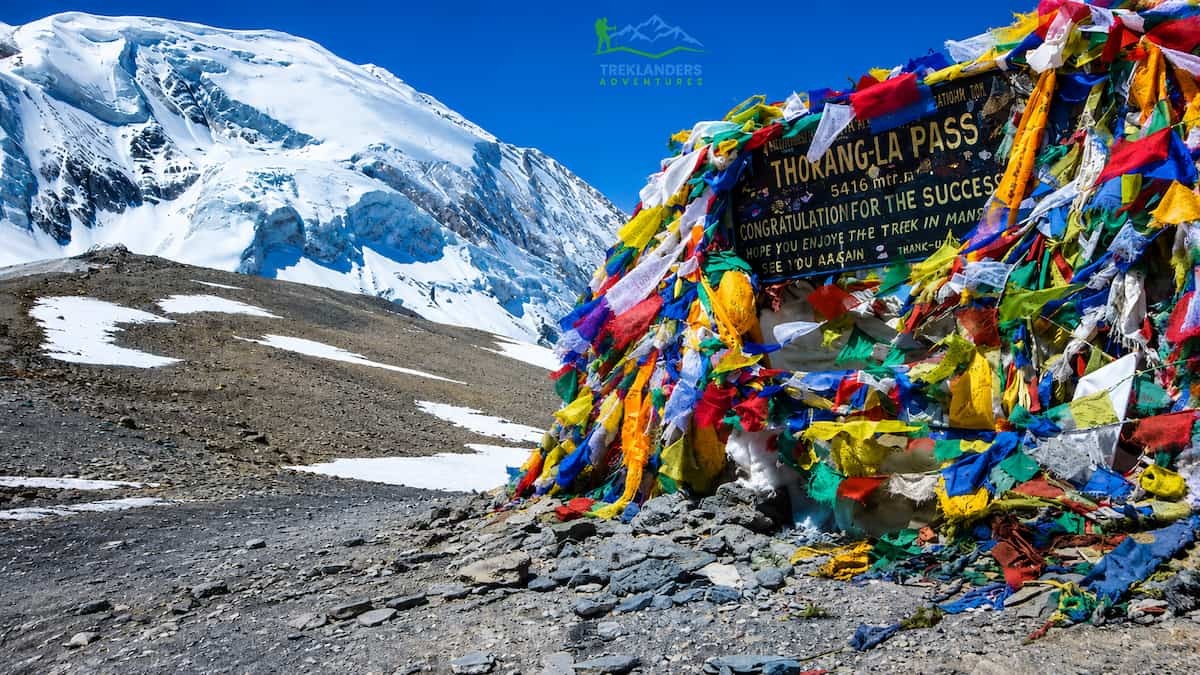
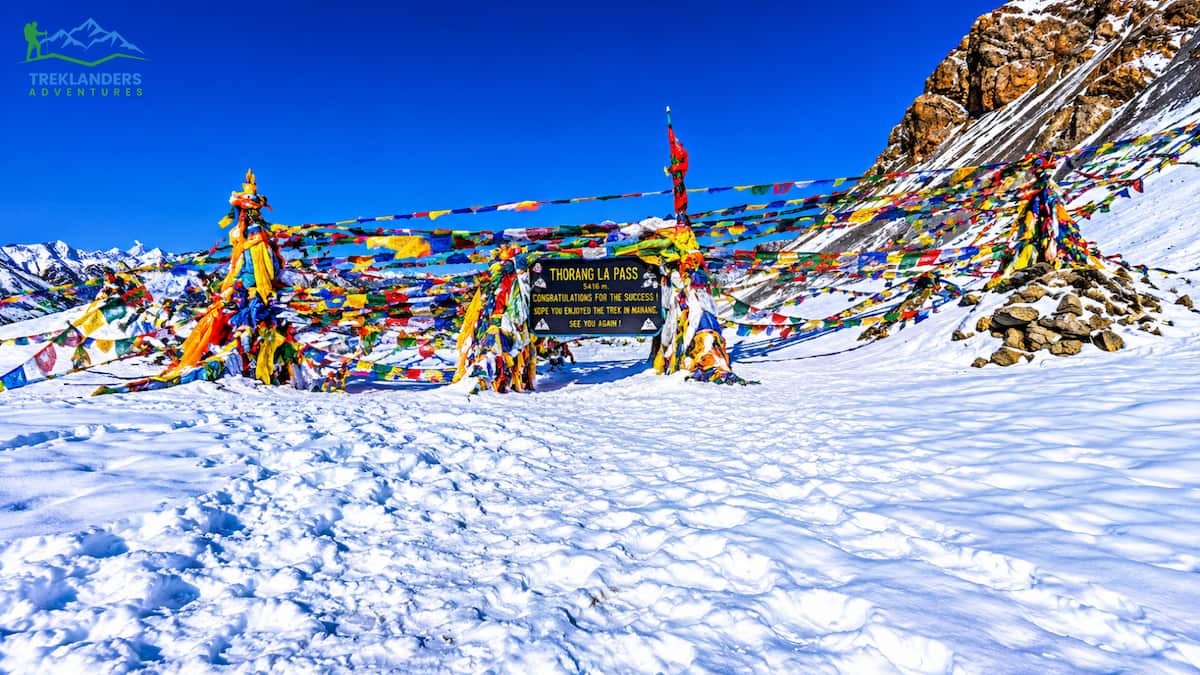
This trek is lengthy, requiring an early start at 4 AM, to reach the pass between 9 and 10 AM, as strong winds typically arrive after midday and can significantly impact the journey. The path ascends steeply along a well-defined trail. After approximately four hours of climbing, trekkers arrive at the pass, which is adorned with stone chortens and prayer flags, and is rewarded with breathtaking panoramic vistas. A further four-hour descent then leads to the sacred town of Muktinath.
The trail drops into the Kali Gandaki gorge, known as the deepest gorge on the planet, nestled between Annapurna (8,091m) and Dhaulagiri (8,167m). The dry, windswept terrain of this rain-shadow valley has a distinctly Tibetan feel.
From Jomsom, trekkers have the option to either fly or drive to their next destination. Many opt to trek further south to Tatopani, which is renowned for its natural hot springs, before concluding their journey in Pokhara. Some trekkers also decide to take a flight from Jomsom to Pokhara, depending on the weather conditions, although flights can be subject to delays or cancellations.
The Thorong La Pass trek stands out as one of Nepal's premier adventures, taking participants through two river valleys, along historic trade routes, and over one of the highest trekking passes globally, all set against the stunning backdrop of the Annapurna Himalayas.

Acclimatization is what causes you to either summit or be evacuated off the pass. You cannot speed it up. Your body takes time to increase red blood cell production and adjust to lower oxygen levels.
The standard principle of high-altitude trekking is not to go higher than 300-500m per day once above 3,000m, and have a day to rest after every 3 to 4 days. The Annapurna Circuit route applies this rule if you want to walk slowly.
Here is the specific acclimatization schedule most trekkers follow
Take your rest day activity off by hiking up to one of the lakes above Manang (Gangapurna Lake or Ice Lake) to spend the day around 4,000m - 4,600m. It's the single best form of acclimatization you can do. Seriously. Just do it.
If you have symptoms. Headache, nausea, and poor sleep in Manang are all indications to add a night at Yak Kharka. Don't push on to High Camp if you're symptomatic.
Altitude sickness is dehydration. Drink a minimum of 3-4 liters per day leading up to the crossing.
Headaches and fatigue are normal at altitude. These symptoms mean you need to descend severe headache that doesn't resolve with ibuprofen, inability to coordinate, confusion, sound of bubbling or rattling in your chest, inability to walk a straight line, repeated vomiting. These are signs of HACE and/or HAPE, both deadly.
It makes you breathe faster, so you take in more oxygen. Take 125mg to 250mg twice per day. Start two days before you reach your highest altitude. Ask your doctor about it before your trip and get a prescription. Side effects include urinating frequently and tingling in your fingers/toes. Diamox also makes soda taste flat.
Do not use Diamox to push through symptoms you should be descending from The drug reduces symptoms; it does not prevent serious altitude illness in someone who is genuinely sick.
One more thing: fitness level has less to do with altitude tolerance than most trekkers expect. Highly fit athletes get altitude sickness. Older trekkers with no special fitness background cross the pass without issues. You cannot train your way to altitude resistance. Acclimatization time is the variable you control.
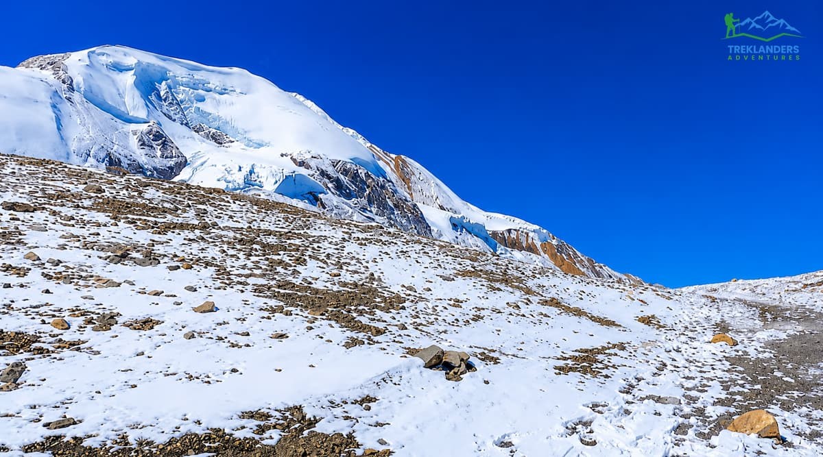
Get an early start. Seriously, sleep isn’t an option.
Aim to leave High Camp between 3:30 am and 5:00 am at the latest. Here’s why:
Inclement afternoon weather. Thorong La is infamous for the afternoon winds. By lunchtime, the gusts on the pass can be wicked. Countless trekkers are sent retreating due to the wind, not their physical conditioning or lack of acclimatization.
Thorong La poses afternoon clouds as well. During the trekking season, mostly around spring months, afternoon storms bring snow, low visibility and slick trail conditions. The longer you spend on the mountain, the more time you spend exposed to the elements.
Congestion/trail conditions. Hundreds of trekkers make the crossing in peak season. Start early to get a jump on the pack. This is important because you’ll hit some narrow stretches of trail that become bottlenecks when there’s ice present.
Time to descend. Muktinath has food, fire, and shelter. Ideally, you want to arrive with some daylight left. If you cross Thorong La around 8:00 to 9:00 am, you’ll arrive in Muktinath in the early afternoon.
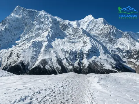
Breakfast will be packed for you at High Camp, or you can ask for some of their thermos’d nighttime tea. Either way, eat before you leave. You may not feel hungry, but your body will be burning through calories quickly like an Olympian in a downhill ski race.
Headlamp, with new batteries, as it gets pretty dark around High Camp, and the trail from High Camp to the Thorong la pass is uneven, and the trail is heavily used. A headlamp is necessary.
What the trail looks like in the dark: In prime season, you think it is best to leave High Camp before the sun rises. This will result in your leaving with other climbers, and a convoy of headlamps will line the route in front of you; it is rather comforting yet somewhat unnerving. The stars on a crystal-clear night at 5,000 meters in October are breathtaking.
The cold is genuine, and at High Camp in the early morning temperatures often plummet to -15 °C or even lower. You must consider everything you put on.
The number one error is beginning your ascent too rapidly. In darkness, the High Camp trail appears much easier than it is. Those who race along for the first kilometer usually end by collapsing exhausted in the snow for two hours Because of this. Slow and easy is not a slogan up here.
It is a fact of physiology. Breathe ten to fifteen times on every step if necessary. Your pace should be dictated by your respiration rather than vice versa.
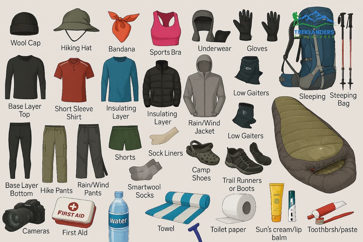
Thorong La is not a climbing destination per se, but you will find yourself at 5,416 meters anywhere-from-brisk-to-life-threatening cold and windy conditions. Be prepared.
Lowest temperatures on the pass are usually between -10° C and -20° C early in the morning during peak season. Factor in wind chill.
1. Trekking poles: Very important. They save your knees on the 1,600-meter downhill and will give you an extra hold on the ice upward.
2. Micro spikes or crampons: Needed after recent snowfall. The trail is icy between High Camp and the pass. Several of the lodges at High Camp rent them (look for a shop). Call the night before to see what the conditions will be.
3. Sun protection: The ultraviolet radiation is very high at altitude. 5,000 m of snow is burning your skin and your eyes.
4. Snacks and water. Always have at least 2 liters of water and high-calorie snacks in your pack. Great options are energy bars, nuts, and chocolate. Your hunger will be diminished by altitude but eat everything.
5. Basic first aid: Ibuprofen for headaches, blister treatment, and any prescription medications.
Travel light. Every extra kilo you take with you costs you dearly up high. When you are submitted, a porter will carry your main pack as you move to the next lodge. Over the pass itself, some trekkers also carry a daypack with essentials such as a camera, hat and sunblock as they walk, with their porter taking their main carry at a more leisurely pace.
1. AMS is the most common problem: Headache, nausea, tiredness, poor sleep, and other symptoms. Mild AMS (headache alone) can be treated by resting, hydrating, and using ibuprofen. Don't ascend if you have symptoms. Descend straight away if symptoms get worse.
2. The mental challenge: The walk from High Camp to the pass can be daunting. Climbing hills, in the dark, in the cold, for two to four hours. It's slow progress. Many people will tell you that they are doubting themselves and getting frustrated. That's common, and you will too.
If you do, tell yourself at mile markers and concentrate on your breathing.
3. Leave your group: If you are doing the hike alone, note that the trail in the dark can be difficult to follow in heavy winter snow. Stay on the main trail. In peak season, follow the stream of headlamps.
4. Injury on the descent: The descent to Muktinath is very steep and long. KNEES take serious punishment. Take trekking poles. Go slowly. Stop if you experience sharp pain in your knees. Twisted ankles are common on rocky descent trails.
5. High Camp tea house full: In October, this place fills early. Come before 2 pm to get a bed. If the main lodges are full, their small lodges will take overflow. If all are full, it is better to go down to Thorong Phedi and come back the next morning than camping outside.
6. Turning back: Between 10-20 percent of trekkers who reach the pass will turn back. If you turn back for weather or illness, you will not regret it and have made a great decision. The other option is to descend all the way back to Manang and then continue on the "shortcut" road south to Besisahar. No pass crossing is worth a medical evacuation.
To trek the Annapurna Circuit and cross Thorong La, you need two permits:
Necessary for all trekkers on the Annapurna trail. Available at the Nepal Tourism Board office in Kathmandu or Pokhara, or at the Besisahar checkpoint.
Necessary for trekking in the area. Can be purchased from the same offices as the ACAP permit. Checks are carried out on both passes at various points throughout the journey.
Keep them with you at all times.
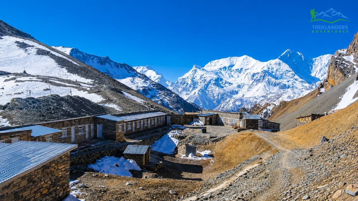
Tea house lodges can be found along the Annapurna circuit. Rooms are fairly basic but comfortable, and many offer reduced or free accommodation if you buy your meals there, a practice which is commonly followed.
Food can generally be bought, although prices and availability rise and fall with altitude.
At higher altitudes, like High Camp, there will be a much-reduced selection of food and transport of purely provisions will be more difficult.
A licensed guide is recommended not only for navigation and logistics but also for altitude. Hiring porters to carry your main pack will make the trek easier.
The use of local staff also supports the mountain economy and enhances safety for solo trekkers.
Microspikes are occasionally rented outside High Camp when snow or ice is present.
Cost will be determined by the number of days on trek, places of stay, food, transportation and if you are to employ a guide or porters.
The average time for most trekkers to do the Annapurna Circuit is from 12 days to 21 days.
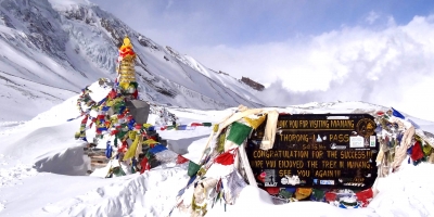
Thorong La has also been the site of deaths. Most are caused by altitude issues and can easily be avoided. Please be aware of the safety measures before going.
In Manang HRA clinic has free lectures on altitude sickness daily during the trekking season. Book in for one on your acclimatisation day. Pulse oximeter readings are also available. At altitude, a blood oxygen saturation (SpO 2) of below 80% at Manang should be taken seriously; below 70% at altitude should raise concern about descent.
In a medical emergency, helicopter rescue is available but expensive. Given location and conditions, prices range from US$3,000 to US$6,000 or higher. Make sure to travel with insurance coverage for high altitude helicopter evacuation. Many standard travel insurance packages will not include trekking above 4,000 m. Contact your insurer to verify coverage before your trip.
Your lodge owner is your first point of contact. They have experience with altitude emergencies and connections to helicopter services. The HRA clinic at Manang also has also Clinic and can give you advice by phone.
There are streams on the route, always a potential source of hydration. All water should be filtered using purification tablets or filters. Bottled waters are available at lodges, but they generate excess plastic waste in a delicate mountain setting.
Pack a filter or purification tablets and fill from the streams instead. Staying well hydrated is one of the best things you can do to prevent altitude sickness.
During good weather, the main trail has good cairn and prayer flag signs, although navigation in deep snow or whiteout is effectively impossible.
If the snow and/or whiteout drastically reduces visibility, hunker down and wait it out. It is not safe to press forward while in a whiteout.
Several people trek the circuit alone and cross the pass each year, though it is a gamble. It is simple if you acclimatize and depart for a good time. The only problem with trekking on your own is that there is no one checking your quality of life. If you are uneasy about this, employ a guide from a trusted agency.
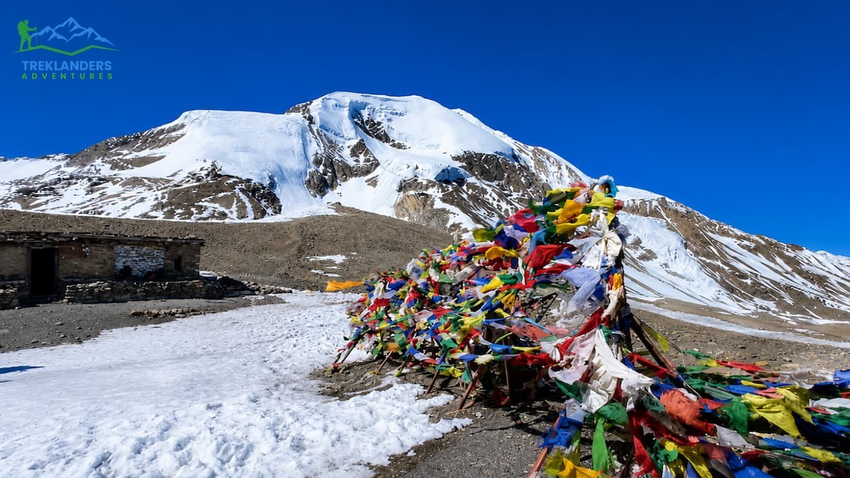
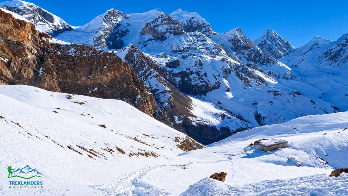
There is a certain feeling you have when you cross Thorong La with six hours' worth of strenuous cold, thin air behind you. It is not inflated. It is at peace. The pass itself is a broad saddle. Prayer flags flutter along the ridge. A stone cairn stands at the summit.
On fine days, there are views of the peaks of the Annapurna massif to the south and the brown mass of the Mustang valley extending away to the west. The difference is obvious: green for as far as you can see behind you in the Manang Valley, and high, high desert of the Tibetan plateau in front. There's a seasonal Tea House up top.
There's tea, instant noodles, and chocolate bars. They are expensive.
Pay them cheerfully. The people who run it brought them up there. 20 to 30 minutes maximum at the top. Take your pictures. Hang your prayer flag if you've brought one.
The head of the pass is not a place to stay; it's a passage. The wind and the cold will welcome you to get going. The climb to Muktinath is very steep at first, often icy. The path levels out onto a broad, rocky slope after a kilometer or two, and Muktinath becomes visible long before you are near. It is very motivating to see that.
Everyone will want food, tea, and warmth on arrival in Muktinath (probably in that order). Most trekkers stay overnight. The Muktinath temple is definitely worth visiting. Pilgrims arrive from all over South Asia to make their prayers at the eternal flame and the 108 waterspouts. After days of silent mountains, the colour and noise of a pilgrimage site is a different universe.
A few final points that don't neatly fit below. But matters when you are actually out on the trail.
ACAP and TIMS permits can be purchased in Kathmandu at the Nepal Tourism Board on Bhrikuti Mandap. Unlike elsewhere, online booking is less reliable than purchasing it from Bhrikuti Mandap.
There are ATM's in Besisahar and Chame, though not always dependable further up the trail. Manang's ATM runs out of cash regularly in October. Bring out all the cash your whole trekking trip will require (to be withdrawn in Kathmandu or Besisahar).
Speak to trekkers who have just come down the route. Converse with the lodge-owners of Manang about the last time the 'pass' was crossed. Heavy powder loads the path, and it depends on whether 'Microspikes' are required.
Dal bhat (rice, dal, and vegetables) is the traditional meal for a reason. It is high-calorie, hot, and in most places in the hills, you can get as much of it as you want for a fixed price. Have two or three bowls of it.
Batteries run down quickly in the cold. Place your phone, camera, and backup battery in an inner pocket close to your body overnight and while it's cold during the morning hours.
Your body's internal clock, your fitness and metabolism are individual to you. The chap who passed you on the trail at 5:00 am might have to stop twice as often as you do now. Do your own walk.
Some of the world's most heavily trekked terrain is found in Annapurna. Although the trail is cleaner than it was 10 years ago, it still maintains some waste; helping it look clean can be as simple as packing out your own trash and not throwing stuff. Please use the toilets in the lodges and leave the pass cleaner than you found them.
The views from the pass are incredible. Snow-capped peaks, prayer flags flapping in the breeze, early morning light. Keep your camera in an inner pocket while you're climbing, so the batteries stay warm. Cold kills camera batteries fast. When you finally pull your camera out at the pass, you only have about 20 to 30 minutes before your cold-damaged battery starts to fail. Plan your shots, As a result.
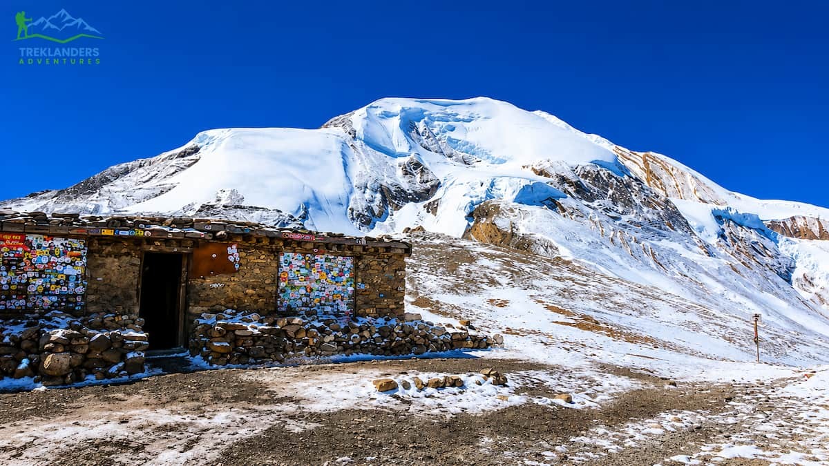
Thorong La Pass is hard. It is also achievable for any reasonably fit person who acclimatizes properly, starts early, carries the right gear, and respects the altitude. Thousands of people cross it every year. The ones who fail are almost always the ones who rushed their acclimatization or started too late.
Take your time on the approach. Sleep well at the High Camp. Leave before dawn. Eat before you go. Drink more water than you think you need. Turn back without shame if your body tells you to. And if everything lines up, which it usually does for trekkers who prepare honestly, you will stand at 5,416 meters with the Annapurna's behind you and the Mustang plateau opening ahead, having earned one of the most satisfying experiences the Himalayas offer.
The pass will be waiting.
Discover Nepal’s best hidden treks with peaceful Himalayan trails, authentic culture, and breathtaking mountain views away from the crowds.
Complete fitness and training guide for the Everest Base Camp Trek, including cardio, strength, altitude preparation, endurance, and hiking workouts.
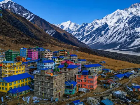
Experience the stunning final stretch to Kyanjin Gompa with breathtaking Himalayan views and unforgettable Langtang Valley scenery.



