
10 Questions With a Treklanders Trekking Guide on Everest, Annapurna and Manaslu
12 Oct 2026
Discover insider tips from an experienced Treklanders guide on Everest, Annapurna, and Manaslu trekking, including safety, packing, and expert advice.

The Trekking Agencies’ Association of Nepal (TAAN) issued a new safety advisory on 22 October 2026. It covers three of the most searched trekking areas in the country right now: the Langtang region, the Manaslu Larke Pass trek, and the Tsum Valley trek. If a permit, a flight, or a deposit of yours is tied to one of these trails, the advisory changes your plan in a different way for each region.
Here is the short version. Langtang, Kyanjin, and Gosaikunda are safe and open for trekking. The Manaslu Larke Pass trek is accessible again after partial repairs, and you should walk it with caution. The Tsum Valley trek is closed because a cantilever bridge collapsed, and TAAN expects it to reopen in about a week.
This guide explains what each line of the advisory means on the ground. It follows the route of the Langtang Valley Trek and the 20 Day Manaslu Circuit with Tsum Valley Trek, both operated by Treklanders Adventures, so you can see where the damage and the repairs sit along the trail. Conditions change fast in the Himalayas after a flood, so treat this page as a snapshot of 22 and 23 October 2026 and confirm your dates with a guide before you travel.
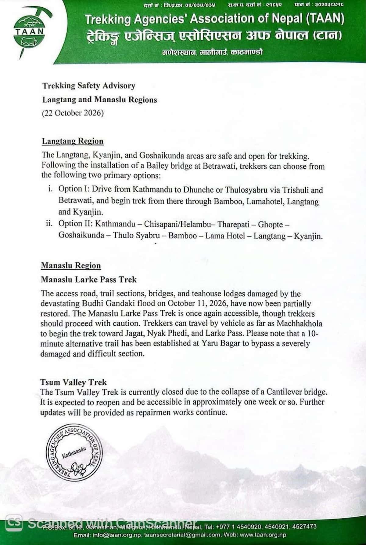
TAAN is the trade body that represents licensed trekking companies in Nepal. Its advisories carry weight because member agencies share field reports from guides, porters, and lodge owners, and then publish one consolidated position. The 22 October document is titled Trekking Safety Advisory, Langtang and Manaslu Regions, and it has three parts.
The first part deals with Langtang. It says the Langtang, Kyanjin, and Gosaikunda areas are safe and open. It also credits a newly installed Bailey bridge at Betrawati for the reopening of the standard road approach.
The second part deals with the Manaslu Larke Pass trek. It describes damage to the access road, trail sections, bridges, and teahouse lodges from the Budhi Gandaki flood of 11 October 2026. It then reports that these have been partially restored, and it asks trekkers to proceed with caution. It adds a practical detail: a 10-minute alternative trail now exists at Yaru Bagar to bypass a severely damaged and difficult section.
The third part deals with the Tsum Valley. The trek is closed at present because a cantilever bridge collapsed. TAAN expects the valley to reopen in approximately one week or so and promises further updates as repair work continues.
Two words in that summary matter most. “Partially” tells you the Manaslu trail is not back to its pre-flood condition. “Approximately” tells you the Tsum Valley reopening date is an estimate, not a promise. Plan around both words. For the background on the flood itself, read the Treklanders report on the Budhi Gandaki flood and its effect on Manaslu and Tsum Valley routes.
The advisory is a single page, and it does not cover everything. It gives no bridge-by-bridge list, no lodge capacity figures, and no date for the Tsum Valley beyond an estimate. It also says nothing about regions outside Langtang and Manaslu. Use it as a baseline, then ask your agency for detail on the stages you plan to walk. A guide who walked a stage within the last few days gives you the most reliable answer.
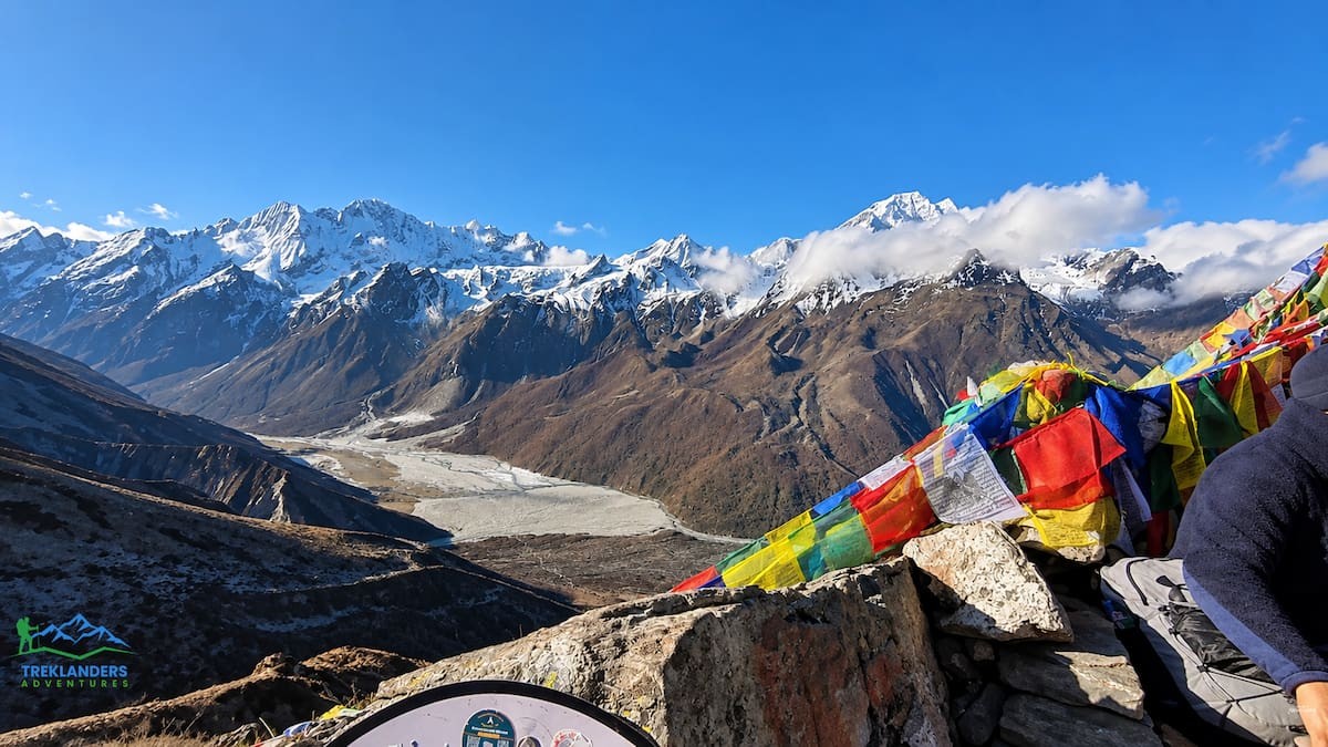
Langtang is the closest big mountain valley to Kathmandu, and it sits inside the first Himalayan national park Nepal ever established. The advisory confirms that the valley, the Kyanjin Gompa area, and the Gosaikunda area are open. That puts the whole Langtang region trek menu back on the table, from short valley walks to the longer loops that cross into Gosainkunda and Helambu.
The reopening hinges on the Bailey bridge at Betrawati. A Bailey bridge is a prefabricated steel bridge that crews can assemble quickly after a river takes out a permanent crossing. It carries vehicles, which matters here because most Langtang itineraries begin with a road journey north from Kathmandu. With the bridge in place, trekkers have two primary ways to reach the trail.
The first option is the direct road approach. You drive from Kathmandu to Dhunche or ThuloSyabru through Trishuli and Betrawati, then start walking from there. The trail runs through Bamboo, Lamahotel, Langtang, and Kyanjin.
This is the faster choice. It suits trekkers on the 7-Day Langtang Valley Trek and the 9-Day Langtang Valley Trek, where every day counts and the schedule leaves little room for a long walk-in. The standard Treklanders itinerary for the Langtang Valley starts in Syabrubesi, so ask your guide which trailhead applies to your departure date. The advisory names Dhunche and ThuloSyabru as the drive-to points, and your guide will match the plan to the road as it stands on the day.
The second option adds a walking approach before you ever reach the Langtang valley. The route runs from Kathmandu to Chisapani or Helambu, then to Tharepati, Ghopte, Gosaikunda, Thulo Syabru, Bamboo, Lama Hotel, Langtang, and Kyanjin.
This option takes more days and gives you more scenery. You cross high ridgelines, pass the sacred lake area at Gosainkunda, and descend into the Langtang valley from the side. Trekkers with ten to fifteen days to spare will find it closer to the spirit of the 15 Day Langtang Gosaikunda Lake Helambu Trek than to a standard out-and-back valley walk. It also lets you acclimatize gradually, because you gain altitude over several days before the final push toward Kyanjin.
If you want to test your legs before committing, the Helambu Trek and the Gosainkunda Lake Trek cover parts of the same ground. Both are listed under the Langtang region, and both match the corridor named in Option II.
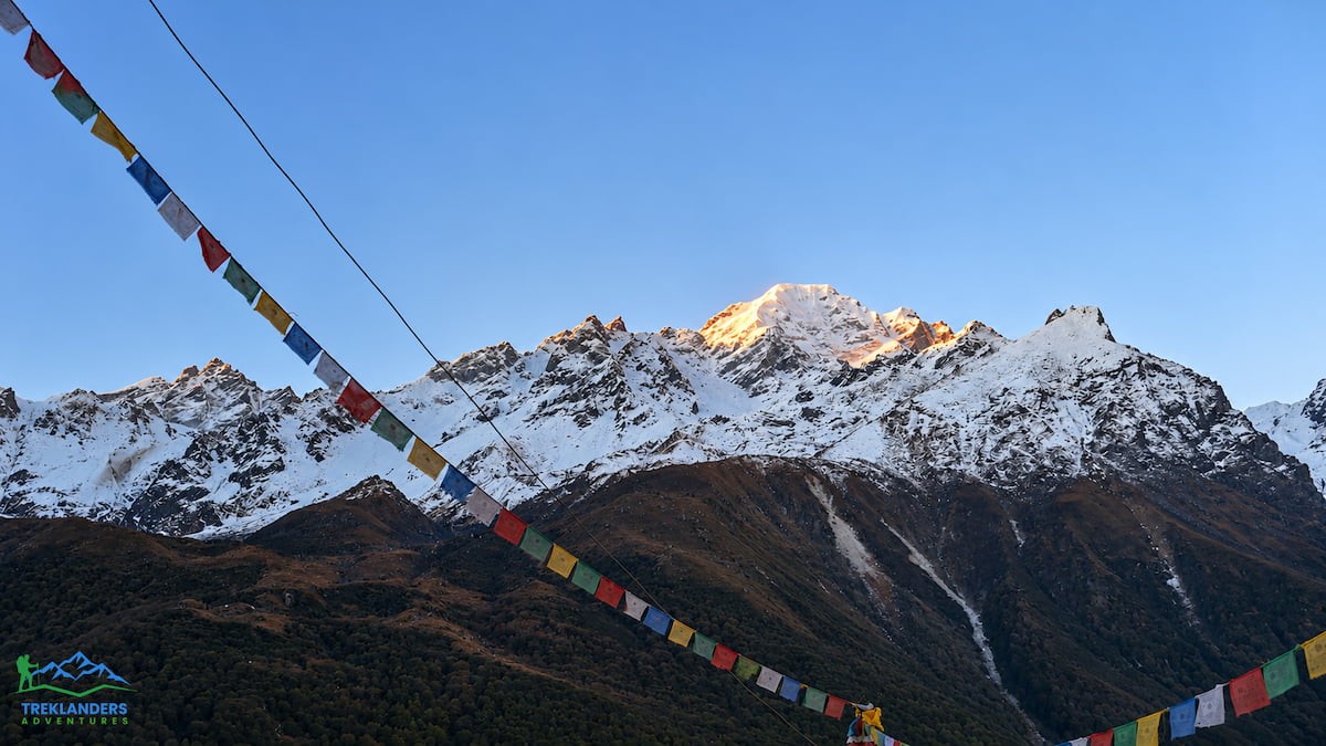
Numbers on a map do not tell you what the walk feels like. The following account follows the Treklanders Langtang Valley itinerary from the trailhead to Kyanjin Gompa and back. Use it to judge which stages fit your fitness and your calendar.
Your first two days are in Kathmandu, a city at 1,365 meters. On arrival, your guide briefs you on the trail, the lodges, and the daily routine. The second day is a tour of the heritage sites in the valley, and it gives your body a quiet day before the climbing starts. If you arrive early, the Kathmandu full day sightseeing tour fills the gap well.
On day three you drive north. The standard itinerary covers about 138 kilometers to Syabrubesi, passes through Nuwakot, and climbs to Dhunche, the district headquarters of Rasuwa and the entrance to Langtang National Park. The road then drops to Syabrubesi at 1,470 meters. The drive takes around six hours. The advisory’s Option I follows the same corridor through Trishuli and Betrawati, which is the stretch where the new Bailey bridge now carries traffic.
The first walking day crosses the Bhote Koshi River, which flows down from the Tibetan side of the range. You climb gradually through subtropical forest, then enter oak, rhododendron, and bamboo woods. The walk takes about six hours and ends at Lama Hotel, 2,350 meters, a small settlement inside a river gorge. The place takes its name from the first teahouse built there, which stood alone in dense forest.
Expect a steady uphill with the river loud beside you. This is the stage where trekkers learn their pace. Go slowly. The route gains altitude every day from here, and an easy first day makes the last day easier.
The second day takes you above the tree line in stages. You walk through fir, hemlock, pine, and rhododendron, following the river upstream. Langtang Lirung shows itself in gaps between the trees. At Ghora Tabela, above 3,000 meters, the forest opens into a clearing. A Nepal Army post operates there as the park warden station, and the site once held a Tibetan resettlement.
Past Ghora Tabela the valley widens. You pass seasonal herder camps where families bring livestock to graze. Then you reach the area where Langtang village stood before the 2015 earthquake destroyed it. The ground is still covered in rock and rubble, and many trekkers walk this stretch quietly. Your visit supports the survivors who rebuilt nearby. The day ends at Mundu, 3,550 meters, a newer settlement with a few older houses that show what the valley looked like before.
The third stage is short, about four hours, and it is the one you came for. You enter the yak pastures as the valley opens wide. Snow peaks fill the horizon. You cross small streams and old moraines, and the morning ends at Kyanjin Gompa, 3,800 meters.
Kyanjin has a small monastery, a cheese factory, and lodges with rooms that face the mountains. The itinerary gives you two nights here. That second night is not a luxury. It is your acclimatization day, and it also lets you climb a viewpoint.
On the rest day, you choose between a quiet walk around the village and a climb. Kyanjin Ri reaches 4,773 meters, and Tserko Ri reaches 5,033 meters. Both give wide views over Ghengu Liru, Langtang Lirung, Kimshun, Shalbachum, Dorje Lakpa, and, on clear days, peaks across the Tibetan border. Tserko Ri is the longer and harder of the two. Start early, carry water, and turn around if a headache builds. The afternoon belongs to rest.
The return retraces the outbound trail. You walk to Lama Hotel in about six hours, then continue to Syabrubesi on the next day. The descent feels fast because the air gets thicker with every hour. Energetic trekkers can add a side route from Rimche through Sherpa Gaon to Syabrubesi, which takes longer but gives a different view of the hills.
The next morning you drive back to Kathmandu on the highway past Dhunche, Ramche, and Trishuli Bazaar. The itinerary leaves a spare day in the capital for sightseeing in Patan or Bhaktapur, then your flight home. The whole trip runs 12 days from arrival to departure, with eight days on the trail. If you have a spare day in Kathmandu after the trek, the Nagarkot Day Hike gives you a few easy hours outdoors close to the city. That buffer day matters more than it used to. Roads in the hills can slow down after a flood, and a spare day protects your international flight.
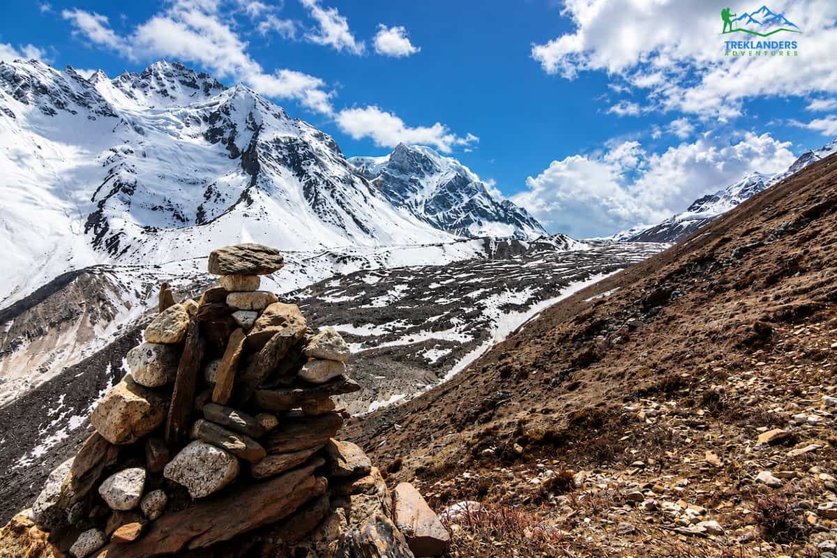
The Manaslu Larke Pass trek, part of the Manaslu region trek lineup, follows the Budhi Gandaki river valley north from Machha Khola before it climbs to the high pass. The flood of 11 October 2026 hit that corridor. The advisory says the access road, trail sections, bridges, and teahouse lodges suffered damage. It calls the flood devastating, and it reports that repairs are now partial.
The trek is accessible again. Trekkers can travel by vehicle as far as Machhakhola, then walk toward Jagat, Nyak Phedi, and Larke Pass. The word “caution” in the advisory is not decoration. It means that some sections work but remain rough, some lodges operate with limited rooms, and conditions can change after a rainstorm or a rockfall.
A repaired trail after a flood is a different trail from the one in last year’s blog posts and photos. Bridges may be new and unfamiliar. Landslide scars may sit where forest stood. Your guide will read each stretch and decide when to move and when to wait. Follow those calls.
The most useful detail in the advisory for planning is the new bypass at Yaru Bagar. A section of trail there was severely damaged and difficult, and crews established an alternative path that takes about 10 minutes to walk. The advisory describes it as a way around the worst of the damage.
Ten minutes sounds short, and it is. Do not read that as a sign that the bypass is easy. Short detours around damaged ground often cross loose slopes, narrow ledges, or fresh river-cut banks. Walk it one person at a time with your poles ready, keep gaps between group members, and let your guide set the pace. Porters know these stretches best, so watch where they place their feet.
If you plan to trek the Manaslu Circuit Trek in the coming weeks, ask your agency whether the Yaru Bagar bypass is currently used, and whether anything changed since the advisory. The same question applies to the 13-Day Manaslu Circuit Trekking and the 14 Day Manaslu Circuit Trek, because every one of them walks through Machha Khola and Jagat.
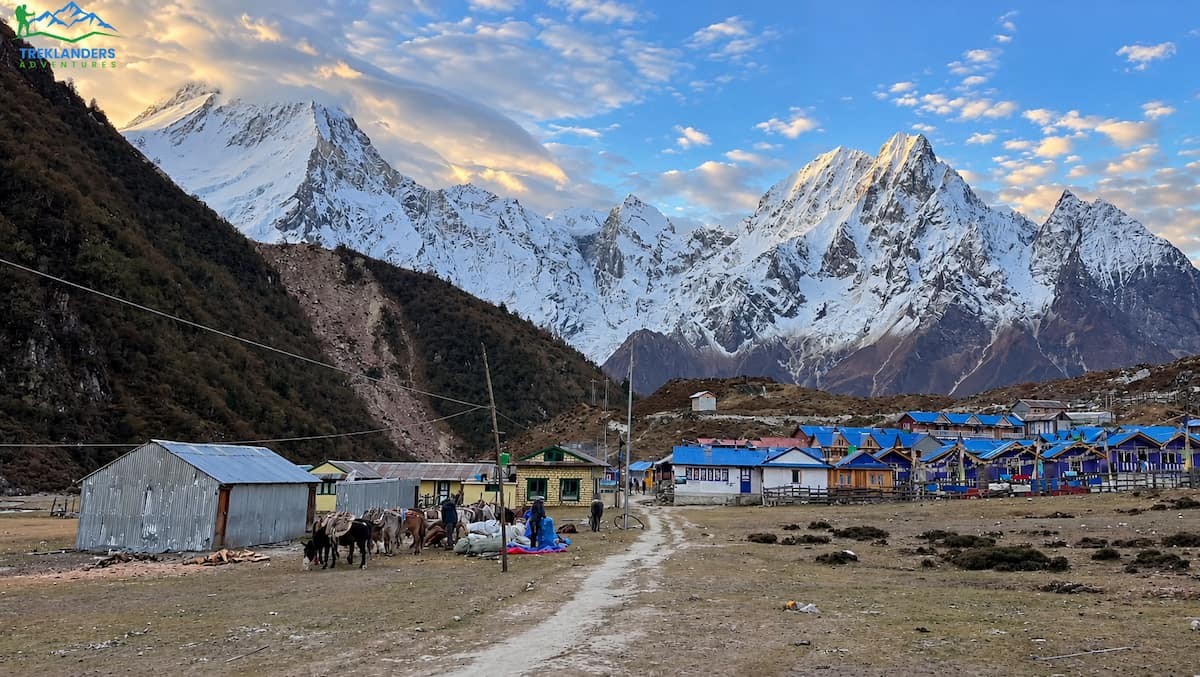
The Treklanders itinerary for the 20-day trip combines Tsum Valley with the main Manaslu Circuit. Because the Tsum Valley is closed at the moment, this section walks you through the stages that are open: the lower valley, the climb to Samagaun, and the Larke Pass crossing. The Tsum stages follow in a separate section further down.
You spend your first day in Kathmandu for arrival and a trek briefing. On the second day, you drive from Kathmandu to Machha Khola, 930 meters. The trip takes 8 to 9 hours. The road follows the Trishuli and Budhi Gandaki rivers, passes terraced farmland and small towns, and turns rough near the end. Machha Khola is the point where the advisory says vehicles can travel, so this stage matches the current guidance exactly.
After the October flood, expect the final stretch of road to be slower than the usual schedule. Build slack into your first two days and avoid booking tight onward connections.
The first walking day takes six to seven hours along the Budhi Gandaki. You cross suspension bridges, pass narrow gorges and waterfalls, and climb gradually to Jagat, 1,340 meters. Jagat is a stone-paved village and the entry point of the Manaslu Conservation Area. Permit checks happen here.
This stage runs through the part of the river corridor that took the heaviest hit. Bridges are the key detail. Every crossing on this stretch deserves a pause and a look. Use the new or repaired ones only after your guide confirms they are safe, and cross one person at a time on any bridge that moves under your weight.
The standard itinerary continues from Jagat to Ghap by way of Lokpa, with a branch to Tsum Valley. The advisory names Nyak Phedi as the next point on the trail toward Larke Pass, so expect your guide to describe the stretch beyond Jagat in those terms. The trail follows the river through bamboo forest and passes sections with a history of landslides. Mani walls and prayer flags at Ghap, 2,160 meters, mark the shift into Tibetan Buddhist culture.
From Ghap you climb to Lho Gaun, 3,180 meters, in six to seven hours. The landscape turns alpine, and the first close views of Mount Manaslu appear. The local monastery is worth a visit in the evening. The next day is a shorter walk of four to five hours to Samagaun, 3,530 meters, past yak pastures and glacial streams.
Samagaun is one of the largest villages in the Manaslu region. Treklanders schedules a full rest day here, and you should respect it. Altitude is the leading cause of trouble on this trek, and extra rest hours do more for your safety than any piece of gear.
On the rest day, you can walk to Manaslu Base Camp, visit Pungen Gompa, or hike to Birendra Tal, a glacial lake. Choose one. Keep the effort light enough that you feel good at dinner. After a flood year, the lodges at Samagaun may host more trekkers than usual if the Tsum Valley stays closed, so the village can be busy. Book through your agency rather than arriving on spec.
The next day is a gentle three to four hours to Samdo, 3,875 meters, through open alpine terrain toward the Tibetan border. Samdo is a small, wind-swept village that served as a trade point between Nepal and Tibet. The following day runs four to five hours to Dharmasala, also called Larkya Phedi, at 4,460 meters. Dharmasala is basic, often with dormitory-style rooms. It is the last stop before the pass, and you go to bed early.
Day 16 is the longest and hardest day on the trek. You leave in the dark and cross Larke Pass, also written Larkya La, at 5,106 meters. The views of glaciers and high peaks reward the cold start. After the pass, you descend carefully to Bhimtang, 3,720 meters, a broad green valley. The whole day takes eight to nine hours.
The advisory describes the Larke Pass trek as once again accessible. That statement covers the route, not the weather. Snow, wind, and cold can close the pass on any given morning, even in a good season. Your guide makes the final call at Dharmasala, so keep a spare day in your schedule for a delayed crossing.
From Bhimtang you walk five to six hours down through alpine meadows, rhododendron forest, and farmland to Tilje, 2,300 meters, a Gurung village with warmer nights. The next day you drive four to five hours to Besisahar, following the Marsyangdi River. On the final trip day, a drive of six to seven hours returns you to Kathmandu, and your flight leaves the day after.
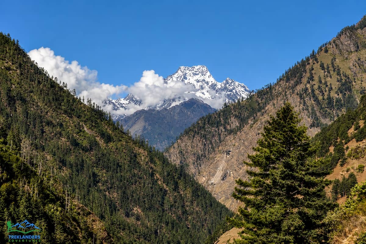
The Tsum Valley trek is closed. The advisory gives one reason: a cantilever bridge collapsed. A cantilever bridge is a timber or steel span that extends from both banks and meets in the middle. Many Himalayan villages rely on this design, and when one fails, the trail beyond it has no practical detour.
TAAN says the valley should reopen in approximately one week or so and will issue updates as repairs continue. Counting from 22 October, that suggests the valley could reopen around the end of the month. Treat that as a hope and not a date. Bridge repairs in remote valleys depend on weather, materials, and labor, and a single delay can add days.
If the Tsum Valley is part of your plan, do not cancel yet, and do not insist on going. Contact your agency and ask for a decision point. A reasonable plan names a date, such as three days before your start, when your guide confirms the valley status with local sources and tells you whether to proceed, switch, or postpone.
The Treklanders 20-day trip spends six days in Tsum Valley. Those days run from Jagat to Lokpa, then to Chumling, Lama Gaun, Mu Gompa, Chhekampar, and back to Lokpa. If the valley is still closed when you arrive, your guide can shorten the route to the main Manaslu Circuit and skip the Tsum loop. The 13-Day Manaslu Circuit Trekking and the 14 Day Manaslu Circuit Trek follow that shorter pattern.
Your permits matter here. The Tsum Valley needs its own restricted area permit, separate from the Manaslu permit. Ask your agency how the closure affects the paperwork, and do not buy extras you cannot use.
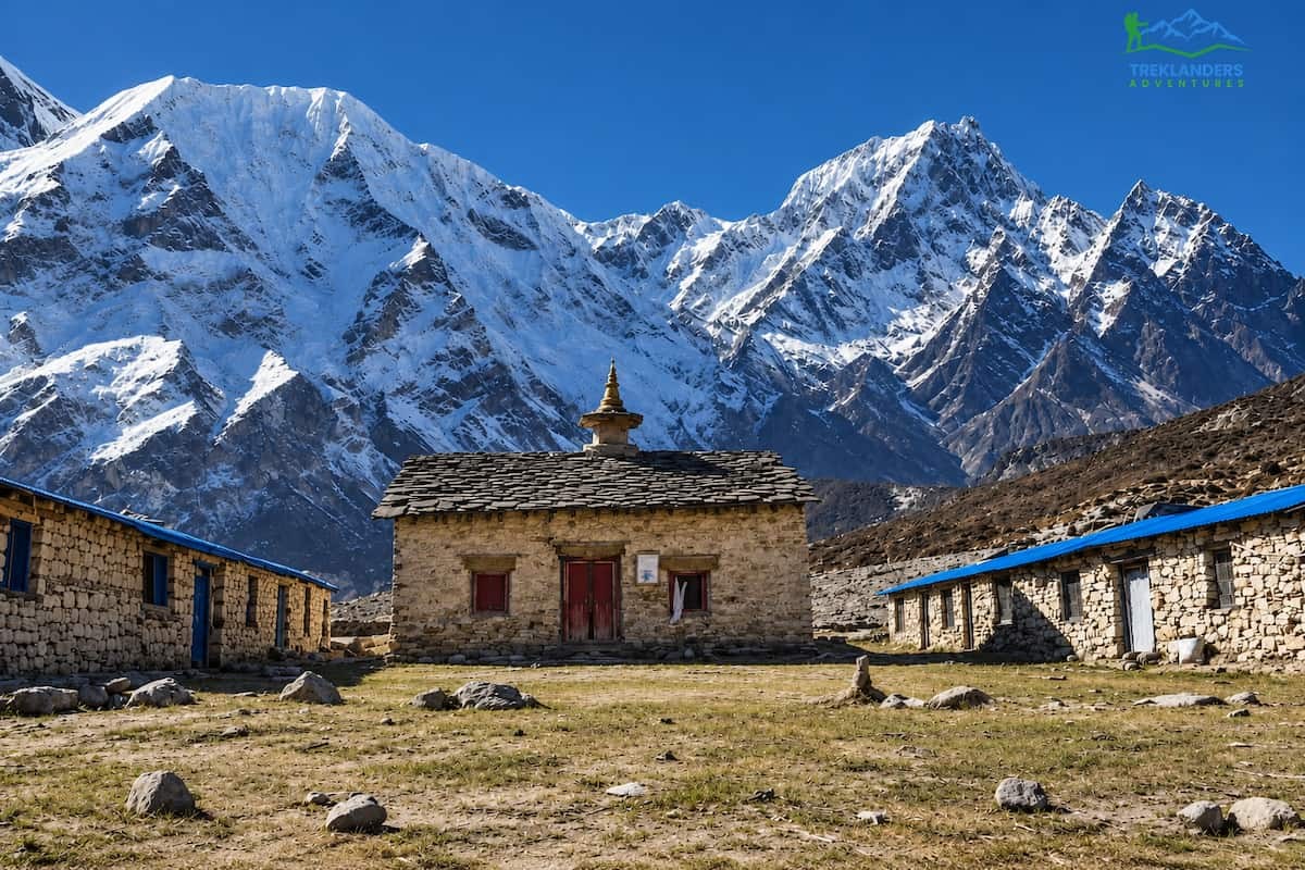
If you hold a Tsum Valley departure, this section shows what the valley offers when it reopens. The stages come from the Treklanders 20-day itinerary. Tsum Valley is a restricted area, so you need a licensed guide and at least two trekkers in your group.
Leaving the main Manaslu trail at Jagat, you climb for six to seven hours through forest and remote settlements. Lokpa, 2,240 meters, is the first village of the Tsum Valley. The surroundings are peaceful, and the lodge is simple. Here, the road feels far away.
On the next day you walk five to six hours through pine and rhododendron forest to Chumling, 2,386 meters. Traditional stone houses, a monastery, and views of Ganesh Himal define the village. From Chumling, the trail climbs along river valleys and terraced fields to Lama Gaun, 3,030 meters, in another five to six hours. Lama Gaun sits in the upper valley, and it shows how deeply Tibetan Buddhist practice shapes daily life.
The walk from Lama Gaun to Mu Gompa takes four to five hours. The trail climbs gradually through high alpine land to 3,700 meters. Mu Gompa is the largest monastery in the Tsum Valley and its spiritual center. You spend the night in a teahouse near the monastery, and the quiet there is hard to find on busier trails.
The descent to Chhekampar, 3,010 meters, takes six to seven hours. Views of the surrounding peaks open as you go, and you pass villages where Tibetan influence shows in dress, food, and architecture. The next day you retrace your steps to Lokpa in six to seven hours and rejoin the Manaslu Circuit route.
The cantilever bridge failure sits somewhere along this valley’s river crossings. The advisory does not name the exact location, so do not guess. Your guide will know the details once the repairs are complete.
The advisory splits your options cleanly. Open trails give you a confident booking. Cautious trails give you a booking with conditions. Closed trails give you a decision point. Match your tolerance for uncertainty to the region.
If you want certainty, choose Langtang. The valley, Kyanjin, and Gosaikunda are open, and the Bailey bridge at Betrawati restored the road approach. Pick the Langtang Valley Trek for a classic route, or the 14 Day Tamang Heritage with Langtang Valley Trek if you want culture before the high valley.
If you want Manaslu and accept some uncertainty, go with a flexible plan. Keep two spare days, travel with a guide who has recent field information, and agree beforehand on what you will do if the Yaru Bagar bypass or another section fails. The crossing of the pass sits at the end of a long approach, so build your schedule to give yourself margin at each stage.
If you want Tsum Valley, wait for the reopening. The date is an estimate, and the safest booking window starts after repairs finish and your guide confirms the news in person or by radio.
If your dates are fixed and these valleys do not work, consider routes in other regions. The Annapurna region trek page lists options such as the 11 Day Annapurna Base Camp Trek and the 13-Day Annapurna Circuit Trek. The Everest region trek page covers the 12-Day Everest Base Camp Trek and the 8-Day Everest Panorama Trek. These sit outside the flood zones in the advisory, but ask your agency for current conditions on any route before you commit.
For a short trip near the capital, the 4-Day Trekking Adventure near Kathmandu and the Chisapani-Nagarkot to Dhulikhel Hiking route keep you close to the road and the hospital. You can also browse every option on the trekking in Nepal page.
Permit rules did not change with the advisory, but a flood year makes paperwork more important. For Langtang, you need the Langtang National Park entry permit and a TIMS card. Your agency normally buys both in Kathmandu, and the park checkpoint at Dhunche verifies them.
For the Manaslu Larke Pass trek, you need the Manaslu Restricted Area Permit, the Manaslu Conservation Area Permit, and the Annapurna Conservation Area Permit, because the route ends in Besisahar. Checkpoints at Jagat, Samagaun, and Besisahar verify the originals, so carry them at all times. Tsum Valley adds its own restricted area permit.
Nepal requires a licensed guide for restricted areas, and the Langtang National Park also expects one under the 2023 guide rule. This rule is a safety asset in a flood year. A licensed guide carries a radio, talks with other guides along the trail, and hears about a failed bridge before you reach it. Book through a registered agency, and ask for the guide’s license number if you want to verify it.
Travel insurance is mandatory for the high routes. Your policy should cover trekking up to at least 5,200 meters, which includes the Larke Pass at 5,106 meters, and it should include emergency helicopter evacuation. Read the policy for exclusions that apply to areas under advisory, and ask your insurer in writing if the wording is unclear.
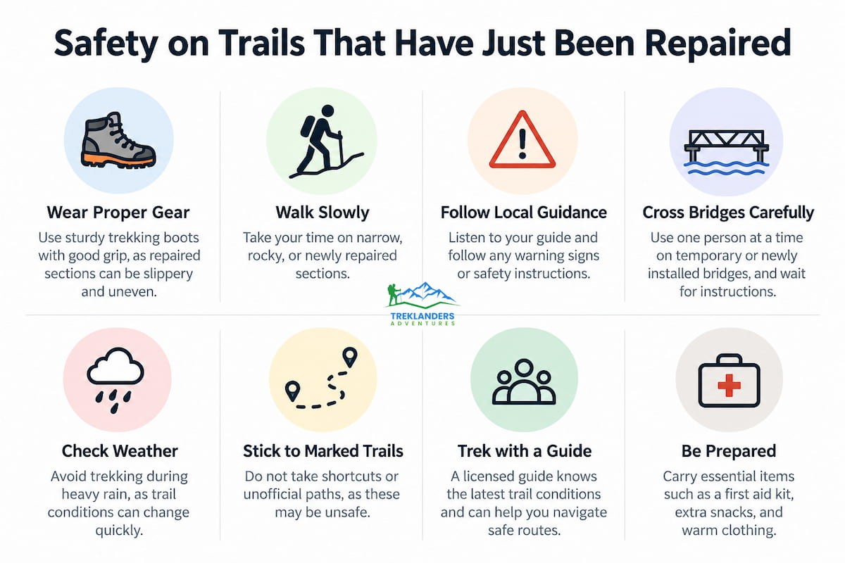
Repaired trails fail in predictable ways. Knowing them helps you spot trouble before it grows.
Fresh slopes shed rock. Landslide scars loosen in rain and again in the first cold nights, when water freezes and thaws in cracks. Cross open scars quickly, one person at a time, and never stop under one to take photos.
New bridges feel strange. A Bailey bridge or fresh suspension span is stronger than it looks, but the approaches may be soft or unfinished. Use the handrails, space yourselves out, and let animals and porters with heavy loads cross first when guides say to.
Rivers run differently. After a flood, channels shift. A ford that worked in the spring may now run deeper or faster. Do not cross water on your own initiative, and wait for your guide to scout a safe line.
Lodges may be short on rooms. Damaged teahouses reduce capacity, and rerouted groups crowd the ones that still operate. Your agency can reserve beds ahead. Bring a warm sleeping bag rated for the cold, and be ready for a shared room.
Communication is patchy. Mobile signal fades above the lower villages, and Wi-Fi is weak or absent in the upper valleys. Tell your family that you may go silent for several days, and give them your agency’s number as the contact point.
Food and water need planning. Teahouses cook fresh meals from local supplies, and the menu shortens as you climb. Dal bhat is the safest and most filling choice, and refills are common. Lodges provide boiled water on request for drinking, and purification tablets or a filter bottle give you a second layer. After a flood, supply lines to upper villages may run slower, so a few snacks from Kathmandu help. Carry energy bars, nuts, or dried fruit for the long stages, especially the Larke Pass day, when you may not stop for a hot lunch.
Altitude still matters. A flood does not change the rules of acclimatization. Drink three to four liters of water a day, rest when your guide says so, and report headache, nausea, or dizziness early. If symptoms worsen, descend.
Pack for these conditions with the help of the 10 Essential Tips for Trekking in Nepal, which covers layering, footwear, and trail habits in plain terms.
October and November count among the best trekking months in Nepal, and the 2026 post-monsoon window is now in full swing. Autumn brings clear air, dry trails, and sharp mountain views, which also means crowds on every open route. Spring, from March to May, brings mild days and blooming rhododendrons, and the Larke Pass is usually safe to cross.
This year adds a twist. Because Tsum Valley is closed and the Manaslu trail is only partly restored, trekkers who planned for those areas may shift to Langtang, and Langtang lodges will fill faster than usual. If you want a room in Kyanjin or Lama Hotel, book now rather than next week.
Winter trekking is possible for experienced walkers, but the Larke Pass can close under heavy snow. The monsoon months from June to August bring landslides and low visibility, and they do not suit these routes.
TAAN promised further updates on the Tsum Valley as repair work continues, and the same logic applies to every post-flood trail. A bridge opens, a section washes out again, a bypass changes, and the advice shifts. Sources worth checking include your agency, the TAAN publications, and the Treklanders blog, where flood and route updates appear as the facts become clear.
When you talk with your agency, ask four things: which trailhead is in use, which bridges are new or repaired, whether the Yaru Bagar bypass is active, and what the plan is if a stage closes while you are on the trail. A good agency answers these in plain words and offers a backup route without being asked.
To discuss a specific departure, use the Plan My Trip form or the contact page. Include your dates, your fitness level, and the regions you want to see. The team can then tell you which route fits the advisory and how to adjust if conditions move.
The 22 October advisory gives Langtang a clear green light, gives the Manaslu Larke Pass trek a cautious green, and gives Tsum Valley a temporary red. If you read it that way, your next step follows from your plan.
Langtang trekkers should confirm the trailhead and book rooms at Kyanjin and Lama Hotel. Manaslu trekkers should confirm the Yaru Bagar bypass, add buffer days, and check their insurance wording. Tsum Valley trekkers should set a decision date with their agency and keep an alternative route ready, such as a shorter Manaslu Circuit or a trip in the Langtang region.
Nepal’s trails reopen because crews, guides, porters, and lodge owners work to rebuild them. Treat their work with respect, follow your guide’s calls, and walk with the patience the mountains demand. The trails will be there when the repairs finish, and the views from Kyanjin Ri, Samagaun, and Mu Gompa are worth the wait.

Discover insider tips from an experienced Treklanders guide on Everest, Annapurna, and Manaslu trekking, including safety, packing, and expert advice.
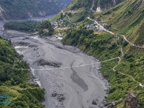
October 2026 Budhi Gandaki flood update: Manaslu and Tsum Valley trail conditions, safety alerts, closures, and trekking alternatives.
Discover 10 essential trekking tips for a safe, enjoyable, and unforgettable Himalayan adventure in Nepal.



