
Lo Manthang: Inside Upper Mustang's Walled Capital City
20 Aug 2026
Explore Lo Manthang, Upper Mustang’s ancient walled capital, rich in royal history, Tibetan culture, monasteries, and Himalayan beauty.

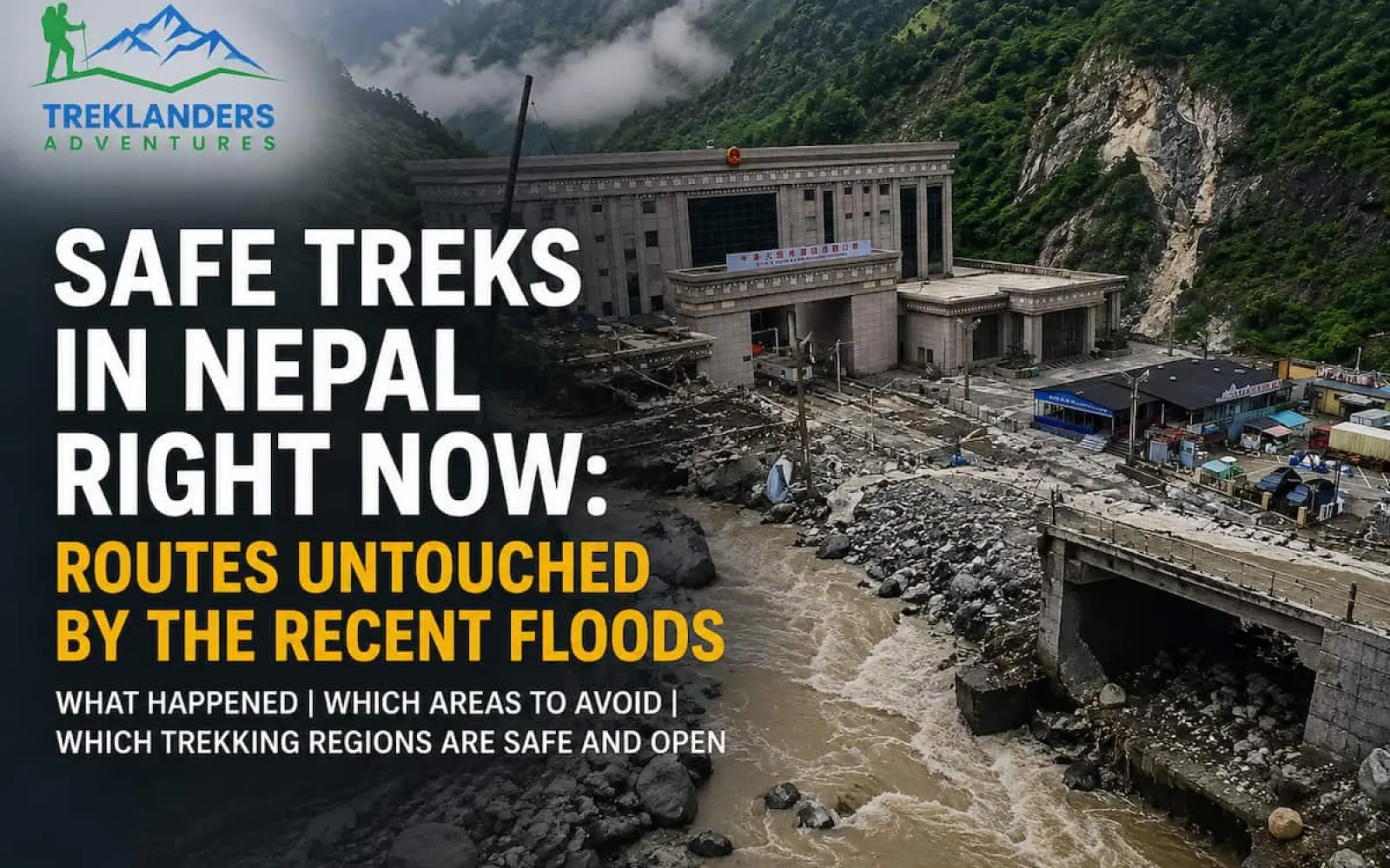
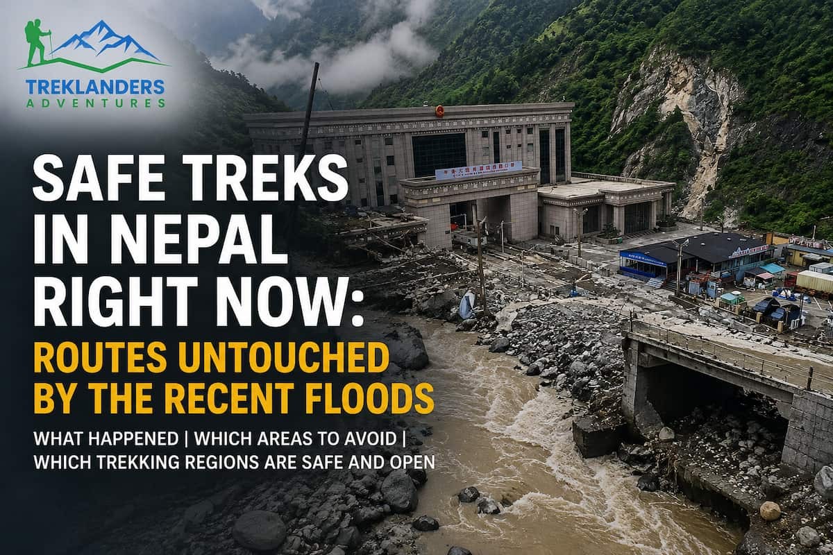
On the morning of August 26, 2026, a glacier collapse above the Bhotekoshi River triggered a series of flash floods that tore a 72-kilometer path through Rasuwa and Nuwakot districts in northern Nepal. Syabrubesi and Timure, two towns every Langtang trekker knows well, took the worst of it. Roads washed out. Bridges disappeared. The Rasuwagadhi border crossing and the Gyirong Port complex on the Tibet side were destroyed outright. Four days later, the death toll in Nepal has climbed past 670, with roughly a dozen more confirmed dead across the border in Tibet, and nearly 3,000 people are still listed as missing between the two countries. Search and rescue teams are still working, a debris-dammed lake near the border briefly forced a pause in operations over fears it could overflow, and crews with tunnel-rescue expertise from India and China have been pulling hydropower workers out of flooded tunnels for days.
We are not writing this to sell you a trip while that search continues. We are writing it because our phones have not stopped ringing since the day it happened, and almost every caller asks the same question: is Nepal still safe to trek. The honest answer has two parts. One corner of the country is in crisis and needs space, time, and resources, not tourists. The rest of Nepal's trekking regions, from Everest to Upper Mustang, sit on entirely different river systems and are operating as normal. Knowing the difference matters, both for your own planning and for keeping pressure off rescue teams who don't need confused trekkers wandering into a disaster zone.
This guide walks through exactly what happened, which areas you should avoid until officials say otherwise, which regions are unaffected and open, and how to verify conditions yourself before you commit to a route. We built it from government statements, tourism board updates, and on-the-ground reporting, and we're keeping it current as the situation develops. Treat it as a starting point, not a final word. This is still an active disaster, not a closed chapter.
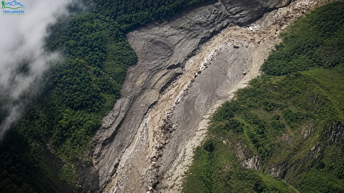
The trigger was not rain. It was a glacier collapse on the Tibetan side of the border, roughly 55 kilometers northwest of Kodari, that set off a landslide registering 5.2 on local seismometers. That collapse dumped an enormous volume of rock, ice, and water into the Lhende Khola, a tributary that meets the Bhote Koshi River right at the Rasuwagadhi border post. The surge hit at around 9:15 in the morning, local time, on a clear day with no storm to warn anyone.
That detail matters more than it might seem. Most trekkers picture flood risk as something tied to monsoon rain, and they check a weather forecast and feel reassured. This flood had nothing to do with the day's weather. It came from a glacial event dozens of kilometers upstream, on foreign soil, with no warning system in place to catch it. Residents in Timure and Syabrubesi told reporters the water arrived almost instantly, leaving them seconds rather than minutes to react.
The damage cascaded downstream fast. The Bhotekoshi feeds into the Trishuli River, and the surge carried destruction through Rasuwa into Nuwakot, damaging the Chilime hydropower project and halting operations at Rasuwagadhi Hydropower entirely. Nepal's government put five districts on alert: Rasuwa, Nuwakot, Dhading, Gorkha, and Chitwan, with warnings extended as far downstream as Muglin. Authorities asked for closures along sections of the Prithvi and Tribhuvan highways as a precaution.
As of this writing, Nepali police have recovered more than 670 bodies, and identification of the deceased is still ongoing. Nearly 3,000 people remain unaccounted for across Nepal, including several hundred foreign nationals, among them around 90 Americans. That is not the same as a death count. Communications and roads across the corridor are still down in places, and Nepal's own disaster authority has been careful to describe most of that list as out of contact rather than presumed dead. The missing include tourists from India, the United States, the United Kingdom, Australia, South Korea, and several other countries. Many were pilgrims heading overland to Mount Kailash through the Rasuwagadhi-Kyirong crossing, which happened to be at peak volume for the Kailash Mansarovar Yatra season. Others were trekkers, security personnel, and hydropower workers caught in the corridor, including more than 100 people who were pulled alive from tunnels at a hydropower plant in Rasuwa in one of the more remarkable rescues of the week.
Rescue efforts have been slow going. The helipad at Timure, which would normally support helicopter evacuations, was swept away in the flood. Damaged roads and downed power have limited ground access. On the Chinese side of the border, authorities warned that a debris-dammed lake formed by the original landslide had started to overflow, which forced rescue teams to briefly suspend operations before resuming once the immediate risk eased. Geologists estimate the initial landslide displaced more than 100 million cubic meters of ice, rock, and debris, and specialists continue to monitor the site for signs of another release.
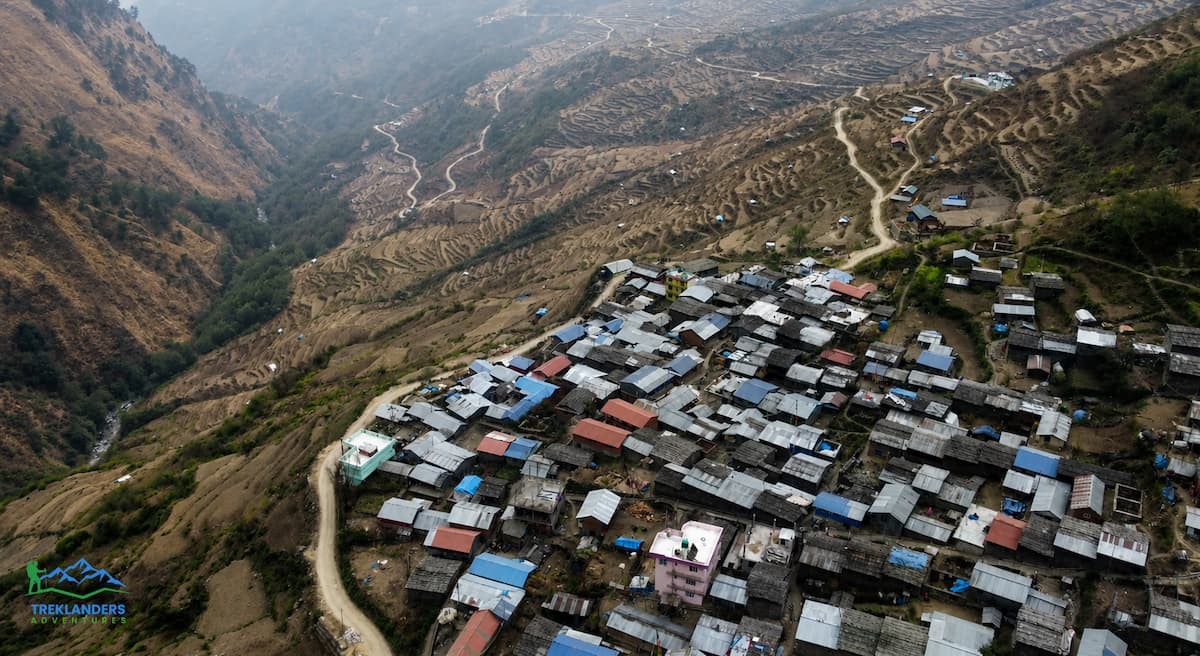
If this sounds familiar, it's because the Bhotekoshi corridor has been here before. In July 2025, a flood on the same river system destroyed the Miteri Bridge at Rasuwagadhi, cutting the border crossing for months while crews rebuilt the approach in phases. That event, like this one, was tied to conditions upstream in Tibet rather than local rainfall.
The pattern points to a broader risk that scientists at Kathmandu's International Centre for Integrated Mountain Development have been flagging for years: glacial lake outburst floods, or GLOFs, are becoming more frequent across the central Himalaya as glaciers retreat and unstable ice dams form higher up the valleys. The Lhende Khola, the tributary that fed this week's surge, has now flooded twice in fourteen months by some accounts, and disaster risk experts point to an ice-rock avalanche off a glacier as the trigger this time, similar to the mechanism suspected in 2025.
This matters for trip planning beyond just this one event. The Rasuwagadhi-Kyirong corridor, and by extension the Langtang and Gosaikunda approach roads that share infrastructure with it, sit in a genuinely higher-risk zone for this specific kind of disaster. That doesn't mean the region is permanently unsafe. It means rebuilding will likely come with reinforced infrastructure and possibly revised routing, and it means anyone planning a trip here in future seasons should build in a habit of checking conditions close to departure rather than assuming last year's map still applies.
It's also worth understanding why this particular valley concentrates so much risk in the first place. The Bhotekoshi rises on the Tibetan plateau and drops through a narrow, steep gorge before it ever reaches Nepali territory, which means any glacial event upstream arrives with almost no travel time to warn communities downstream. Compare that to a river with a longer, gentler approach through populated terrain, where a similar volume of water would take hours rather than minutes to reach the first settlement. The geography that makes this corridor so dramatic and appealing as a trade and trekking route is the same geography that makes it exposed to this kind of sudden event.
If your trip touches any of the following, put it on hold and get direct confirmation from your operator and from official channels before you go anywhere near it.
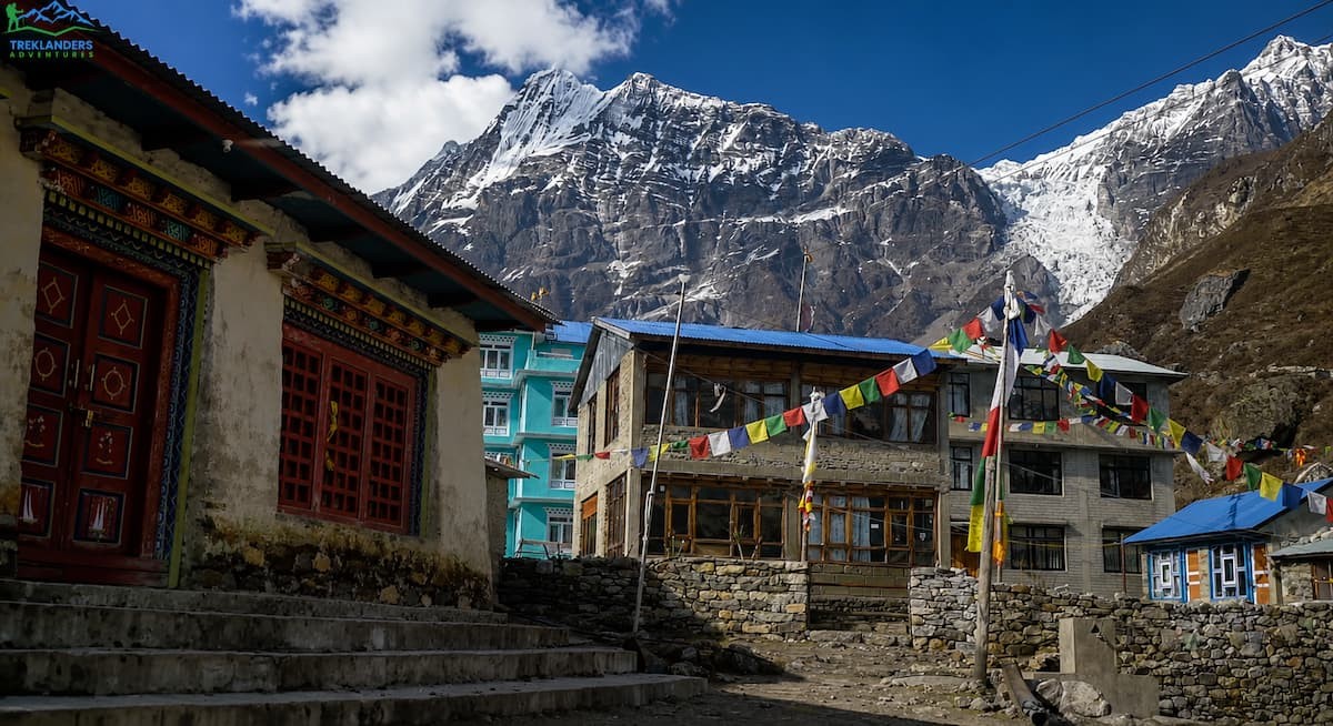
Langtang Valley starts from Syabrubesi, and Syabrubesi took a direct hit. As of the most recent update from Rasuwa's Chief District Officer, the Kathmandu-to-Syabrubesi road corridor, including the Galchhi-Nuwakot-Rasuwa-Syabrubesi stretch, is damaged and restricted. New Zealand's SafeTravel advisory, updated on August 27, specifically names this road among the routes travelers should avoid until authorities lift restrictions.
Here's the nuance worth understanding: there is no confirmed report that the upper Langtang trail itself, from Lama Hotel through Kyanjin Gompa, has been destroyed. The damage described so far centers on the access road and the towns at the base of the valley, not necessarily the high trail. But that distinction doesn't make the trek accessible. If you can't safely reach Syabrubesi, it doesn't matter whether the trail above it is intact. Add to that the fact that rescue operations are actively using this exact road corridor, and you have a situation where any non-essential travel through the area competes with people trying to save lives. Every trekking agency in the region, ours included, is telling clients the same thing: wait for a clear road-clearance statement before you plan a Langtang trip, and don't attempt to travel through Syabrubesi or Timure informally.
For anyone with a Langtang booking already on the calendar for September or October, the practical move is to hold off on finalizing transport and permits until your operator can confirm the road is cleared and Syabrubesi has basic services running again. Rebuilding a washed-out mountain road takes weeks at minimum, sometimes longer if bridges need full reconstruction rather than repair. Ask for a specific timeline update rather than a general "we'll let you know."
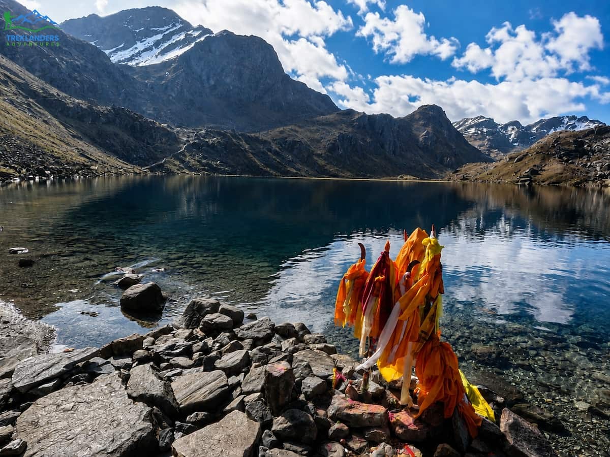
Gosaikunda sits in the same district as the flood and is normally reached by road to Dhunche and then on foot. The Nepal Tourism Board's own guidance notes that this destination information does not override emergency restrictions currently in place. The Tamang Heritage Trail shares trailheads and access roads with the Langtang system, so it falls under the same caution. Both are worth returning to once Rasuwa's infrastructure comes back online, but that is not this week.
If you had an overland Kailash Mansarovar trip planned through this crossing, it is off the table for now. The border post itself was destroyed, the road leading to it is gone in sections, and this corridor is where the bulk of the missing-persons cases originated. This is Nepal's main overland gateway to Tibet, and it had already suffered a serious flood in July 2025 that took out the Miteri Bridge and led to months of phased repairs. Rebuilding after this event will likely take longer.
If you're a trekking agency or a traveler with a group already committed to this route, the practical step is a written status check from your operator covering the specific road segment, the border crossing itself, and the transport plan, rather than assuming things will clear up on the original schedule.
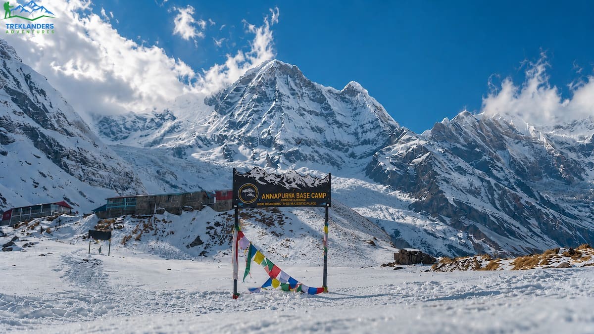
This one is separate from the Rasuwa disaster but still relevant if you're weighing where to trek this month. On August 14, 2026, heavy rain caused a serious flood on the Modi River near Birethanti in Kaski district, which is the main gateway into the Annapurna Base Camp, Ghandruk, and Poon Hill routes. The Trekking Agencies' Association of Nepal's Gandaki chapter reported that the flood washed away the road connecting Nayapul to Ghandruk and damaged the suspension bridge crossing at Ghurjung, along with two hotels in Banthanti. TAAN Gandaki asked tourism operators to prioritize safety over business and to help trekkers and staff use alternative routes.
We don't have confirmation that repairs are complete two weeks later, and conditions can shift quickly during monsoon season. If your itinerary depends on the Nayapul corridor for Annapurna Base Camp, Ghandruk, Mardi Himal, or Poon Hill, ask your operator for a current status update on that specific bridge and road section before you commit. This is a smaller-scale disruption than Rasuwa, and it's fixable, but it's worth verifying rather than assuming.
Nepal is a big country, and its trekking regions sit on separate river systems that don't have anything to do with each other. A flood on the Bhotekoshi in Rasuwa tells you nothing about conditions three or four mountain ranges away. Here's where things stand.
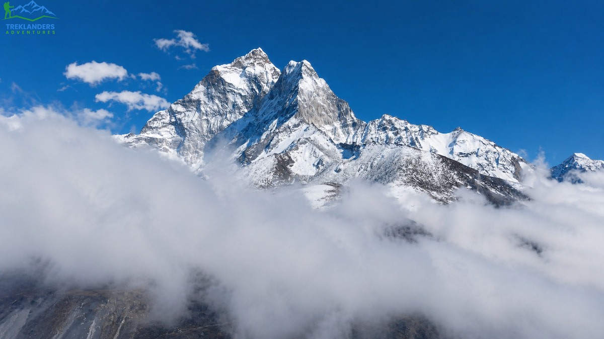
The Everest trekking region has zero connection to the Rasuwa flood. You fly into Lukla, and the trail follows the Dudh Koshi River valley up through Namche Bazaar, Dingboche, and eventually to Everest Base Camp or across the Three Passes. That's a different watershed entirely, and Khumbu has had no reported disruption from this event.
Worth knowing for context: Khumbu has experienced its own flash floods before, including a 2024 event that damaged Thame village and washed out a stretch of trail between Phakding and Namche. That's a separate historical incident and not connected to what happened this week. It's a reminder that any high-altitude trekking region carries some baseline glacial flood risk, which is exactly why checking current conditions before departure should be part of your routine regardless of what's in the news.
Right now, Everest Base Camp treks, the Three Passes circuit, and the surrounding Khumbu trails are operating on schedule. Lukla flights are running, teahouses are open, and there's no advisory against travel here.
If you're weighing this route for the coming weeks, late August into September puts you right at the tail end of monsoon, with clearer skies and thinner crowds arriving by early October. The standard Everest Base Camp route takes most trekkers twelve to fourteen days round trip from Lukla, and the Three Passes variant, crossing Kongma La, Cho La, and Renjo La, extends that to roughly eighteen to twenty days for those who want a more demanding circuit through the same region. Both require a Sagarmatha National Park permit and a local Khumbu Pasang Lhamu Rural Municipality entry fee, arranged in Kathmandu or at the park checkpoint.
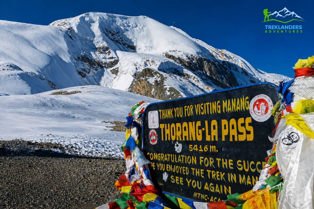
This is worth separating clearly from the Nayapul-side caution above. The Annapurna Circuit, the route through Chame, Manang, and over Thorong La Pass, starts from a different gateway entirely, accessed via Besisahar in Lamjung district. This approach has not been affected by either the Rasuwa flood or the Modi River flood near Birethanti. If your plan is the full circuit rather than the Base Camp trek specifically, you're working with a different road and a different river system.
The full circuit typically runs fifteen to eighteen days, following the Marshyangdi River up through Gurung and Manangi villages before crossing Thorong La at 5,416 meters and descending into the Kali Gandaki valley toward Muktinath and Jomsom. Trekkers wanting a shorter taste of the same region often combine Manang with a flight out from Jomsom rather than walking the full loop, cutting the trip down to ten or eleven days without sacrificing the pass crossing. Either version keeps you well clear of the current flood-affected zones.
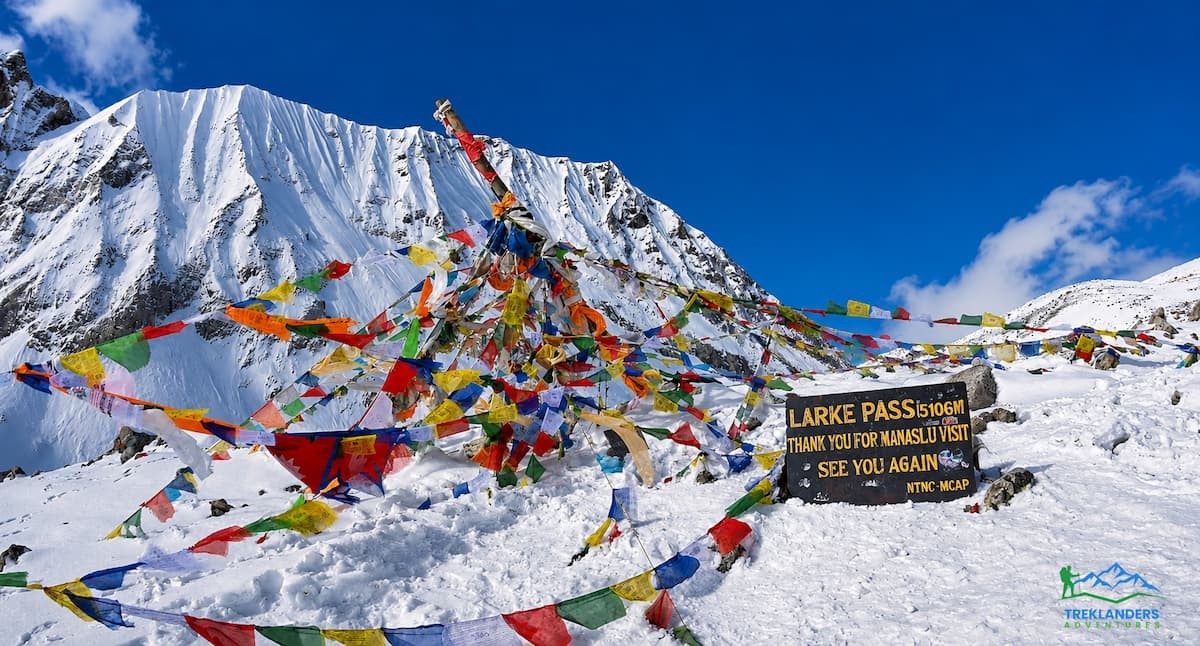
Manaslu sits in Gorkha district, which was named as one of the five alert districts after the Rasuwa flood. That alert relates to downstream flow along the Trishuli-Marshyangdi confluence near the lowlands, not the Manaslu trekking trail itself. The Manaslu Circuit follows the Budi Gandaki River upstream from Machha Khola, a completely separate valley from the Bhotekoshi and Trishuli systems that flooded. Recent reporting on the region notes no major trail issues, and Tsum Valley, which shares the same approach, is in the same position. If you're heading toward Gorkha specifically for road travel through the lowland stretch near Mugling, it's worth a quick check with your operator, but the trekking route around Manaslu itself is unaffected.
Manaslu is a restricted area, which means you'll need a Special Restricted Area Permit alongside the standard conservation area entry fee, and you're required to trek with a licensed guide through a registered agency rather than independently. In exchange, you get one of the least crowded major circuits in Nepal, typically fourteen days from Machha Khola to Larkya La Pass at 5,160 meters and down into Dharapani at the edge of the Annapurna region. Tsum Valley branches off partway through and can be added as a side trip for travelers who want the Manaslu experience with an even quieter, more culturally distinct detour through its Tibetan Buddhist villages.
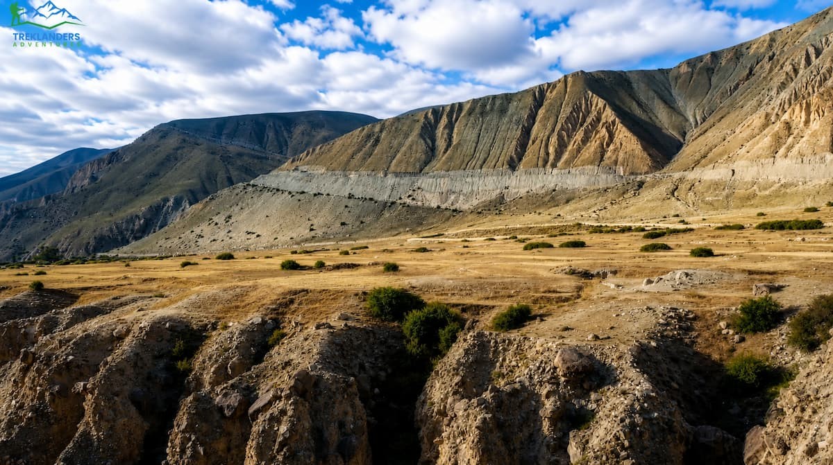
Upper Mustang sits in a rain shadow behind the Annapurna and Dhaulagiri ranges, and it's about as far from flood risk as Nepal gets. The terrain is high desert, dry and windswept, and the region has no connection to the river systems involved in this week's disaster. This is one of the more reliable choices if you want a trek that's essentially immune to monsoon-season flood disruption.
This is also, not coincidentally, one of the few regions in Nepal where monsoon season is actually a reasonable time to go, since the mountains to the south block most of the rain before it reaches Lo Manthang and the surrounding plateau. Like Manaslu, it's a restricted area requiring a special permit and a licensed guide, and most trekkers cover it in ten to twelve days flying or driving into Jomsom and walking north through eroded canyons and centuries-old cave dwellings to the walled city of Lo Manthang.
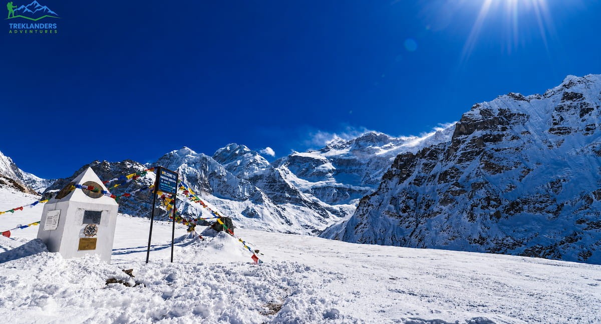
Kanchenjunga sits in the far east of Nepal, in Taplejung district, hundreds of kilometers from Rasuwa and on a completely different set of river drainages. There have been no reports connecting this region to current flood activity. If you're looking for a remote, high-altitude trek with minimal crowds and zero overlap with the affected zone, this is a strong option this season.
Reaching the base camp area under Kanchenjunga, the third-highest mountain on earth, generally takes three weeks or more round trip given the remote approach, and it requires a restricted area permit plus a licensed guide, same as Manaslu and Upper Mustang. Trekkers who want a shorter version can turn back after reaching the north or south base camp viewpoints rather than doing both, trimming several days off the itinerary without losing the core experience.
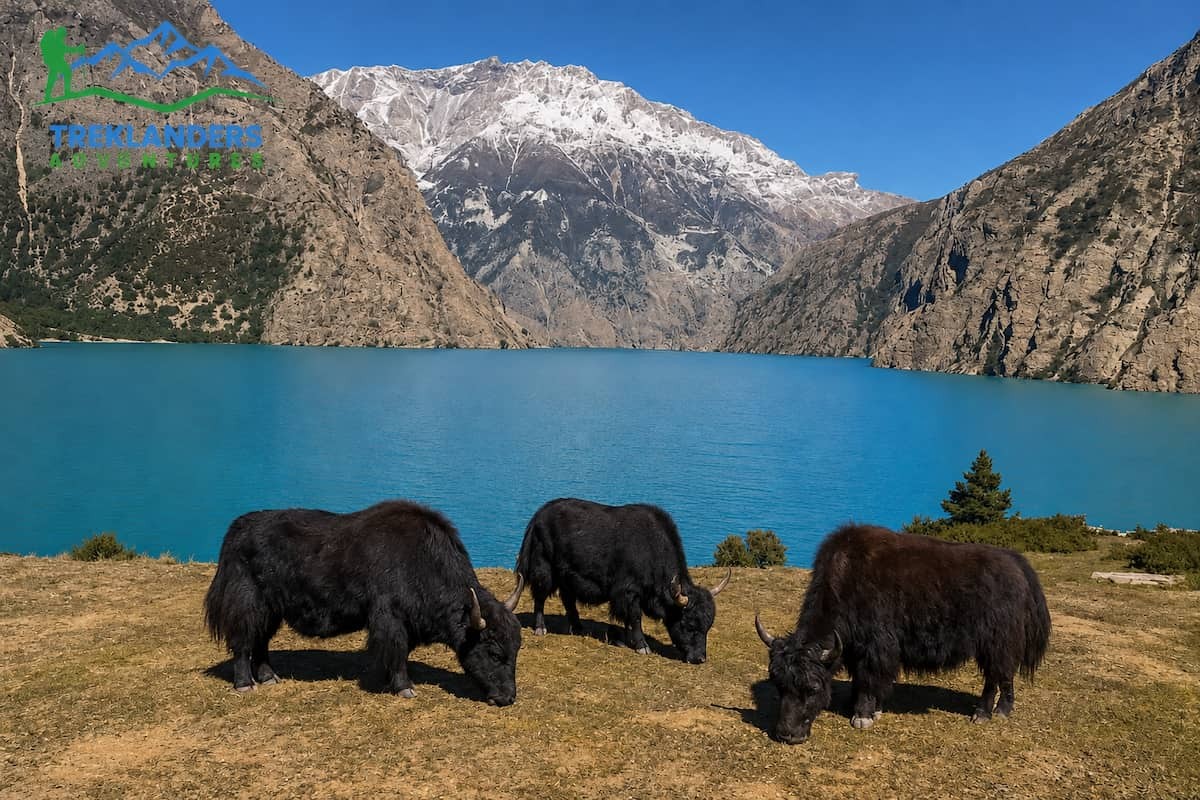
Far western Nepal, isolated, and unrelated to any of the water systems involved in the Rasuwa flood. Access here depends more on flight schedules and permit logistics than on anything happening in the north-central part of the country right now. Lower Dolpo is open to independent trekking with a standard permit, while Upper Dolpo, home to Shey Phoksundo Lake and the setting for the film Himalaya, requires a restricted area permit and a guide. Both regions sit in a rain shadow similar to Mustang, which makes them naturally resistant to monsoon-season disruption even in a normal year.
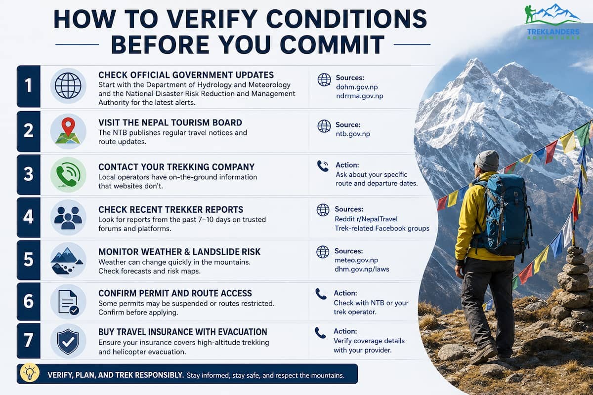
News moves fast during a disaster, and blog posts, ours included, can go stale within days. Before you finalize any trekking plan in Nepal this month, run through these checks yourself rather than relying on secondhand information.
Contact the Nepal Tourism Board directly. They maintain the most current list of affected areas and out-of-contact travelers, and they update it as new information comes in. If you or someone you know is planning travel through Rasuwa, Nuwakot, or the Kailash overland route, this is your first stop.
Check the regional TAAN chapter for your route. The Trekking Agencies' Association of Nepal has separate provincial chapters, and Gandaki's chapter was the one that flagged the Nayapul-Ghandruk road damage earlier this month. These regional notices tend to be more specific and more current than national-level news coverage.
Read your own government's travel advisory. Australia's Smartraveller, the UK's FCDO, the US State Department, and New Zealand's SafeTravel have all issued updates on the Rasuwa situation, and they tend to name specific road segments rather than blanket-labeling the whole country. New Zealand's advisory, for instance, calls out the Galchhi-Nuwakot-Rasuwa-Syabrubesi road by name.
Call your trekking operator and ask for a written status check. Don't accept a general reassurance. Ask specifically about the road condition on your planned approach, whether the trailhead town has power and lodging available, and whether your guide has been in contact with local authorities in the last 24 hours. A functioning flight into Kathmandu does not mean every overland route out of the city is passable, so don't assume connectivity just because you landed without issue.
Use the emergency contact numbers if you're already in Nepal. The Nepal Tourism Board has publicized toll-free number 1234 and hotline 1144, along with the Tourist Police, for anyone needing real-time guidance or reporting a missing contact.
Document everything if your plans change. If you need to alter or cancel a booking because of flood-related restrictions, keep records of operator communications, official advisories, and any unused reservations. Travel insurance coverage for weather and disaster-related cancellations varies significantly by policy and by when you purchased it, so don't assume a flood automatically triggers reimbursement. Check your specific policy language.
Don't rely on a functioning Kathmandu airport as proof the country is fine. This sounds obvious written out, but it's the assumption we see trip planners make most often during a disruption like this one. International and domestic flights into Kathmandu can run on a completely normal schedule while a specific mountain road three hours north sits impassable. Airport status and road status are two separate questions, and you need to check both if your itinerary involves any overland travel at all.
Some readers of this piece aren't planning a future trip, they're mid-trek or in Kathmandu right now trying to figure out what to do. If that's you, a few points specifically for your situation.
If you're anywhere near Rasuwa, Nuwakot, or the Trishuli, Bhotekoshi, or Narayani riverbanks, move away from the water and toward higher ground, and stay there until local authorities or your guide confirms it's safe to proceed. Don't attempt to cross damaged bridges or drive through flooded sections of road, even if a route looks passable from a distance. Debris blockages upstream can release with no additional warning, and the same river that looks calm in the afternoon can carry a second surge without any new rainfall to explain it.
If you're trekking elsewhere in the country, in Khumbu, Annapurna, Manaslu, or anywhere else outside the alert zone, there is no need to change your plans on the basis of this event. Keep your guide informed of your location as a matter of routine, which you should be doing anyway, and continue as scheduled unless your specific operator tells you otherwise.
If you have a friend, family member, or tour group member who may have been in the affected corridor, the Nepal Tourism Board's out-of-contact list is the first place to check, followed by your embassy's emergency contact line and the tourist hotline numbers listed above. "Out of contact" is explicitly not the same thing as a casualty report. Communications infrastructure, roads, and the border post are all damaged, which means plenty of people on that list are almost certainly safe but simply unreachable from either side of the border for now.
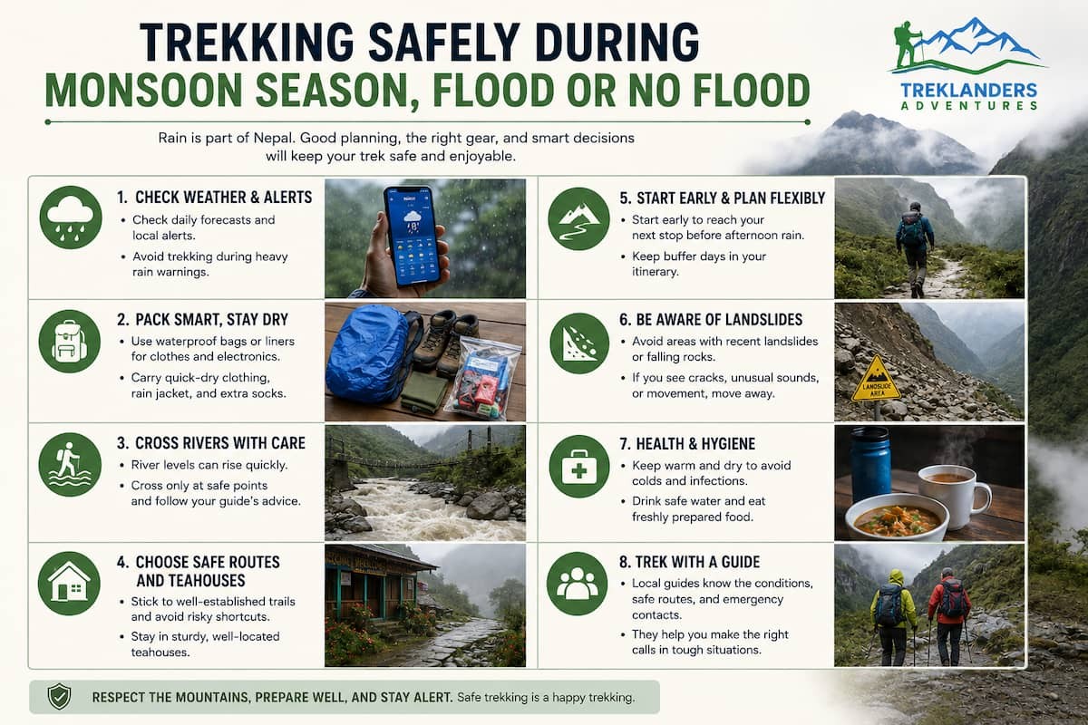
Even outside of a major event like this one, Nepal's monsoon months carry real risk that's worth planning around every year, not just this week.
Landslide zones move. A trail section that was solid last season can be unstable this season after heavy rain saturates the slope above it. Local guides track these changes closely because their livelihood depends on it. This is one of the strongest arguments for trekking with a licensed guide rather than going independently, especially outside the most heavily trafficked routes.
River crossings change character fast. A stream that's ankle-deep in the morning can rise substantially by afternoon if there's been rain in the catchment above you, even if it's not raining where you're standing. Glacial rivers add another layer of unpredictability, since a warm day at altitude can trigger meltwater surges hours later downstream, and a glacial event upstream, as we saw this week, can happen without any local warning at all.
Communication infrastructure is often the first thing to go. Cell towers, internet relay stations, and even physical roads tend to fail before trails do in a flood event. This is why local reporting and eyewitness accounts sometimes lag behind the actual on-the-ground situation, and why checking multiple sources matters more than checking one.
Build flexibility into your itinerary. A rigid schedule that assumes every day will go exactly as planned doesn't hold up well against monsoon conditions. Buffer days, flexible flight bookings, and an operator willing to adjust routing on short notice all matter more during this season than during the dry autumn or spring windows.
Guides do more than lead you up a trail. In a region experiencing active disruption, a good guide with local contacts can get you real-time information that no advisory or blog post will have yet. They know which teahouse owner has a working phone, which bridge crew is out repairing a crossing, and which alternate path is actually walkable versus theoretically walkable.
Travel insurance is not optional this season. Choose a policy that explicitly covers emergency evacuation and trip interruption due to natural disasters, and read the exclusions before you buy. Some policies treat a named event, like this flood, differently once it's already in the news, so timing your purchase matters.
Pack for wet trails even on a route with no flood risk. Monsoon season means leeches on lower forested sections almost everywhere in Nepal, not just in the districts currently affected. A pair of gaiters, a dry bag for electronics, and quick-dry layers make a bigger practical difference during these months than they do in the dry season. Trekking poles help more than usual too, since muddy, uneven trail sections are far more common in August and September than in October or November.
Watch the weather window, not just the calendar. Late August into September is technically still monsoon on paper, but conditions vary a lot day to day and region to region. A guide who's currently on the ground in your target area can tell you far more about the actual walking conditions this week than a general seasonal guide can. This is another reason real-time communication with your operator matters more than a static packing list or itinerary template.
A lot of trekking companies will tell you Nepal is open for business this week, and in most of the country, that's true. But "open" only means something if the people running your trip are actually tracking conditions in real time rather than repeating last month's itinerary.
At Treklanders, our guides and ground staff in each region are in direct contact with local authorities, teahouse operators, and other agencies working the same trails. When conditions on a specific route change, whether from a flood, a landslide, or something as routine as a bridge under repair, we hear about it fast, and we build alternate plans around it rather than pushing clients through a compromised route to keep to a schedule. If you're considering a trek in Nepal this season, ask any operator you're evaluating how they get their real-time information and how recently they've confirmed conditions on your specific route. The answer tells you a lot about how they'll handle it if something changes while you're on the trail.
This also applies to how flexible an operator is willing to be with your itinerary if something shifts after you've already booked. A trip that locks you into a single route with no rebooking options is a liability during a season like this one. Ask what happens if your original plan needs to change a week before departure, whether that means switching regions entirely, adjusting your start date, or building in extra acclimatization days if a road delay costs you time. An operator who can answer that clearly, with specifics rather than vague reassurance, is one who's actually prepared for a season where conditions can shift with a single morning's weather report from a glacier you'll never see.
The people affected by this flood in Rasuwa and Nuwakot are dealing with something far more serious than a disrupted travel itinerary. Homes, bridges, and entire sections of road are gone, more than 670 people have died, and search teams are still working to account for the nearly 3,000 still missing. Aid is arriving, including emergency food and shelter support from international donors, but the scale of what's needed on the ground will take a long time to address. If you have the means to support relief efforts through a reputable Nepali organization, that does more good right now than any trip postponement.
For the rest of Nepal, the mountains are still there, the trails are still walkable, and the regions untouched by this event, Everest, the Annapurna Circuit, Manaslu, Upper Mustang, Kanchenjunga, and Dolpo, remain some of the best trekking on the planet. Plan with current information, verify before you commit to a route, and choose people on the ground who are paying attention. That's the difference between a trip that goes smoothly and one that doesn't, this season more than most.
This page will be updated as the situation in Rasuwa develops. If you're weighing a trip in the coming weeks and want a second opinion on a specific route, reach out directly and ask about current, on-the-ground conditions rather than relying on any single article, including this one, as your final word.
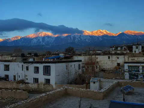
Explore Lo Manthang, Upper Mustang’s ancient walled capital, rich in royal history, Tibetan culture, monasteries, and Himalayan beauty.
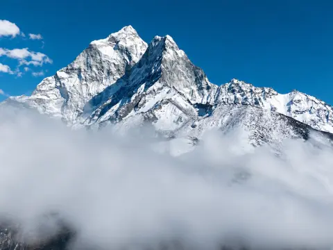
Can beginners trek to Everest Base Camp? Learn about the difficulty, altitude, training, and preparation needed for a successful EBC Trek.
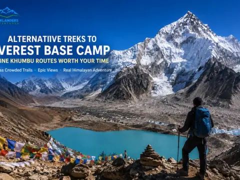
Discover nine incredible alternatives to Everest Base Camp, from Gokyo Lakes and Pikey Peak to remote valleys and challenging high passes.



