Zero-Waste Trekking in Nepal: How to Reduce Plastic on the Trail
10 Aug 2026
Learn how to reduce plastic waste while trekking in Nepal with simple zero-waste tips for water, food, gear, and responsible trail travel.

Everest Base Camp and the Annapurna Circuit get most of the attention, and most of the foot traffic. You share tea houses with dozens of other trekkers, wait in line for photos at viewpoints, and book rooms weeks in advance during peak season. None of that ruins the experience, but it changes it.
Nepal has dozens of other trails that deliver the same mountain views, the same village culture, and the same sense of scale, without the crowds. Some sit in restricted areas that require special permits. Others are simply less known outside trekking circles. All seven routes below give you long stretches of trail where you won't see another group for hours.
This list covers treks across five regions: Annapurna, Manaslu, Everest, Kanchenjunga, and Dolpo. Each one is real, each one is walkable with the right preparation, and each one rewards you with views that rival the famous routes. Treklanders Adventures runs guided trips through every region on this list, including all seven of these specific routes, and can build a custom itinerary around your fitness level and time frame.
A few of these trails sit inside restricted areas, which means Nepal's government caps access through permits, minimum group sizes, and mandatory guides. That system exists partly for security reasons near the Tibetan border and partly to manage tourism pressure on fragile mountain ecosystems. The upside for you is fewer people on the trail. The trade-off is more planning, since you can't just show up at the trailhead and start walking the way you can on parts of the Annapurna or Everest routes.
Read through all seven before picking one. Altitude, trip length, and permit requirements vary a lot between them, and the right choice depends on how much time you have and how much high-altitude experience you're bringing with you.
Crowding on Nepal's popular trails isn't a new problem, but it has grown more visible in the last decade as flight access, tea house numbers, and international interest have all expanded together. Namche Bazaar and Manang now function almost like small trekking towns, with bakeries, bars, and gear shops lining the main paths. That growth has real benefits for local economies, and it makes the popular routes easier and safer for first-time trekkers. It also means solitude on those trails is harder to find, especially during the two peak windows in spring and autumn when flight schedules to Lukla and road access to Manang are at their busiest.
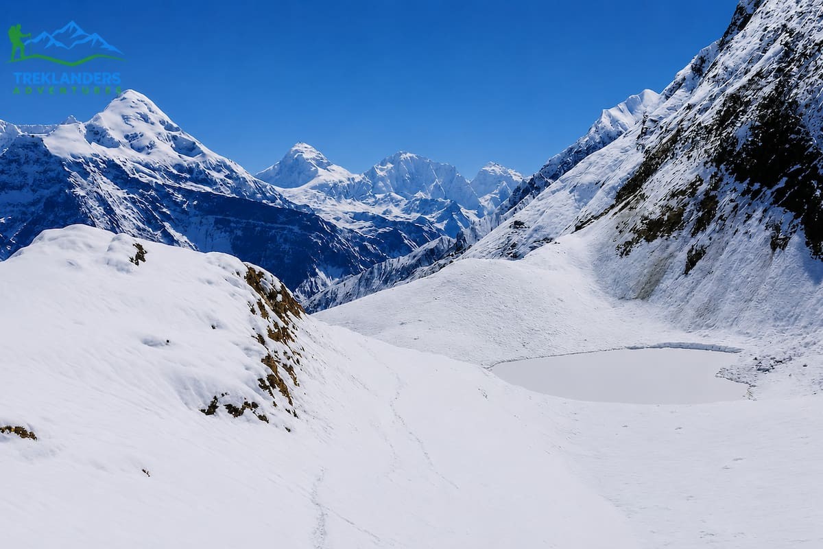
Nar Phu sits in a narrow gorge north of the Annapurna Circuit, tucked between Manang and the Tibetan border. The Nepal government only opened it to foreign trekkers in 2003, and it still requires a restricted area permit plus a licensed guide. That single requirement keeps the numbers low. Where the Annapurna Circuit sees a steady stream of trekkers every day in season, Nar Phu might see a handful of groups in a week.
The trail follows the Nar Khola through a canyon so tight in places that the path is carved directly into the cliff face. You pass chortens, mani walls, and villages that look frozen in an earlier century. Nar and Phu, the two main settlements, sit above 4,000 meters and still follow a Tibetan Buddhist way of life. Stone houses stack on top of each other, prayer flags stretch between rooftops, and yaks graze on terraces cut into the hillside centuries ago.
You typically combine Nar Phu with the Annapurna Circuit, branching off near Koto and rejoining the main trail before or after crossing Thorong La Pass. That combination gives you the isolation of a restricted valley plus the payoff of one of Nepal's most famous passes, all in a single trip. Expect 12 to 18 days depending on how you link the routes.
The trek runs at high altitude for most of its length, so acclimatization matters here as much as anywhere in Nepal. Kyang, at around 3,800 meters, and Phu village, near 4,080 meters, both work well as acclimatization stops. Guides who know the region well will build in rest days without you having to ask.
Best months are April to June and September to November. Winter closes the high passes, and the monsoon turns the trail slick and the rivers dangerous to cross.
The permit system for Nar Phu requires a minimum of two trekkers, which is easy to arrange through an agency even if you're traveling solo, since they'll pair you with another small group. You also need the standard Annapurna Conservation Area Permit alongside the restricted area permit, and both need to be arranged in advance through a registered trekking company in Kathmandu. Independent trekking, without a guide, isn't an option here.
Wildlife sightings pick up the further you get from Koto. Blue sheep graze on the slopes above Phu, and the region has a documented snow leopard population, though actual sightings are rare and mostly reported by local herders rather than trekkers. Golden eagles and lammergeiers are easier to spot, circling the thermals above the gorge.
The architecture in Nar and Phu is worth slowing down for on its own. Houses are built tightly together, often sharing walls, with flat roofs used for drying crops and storing fodder through the winter. Some structures date back several hundred years, and the layout of both villages reflects a defensive design from an era when raids from across the border were a real concern. Walking through the narrow lanes between houses feels closer to visiting a preserved settlement than a functioning modern village, except that it's still very much lived in.
What makes Nar Phu worth the extra permit cost and planning is the sense that you're walking through a place that hasn't adjusted itself for visitors. There are no bakeries selling apple pie, no WI-FI signs on every tea house. You eat what the village has, sleep where the village sleeps you, and walk through a valley that most trekkers in Nepal will never see.
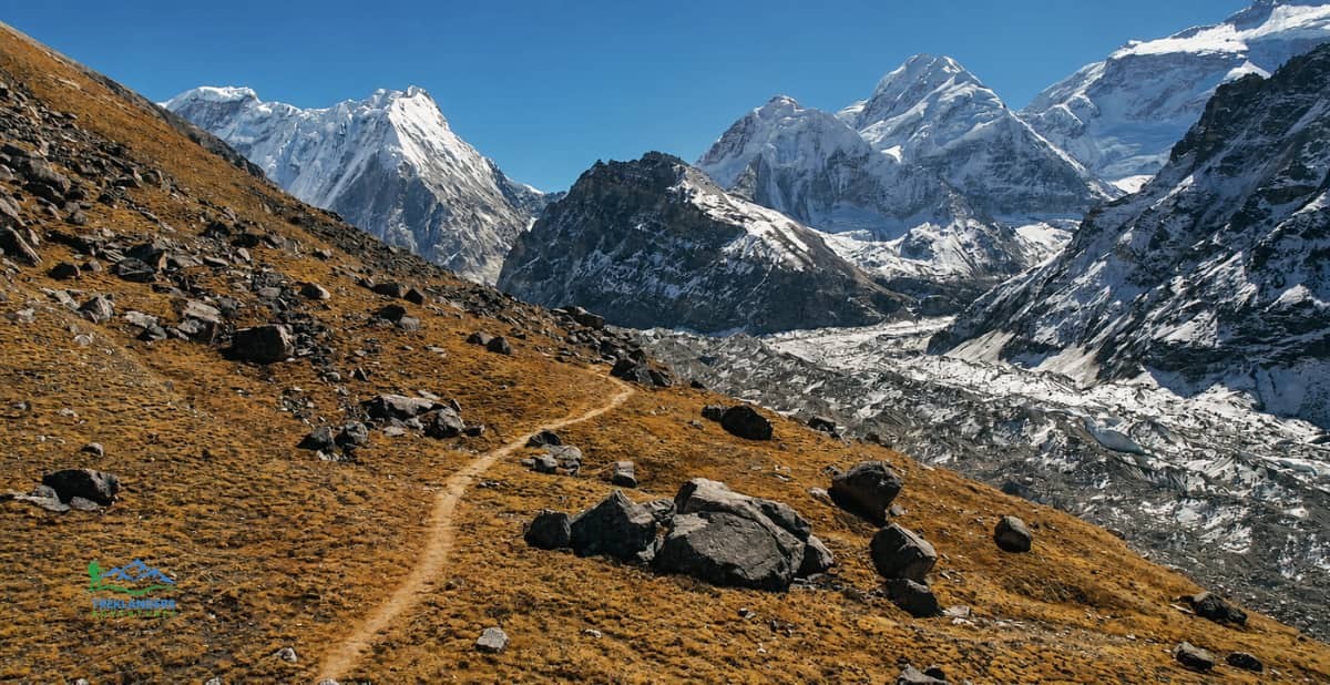
Kanchenjunga is the third highest mountain in the world, and it sits about as far from Kathmandu as you can get while staying inside Nepal. That distance is the main reason it stays quiet. Getting to the trailhead takes a full day of driving or a short flight followed by a long drive, and the region has no roads or airstrips near the mountain itself.
The trek covers two base camps rather than one. The North Base Camp trail ends near Pangpema, where you get a direct view of Kanchenjunga's north face. The South Base Camp trail ends near Oktang, with views of the south face and the peaks around Yalung Glacier. Full loop itineraries connect both sides via the Mirgin La and Sinion La passes, turning the trek into a three-week circuit through some of the most varied terrain in the country.
You start in subtropical forest full of rhododendron and orchid, climb through pine and birch, and end up walking on glacial moraine below an 8,586-meter wall of rock and ice. Along the way you pass through Limbu and Rai villages in the lower sections and Tibetan-influenced Sherpa communities higher up. Ghunsa, one of the main stops, has a monastery, a small school, and terraced fields that somehow survive at 3,595 meters.
Kanchenjunga sits inside a conservation area, which means you need a restricted area permit along with the standard conservation permit, and you have to trek with a licensed guide and in a group of at least two. Tea houses exist along most of the route now, but they're basic compared to what you'd find on Everest Base Camp or Annapurna Circuit. Some sections still require camping, particularly if you're doing the full base-to-base loop.
Expect 20 to 24 days for the full trek, or shorter variations of 15 to 18 days if you focus on one base camp. Best seasons match the rest of Nepal: spring and autumn, with autumn generally offering the clearer skies.
The approach itself is part of the appeal. You start low, around 1,200 meters near Taplejung, and climb gradually through a forest that shifts from banana and cardamom plantations to bamboo and rhododendron before the treeline gives way to alpine scrub. That gradual gain helps with acclimatization, and it means the trek doubles as a walk through nearly every ecological zone Nepal has to offer, from subtropical lowland to high-altitude desert near the glacier.
Because the region got tea house infrastructure relatively recently, trekking agencies still recommend carrying a sleeping bag rated for well below freezing and being ready for basic facilities even in the larger villages. Ghunsa and Lelep have the most reliable services along the route. Above Ghunsa, options thin out fast, and some itineraries still rely on tented camps for the highest stretches near Pangpema and Oktang.
The cultural mix along the trail is broader than most single treks in Nepal offer. Lower down, you pass through communities of Limbu and Rai people, ethnic groups with their own languages, dress, and farming traditions distinct from the Sherpa culture most trekkers associate with Himalayan trekking. Higher up, near Ghunsa and Lhonak, the population shifts to Tibetan-influenced Sherpa communities with their own dialect and customs shaped by centuries of trade across the nearby passes into Tibet. Few other treks in Nepal move through this much cultural variation in a single route.
Few trekkers make it out here, and that scarcity is the point. You get days on the trail where the only sounds are your own footsteps and the wind coming off the glacier.
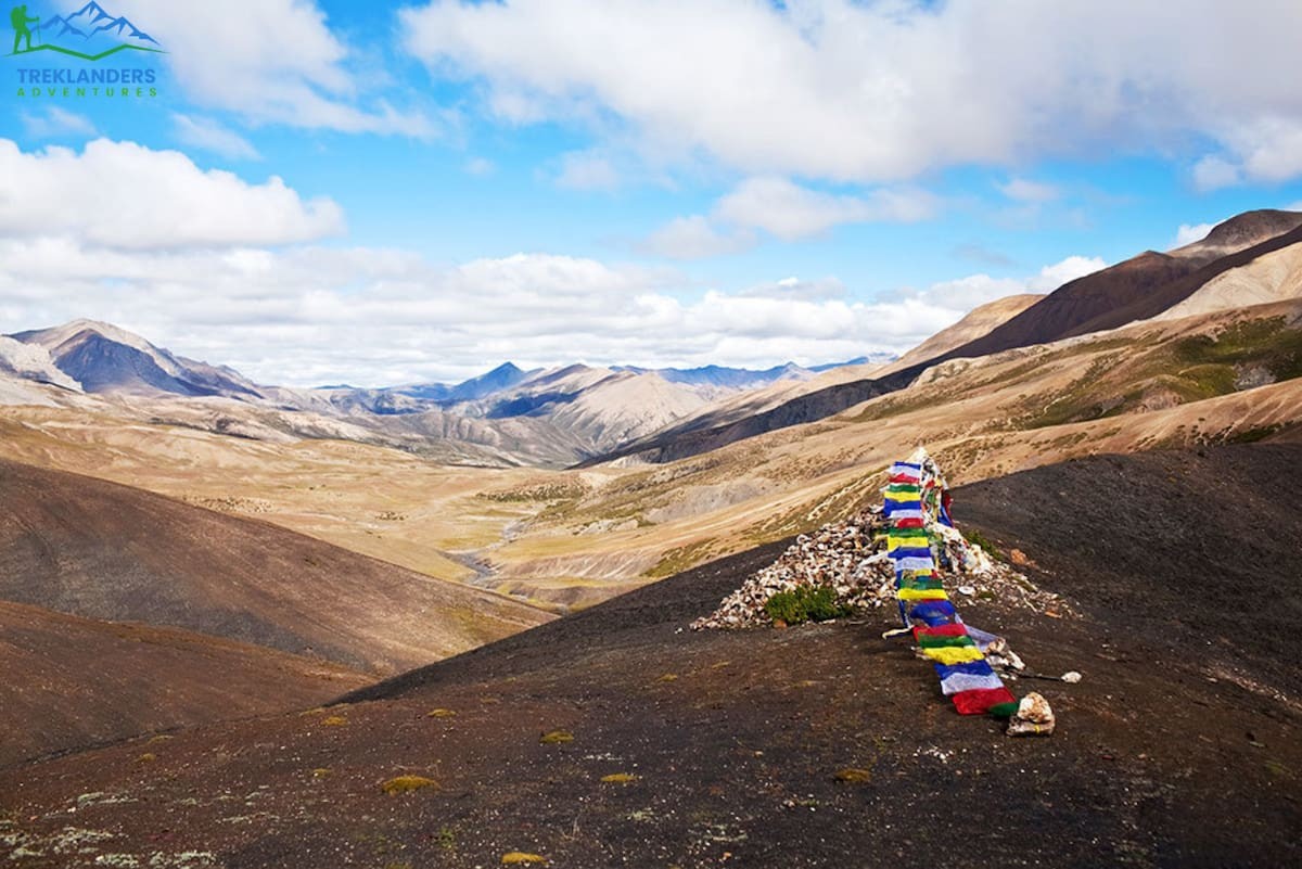
Upper Dolpo is the most remote trekking region in Nepal that's open to foreigners at all. It sits in the rain shadow of the Himalaya, in the far northwest, bordering Tibet. The landscape looks more like the Tibetan plateau than anything else in Nepal: dry, wind-scoured, and colored in shades of ochre and rust rather than green.
Peter Matthiessen wrote about this region in his book "The Snow Leopard," and the area still carries some of that mystique. The Bon religion, older than Tibetan Buddhism, survives here in its purest form in Nepal. Villages like Shey and Saldang follow customs that predate most of what you'd see elsewhere in the Himalaya. Shey Phoksundo Lake, the deepest lake in Nepal, sits inside the trek route with water so turquoise it looks artificially colored.
Getting into Upper Dolpo requires a special restricted area permit that costs more than any other trekking permit in Nepal, along with a mandatory guide and a minimum group size. The permit fees exist partly to limit numbers, and they work. You'll walk for days at a time without seeing another trekking group.
The trek itself is long and demanding. A full crossing, going through Upper Dolpo via Shey Gompa and over passes like Kang La and Nagdala La, takes three weeks or more. Altitude is a constant factor, with several passes above 5,000 meters. Trails are rougher than in more developed regions, infrastructure is limited, and you need a guide who genuinely knows the route, since GPS coverage and signage are unreliable this far out.
The reward matches the difficulty. Dolpo gives you snow leopard habitat, blue sheep grazing on hillsides, centuries-old monasteries built into cliff faces, and villages where salt trading with Tibet still shapes the local economy the way it has for generations. Best months are July through September, which is unusual for Nepal since it's monsoon season everywhere else. Dolpo's rain shadow location means it stays dry when the rest of the country is soaked.
Physically, Dolpo demands more than most other treks on this list. You're not just gaining altitude once and holding it. The route repeatedly climbs over 5,000-meter passes and drops back down into valleys, which means your body never gets a long stretch to fully acclimatize before the next climb. Agencies that run this trek regularly build in extra rest days and shorter walking days in the first week specifically to manage that pattern.
Food and lodging also require more self-sufficiency than on routes with established tea houses. Some sections have basic lodges now, particularly around Shey Gompa and Ringmo, but a full crossing still typically involves porters carrying camping gear and food for stretches where no lodging exists at all. That logistical weight is part of why Dolpo trips cost more and take longer to arrange than treks in more developed regions.
Local life in Dolpo revolves around a seasonal rhythm that hasn't changed much in generations. Families move livestock between summer and winter pastures, trade salt and wool for grain with lower-altitude villages, and time major festivals around the agricultural calendar rather than a fixed tourist season. Trekking through in July or August means you're likely to cross paths with caravans of yaks and horses carrying goods between villages, a detail that makes the region feel less like a trekking destination and more like a place that simply allows you to pass through its ordinary rhythms.
If you want a trek that feels genuinely unexplored, Upper Dolpo is as close as Nepal gets.
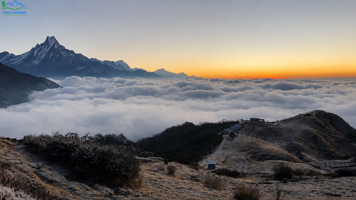
Khopra Danda sits in the Annapurna region, close enough to Poon Hill that many trekkers pass right by it without knowing it's there. That's the appeal. You get Annapurna's dramatic views without Poon Hill's sunrise crowds.
The trail branches off the standard Ghorepani-Poon Hill route near Ghorepani or Tadapani, climbing to a ridge at around 3,660 meters. From Khopra Danda you get a wide panorama that includes Annapurna South, Dhaulagiri, Nilgiri, and Machhapuchhre, all without the crush of people you'd find at Poon Hill's viewpoint during sunrise.
Many itineraries extend the trek to Khayer Lake, a sacred lake sitting at close to 4,500 meters below the Annapurna South face. The final push to the lake is a long, steep day, but the setting, an alpine lake ringed by snow peaks with almost no other visitors, makes it one of the more underrated viewpoints in the entire Annapurna region.
The trek doesn't require a restricted area permit, only the standard TIMS card and Annapurna Conservation Area Permit, which makes it more accessible than Nar Phu, Kanchenjunga, or Dolpo. That accessibility, combined with its lower profile, makes Khopra Danda a good option if you want a quieter trek without dealing with the cost and paperwork of a restricted region.
Tea houses along the route are simple but functional, and the trail itself moves through rhododendron forest that turns the hillsides red and pink from March through April. You'll pass through Gurung and Magar villages lower down, with terraced fields and stone farmhouses that show what rural Annapurna life looks like away from the main tourist trail.
Expect 7 to 10 days depending on whether you include Khayer Lake and how you connect to Pokhara at the start and end. Difficulty is moderate, with the altitude gain to Khopra Danda and Khayer Lake being the main challenge rather than technical terrain.
The trail also works well as a second trek for someone who already did Poon Hill on an earlier trip to Nepal and wants to see more of the same region from a different angle. Because Khopra Danda branches off a route many trekkers already know, logistics are simple, transport connections from Pokhara are frequent, and you don't need to build in extra buffer days for unpredictable transit the way you might on a trek starting from a more remote trailhead. That combination of low logistical friction and genuine solitude on the trail is hard to find anywhere else in the Annapurna region.
Khopra Danda also works well as an early-season or late-season option, since its lower average elevation compared to Nar Phu or Dolpo means the trails stay walkable slightly outside the core spring and autumn windows. Trekkers doing it in early March or late November, right on the edge of the usual seasons, often report having whole sections of ridge to themselves even though these dates would be busy on the main Annapurna trails.
If your schedule is tight and you still want the Annapurna experience minus the queues, Khopra Danda is one of the best trade-offs in the country.
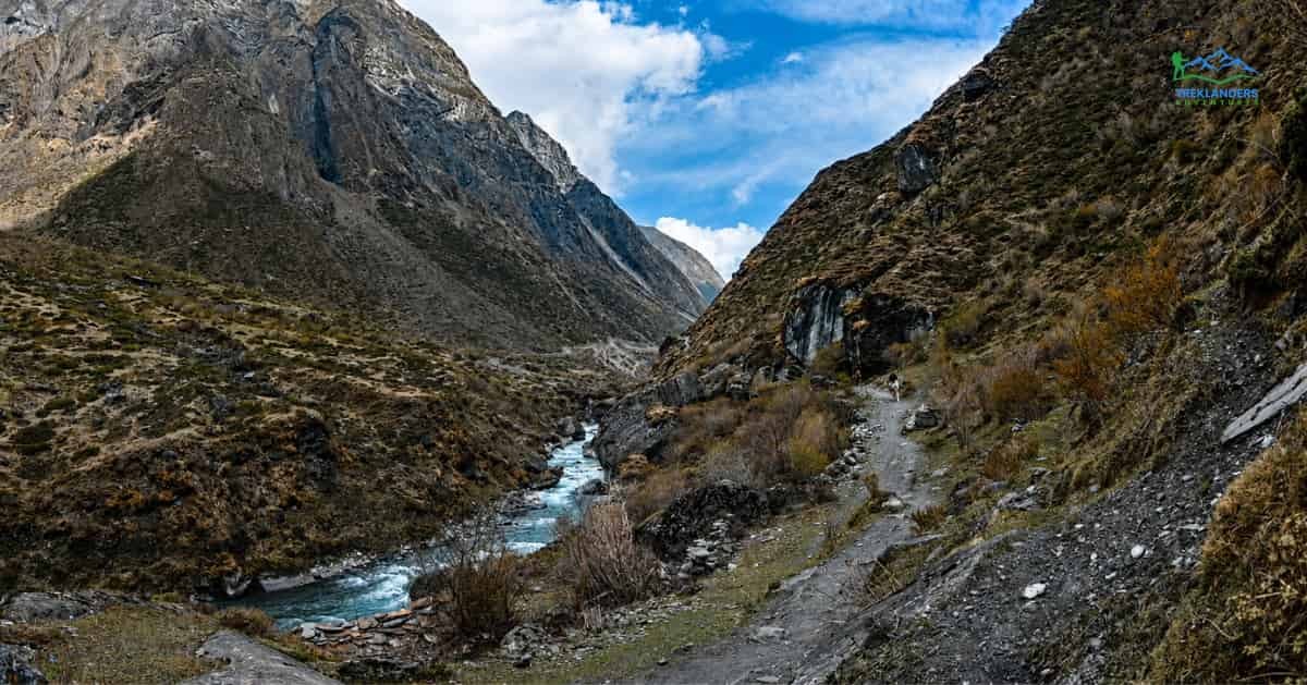
Tsum Valley sits north of the Manaslu Conservation Area, close to the Tibetan border, and it stayed closed to foreign trekkers until 2008. That late opening, combined with a restricted area permit requirement, has kept the valley well outside the mainstream trekking circuit even as Manaslu itself has grown in popularity.
The valley takes its name from the Tibetan word for vivid, and the local Tsumba people follow a Tibetan Buddhist tradition heavily shaped by the Nyingma and Kagyu schools. Ancient monasteries dot the route, including Rachen Gompa and Mu Gompa, both active nunneries and monasteries where you can sit in on prayer sessions if the timing works out. Milarepa, the famous Tibetan yogi, is said to have meditated in caves within the valley, and several of those caves remain pilgrimage sites today.
You typically start the trek from the same trailhead as the Manaslu Circuit, at Soti Khola or Machha Khola, then branch north into Tsum Valley near Lokpa rather than continuing around Manaslu. The trail follows the Shiar Khola through a gorge before opening into the wider upper valley, where villages like Chhokangparo and Nile sit surrounded by barley fields and mani walls stretching hundreds of meters.
Because Tsum Valley requires the same restricted area permit system as Manaslu, along with a guide and minimum group size, it never sees the volume of independent trekkers that open regions attract. Most tea houses here run on a family basis, and meals reflect what the valley actually produces: buckwheat, potatoes, and dairy from yaks and cows crossed with yaks, known locally as dzo.
A standard Tsum Valley trek runs 14 to 18 days, including time to acclimatize and explore the upper valley toward the Tibetan border near Mu Gompa. Some itineraries combine it with a full Manaslu Circuit crossing over Larke La, extending the trip to three weeks or more.
Spring and autumn work best, though Tsum's position in a partial rain shadow means it handles monsoon slightly better than some other Himalayan valleys. Still, trail conditions get muddy and visibility drops, so the shoulder seasons remain the better choice.
Local festivals add another layer if your timing lines up. Saka Dawa, the Buddhist celebration marking Buddha's birth, enlightenment, and death, draws villagers to Mu Gompa and Rachen Gompa for ceremonies you can often observe respectfully as a guest. Guides familiar with the valley can tell you in advance whether a festival falls within your trip dates, since these events shift each year based on the lunar calendar.
Compared to Manaslu Circuit, which has grown steadily busier as more agencies add it to their programs, Tsum Valley has stayed roughly the same size for years. The permit and guide requirements act as a natural cap, and there's no indication that's going to change, which is good news if you're planning a trip a year or two out and worried about the valley getting overrun before you get there.
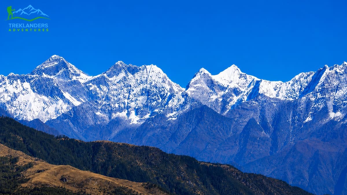
Pikey Peak sits in the Solu region, south of the main Everest trail, and it carries a specific claim to fame: Sir Edmund Hillary reportedly called the sunrise view from its summit one of the best in the world, ranking it above the view from Kala Patthar. Whether or not that quote is accurate in every detail, the view itself backs it up. From the 4,065-meter summit, you get a direct line of sight to Everest, Lhotse, Makalu, and a wide stretch of the eastern Himalaya, all in one sweep.
What keeps Pikey Peak quiet is its position relative to the main Everest Base Camp trail. Most trekkers fly straight into Lukla and head north toward Namche Bazaar, skipping the Solu region entirely. Pikey Peak sits far enough south and low enough in elevation that it doesn't fit into a standard EBC itinerary, so it's mostly trekked as its own short trip.
That's actually its advantage. A Pikey Peak trek runs 5 to 7 days, far shorter than EBC's typical 12 to 14, and it starts with a drive from Kathmandu rather than a flight to Lukla, which cuts out one of the more unpredictable parts of Everest region logistics. You walk through rhododendron and pine forest, pass through Sherpa villages that still farm and raise livestock as their main livelihood, and visit monasteries like Pikey Peak Base Camp Gompa without competing for space with large tour groups.
The trail doesn't require a restricted area permit. You'll need the standard Gaurishankar Conservation Area entry permit, which is straightforward to arrange. Altitude gain is moderate compared to treks that push above 5,000 meters, making it a reasonable option for trekkers who want serious mountain views without committing to three weeks of high-altitude walking.
Because the drive from Kathmandu replaces the Lukla flight, Pikey Peak also sidesteps one of the more stressful parts of planning an Everest region trip. Lukla flights are notorious for weather delays, and a single canceled day can throw off an entire EBC schedule. The road approach to Pikey Peak's trailhead near Jiri or Shivalaya runs on a fixed schedule that weather rarely disrupts in the same way, which makes the trek easier to plan around a fixed set of vacation dates.
Best months are the usual spring and autumn windows, though Pikey Peak's lower average elevation means it's also walkable in winter for trekkers comfortable with cold mornings and the chance of snow near the summit.
The trek also gives you a look at a part of Sherpa life that the main Everest trail has largely moved past. Villages in the Khumbu region near Everest Base Camp now run mostly on tourism, with lodges, gear shops, and bakeries lining the main trail. Solu's villages still farm potatoes and barley, keep cattle, and run smaller, family-operated tea houses where you're more likely to eat a meal cooked specifically for you than one pulled from a standardized trekker menu.
For anyone short on time who still wants an authentic Everest region experience away from the crowds funneling through Namche and Tengboche, Pikey Peak delivers a comparable payoff in a fraction of the days.
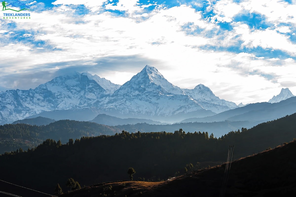
Mohare Danda sits in the same general stretch of the Annapurna region as Khopra Danda and Poon Hill, but it pulls a fraction of the visitors either of those routes get. The trek climbs to a ridge at around 3,300 meters, below Khopra Danda in elevation but with a similarly wide sweep of the Annapurna and Dhaulagiri ranges, plus Machhapuchhre's distinctive fishtail peak rising above the foreground hills.
What sets Mohare Danda apart is how the trail was developed. Rather than growing up around existing trekking traffic the way Poon Hill did, the route was built through a community tourism initiative involving several villages along the ridge, including Ghorepani, Deurali, and Nangi. Local families run the lodges, profits stay within the villages, and the trail itself was cut and maintained specifically to spread trekking income to communities that the older, more famous routes bypass. That structure keeps numbers modest by design rather than by accident.
The forest sections leading up to the ridge run through some of the healthiest rhododendron cover in the Annapurna region, dense enough in March and April that the trail passes under a near-continuous canopy of red and pink blossoms. Below the treeline, you pass through Magar and Gurung villages where terraced farming still shapes daily life, with millet, corn, and potatoes grown on slopes steep enough that the fields look more like staircases than fields.
A sunrise from the Mohare Danda viewing tower delivers a panorama that stretches from Dhaulagiri in the west to Annapurna South and Machhapuchhre in the east, taken in without the shoulder-to-shoulder crowd that gathers at Poon Hill's tower most mornings in peak season. Trekkers who've done both routes consistently point to Mohare Danda as the quieter version of the same experience, minus a few hundred meters of elevation and a fraction of the company.
The trek doesn't require a restricted area permit, only the standard TIMS card and Annapurna Conservation Area Permit, and it doesn't demand technical skill or serious altitude experience. Trail conditions are well maintained thanks to the community lodge system, and distances between stops are manageable, which makes it a solid option for trekkers who want a genuine Himalayan trek without multiple weeks of commitment.
A standard Mohare Danda trek runs 6 to 8 days, often starting and ending in Pokhara, which keeps logistics simple compared to treks that require flights or long restricted-area planning. Best months follow the usual pattern: March through May for the rhododendron bloom, and late September through November for the clearest mountain views.
Many trekkers combine Mohare Danda with a short extension toward Khopra Danda or Khayer Lake, since the trailheads sit close enough together to link without backtracking through Pokhara in between. That combination gives you two ridgelines, two sunrise viewpoints, and a longer stretch of community-run lodges, all within a single two-week window. For a first Nepal trek, or a second trip after already doing Poon Hill or Annapurna Base Camp, that pairing covers a wide slice of what makes the Annapurna region worth returning to.
For trekkers who want the reward of a big Himalayan sunrise without the crowd that comes with the country's best-known viewpoint, Mohare Danda delivers that trade-off about as well as any trek in Nepal.
These seven routes cover a wide range of difficulty, permit requirements, and trip length. Khopra Danda, Pikey Peak, and Mohare Danda work well if you have a week or so and want moderate walking with big views. Nar Phu and Tsum Valley suit trekkers who want restricted-area culture and scenery within a two to three week window. Kanchenjunga and Upper Dolpo are for trekkers with more time, more trekking experience, and a genuine interest in reaching the parts of Nepal that most visitors never see.
None of these routes are secret. Local guides, conservation offices, and agencies like Treklanders Adventures know them well and run trips through all of them regularly. What they share is distance from the standard circuit, either physical distance from Kathmandu, permit restrictions that limit numbers, or a location that simply doesn't fit into a typical two-week Nepal itinerary.
If you've already done Everest Base Camp or the Annapurna Circuit and you're looking for what comes next, or if you want your first trek in Nepal to skip the crowds entirely, any of these seven routes will get you there. Talk to a local operator about permits, group size requirements, and the right season for the specific region you choose, since conditions and access rules vary more in these areas than they do on the main trails.
Preparation matters more on these routes than it does on the standard circuits. Tea houses are sparser, rescue logistics take longer given the distance from Kathmandu, and mobile signal disappears for days at a time in several of these valleys. Pack layers for temperature swings that can hit 20 degrees Celsius or more between midday sun and pre-dawn starts, bring a water purification method rather than relying on bottled water, and carry a basic first aid kit even when trekking with a guide. None of this should discourage you. It's simply the trade-off for trails that haven't been smoothed out for high volume tourism.
Fitness preparation is worth taking seriously too, particularly for Kanchenjunga and Upper Dolpo, both of which involve multiple days above 4,500 meters and repeated high-altitude passes. Regular cardio training in the two to three months before departure, along with hikes carrying a loaded pack if you have access to hilly terrain, will make a noticeable difference in how you feel by the second week. Trekkers who arrive undertrained tend to struggle less with the walking itself and more with recovery, since tired legs on day twelve don't respond to rest the way they would on day two.
The regions covered here also differ in how they've been shaped by geography and trade. Dolpo's connection to Tibet through salt caravans, Nar Phu's position as a crossing point between Manang and the high plateau, and Mohare Danda's community-run lodge system all tell a slightly different story about how people have organized life around the Himalaya. Walking through them gives you more than views. It gives you a sense of how varied life at altitude actually is, region by region, valley by valley.
Nepal's popular routes earned their reputation for good reason. Everest Base Camp and the Annapurna Circuit deliver world-class trekking, and there's nothing wrong with choosing them, especially for a first visit. But if you're looking for a quieter trail, a slower pace, and villages that haven't scaled up around tourism, these seven routes are where to look next. Book with an operator who knows the specific region well, plan around the right season, and give yourself enough days to acclimatize properly.
Take the time to research each region's permit rules and seasonal windows before you commit. Talk to a guide who has actually walked the trail you're considering, not just one who can quote you a price for it. That difference shows up on day eight, when the weather turns or the trail forks in a way the map doesn't quite capture, and having someone who knows the ground matters more than anything printed in a brochure.
The mountains will still be there. So will the quiet.
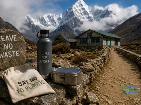
Learn how to reduce plastic waste while trekking in Nepal with simple zero-waste tips for water, food, gear, and responsible trail travel.
Prepare for the Manaslu Circuit Trek with essential tips on permits, altitude, Larke Pass, fitness, gear, weather, accommodation, and safety.
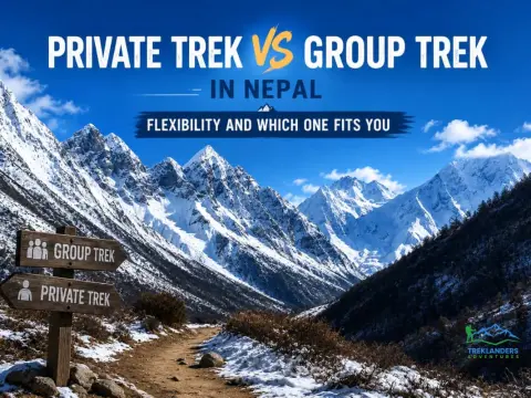
Choosing between a private and group trek in Nepal depends on flexibility, pace, budget, and travel style. Compare both to find your best fit.



