Shree Kharka Trek Guide: Gateway to Tilicho Lake on the Annapurna Circuit
30 Jul 2026
Discover Shree Kharka, the scenic gateway to Tilicho Lake and one of the Annapurna Circuit's most rewarding high-altitude stops.

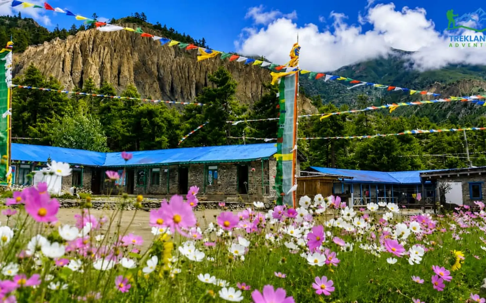
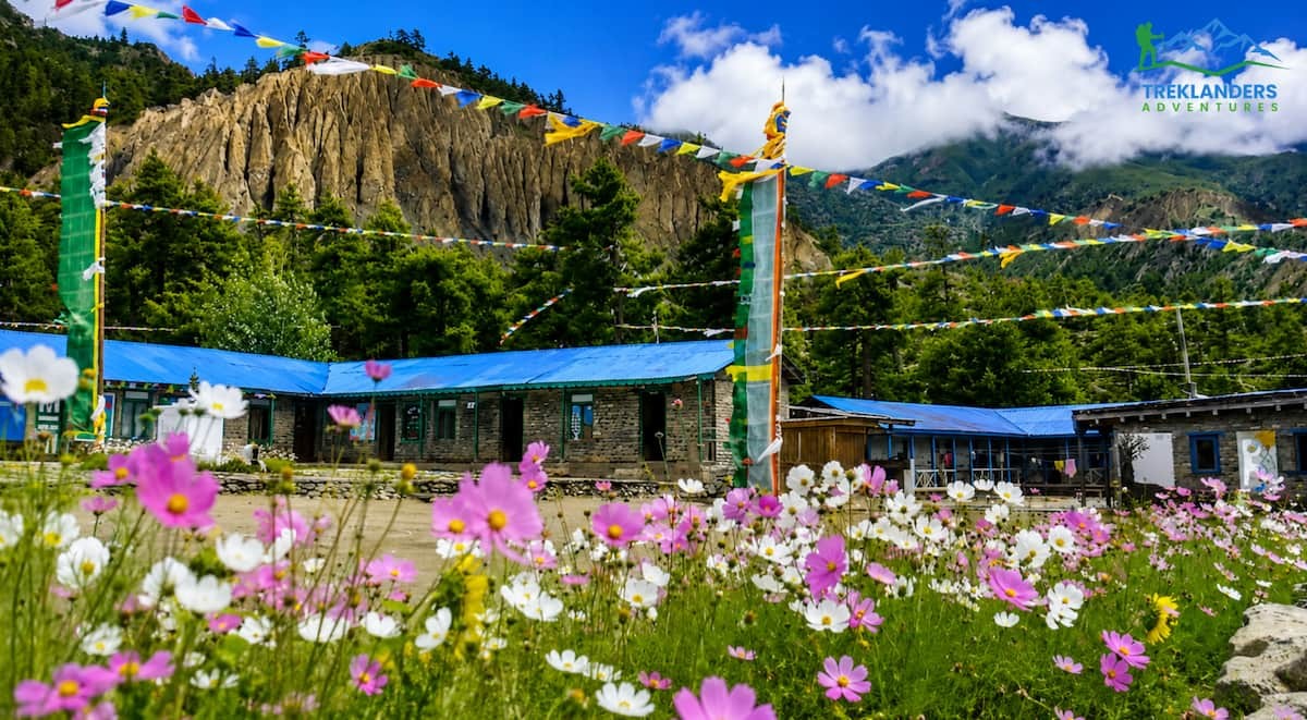
Nepal shuts down for monsoon in the minds of most trekkers, and that reputation shapes how a lot of travelers plan their entire year around avoiding these months altogether. You hear the word monsoon and you picture flooded trails, leeches, and zero mountain views. That picture is only half true, and it overlooks a set of regions where the season barely changes anything at all. Large parts of Nepal do get soaked from June through August. But a handful of regions sit tucked behind the highest peaks on earth, and those regions barely notice the rain. This is the rain-shadow effect, and it turns monsoon into a genuine trekking season rather than a season to avoid.
This guide breaks down what monsoon actually does to Nepal's trails, why certain regions stay dry and clear while others turn to mud, and which specific treks deliver real value during these months. You will get a straight answer on whether monsoon trekking is worth your time, plus a detailed look at the routes that make it work.
Most travel advice on this topic treats monsoon as a single, uniform obstacle. It is not. Nepal's geography splits the country into distinct climate zones within a single trekking day, and understanding that split is the difference between a trip that gets rained out and one that runs as smoothly as anything you would book in October. If you already have summer dates locked in, this is the information that decides whether your trek works or falls apart.
Monsoon season in Nepal runs roughly from mid-June to early September. Moisture-heavy winds sweep up from the Bay of Bengal and hit the southern flank of the Himalayas. When that air rises against the mountains, it cools, condenses, and drops as rain. This happens most intensely on the southern and eastern slopes of the range, the areas closest to India and the lower hills that catch the brunt of the incoming clouds.
For most of the country, this means daily rain. Trails in the middle hills turn slick. Rivers swell. Leeches come out in the humid forest zones below 2,500 meters. Flights to mountain airstrips face delays because clouds sit low over the valleys. This is the reality trekkers picture when they hear the word monsoon, and for the classic low and mid-altitude routes on the southern side of the range, that picture holds up.
But Nepal is not one climate zone. The country stretches from tropical lowlands to some of the highest terrain on the planet, and the Himalayan range itself works like a wall. Once you get to the northern side of that wall, the weather changes completely.
A rain shadow forms when a mountain range blocks moisture from reaching the land on its far side. The clouds dump their rain on the windward slope, the side facing the ocean or the source of moisture. By the time the air crosses the peaks and descends on the other side, it has lost most of its water. That descending air is dry, and it often warms as it drops, pulling any remaining moisture out even further.
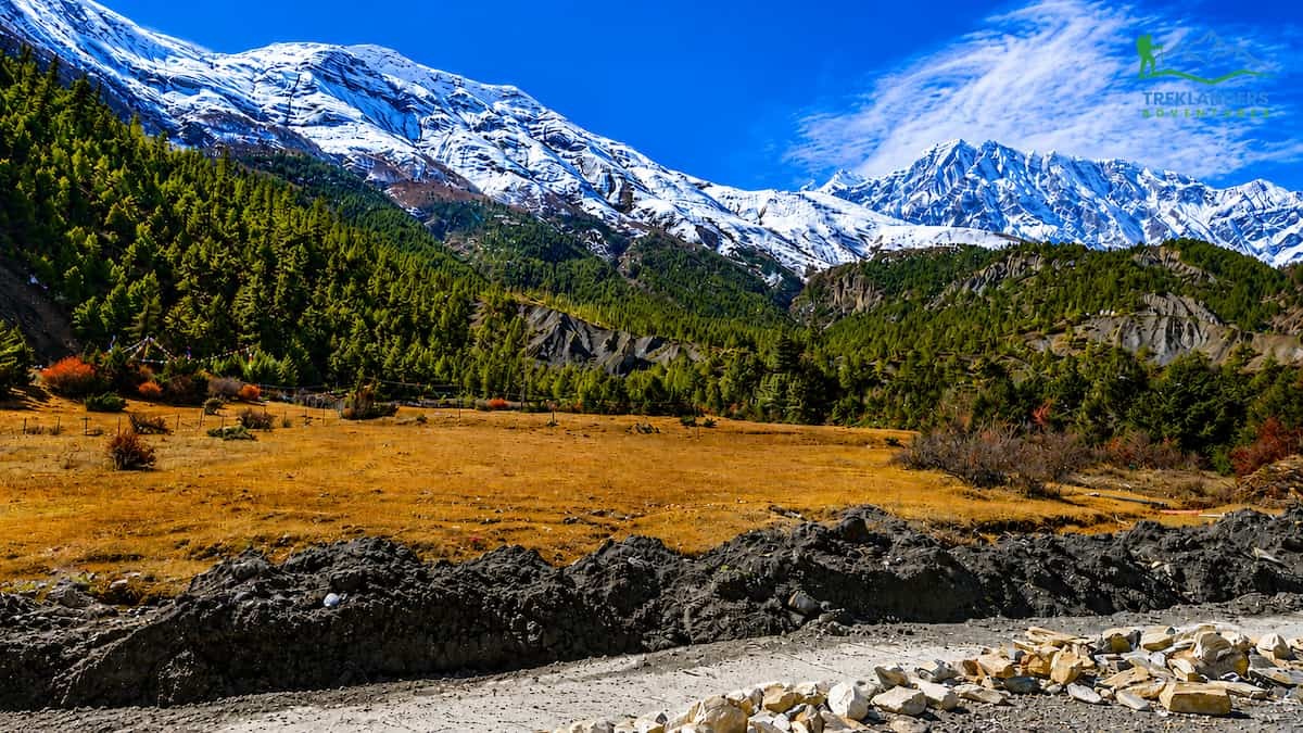
In Nepal, the Himalayan range runs east to west and faces the monsoon winds head-on. The southern slopes catch nearly all the rain. The trans-Himalayan zones on the northern side of the main range, places like Upper Mustang, Upper Dolpo, and the upper Manang valley, sit in the shadow of peaks like Annapurna and Dhaulagiri. These regions look and feel like the Tibetan plateau: dry, wind-carved, and largely treeless above certain elevations. They receive a fraction of the rainfall that falls on Pokhara or the Everest region's lower valleys during the same months.
This is not a minor technicality. It is the reason a small set of treks in Nepal function normally during monsoon while everything around them gets rained out.
If your travel dates land in June, July, or August and you cannot shift them, you have two real choices. You either give up on trekking in Nepal for this trip, or you pick a route that works with the season instead of against it. Rain-shadow treks are that second option, and they come with genuine advantages beyond simply staying dry.
Trails hold up.** Landslides and washed-out bridges are the biggest safety concern during monsoon, and they concentrate almost entirely in the wetter, lower-altitude sections south of the main range. The dry trans-Himalayan trails do not face this problem in the same way. The ground stays firm, and the paths you walk on in July look close to how they look in October.
You get the valleys nearly to yourself.** Autumn and spring are peak season across Nepal, and the popular trails get crowded. Teahouses fill up, dining rooms get loud, and you queue for basic rooms in the busiest villages. Monsoon flips this. Guides report some of the quietest trail conditions of the year in these dry zones, with trekkers moving through Lo Manthang or the Nar Phu gorge without the usual crowds.
Flights and logistics are more predictable in these zones.** A lot of monsoon flight cancellations happen because low cloud sits over valleys on the southern side of the range, blocking the small aircraft that serve mountain airstrips like Lukla. The overland or short-flight approaches into the rain-shadow regions do not face the same cloud buildup, since the terrain itself is drier and the weather patterns are different.
You catch cultural events that line up with these months.** Some of the most vivid festivals in trans-Himalayan Nepal fall during summer. Upper Mustang's Yartung festival, held around the August full moon, brings horse racing, archery, and communal gatherings to Lo Manthang and the wider Muktinath valley. Trekking during monsoon in this region can mean walking straight into a festival you would otherwise miss entirely.
None of this means monsoon trekking works everywhere. It means it works in specific places, for specific reasons, and picking the right region is the entire game.
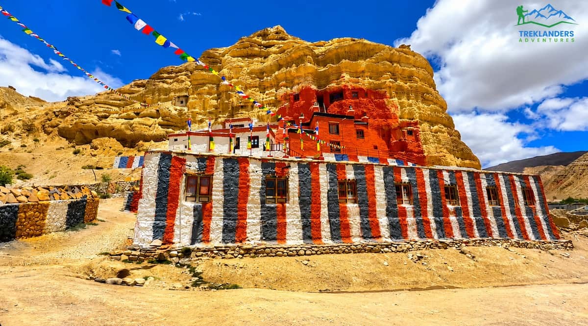
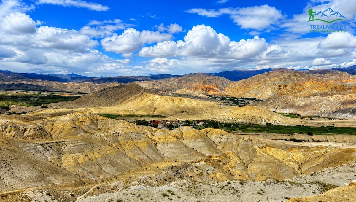
Upper Mustang sits behind the Annapurna and Dhaulagiri massifs, two of the tallest mountains on earth, and this positioning makes it about as dry as trekking terrain gets in Nepal. The landscape looks nothing like the lush, terraced hills most people associate with the country. Instead you get wind-sculpted canyons, ochre and red rock faces, and wide open valleys that resemble the Tibetan plateau far more than they resemble anything in the Annapurna foothills just a few days' walk south.
The trek typically starts with a flight or drive to Jomsom, then follows the Kali Gandaki valley north toward Kagbeni, the gateway to the restricted region. From there, the trail climbs through Chele, Syangboche, and Ghami before reaching Lo Manthang, the walled former capital of the Mustang kingdom. Lo Manthang holds centuries-old monasteries, cave complexes carved into cliff faces, and a royal palace that still stands as a monument to a culture that developed almost entirely independent from the rest of Nepal.
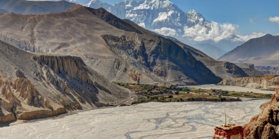
During monsoon, this region barely changes. Rainfall stays minimal, skies stay mostly clear, and the trails remain firm underfoot. The lower approach through Jomsom and the Kali Gandaki gorge does see occasional showers, since that stretch sits closer to the range's edge, but even there, conditions rarely disrupt a trek in the way that monsoon does elsewhere in Nepal.
Upper Mustang requires a restricted area permit and travel with a licensed guide, which is standard for this region regardless of season. What makes it worth prioritizing for a monsoon trip specifically is the combination of reliable weather, dramatic and unusual scenery, and a cultural depth that rewards slower, more deliberate travel. This is not a trek you rush. The villages, monasteries, and cave systems along the way reward time, and monsoon's quieter trail conditions actually suit that pace well.
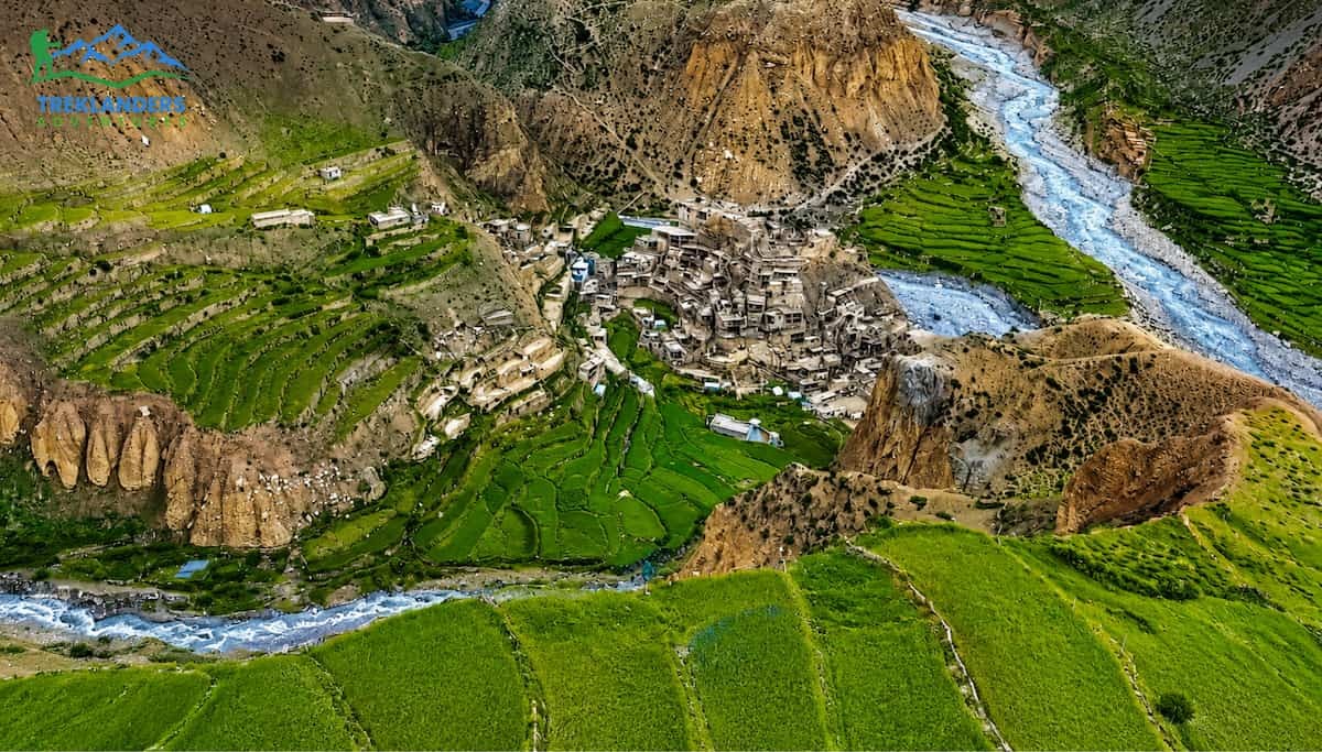
Nar Phu sits in a narrow valley system tucked between the Annapurna and Manaslu ranges, accessed through a gorge so tight in places that the trail runs along carved ledges above the river. This valley only opened to trekkers in the early 2000s, and it still sees a fraction of the traffic that flows through the main Annapurna Circuit.
Like Upper Mustang, Nar Phu benefits from its position on the northern, rain-shadow side of the Annapurna range. The approach walk from Koto, along the Annapurna Circuit trail, passes through denser forest and does catch some monsoon rain. But once the trail turns off toward Nar Phu and climbs into the gorge, the terrain dries out fast. The villages of Phu and Nar themselves sit in high, arid terrain closer in character to Tibet than to the rest of the Annapurna region.
The two villages that give the valley its name could not feel more different from each other despite sitting only a few hours apart. Phu is the more remote of the two, a cluster of stone houses beneath a ruined fort, inhabited by a small community that has kept a distinct dialect and set of customs. Nar sits lower and feels more open, with prayer flags strung across the valley and a monastery that anchors the village's daily rhythm.
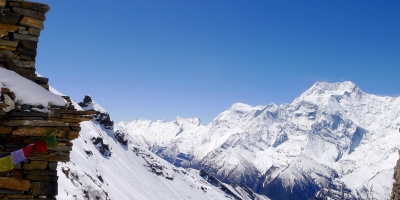
Trekkers often combine Nar Phu with a crossing of Kang La pass into the Manang valley, connecting this hidden corridor to the wider Annapurna Circuit trail. During monsoon, this combination works particularly well, since both Nar Phu and upper Manang sit largely within the rain shadow. The pass crossing itself sits above 5,000 meters and carries real weather risk regardless of season, so trekkers should treat it with the same caution they would in any month, but the approach and the valleys on either side stay comparatively dry through the wettest weeks of summer.
Nar Phu also requires a restricted area permit and a guide, and trekking agencies typically combine it with either the Annapurna Circuit or a standalone loop back through Koto. Because this valley receives so little traffic even in peak season, the drop in visitor numbers during monsoon barely registers. What you gain instead is a dry trail through one of the least-visited corners of the Annapurna region, at a time of year when almost nowhere else in Nepal offers that combination.
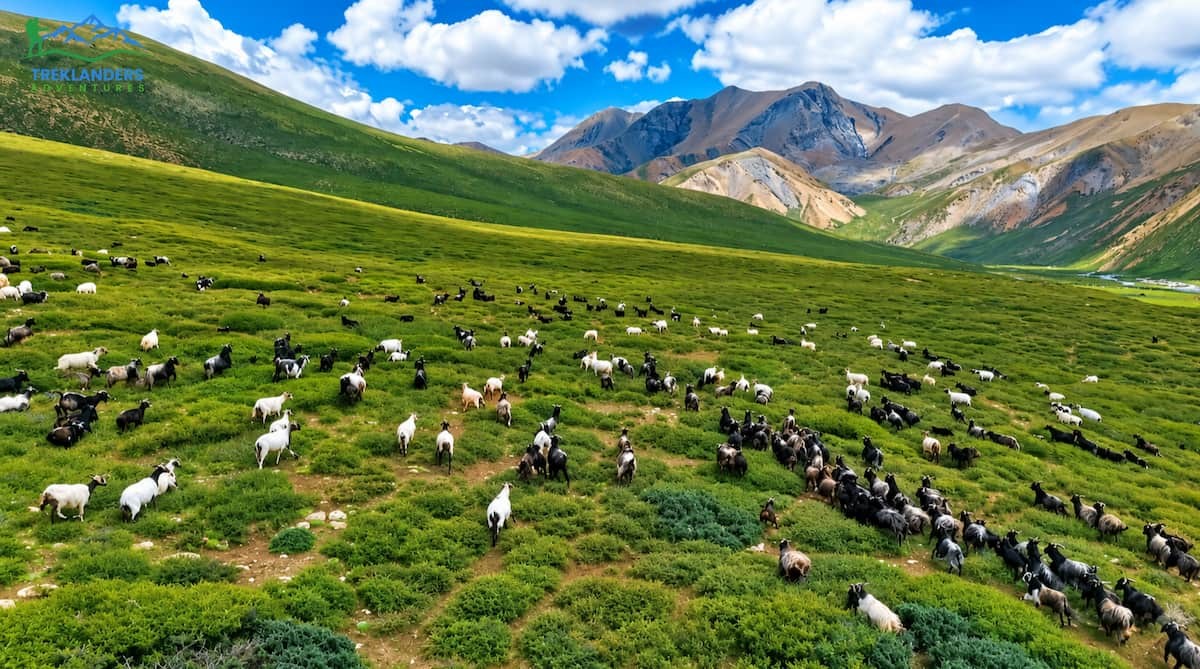
Upper Dolpo sits further from the standard trekking circuits than either Mustang or Nar Phu, tucked into the far northwest of Nepal near the Tibetan border. This is the setting that inspired Peter Matthiessen's writing on the region decades ago, and the landscape has changed remarkably little since. Vast dry plateaus, turquoise high-altitude lakes, and monasteries that have operated continuously for centuries define the terrain here.
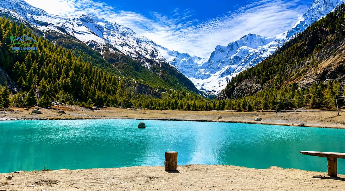
The region's remoteness works in its favor during monsoon. Upper Dolpo sits behind the Dhaulagiri range, another of the giants that blocks incoming moisture from the south, and this puts nearly the entire trekking route within the rain shadow. Phoksundo Lake, one of the deepest lakes in Nepal and a centerpiece of any Dolpo itinerary, sits at over 3,600 meters in a basin ringed by dry cliffs and sparse vegetation. The color of the water, a deep and almost unnatural turquoise, comes from mineral sediment rather than algae or plant growth, and it holds that color consistently through the summer months when other Nepal lakes might cloud with runoff.
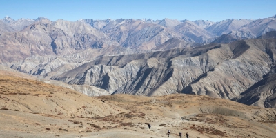
Trekking through Upper Dolpo typically takes longer than either Mustang or Nar Phu, often running two to three weeks depending on the exact route and whether it includes a crossing into Lower Dolpo. The trail passes through Shey Gompa, a monastery tied closely to Bon and Tibetan Buddhist tradition, and crosses several high passes above 5,000 meters, including Kang La and Jyanta La depending on the itinerary chosen.
Because this region sees so few visitors even during the busiest trekking months, monsoon does not create the same kind of crowd relief you get in more visited rain-shadow zones like Mustang. What it does offer is a level of trail reliability that few other multi-week treks in Nepal can match during summer. Access into the region, whether by flight to Juphal or by road and trail combinations, faces far less weather disruption than routes that pass through the wetter southern hills.
Upper Dolpo demands more logistical planning than Mustang or Nar Phu. Permits cost more, the trekking days run longer between resupply points, and the terrain requires a higher baseline of trekking experience. For travelers with the time and the interest in a genuinely remote Himalayan region, though, monsoon in Upper Dolpo delivers close to the same conditions you would find in any other season, which is rare for a trek at this level of difficulty and distance.
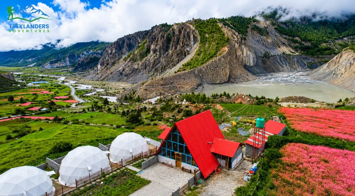
The full Annapurna Circuit crosses from lush, terraced lowlands near Besisahar up through forest, past Manang, over Thorong La pass, and down into the Mustang valley near Muktinath. During monsoon, this route splits cleanly into two very different experiences.
The lower half, from Besisahar through Chame and into the forested sections below Manang, sits on the range's wetter, southern-facing side. This stretch does get rained on regularly during summer, and trekkers doing the full circuit should expect muddy sections, leech activity in the lower forest, and the possibility of short delays from localized landslides on the access road.
Once the trail climbs past Manang, though, the terrain shifts into the rain shadow behind the Annapurna massif. Manang village itself, sitting around 3,500 meters, already sees noticeably less rain than the valleys below it. From Manang up through Yak Kharka, Thorong Phedi, and over Thorong La pass at 5,416 meters, the trail runs almost entirely within dry, protected terrain. The descent on the far side into Muktinath and the Mustang valley continues this pattern, dropping into landscape that looks and behaves like Upper Mustang itself.
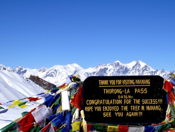
This creates a practical option for trekkers who want a taste of monsoon's dry-zone advantages without committing to a fully restricted region like Mustang or Dolpo. A shortened Annapurna Circuit, starting further along the route rather than from Besisahar, or a trek that begins in Manang and continues over Thorong La, spends most of its time in rain-shadow terrain and cuts down significantly on exposure to the wetter lower sections.
Thorong La itself carries less snow during monsoon than it does in spring, since the heaviest snowfall in this region typically comes in winter and early spring rather than summer. This can make the crossing somewhat more straightforward underfoot, though altitude and sudden weather shifts remain real considerations at 5,416 meters regardless of the calendar.
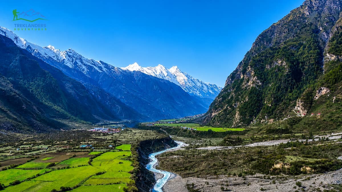
Tsum Valley sits northeast of the main Manaslu Circuit, tucked against the Tibetan border in a side valley that only opened to trekkers in the early 2000s. It does not sit as fully within the rain shadow as Mustang or Dolpo, but its position behind the Ganesh Himal and the northern flank of the Manaslu range gives it noticeably drier conditions than the lower Manaslu trail or the Annapurna foothills further west.
The approach walk from Soti Khola through Machha Khola and up toward Lokpa follows the same trail as the standard Manaslu Circuit, and this stretch does catch monsoon rain, sometimes heavily, since it runs through dense, lower-elevation forest on the range's wetter side. Once the trail branches off toward Tsum at Lokpa and begins climbing into the valley proper, conditions shift. Chhokangparo, Nile, and Mu Gompa all sit in progressively drier terrain, sheltered by the surrounding peaks.
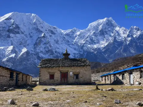
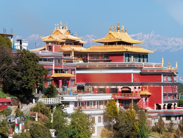
Tsum's cultural identity centers on its Buddhist heritage. The valley has functioned as a hidden sanctuary, a beyul in Tibetan Buddhist tradition, for centuries, and monasteries like Rachen Gompa and Mu Gompa anchor daily life in villages that have changed little in generations. Trekking here during monsoon means walking into some of the quietest monastery courtyards in Nepal, since visitor numbers drop even further than usual during these months.
Because Tsum requires a restricted area permit alongside the standard Manaslu permits, and because the lower approach still crosses genuinely wet terrain, this route asks for more tolerance of mud and rain during its early days than Mustang or Dolpo. What it offers in exchange is a shorter, more accessible restricted-area trek than Dolpo, with a rain-shadow payoff once you reach the upper valley, and a cultural depth that rewards the extra planning.
Not every week between June and September looks the same, even within a single region, and knowing where you sit in that window helps you plan a sharper trip.
Early monsoon, roughly mid-June through the end of June, tends to bring the gentlest transition. Rain has not yet fully set in across the wetter regions, and trails that will turn muddy by mid-July often remain reasonably firm during these first weeks. This window suits trekkers who want a slight overlap between late spring conditions and the quieter trails monsoon brings.
Peak monsoon, covering July and most of August, is when the contrast between rain-shadow and non-rain-shadow regions becomes most obvious. This is the stretch where routes like Upper Mustang and Upper Dolpo prove their value most clearly, since the wetter regions see their heaviest and most consistent rainfall during exactly these weeks. If your travel dates fall here, sticking closely to a rain-shadow itinerary matters more than at any other point in the season.
Late monsoon, running through late August and into early September, starts to show the first signs of transition toward autumn. Rainfall begins to taper in the wetter regions, though it has not fully cleared, and this is also when Upper Mustang's Yartung festival typically falls, tying the practical case for rain-shadow trekking to a cultural highlight that only happens once a year.
Packing for these routes means preparing for two different climates within a single trip: the wetter, forested approach sections and the dry, high-altitude terrain beyond them.
A reliable rain shell earns its place even on a Mustang or Dolpo itinerary, since the first one or two days of most of these treks pass through terrain that can still catch a shower before the trail climbs into fully dry ground. Beyond that point, the priority shifts toward sun protection and layering for cold nights. Days in Upper Mustang and Upper Dolpo often run warm and intensely bright, with strong UV exposure at altitude, while nights drop sharply once the sun sets over these exposed, treeless valleys.
Dust becomes a bigger practical concern in these dry zones than rain does. Wind funnels through valleys like the Kali Gandaki gorge with real force in the afternoons, kicking up dust that makes a buff or scarf a genuinely useful piece of gear, not just a stylistic one. Sunglasses with good coverage help for the same reason, particularly on stretches of trail that run across open, reflective terrain.
Footwear should still account for the wetter approach sections, since a day or two of mud before reaching drier ground is common on most of these routes. Trekkers heading toward Nar Phu, Tsum, or the lower Manaslu and Annapurna approaches should still pack for leech activity on these early stages, even though the leeches disappear entirely once the trail crosses into rain-shadow terrain.
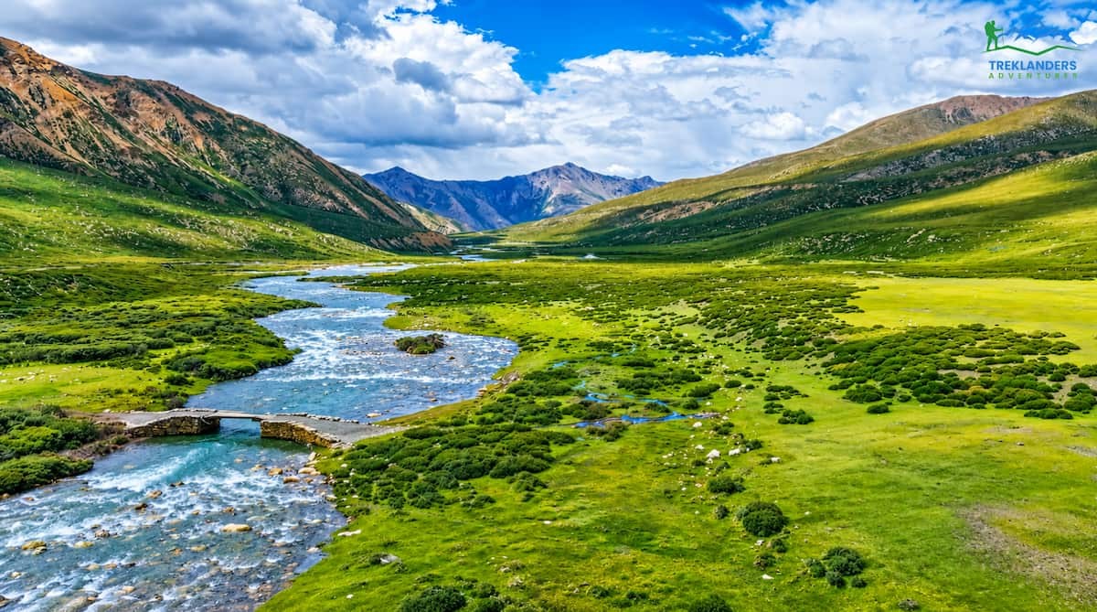
It helps to understand what you are avoiding by choosing a rain-shadow route, because the contrast is part of what makes these dry zones worth the extra planning.
Regions like the standard Everest Base Camp trek's lower stages, the full Annapurna Base Camp route, Langtang Valley, and most of the mid-hill trekking areas in eastern and central Nepal sit directly in the monsoon's path. These trails run through dense forest at lower elevations, and that forest turns humid and green fast once the rains set in. Leeches become active in these wet forest zones, particularly between 1,000 and 2,500 meters, and trekkers on these routes typically carry salt or specialized leech socks as standard gear during summer months.
Trail surfaces in these regions turn to mud after even a single day of rain, and the risk of localized landslides rises on steep sections, particularly where roads or trails cut across unstable slopes. Flight delays into airstrips like Lukla become more common, since low cloud frequently sits over the Khumbu valley through the morning hours when these small planes need to fly.
None of this makes these regions impossible to trek during monsoon. Plenty of trekkers still walk the lower Everest trail or Langtang Valley in July and August, and the tradeoff, thick green forest, fewer crowds, and swollen waterfalls, appeals to a certain kind of traveler. But these routes ask for more tolerance of mud, more flexibility around flight schedules, and more comfort with leeches than most first-time monsoon trekkers expect. If your priority is dry trails and predictable conditions, the rain-shadow regions covered above deliver a fundamentally different experience.
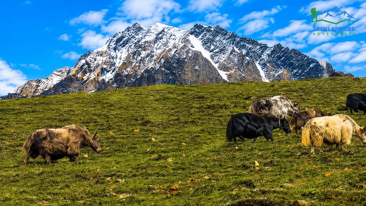
Dry trails and fewer crowds explain why rain-shadow trekking works logistically, but monsoon also changes how these landscapes look, and the change tends to work in a trekker's favor.
Rivers running through valleys like the Kali Gandaki and the Nar Phu gorge carry noticeably more water during these months, fed by snowmelt and the rain falling on the peaks above, even where the valley floor itself stays dry. The sound and movement of that water adds a different texture to trekking days that would otherwise pass through fairly still, quiet terrain. Waterfalls along the approach sections, particularly on the wetter lower stretches before the trail reaches the rain shadow, run fuller and more dramatic than they do in the dry autumn and spring months.
Within the rain-shadow zones themselves, the high-altitude flora responds to whatever moisture does reach these regions. Villages in upper Manang, around Lo Manthang, and through the Tsum valley often show a burst of green in irrigated fields and terraced barley during these months, a sharp contrast against the surrounding dry, rust-colored hillsides. This combination, arid cliffs framing small pockets of cultivated green, is specific to this season and does not appear in quite the same way once autumn arrives and the harvest changes the color of the fields.
Cloud behavior also creates a distinct visual quality during monsoon, even in regions that stay technically dry. Mist and low cloud sometimes drift up from the wetter valleys below and catch against the peaks in the early morning or late afternoon, framing mountains like Annapurna, Dhaulagiri, and the peaks around Dolpo in a way that autumn's consistently clear skies do not produce. Trekkers with a strong interest in photography often find these transitional light conditions, cloud breaking around a summit rather than a uniformly blue sky, more compelling than the flatter clarity of peak season.
None of this changes the practical case for choosing a rain-shadow route during monsoon. It does mean that trekkers who go into these months expecting a lesser version of Nepal's classic scenery are often surprised by how distinct, and in some ways how striking, the landscape looks compared to the same route walked in October or April.
Weighing the Real Tradeoffs
Monsoon trekking in a rain-shadow region is not a compromise choice. It is a legitimate way to experience some of Nepal's most striking landscapes, and in several respects it beats the peak autumn and spring seasons outright. But it comes with its own set of considerations worth knowing before you commit.
**Mountain views can be less consistent than in autumn or spring.** Even within the rain shadow, cloud cover sometimes builds up in the afternoon, particularly closer to the edges of these regions where they border the wetter southern zones. Mornings tend to offer the clearest conditions, and trekkers who prioritize photography or big mountain panoramas should plan their walking schedule around early starts.
**Access routes into these regions can still face weather delays.** Getting to Jomsom, the gateway for both Mustang and the northern Annapurna Circuit, usually involves a short flight or a longer overland drive, and either can face disruption from weather systems on the approach, even if the trekking region itself stays dry. Building a buffer day or two into your itinerary for this stage of the trip is a reasonable precaution.
**Restricted area permits and guide requirements add planning time.** Both Upper Mustang and Nar Phu require special permits that need to be arranged in advance through a registered trekking agency, and travel in these regions requires a licensed guide. This is standard practice regardless of season, but it means these trips need more lead time to organize than a straightforward, unrestricted trek elsewhere in Nepal.
**Altitude remains a factor no matter the season.** Thorong La, Kang La, and the high passes throughout Upper Dolpo all sit above 5,000 meters, and altitude sickness does not care whether it is June or November. Proper acclimatization schedules matter just as much during monsoon trekking as they do at any other time of year.
Set against these considerations, the advantages hold up well. You get dry, walkable trails in a season when most of Nepal turns to mud. You get some of the quietest conditions on trails that even in peak season see relatively few visitors. And in places like Upper Mustang, you get a chance to time your trip around cultural events that only happen during these exact months.
If you are set on trekking during June, July, or August, a few planning principles make the difference between a trip that goes smoothly and one that runs into avoidable problems.
Choose a region that sits entirely, or almost entirely, within the rain shadow. Upper Mustang and Upper Dolpo both qualify strongly here, since nearly the full trekking route stays in dry terrain once you clear the initial approach. Nar Phu and the northern half of the Annapurna Circuit work well too, though both involve a shorter stretch of wetter terrain before the trail climbs into the rain shadow proper.
Book your flights or ground transport with flexibility in mind. Even in dry zones, the access points, particularly airstrips like Jomsom, can face weather-related delays tied to conditions elsewhere in the region. A day or two of schedule buffer on either end of your trek absorbs this risk without derailing your trip.
Pack for both dry, high-altitude conditions and the possibility of rain on lower sections. This means layers that handle strong daytime sun and cold nights at altitude, along with a reliable rain shell for the approach walks that pass through wetter terrain before reaching the rain shadow.
Work with a trekking agency experienced in these specific regions. Restricted area permits, guide arrangements, and route planning for places like Mustang, Dolpo, and Nar Phu all require local knowledge that goes beyond what a standard Everest or Annapurna Base Camp itinerary needs. An agency that regularly runs trips into these trans-Himalayan zones will know current trail conditions, festival timing, and the small logistical details that make or break a monsoon itinerary.
Build in time for acclimatization on any route crossing a high pass. This holds regardless of season, but it matters just as much on a July crossing of Thorong La or Kang La as it would in October.
Check trail and permit updates close to your departure date rather than relying on older trip reports. Restricted areas occasionally adjust entry requirements, and a quick confirmation with your trekking agency in the weeks before departure saves you from surprises once you land in Kathmandu.
The honest answer depends entirely on where you go. If you plan to trek the standard, southern-facing routes during June, July, or August, you will deal with mud, leeches, and a real chance of flight delays and limited mountain views. That version of monsoon trekking is a compromise, and it only suits trekkers who specifically want the lush, green, quieter version of Nepal's more popular trails.
But if you choose a rain-shadow route, the calculation changes completely. Upper Mustang, Nar Phu Valley, Upper Dolpo, and the northern half of the Annapurna Circuit all sit largely or entirely behind the highest peaks in the world, and that position keeps them dry, walkable, and scenically sharp through the exact months when the rest of Nepal gets rained out. You trade nothing meaningful for this. The trails hold up, the villages stay just as vivid and welcoming, and in places like Mustang you might land your trip right on top of a festival that only happens once a year.
Monsoon does not need to be a season you avoid in Nepal. It needs to be a season you plan around, and the rain-shadow regions covered here are exactly how experienced trekkers make that work.
The trekkers who get the most out of this season are the ones who stop asking whether monsoon works in Nepal and start asking where it works. That shift in the question changes everything about how the trip goes. Pick Upper Mustang, Nar Phu, Upper Dolpo, Tsum Valley, or the northern half of the Annapurna Circuit, and you spend your days on firm trails, under skies that clear more often than not, in villages that feel far less crowded than they do the rest of the year. Pick a route on the wrong side of the range, and you spend those same days managing mud and delay. The mountains decide which version of monsoon you get. Your job is simply to read the map correctly before you book the trek.
Discover Shree Kharka, the scenic gateway to Tilicho Lake and one of the Annapurna Circuit's most rewarding high-altitude stops.
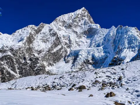
Discover the best treks in Nepal for September, with expert tips on weather, trail conditions, and the perfect Himalayan adventure.
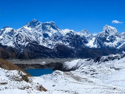
Find the perfect Nepal trek with this difficulty guide, from easy hikes to extreme Himalayan expeditions.



