
Langtang Valley Trek for Families: Is It Safe for Kids and What Age Is Too Young?
3 May 2026
Is the Langtang Valley Trek safe for kids? Learn the minimum age, key safety tips, and how to plan a family-friendly Himalayan trek with confidence.
You've probably arrived at the first few days of the Everest Base Camp trek. Your legs are strong, and you have a fresh spirit. Then the guide drops the sentence that shuts down a few trekkers: "Tomorrow you have a rest day in Dingboche."
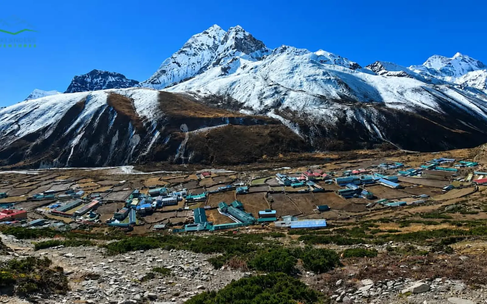
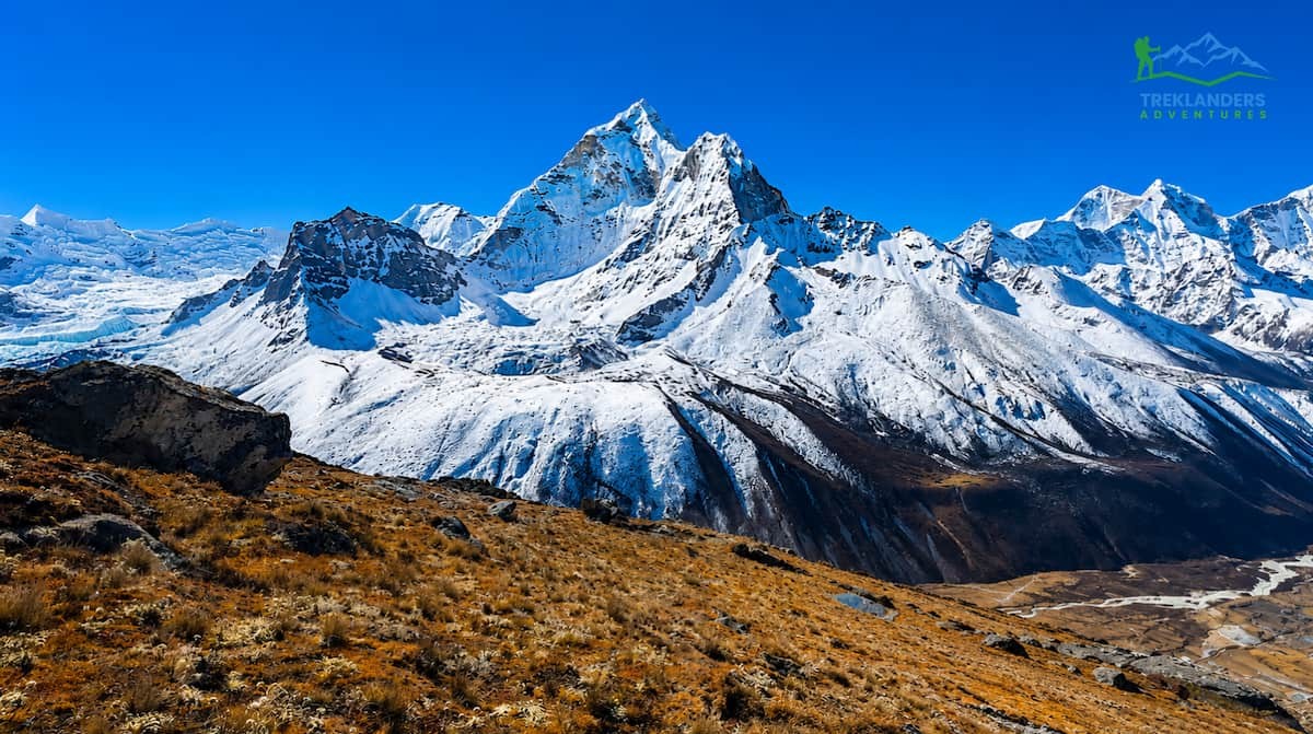
Dingboche is not just another dot in the itinerary. At 4,410 meters above sea level, it is the single most important stop between Lukla and Everest Base Camp. The village lies in the spacious Imja Valley in Nepal's Khumbu region, surrounded by Mount Ama Dablam, Lhotse, and Island Peak. Dingboche is the rest stop that offers the best combination of altitude, location, acclimatization possibilities, amenities, and mountain views.
This guide explains why and what to do there.
Dingboche is a Sherpa village found in Nepal’s Solukhumbu District, nestled inside Sagarmatha National Park (a UNESCO World Heritage Site). Dingboche is situated at an altitude of 4,410 meters (14,470 ft) in the Imja Valley, along the east bank of the Imja Khola River.
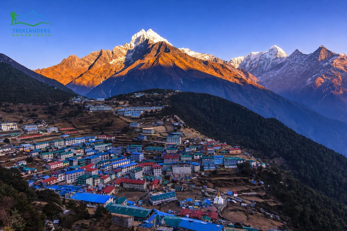
On most standard EBC trekking itineraries, Dingboche is where you will arrive on Day 5 or Day 6 of your trek, following overnight stops in Phakding, Namche Bazaar, Tengboche and Pangboche. Trekking from Tengboche, the trail drops down through the forest before crossing the Imja Khola river and gradually ascending to Dingboche. It’s about a five-hour walk.
North of Dingboche, the trail begins its push towards Lobuche (4,940 m), Gorak Shep (5,164 m), and ultimately Everest Base Camp (5,364 m). Dingboche is the last populated village where you will find trees, farms, and flat places to sit down. North of Dingboche, it’s a full-on alpine environment: rocks, ice and snow as far as the eye can see.
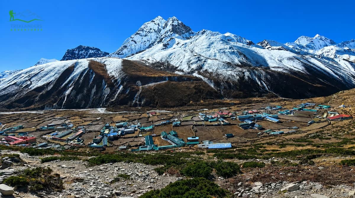
Today, Dingboche has approximately 200 residents. Most of the residents are Sherpa families who work the stone-walled fields surrounding the village, growing mainly barley and potatoes. Speaking of those fields…when you first arrive in Dingboche, those stone walls are hard to miss. They act as walls to protect the crops against the harsh cold temperatures and the notoriously strong Khumbu winds. The farms give Dingboche a sense of being alive that higher stops like Lobuche and Gorak Shep simply do not possess.
Standard EBC trekking itineraries will have you spent two nights in Dingboche. This allows you one full acclimatization day after you arrive, before you head up towards Lobuche. Some travellers spend three nights in Dingboche. This is particularly common for longer itineraries or for trekkers who are more sensitive to altitude.
To understand why Dingboche exists, we must first briefly discuss how altitude affects your body.
As the altitude increases beyond 3,000 meters, there is less and less oxygen in the air. By Everest Base Camp (5,364 m), there is approximately half as much oxygen in the air as there is at sea level. Your body naturally produces more red blood cells to compensate and adjusts your breathing rhythm, but this doesn’t happen overnight.
If you climb too quickly without allowing your body to adjust, you can experience Altitude Mountain Sickness (AMS). Symptoms include a constant headache, nausea, dizziness, and tiredness. AMS can be deadly if it escalates into High Altitude Pulmonary Edema (HAPE) or High-Altitude Cerebral Edema (HACE).
The general guideline says not to increase sleeping elevation more than 300 to 500 meters each day once you’re above 3,000 meters. “Climb high, sleep low” is another mantra you follow: trek higher during the day, but return to a lower elevation to sleep. This practice tells your body a stronger signal to acclimatize, minus the stress of sleeping at the highest elevation.
Altitude-wise, Dingboche could not have come at a more perfect time. By the time you reach Dingboche, there’s around 60 per cent of the oxygen you’d find at sea level in the air. You’ll notice it as soon as you get off the bus: you move more slowly than normal, your appetite dwindles, and you sleep horribly. Your body really starts struggling at this elevation.
Don’t worry. This is why acclimatization day in Dingboche exists: you hike all the way above 5,000 meters for the day and return to Dingboche to sleep at 4,410 meters. It’s just about the optimal elevation gain/recovery ratio supported by science. Trekking agencies have collected data over the years and found that trek itineraries with two real acclimatization days built in (one at Namche – 3,440 m – and Dingboche) enjoy EBC success rates of 90 – 95%. Trekking clients who skip/acronym these days have alarmingly higher failure rates.
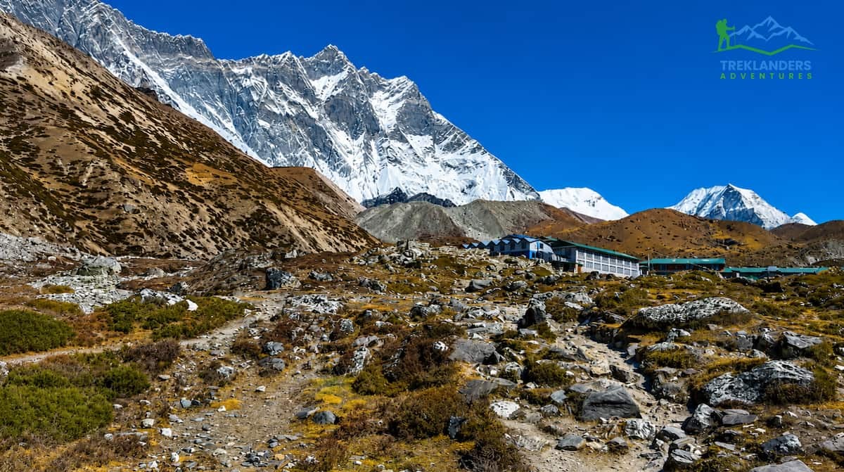
Dingboche happens to be the highest place before Lobuche, where the conditions are conducive enough to truly relax. Lobuche resides inside a windy/glacial valley at 4,940 meters. It’s windy, colder, nights are miserable, and the guesthouses are sketchier than Dingboche. At Gorak Shep (5,164 m), even less. You’re basically limited to whatever tent you booked if you get to those camps without properly acclimatizing.
That’s my primary argument for Dingboche being the best place to take a rest day: Dingboche sits at precisely the right altitude with just enough services for you to condition your body for what lies ahead.
Your rest day at Dingboche isn't simply a day to lie down. In fact, it is a day when you are expected to be physically active because that is the means to a physiological end. Here are your main options:

This is the number one acclimatization hike out of Dingboche, and it is a very good reason. Nagarjun Hill lies on the eastern side of the Chhukung Valley, and it is about 690 meters above the village. The uphill journey is quite challenging physically, steep, and rocky. Keep in mind that you need three to four hours for the whole round trip.
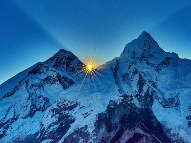
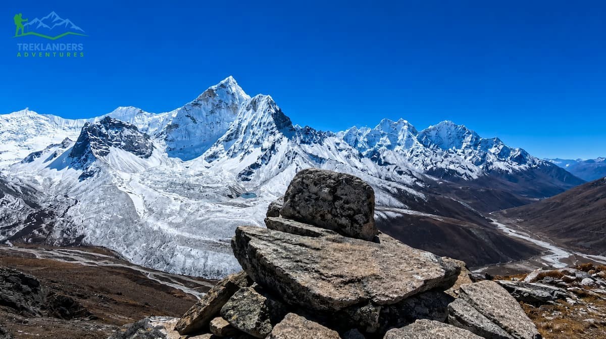
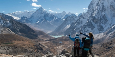
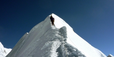
The panorama from the top is probably one of the best you can get on the whole EBC trek. To the east, you can see Makalu (8,485 m), the fifth-highest mountain on the planet. Lhotse (8,516 m), the fourth highest, dominates the north. Ama Dablam is just to the west, whose silhouette is, without a doubt, a steep shark's fin. On very clear days, you can also see the plume at the summit of Everest above the wall of Nuptse. The physiological advantage is considerable. By spending 6 to 8 hours at a height of 300 to 500 meters above where you are sleeping, you get a substantial increase in red blood cell production. Nagarjun Hill at 5,083 meters corresponds very well to this altitude.
You first take your body to a higher level and then come back down to 4,410 meters, where you will be sleeping. Your body is indeed making the necessary adjustments during the night.
If you see Nagarjun Hill as too difficult, the walk to Chhukung Village is a nice compromise. In fact, Chhukung lies about one hour and 30 minutes east of Dingboche, following the Imja Khola river. Moreover, the path is quite level and provides close-up views of Island Peak (6,189 m) and the glaciers around.
Besides, Chhukung is considered the base camp of Island Peak, one of the most favorite trekking peaks in Nepal. Practically, you will spot some climbing expeditions at this place. The environment is less bustling than Dingboche, and the walk can be a smart moderate-intensity option if you are experiencing symptoms that call for a conservative day.
In case you experience the symptoms of acute mountain sickness that are quite strong, do not attempt to get to a higher altitude. A light walkthrough in the Dingboche village may still be helpful. While strolling around the blocks of stone-walled fields, you can have a look at the Dingboche Monastery. Also, you will see the prayer flags that are fluttering above the village. Besides the complete inactivity, light physical activity at your sleeping altitude is preferable. The afternoon is the time to take a nap. Keep drinking water without any breaks.
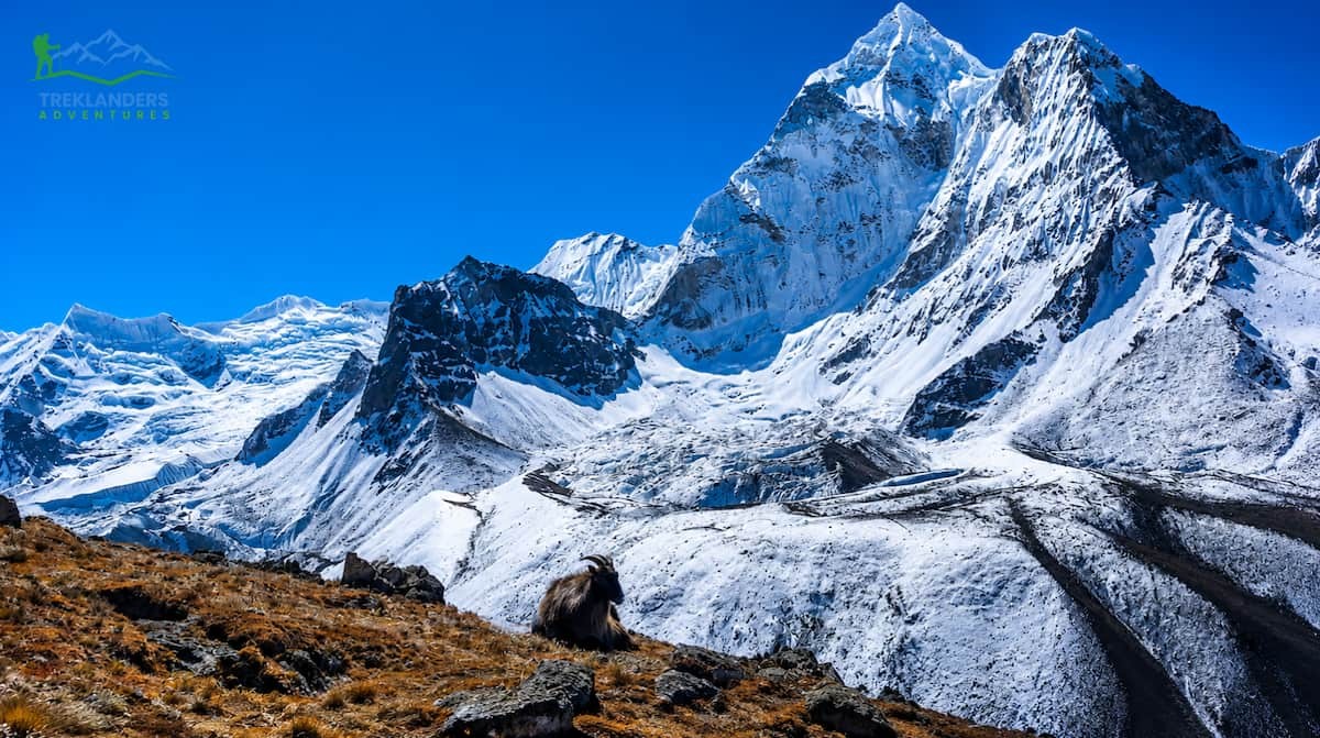
Dingboche is not only strategically located, but it is also visually positioned to reveal to you the Khumbu in its full grandeur.
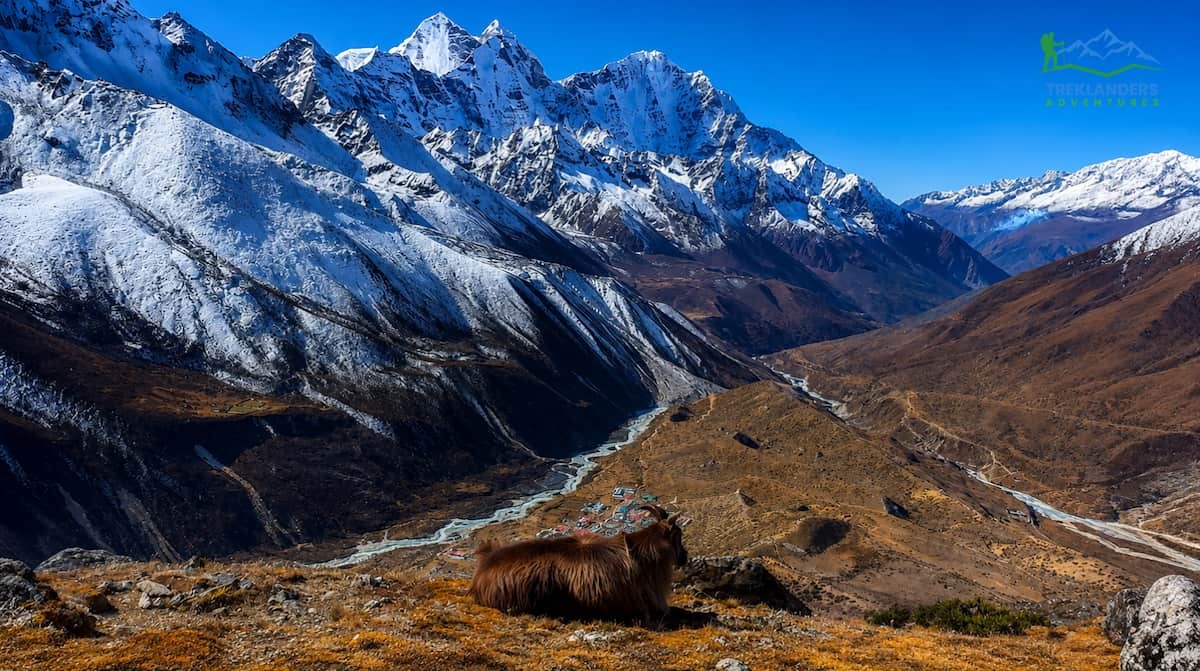
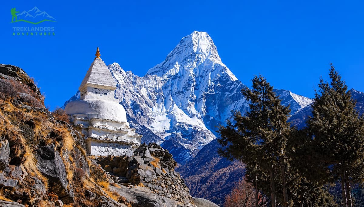
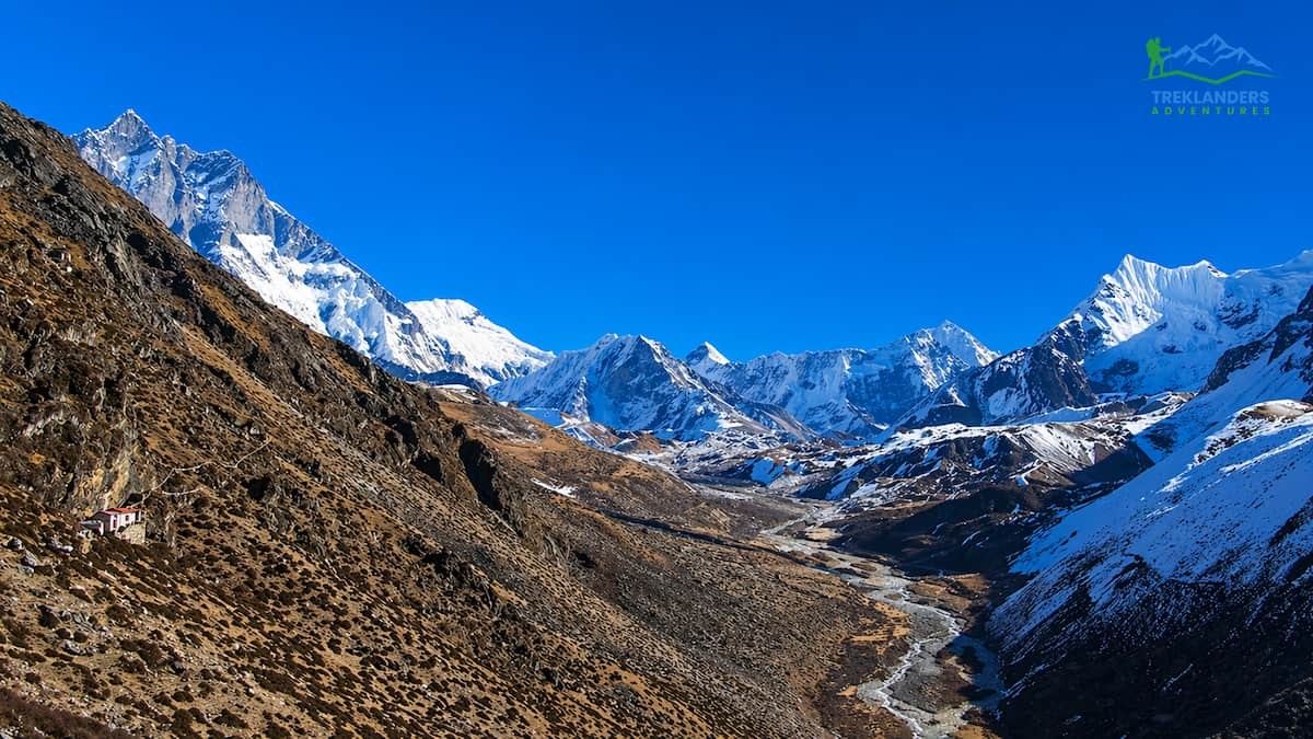
This village is located in the wide Imja Valley, which extends eastward. Because of this, you enjoy a clear 180-degree panorama that even higher, but narrower camps are unable to match. To the north, Lhotse's huge south face overshadows the scene. Ama Dablam, one of the very few mountains on earth which is almost always photographed, stands to the southwest. Island Peak is located to the east, quite like a rocky island in a sea of ice, which is exactly what its name implies.
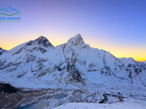
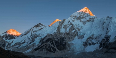
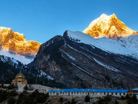
In the early hours, when the sun is just rising and the sky is clear, these mountains reflect gold and pink in such a way that even the most experienced trekkers are left speechless. The atmosphere at 4,410 meters is dry and thin, which means the light has a special clearness which you don't experience at lower altitudes.
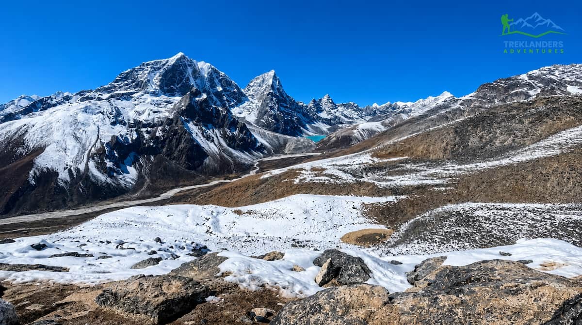
The Imja Valley retains quite a feeling of openness, which is missing from the route's higher levels. Once you are up from Dingboche, the footpath turns into a glacial moraine. Though the scale is still immense, the open, cultivated inhabited character of Dingboche ceases. It is your last sight of a working Himalayan valley before nature takes over completely.
Should you be interested in photography, Dingboche provides a greater variety of compositions than any other place on the trail. The stone-walled fields in the foreground, the multi-colored prayer flags, the chortens on the ridgelines, and the 8,000-meter peaks in the background: this is the Khumbu at its most layered and complete.
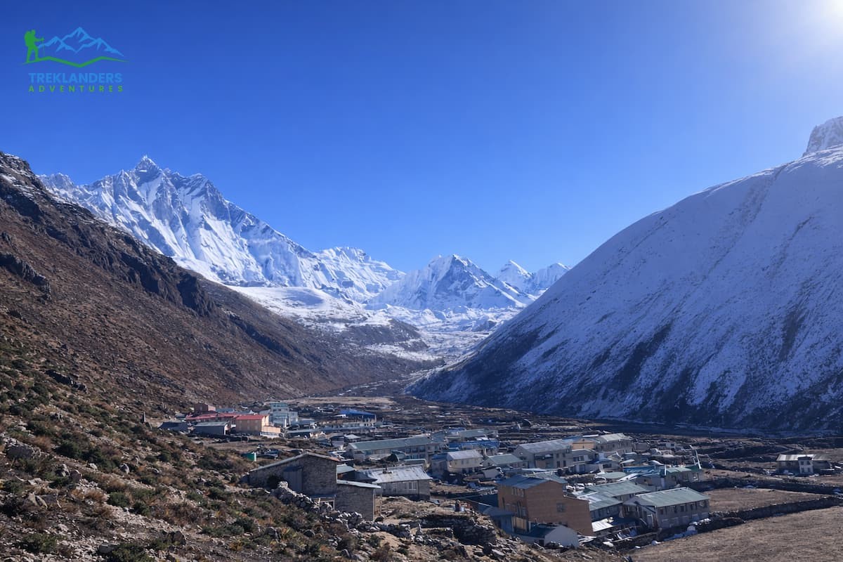
Dingboche has been expanding steadily to accommodate the thousands of trekkers who pass through every season. The amenities are quite primitive if compared to the lowlands, but they are still very sufficient considering the high altitude and the setting of Dingboche.
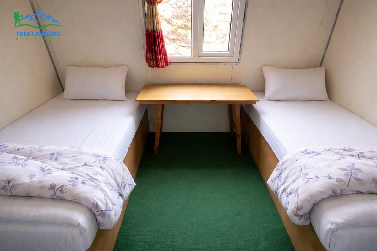
There are a sufficient number of teahouses and mountain lodges in Dingboche where you can find anything from the simplest rooms to the ones with private bathrooms. Depending on the lodge, the season and how much you can bargain, the range of prices for rooms is from about $5 to $30 USD per night. At the times of high tourist flow (March - May and September - November), it may be necessary to get to the village early in order to find a room. In a matter of time, the village is filled.
Summit 4410m is well-liked due to its solar-powered charging stations and welcoming rooms. Peaceful Lodge gives the opportunity of a more serene environment away from the main trail. All lodges feature communal dining rooms, usually heated by yak dung stoves. These dining rooms are the places where the trekkers gather in the evenings to share meals, exchange information about the route, and recover from the day's acclimatization hiking. The warmth and sociability of these places are indeed a solace after spending a hard day at the altitude.
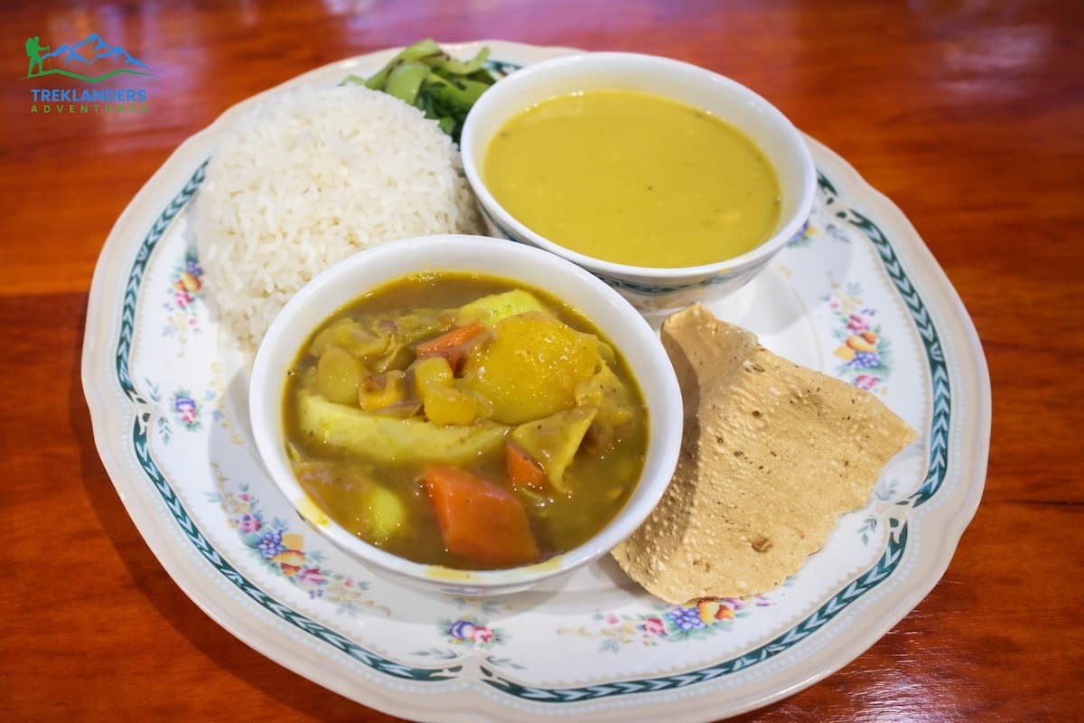
Each teahouse offers a food menu with traditional Nepali dishes and a few international options. Dal bhat, which consists of a lentil and rice combo, is the highest-calorie and most dependable meal. It is by far the best priced, and most hotels even provide unlimited refills. Fried rice, pasta noodles, soups, pancakes, and eggs are all available.
Hot garlic soup is kept on top of the list just because garlic is thought to help with acclimatization. If anything, the science may not fully back that, but this soup is hot, filling, and comforting at altitude anyway.
Generally, a main course will cost you around 900-1,200 Nepali Rupees (NPR). Breakfast is a little cheaper, from 500 to 800 NPR. Hot beverages such as tea, coffee, and must-have hot lemon cost 200-400 NPR per cup. On the EBC trekking route, prices go up with altitude. Dingboche is already a relatively pricey stop, so plan your budget accordingly.
You need to drink at least 4-5 liters of water a day at this altitude. Lack of water intensifies all the signs of altitude sickness and makes it difficult for your body to supply oxygen to your tissues. Besides a water purifier, you can use water purification tablets or a filter. Buying bottled water at every stop: the cost adds, and the plastic waste is significant.
Most lodges in Dingboche provide Wi-Fi for a small charge. Because the connection is solar-powered, it may be slow and unreliable, especially during the village's peak times. Charging your device is possible in dining rooms for a fee, usually 200 to 400 NPR per device. It would be wise to carry a power bank for emergencies.
Both Ncell and NTC mobile networks have coverage in Dingboche, but the signal can be quite weak at times. If you need to call or communicate with your people back home, it's better to use the teahouse Wi-Fi as opposed to relying on mobile data.
The Himalayan Rescue Association runs a health post in Pheriche, a village only one hour walking distance from Dingboche. This health post is open and staffed by trained medical professionals during the trekking season. It is particularly well-equipped for altitude sickness. The health post in Pheriche should be your first choice if you or anyone in your group experiences alarming symptoms.
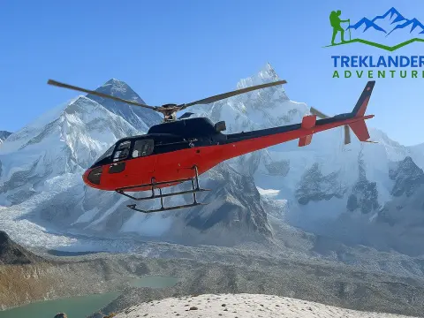
Although Dingboche has some lodges with basic first aid facilities, these are limited. In case of major emergencies, picking up a helicopter from the Dingboche area can be arranged, but it totally depends on the weather and helicopter availability. Besides, travel insurance that includes high-altitude rescue is not just a nice-to-have on this trek; it's a must-have.
Some hikers still wonder if the two acclimatization stops are really necessary. Physiology, as well as failure statistics, supports the idea that they are.
Namche Bazaar at 3,440 meters is the first major altitude checkpoint. After two days of climbing from Lukla (2,860 m), your body has started adjusting to the lower oxygen level. The rest day at Namche, including a hike to the Everest View Hotel at 3,880 meters, is the beginning of the acclimatization process. However, the altitude of Namche is not sufficient to prepare you for Dingboche, let alone for Lobuche or EBC.
When you get to Dingboche, you will climb almost 1,000 meters above Namche. The air is noticeably thinner. The stimulus your body requires for acclimatization is much higher. Resting at Dingboche with a hike over 5,000 meters places your body under the same stress it would experience in the subsequent stages.
You could even say it's a preparation in two steps. Namche prepares you for medium altitude, while Dingboche prepares you for the high-altitude ascent. Omitting one of the stages will jeopardize your risks at each of the further stops.
Many trekkers who decide not to take a rest day at Dingboche to save time or money often experience major difficulties at Lobuche and Gorak Shep. Some of them even turn back before reaching EBC. The rest day isn't delayed at all. It is the very reason that you will be able to get there.
Dingboche is not only an excellent place for altitude science and logistics but also a living village that has a rich culture in a way that hardly any other places higher up the route can offer.
Around Dingboche, barley and potatoes are produced by farming the stone-walled fields, which are the highest-level crops in the area. The walls are a practical-engineering marvel that not only traps the heat but also breaks the wind, permitting the growth of crops at an altitude where hardly any plants can survive. A stroll through the fields really makes you understand how the Sherpa people have lived and worked here for many generations.
The monastery around which the village is built is called Dingboche Monastery. If you are willing to be respectful, you can join the monks for their morning prayers. The monastery is decorated with rich thangka paintings, and the voices of chanting monks fill the air. When you are very tired after several days of hard hiking, the peace of the monastery can be just what you need to get back your strength.

Prayer flags fly from the ridgelines above the village. Moreover, mani walls (which are stone walls having Buddhist mantras engraved) are set along the path. Chortens show the boundary of the farmland. These are not merely tourist premises; rather, they are the expressions of a religion that has been guiding and shaping the lives of people in Khumbu.
One of the Dingboche local traditions is rather unusual. It is believed among the locals that people are not supposed to prepare food in the village for a certain month every year. The custom was very strictly followed in the past, and the villagers would go to the neighboring villages for their meals. Although the practice has become quite relaxed nowadays, especially among those who keep teahouses for trekkers, some families still observe it.
These insights into local culture are the sort of things that start disappearing once you go above Dingboche. For instance, Lobuche is not a real village. On the other hand, Gorak Shep is just a set of homes for trekkers. So, if you want a glimpse of Sherpa life in the high Khumbu area, Dingboche is your final chance.
One logistical advantage which is often missed is that Dingboche is the junction for three distinct high-altitude routes.
The Everest Base Camp Route goes north through Lobuche to Gorak Shep, EBC, and Kala Patthar (5,545 m). This is the standard path that most trekkers take.
The Island Peak Climbing Route heads east toward Chhukung and then up to the base camp of Island Peak (6,189 m). Island Peak is one of the easiest trekking peaks in Nepal and a very popular objective for trekkers who want to try a technical summit.
The Kongma La Pass Route leads southeast over the Kongma La (5,535 m), a very high mountain pass that connects the Imja Valley with the Khumbu Glacier area and which can be used as an alternative approach to Lobuche. This route necessitates proper acclimatization and is generally done by experienced trekkers on the Three Passes route.
Because of its location, Dingboche is a natural junction. You will be dining in teahouses with EBC trekkers, Island Peak climbers, and Three Passes trekkers. The conversations make for a great time: different goals, different itineraries, different levels of experience, all meeting at 4,410 meters.

Here are some tips that work, drawn from advice that every guidebook and experienced trekker will tell you:
Start your hike early: Morning light is better for your physiology as well as your photography. Additionally, afternoon clouds roll in quickly in the Khumbu, so if you want clear skies from the top of Nagarjun Hill, plan to leave by 7:30 or 8:00 AM at the latest.
Take it easy on the way up: The hike up to Nagarjun Hill is quite steep. More climbers feel ill at the top of the climb if they rushed the ascent compared to those who went slower. Consider using the rest step technique (pausing briefly on each step to allow your breathing to catch up) above 4,800 meters.
Don’t ignore a pounding headache or feeling tired. Above 4,000 meters, your brain is getting less oxygen than it’s used to. If you ignore headaches, feel mildly nauseous or unusually tired, do NOT continue to the summit. Turn around, hike back down to the village, and sleep it off. Remember that today’s goal is to help your body acclimatize, not complete a particular hike. A partially summitted hike with zero AMS symptoms beats a fully summitted hike with severe symptoms.
Drink water on the trail. Bring at least two liters with you on your acclimatization hike and drink at regular intervals. It’s easy to get dehydrated at altitude because your thirst sensation is suppressed. Set an alarm on your watch or phone if you have trouble remembering.
Take an afternoon nap: After you get back from your acclimatization, hike, eat lunch, drink some more water, and take it easy. Either stay in your room or hang out in the dining hall until early evening. Avoid any vigorous activity in the afternoon. This is when your body reaps the benefits of your morning hike.
Skip the booze: Alcohol will hinder, not help, your acclimatization. Alcohol will suppress your breathing while you sleep, making it more difficult for your body to maintain adequate oxygen levels overnight. Sure, you’ll wake up fine after one beer, but your body is actively fighting against your acclimatization overnight. Save the reason for trekking-to-EBC beer for Namche on your way back down.
Monitor your SpO2. A pulse oximeter can be a helpful tool to have during any EBC trek. A normal resting SpO2 at Dingboche should be between 80 and 88 percent. Readings below 75 percent while at rest warrant discussion with your guide and/or medical staff at the Pheriche health post.
Force yourself to eat: Lack of appetite is common at altitude. Your body is burning significantly more calories at 14,000 feet than it does at sea level. Force yourself to eat, even if you don’t feel hungry. Dal bhat (rice and lentils) is your friend. Your energy level tomorrow depends on how well you eat today.
There are two main trekking seasons for Everest Base Camp. Each is relevant for your Dingboche rest day.
Spring Trekking Season (March-May) offers warmer temperatures, clear skies, and rhododendron flowers in the lower elevation areas. Spring is a busy season. Dingboche sleeps fewer than 200 trekkers a night, but those teahouses fill up quickly. Expect Dingboche to feel crowded. You’ll want lodging booked in advance if your schedule is set in stone.
Fall Trekking Season (Sept-Nov) tends to have stable weather conditions after the monsoon rains have cleared out, nice crisp air, and very good visibility. October sees some of the most reliable weather of the entire year. Cooler daytime and nighttime temperatures compared to spring, but skies tend to be clear for longer stretches.
For acclimatization purposes, Dingboche will serve you well during either season. The crowds are the main difference between spring/fall and the “shoulder” months (late September & early November). If you don’t mind colder nighttime temperatures but want to dodge some of the crowds, late September and early November are your best bets for mild weather and fewer trekkers.
Winter (December-February) trekking is physically very challenging due to freezing temperatures at night in Dingboche, frozen water sources, and some guesthouses closing up for the season. June-August is the monsoon season, which means heavy rain in the lower elevation areas and heavy snow above the trek base camp. Most EBC travellers travel outside of these months.
Let’s be blunt about this because it’s the choice that cuts EBC aspirations short more than anything else:
Missing your rest day in Dingboche saves you one day on your schedule. You lose acclimatization at the altitude where it’s most important to have it. Lobuche is at 4940m. Gorak Shep is at 5164m. Kala Patthar tops out at 5545m. None of those areas is a place you want to realize your body hasn’t adjusted to the altitude yet.
Statistics are harsh: People who skip Dingboche are statistically more likely to encounter difficulties above Lobuche. Some of them will push on to EBC but will feel miserable and won’t enjoy reaching the top. Some will descend between Lobuche and Gorak Shep. Far fewer will experience severe AMS and get helicopter evacuated.
None of these things happen because those trekkers are less fit. Altitude sickness doesn't care about fitness levels; it is a true equalizer. Physically fit young trekkers develop it just as often as older ones when they ascend too quickly. That rest day at Dingboche is there because the body needs it, not because the itinerary planners are keen on prolonging your trip.
If your time is really limited and you feel as if you have to compress the itinerary, first talk to your guide and the staff at the HRA health post in Pheriche. Keep a daily track of your SpO2 levels. Always have Diamox (acetazolamide) with you as a backup, but don't forget to see a doctor before your trip. But be aware that fitting a compressed schedule will only increase your risk, and that risk is serious.
All the stops along the Everest Base Camp route have their uses. However, Dingboche does one thing that no other stop can do with the same level of accuracy. It is exactly at the altitude where your body is in the greatest need of help, and it offers you the exact conditions for getting that help. The altitude is perfect. The acclimatization walks are just about right. The scenery is top notch. The amenities are neither too simple nor too extravagant. The cultural aspect is still very authentic and alive. The location at the intersection of three main routes brings a unique vibe to the village.
When your guide informs you that the next day is your resting day at Dingboche, your reaction should not be an irritation. Rather, you should understand that you are going to accomplish the most significant function of your whole trekking without even taking a step towards EBC. Your body is capable of doing the task.
Just make sure that you are in the right place. Dingboche happens to be in that place.
Is the Langtang Valley Trek safe for kids? Learn the minimum age, key safety tips, and how to plan a family-friendly Himalayan trek with confidence.
Discover the top 10 family-friendly treks in Nepal, featuring easy and safe routes perfect for kids and beginners.
Manaslu Circuit Trek guide covering route, cost, permits, and difficulty—Nepal’s remote Himalayan adventure.