
Mundu Village to Kyanjin Gompa: Complete Guide to the Final Stretch of the Langtang Valley Trek
26 May 2026
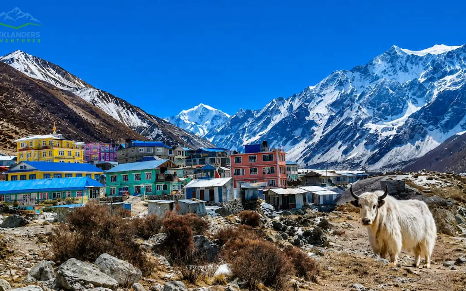
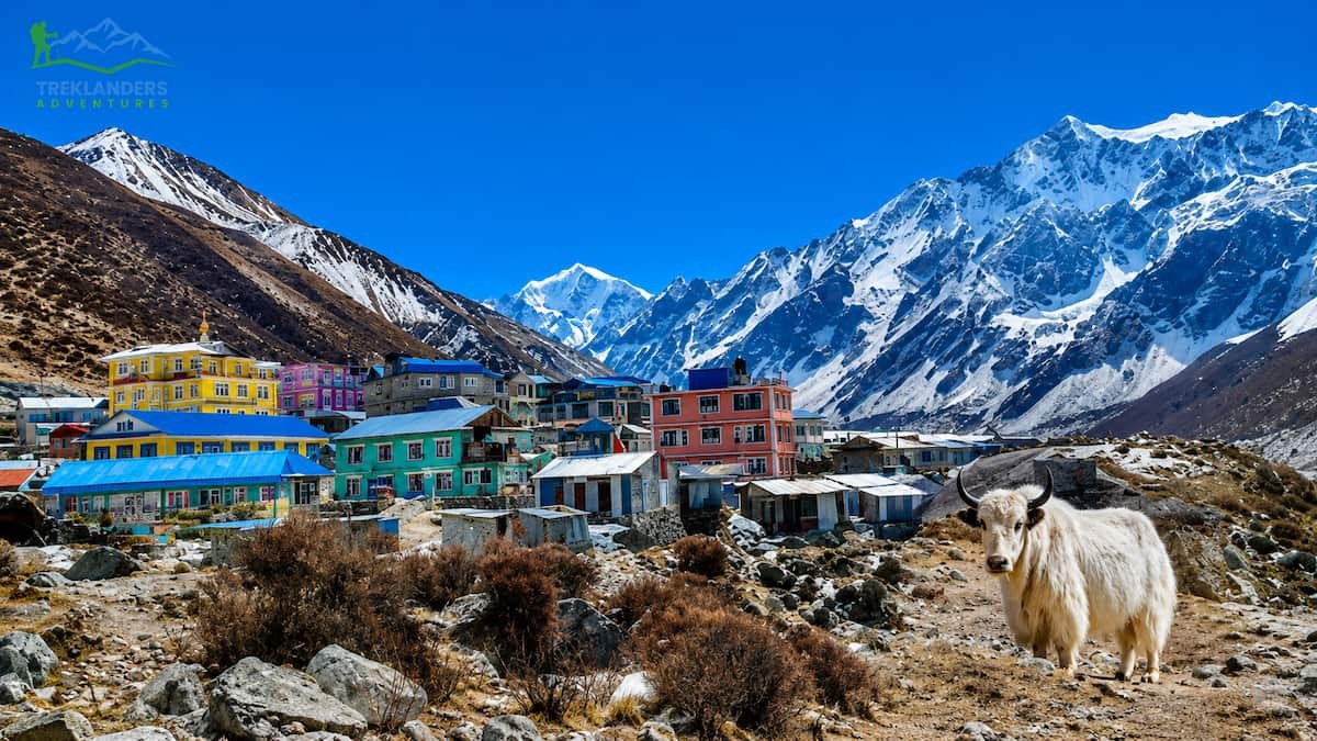
Experience the stunning final stretch to Kyanjin Gompa with breathtaking Himalayan views and unforgettable Langtang Valley scenery.

Quick Answer
Absolutely, The Langtang Valley Trek is quite safe if you visit in the post-monsoon season, but it is very important that you focus on the exact timing within that window. October and November are the safest times to go, with plenty of dry days, the most stable trails and absolutely clear mountain views. Late September may still have some leftover monsoon risk.
Keep reading if you want a full picture, a month-by-month breakdown, and updated regulations for 2025, which you must know before going.
In this guide
Langtang Valley is undoubtedly one of the easiest and most beautiful Himalayan treks in Nepal. It is only a drive of a few hours to the north of Kathmandu, and yet, it is so remote that it looks like another world. For miles and miles, the valley winds through the Langtang National Park. The trek will lead you to the serene villages of Tamang, through the glacial rivers, yak pastures, and finally to the magnificent Kyanjin Gompa situated at an altitude of around 3,800 m. All these will be happening in the background of the extremely beautiful Langtang Lirung (7, 234 m).

The trek will be a great experience if the timing is right with nature. If you choose the right time to come, you will see that the trails will be solid, the air will be transparent, and the snow-capped peaks will be visible from all directions. However, if you come during or immediately after an extended monsoon, you will see that the route becomes much more difficult.
If you are wondering whether it is safe to do the Langtang Valley Trek after the monsoon season, then this is the right guide for you as it answers this question with factual information, giving you a guide of different seasons, monthly hazards and also referring to the actual government regulations that came into effect in 2025.
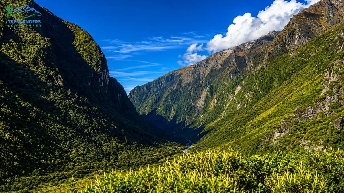
Nepal's monsoon (or barsha in the local language) lasts generally from June through September. However, the monsoon's presence or strength can vary significantly depending on the year. The post-monsoon period, also known as the autumn or fall trekking window, starts when the rains retreat, and the atmosphere becomes drier, usually at the end of September or the beginning of October.
Usually, the changeover from the monsoon to the post-monsoon period is very clear: the monsoon rains stop, the air becomes less humid, the sky gets clear, and the Himalayan views that had been hidden by the clouds for months suddenly reveal themselves in dramatic clarity. The Langtang Valley, located to the north of Kathmandu and partially protected by the high ridge along the Tibetan boundary, enjoys this transition very quickly because the valley gets a bit less rain than the Annapurna area during the rainy season, so the post-monsoon clean-up also goes faster there.
On the other hand, the "post-monsoon" season does not represent a sudden change of conditions. Three factors determine if a season is safe or not:
Usually, mid-October to November is the time when one gets the most dependable conditions. But in 2024, for instance, the rains were so heavy that the monsoon lasted unusually long into the month of September, and even parts of the valley experienced monsoon in October, which means the genuinely safe window got pushed to a later date than normal.
"The Langtang Valley Trek begins from Syabrubesi (1,550m) and ascends moderately through beautiful woodlands and Tamang villages — but the quality of that ascent is entirely defined by the season you choose."
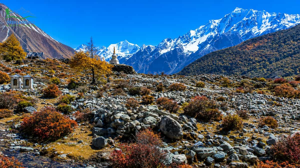
Langtang Valley Trek is considered a moderate level of difficulty route. It involves several physical challenges like high altitude, steep uphill and downhill, and varied terrain; nevertheless, it is doable for an average healthy person who has prepared well. The main changing factor, particularly during the post-monsoon period, is the condition of the path itself.
During late September, trails are often still going through the process of recovery. The lowest woodland area between Syabrubesi and Lama Hotel, marked by a thick mixed forest and several river crossings, remains wet for the longest. Paths get muddy frequently, with the parts of the roots exposed becoming slippery.
In vegetated areas, leeches may remain active. River levels will still be high, and bridges that were destroyed during the rains might not yet have been repaired. Teahouses that reduced their offerings during the monsoon are only at the stage of restocking and reopening for the season.
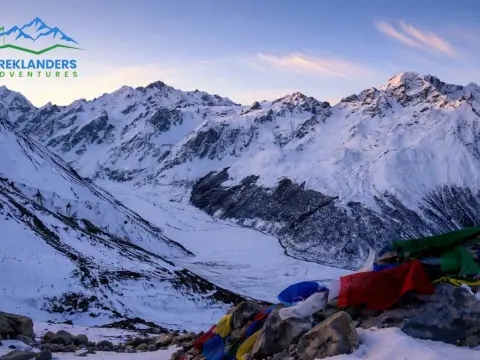
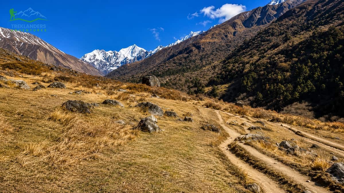
October is the month of change. By early to mid-October, paths higher than 2,000m are usually dry, well-packed, and stable. The upper part of the valley, from Langtang Village to Kyanjin Gompa, becomes hard and passable. Scenes of mountains suddenly become so clear: Langtang Liriru, Dorje Lakpa, Tserko Ri, and the remote line of the main Himalayan chain are all outlined crisply against the ever-blue skies.
Fall colors give an extra touch of coziness to the woods; golden leaves, scarily colored undergrowth, and the occasional bloom of late rhododendron make the scene more dramatic.
November sees the change of weather with a drop in temperature, which is even more dramatic at higher altitudes, while the trail conditions remain excellent. On top of that, the skies remain mostly clear. By the end of the month, the number of hikers is reduced significantly, and the air in Kyanjin Gompa feels very clean and fresh, which makes every step of the ascent more enjoyable. Usually, the temperature at night at Kyanjin can fall between -5°C and -10°C and sometimes the snowfall starts to happen above 4,000m; however, during the day, the walking is quite pleasant. To many, this month might even be the best one for taking pictures along the whole trekking path
The following table provides a condensed overview of conditions, temperature ranges, and our safety ratings for each month of the year. Note that temperatures are approximately daytime figures at mid-trail elevations (around 2,500–3,500m).
| Month | Season | Day Temp (°C) | Night Temp (°C) | Trail Condition | Trekking Rating |
| January | Winter | 4–10°C | −10 to −5°C | Snow above 3,000m, icy | Challenging |
| February | Winter | 5–12°C | −8 to −3°C | Snow lingering, clearer skies | Moderate |
| March | Spring | 8–16°C | −5 to 2°C | Stable, rhododendron bloom begins | Excellent |
| April | Spring | 10–20°C | −2 to 5°C | Dry, peak bloom, ideal footing | Peak Season |
| May | Spring | 12–22°C | 0 to 8°C | Warm, clear, some cloud builds | Excellent |
| June | Monsoon | 15–22°C | 8–14°C | Muddy, slippery, leeches | Avoid |
| July | Monsoon | 16–22°C | 10–15°C | Heavy rain, landslide risk | Avoid |
| August | Monsoon | 15–21°C | 9–14°C | Heavy rain, bridge damage likely | Avoid |
| September | Transition | 15–20°C | 5–10°C | Variable — wait for mid-month+ | Use Caution |
| October | Autumn | 10–18°C | 0 to 5°C | Dry, stable, superb views | Peak Season |
| November | Autumn | 8–15°C | −5 to 2°C | Very clear, cool, excellent | Excellent |
| December | Winter | 4–12°C | −8 to −1°C | Cold, early snow above 3,500m | Good for Experienced |
In 2024, the trekking season highlighted very clearly that just because the calendar says post-monsoon, safety is not necessarily there. It was actually an exceptionally long monsoon in the Langtang region, which caused quite a lot of problems in the valley during the whole season.
There was quite a lot of rain until late Sept 2024, which was the main cause of several landslides that have blocked the gut sections of the trail. Also, the very important stretch between Syabrubesi and Lama Hotel was the point of concern. The water level in Langtang Khola reached a dangerous level, and several temporary footbridges used by trekkers for river crossings have been swept away. Some teahouses in lower valley areas were flooded and had to be closed temporarily, which reduced the number of places to stay for those already trekking.
What was even more worrying was the situation further up the valley. The path from Langtang Village to Kyanjin Gompa, which is normally the most beautiful and easiest part, was badly damaged by the continuous rains that caused the slopes to be unstable and led to the formation of new landslides that hadn't happened in previous seasons. A few trekking groups were forced to have emergency evacuations because trails were blocked, and the safety situation was rapidly getting worse.
The Nepal Tourism Board issued formal advisories in late 2024 recommending that trekkers postpone journeys or choose alternate routes. The post-monsoon clarity that normally appears in the second week of October did not resolve itself until mid-November for that year. Economic impacts on local communities were significant: visitor numbers were considerably lower than in typical years.
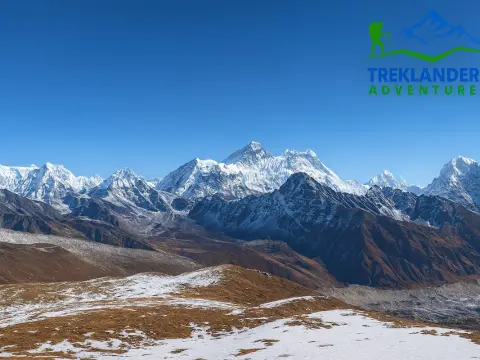
Picking the good season will greatly influence the whole trekking experience for you in Nepal. There are lots of factors like weather, conditions of the trail, how much can be seen, temperature, and the number of people that change greatly in nature during different times of the year. Based on local guide advice, trekking companies, and thousands of trekkers who keep coming back, an obvious seasonal trend is revealed. Some months normally have the best mountain visibility, the safest conditions, and the most enjoyable trekking overall.
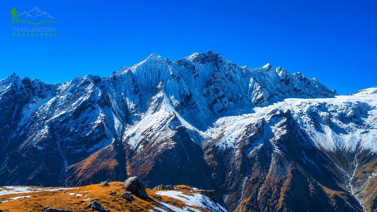
October is the best month for trekking in Nepal by far, according to a consensus. After the monsoon season, the atmosphere is purified and made fresh, keeping the trails dry and the visibility of mountains at its best. Generally, deep blue skies and the Himalayan ranges are seen clearly and dramatically during the day.
By day, the temperature is mostly between 10°C and 18°C, and by night it might be somewhere between 0°C and 5°C depending on the altitude one is at. With the weather being so stable, this season is perfect for adventurers at any level.
At this time, the autumn scenery is really glorious. Besides changing the color of the mountains to a golden hue, the forests getting a new look after the rainfall, and the rivers staying full and lively, the areas for trekking, such as Everest Base Camp, Annapurna Circuit, and Langtang Valley, get the most visitors in October.
Due to the large number of visitors, teahouses and domestic flights usually get booked up quickly. It is advisable to make reservations in advance.
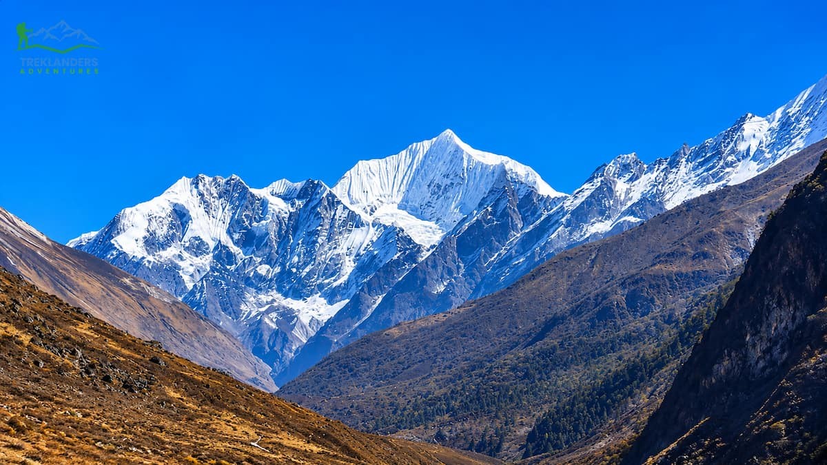
November, the autumn trekking season, keeps its streak of excellence. The hiking tracks are largely empty as compared to October; however, in most cases, the field of vision gets even better. The temperature dropping and the changes in the quality of the air lead to the making of a few of the clearest and most beautiful views of the Himalayan Mountains throughout the year.
At 10 a.m., the maximum temperature can be somewhere around 15°C, while the minimum at 10 p.m. can go as low as -5 °C and 2°C at the higher places of elevation. Heavy-duty sleeping bags and warm clothing are more essential this season.
November is the best time for the trekkers who want to avoid the crowd. The paths are still firm and dry, and the climate is rather stable. At this time, the mountain views at sunrise and sunset are really magnificent.
April is really the highlight of the spring trek season in Nepal. The rhododendron forests on the hills are in full bloom, and the flowers of red, pink and white colours make the narrow paths even more poetic. The whole nature seems alive and colours everywhere. And the sun is still not too hot. Sounds great, right?
Usually, the temperature during the day is 10 to 20 degrees Celsius. And nights are even pretty warm, something like minus 2 to 5 degrees Celsius, depending on the height of the place.
There are hardly any changes in the weather in April, but once in a while, a few clouds might form in the afternoon, and the mountains may not be visible. It is during mornings and early afternoons that the mountains can be seen very clearly. Spring is the time when many trekkers visit places like Annapurna Base Camp and Ghorepani Poon Hill, as the surroundings are the best.
March and May are great months for trekking, but of course, each of them has their specific advantages and disadvantages.
March means less crowded paths and temperatures that are slowly getting warmer after winter. However, higher altitude areas are likely to be pretty cold, especially at nighttime. Early in the month, one can still find some snow on the high passes.
May is definitely warmer, and in the lower trekking areas, it's a normal scenario that daytime temperature climbs to 22°C. On the other hand, as the pre-monsoon humidity is building up, afternoon clouds are becoming a frequent sight. To see the mountains, you have to get up early in the morning, as generally they are at their best at that time.
Trekking during these months is decent for those who want to avoid the huge influx of tourists during the peak months of October and April.
September and the Monsoon Season
September is the month when the monsoon starts to end. In the first part of September, one might still get heavy rains, slippery trails, landslides, and low visibility. But usually, the coming conditions after the middle of the month get significantly better.
The months of June to August are usually not suitable for many trekkers. Monsoon is at its peak, and so it is difficult and even dangerous to go through the trails. Leeches, overflowing rivers, broken bridges, and flight rescheduling will probably be a part of your trip. Also, you will most likely not see the mountains as incessant clouds will be hiding them for days.
Only seasoned monsoon trekkers are the ones who dare to take on the main Himalayan trekking routes in this season.
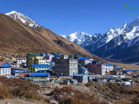
Knowing the hazards specific to the Langtang Valley and recognizing the differences caused by seasonal changes are the main things trekkers have to keep in mind. The scenery is stunning, but the ground will not show any mercy towards someone who doesn't know how to take care of their steps.
The lower half of the footpath, especially the part corresponding to the forested gorge between the villages of Syabrubesi and Lama Hotel, is situated in a terrain naturally prone to landslides. This is because the gorge sheer walls trap the water-soaked soil after a heavy downpour, while the trail, at the same time, runs, at certain points, along the exposed faces of the hill. Monsoon rains bring not only the risk of landslides but also the potential for the highest levels of danger, as this is the time when the trail is most vulnerable. It's mainly during and just after the monsoon season that this stretch poses the most threat of a landslide. In general, when the monsoon is over, starting from October, the threat is really quite a lot less; however, it is a good habit to look out for fresh landslide debris on the trail and be extra careful after any kind of rain, no matter how short.
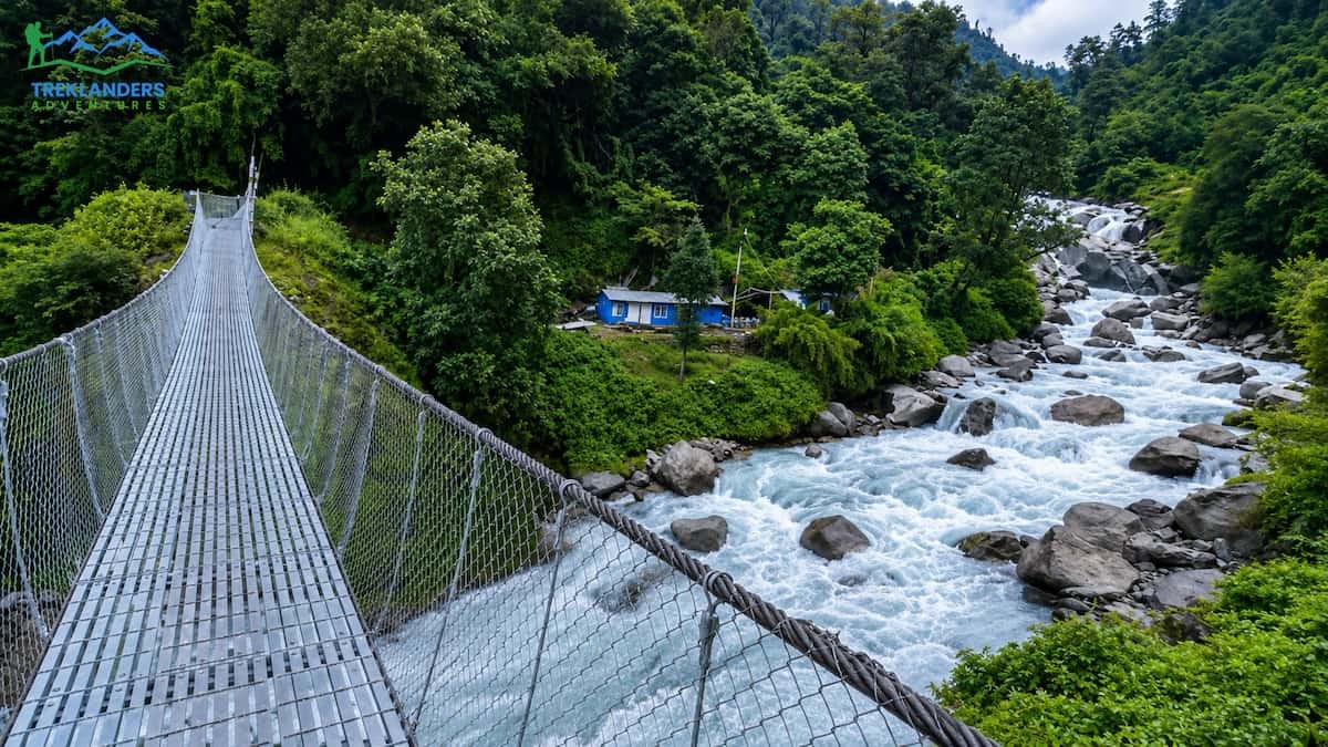
The Langtang Khola valley and its smaller tributaries are crossed on a number of occasions throughout the trek. The bridges go from very strong suspension bridges to more makeshift wooden bridges. During monsoon and just after monsoon, higher water levels and sudden floods can cause damage or destruction of the wooden bridges, which may lead to the need for a detour or a significant increase in the crossing difficulty. The water levels have generally gone down by October, and the bridges that have been repaired are ready for use again. However, if someone is in September, then it is advisable to check with the locals first about the condition of the bridges.
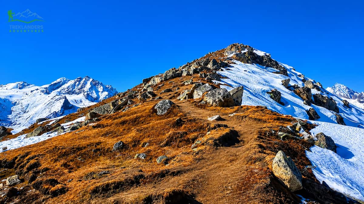
The trekking route in Langtang Valley will bring you to the highest point, which is Kyanjin Gompa situated at an altitude of about 3, 800-4, 200m and the nearby viewpoints (Kyanjin Ri: 4,773m; Tserko Ri: 4,984m). This is a lot lower than the altitude of Everest Base Camp, but still, it's enough to result in Acute Mountain Sickness (AMS) in the trekkers who are not prepared properly. It is not like the post-monsoon season lowers the risk of altitude, actually; the clear weather and better conditions might encourage the trekkers to make the most of the opportunity and go too fast and too high. The rules of the game are always these, no matter what time of the year: go up little by little, keep drinking water, no alcohol when you are up there, and if it turns out you are getting worse, then don't hesitate to come back down right away.
Standard AMS symptoms include persistent headaches, nausea, dizziness, and shortness of breath. Do not ascend further if symptoms are present. A licensed guide now mandatory since February 2025 will be your most important safety resource if AMS strikes on the trail.
Even in October and November, mountain weather remains very much a lottery. It is not uncommon for a sudden snowstorm or strong winds to strike without warning at altitudes of over 4,000m. The difference in temperature between a bright midday on the trail and a chilly night at Kyanjin Gompa might be 20°C or even higher. So, layering your clothes is not just about fashion; it is an essential survival technique. Besides having a warm-layer system ready for unexpected temperature changes, trekkers should also carry waterproof outer layers and be very careful not to underestimate how fast the weather in the high Himalaya can change.

If you are planning a trip to the Langtang Valley in 2026, a regulatory change is one thing you must be aware of. From February 15, 2025, the Nepal Government requires that all trekkers in the Langtang region, both foreigners and locals, have a licensed guide with them. The practice of trekking alone without a guide is not allowed anymore.
This regulation is being enforced by the Langtang National Park authorities together with the Trekking Agencies' Association of Nepal (TAAN). It covers all the trails inside the park, such as the Langtang Valley, Tamang Heritage Trail, and Gosaikunda Lake extension. Trekkers who are not accompanied by a licensed guide will be sent back at the checkpoints of Dhunche, Syabrubesi, and Ghoda Tabela. There are no reports of exceptions for solo or group trekkers without proper documentation.
The guide requirement was introduced primarily for safety to reduce accidents and missing persons cases, and to support local employment. It also affects how permits are obtained: foreign trekkers can no longer obtain TIMS cards independently. These must now be arranged through a registered trekking agency, along with your guide booking.
Here's what you need to know about Trekking in Langtang National Park
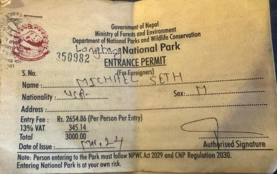
You can get a Langtang National Park Entry Permit from the main office of the park in Dhunche or from the Department of Immigration in Kathmandu. Cost: USD 30 per person (Price is subject to change; please verify the latest prices before booking).
The rates may vary from USD 10 to 20, depending on whether you are trekking solo or with a trekking agency. Upon booking with Treklanders, you need not worry about these permits as we handle them for you in your package.
Getting to the Trailhead
The trek starts at Syabrubesi, which is about 120 km northwest of Kathmandu by road. The journey duration averages 6-8 hours, depending on the road conditions. Private jeeps as well as local buses operate regularly to Syabrubesi. Your transportation will be included in your Treklanders package.
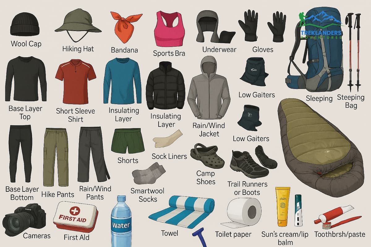
If you want to go trekking during the post-monsoon season in Langtang, you will have to face almost perfect conditions, which will allow you to enjoy your time the most. However, there is still no way that you can decide to bring less in your luggage. Firstly, the residual trail moisture combinations in September, together with rapidly dropping temperatures in the upper layers from October. Then the total unpredictability of a high mountain weather situation will make you think twice about your kit list.
Comfort in Langtang during the post-monsoon season is based mainly on a three-layer system. A moisture-wicking base layer helps the body get rid of sweat during the climb. A fleece or light down jacket that can be used as a mid-layer serves as a heat source during the time when you are not moving, both at the rest stops and at camp. A waterproof, wind-resistant shell layer which can be used in the event of sudden weather changes outdoors. A single heavy jacket is not suitable for use. Besides the fact that it will be too warm on the sunny climbs, it will be totally insufficient on the cold, windy ridges.
Good ankle support and grip are non-negotiable. For post-monsoon trekking, mid-cut or high-cut waterproof trekking boots offer the ideal balance of protection and flexibility. Trails that dried quickly from October onward can still contain wet patches, stream crossings, and loose rock on upper sections. Trekking poles are highly recommended for steep descents and for balance on any remaining muddy sections in late September.
Along with your equipment and planning your travel time, the factor that still separates a terrific and safe trek from a life-threatening situation in the Langtang Valley is, most of the time, your behavior on the trail. Your top safety tool is still your local guide, who will be knowledgeable about the routes, the weather, any emergencies, etc. And you have to keep in mind that having a guide is not just a recommendation anymore, but a legal requirement.
The biggest error that most of the people make while trekking in Langtang is rushing the pace. Excellent weather after the monsoon can mislead you into thinking that you can make up for the lost time, the trail looks all clear, the sky is perfect without a cloud, and the peak looks quite close. However, make an acclimatisation day at Kyanjin Gompa as part of your plan before going for Kyanjin Ri or Tserko Ri. Your body is the one that requires time; however, if the mountains are the ones to wait for.
Usually, the weather in the Himalayas is at its best in the mornings. The formation of clouds in the afternoons, even in October, is quite possible. So, starting your trekking day at dawn not only gives you the best light and the best visibility but also provides you with a good safety margin in case the conditions get worse. Moreover, it also implies that you will be reaching the teahouses with plenty of time available for resting and getting used to the altitude before the temperature drops.
If you are visiting in the months of September and early October, it is best that you check with your guide or the travel agency for any updates on the trail conditions before leaving Kathmandu. The condition after a monsoon can be quite different from what you think; a place that was not passable a week ago can be fully open now, and the other way around as well. The trusted trekking agencies in Kathmandu have regular communication with teahouse owners and trail porters throughout the trekking season.
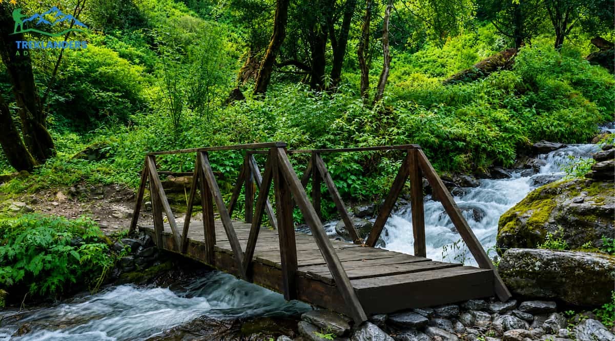
If you are hiking late September, consider every river crossing a possible danger feature until you see the conditions with your own eyes. A bridge that looks as if it is still working may have damaged footing. Don't ever cross a flooded river without your guide's evaluation. If you are hesitating, waiting might be the best option, weather changes, and only a couple of hours can make the difference between a safe crossing and a risky one.
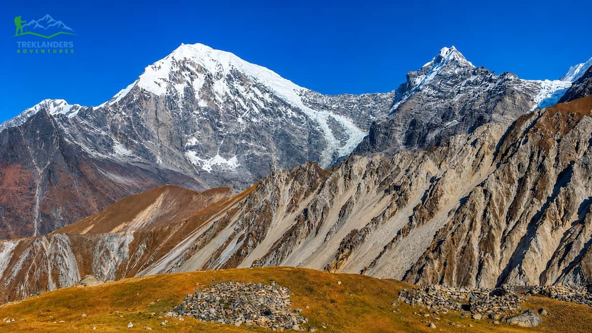
In conclusion, the Langtang Valley Trek is undoubtedly among the most fulfilling Himalayan adventures in Nepal, and the post-monsoon season is certainly the best time to embark on it. With the trails being dry, the mountain views being crystal-clear, and the temperatures during the day being comfortable; October and November make this already stunning route a truly unforgettable one. Whether you find yourself at Kyanjin Gompa witnessing Langtang Lirung being lit by the first rays of the sun or climbing up to Kyanjin Ri for a breathtaking view of the entire Himalayan horizon, the autumn season offers the type of trekking experience that remains with you even after you have returned home.
That said, post-monsoon does not mean risk-free. September requires caution and real-time trail verification, especially after years like 2024 when an unusually long monsoon pushed safe trekking conditions well into October. Landslides, swollen rivers, and unstable hillsides are genuine hazards in the transition weeks: not reasons to avoid the trek, but reasons to plan carefully and stay informed.
With the mandatory guide regulation in 2025, the trek logistics of Langtang have been altered, but it has also significantly raised the safety level for every trekker on the trail. A licensed and well-informed local guide is your most important resource in the mountains, even more so than any piece of equipment, application, or guidebook. Combine that with the Langtang National Park permit, a TIMS card organized through a registered agency, and thorough travel insurance that includes helicopter evacuation, and you are set for a properly done trek.
If you want to experience the full peak-season experience, go for October. If you are after less crowded trails and colder days, pick up November. And if September is your choice, a trustworthy local agency should be the one to verify conditions for you before you get on the bus to Syabrubesi.
Langtang is calling it old, untouched, and beautiful. If you go at the right time, be well prepared; it will offer you everything it has.
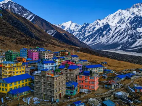
Experience the stunning final stretch to Kyanjin Gompa with breathtaking Himalayan views and unforgettable Langtang Valley scenery.
Complete guide to Thorong La Pass with trekking tips, altitude safety, acclimatization, permits, and route details for the Annapurna Circuit Trek.
Dingboche vs Pheriche: Which acclimatization stop is better for a safer and more successful Everest Base Camp Trek?



